Ashlar Head
Landscape Feature in Fife
Scotland
Ashlar Head
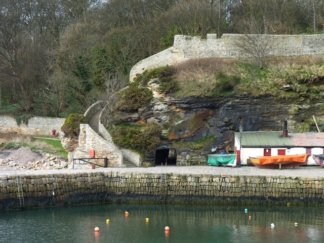
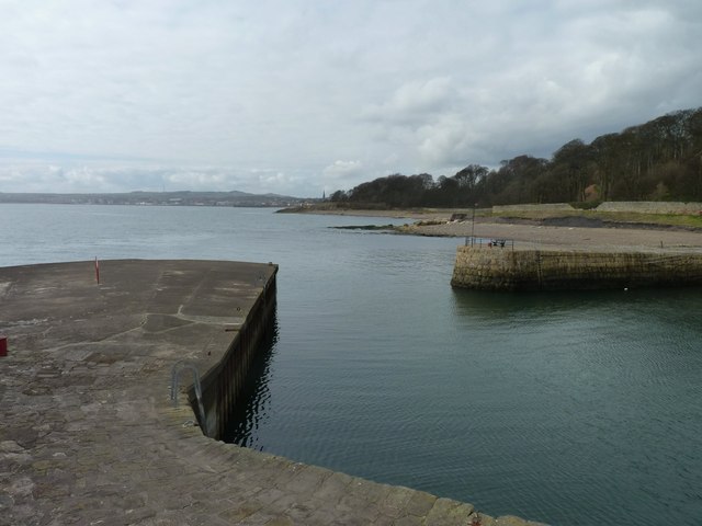
Ashlar Head is a prominent and visually striking landscape feature located in Fife, Scotland. Situated on the coastline near the village of Elie, it is a rocky headland that juts out into the North Sea. The name "Ashlar Head" refers to the distinctive appearance of the cliffs, which resemble carefully cut and polished blocks of ashlar stone.
The headland is composed of rugged sandstone, which has been eroded over centuries by the relentless action of wind and waves. This geological process has created a series of dramatic cliffs and sea stacks that make up Ashlar Head. The cliffs rise to a height of approximately 20 meters, providing a spectacular view of the surrounding area.
The location is known for its rich biodiversity, with numerous species of seabirds nesting on the cliffs, including gulls, fulmars, and kittiwakes. The surrounding waters are also home to a variety of marine life, making it a popular spot for birdwatching and wildlife enthusiasts.
Ashlar Head is not only a natural wonder but also holds historical significance. It is believed that the headland was used as a lookout point during World War II, providing a strategic vantage point for monitoring enemy activities along the coastline.
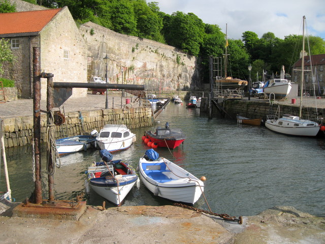
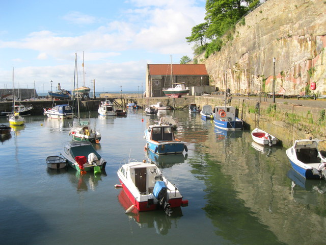
Today, Ashlar Head attracts a steady stream of visitors who come to admire its rugged beauty, enjoy coastal walks, and explore the nearby Elie and Earlsferry beaches. The area is also a popular spot for rock climbing and offers opportunities for adventurous outdoor activities.
Overall, Ashlar Head is a captivating landscape feature that showcases the raw power of nature and provides a glimpse into the rich natural and historical heritage of Fife.
If you have any feedback on the listing, please let us know in the comments section below.
Ashlar Head Images
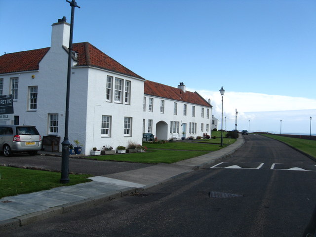
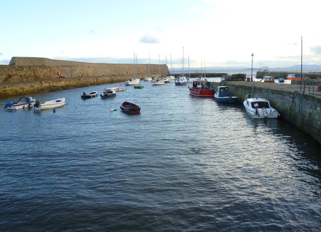
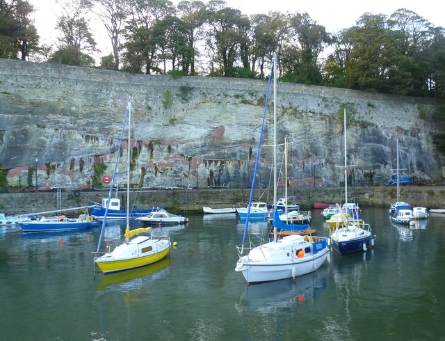
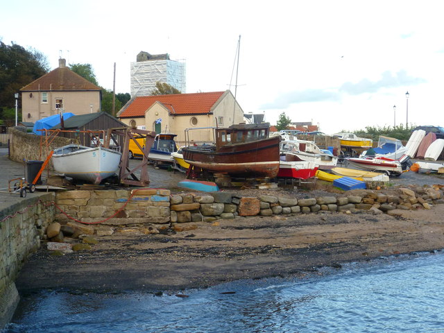
Images are sourced within 2km of 56.122034/-3.1259749 or Grid Reference NT3092. Thanks to Geograph Open Source API. All images are credited.
Ashlar Head is located at Grid Ref: NT3092 (Lat: 56.122034, Lng: -3.1259749)
Unitary Authority: Fife
Police Authority: Fife
What 3 Words
///hotels.stuff.tame. Near Kirkcaldy, Fife
Nearby Locations
Related Wikis
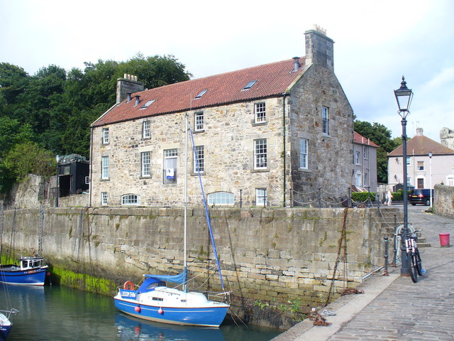
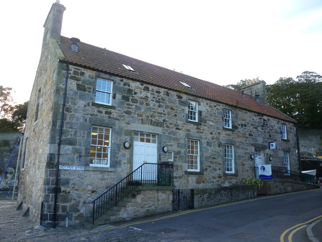
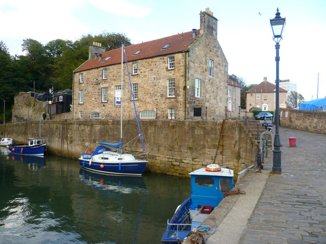
Harbourmaster's House, Dysart
The Harbourmaster's House is a B-listed 18th-century building located by Dysart Harbour, near Kirkcaldy in Fife, Scotland. It houses the first coastal...
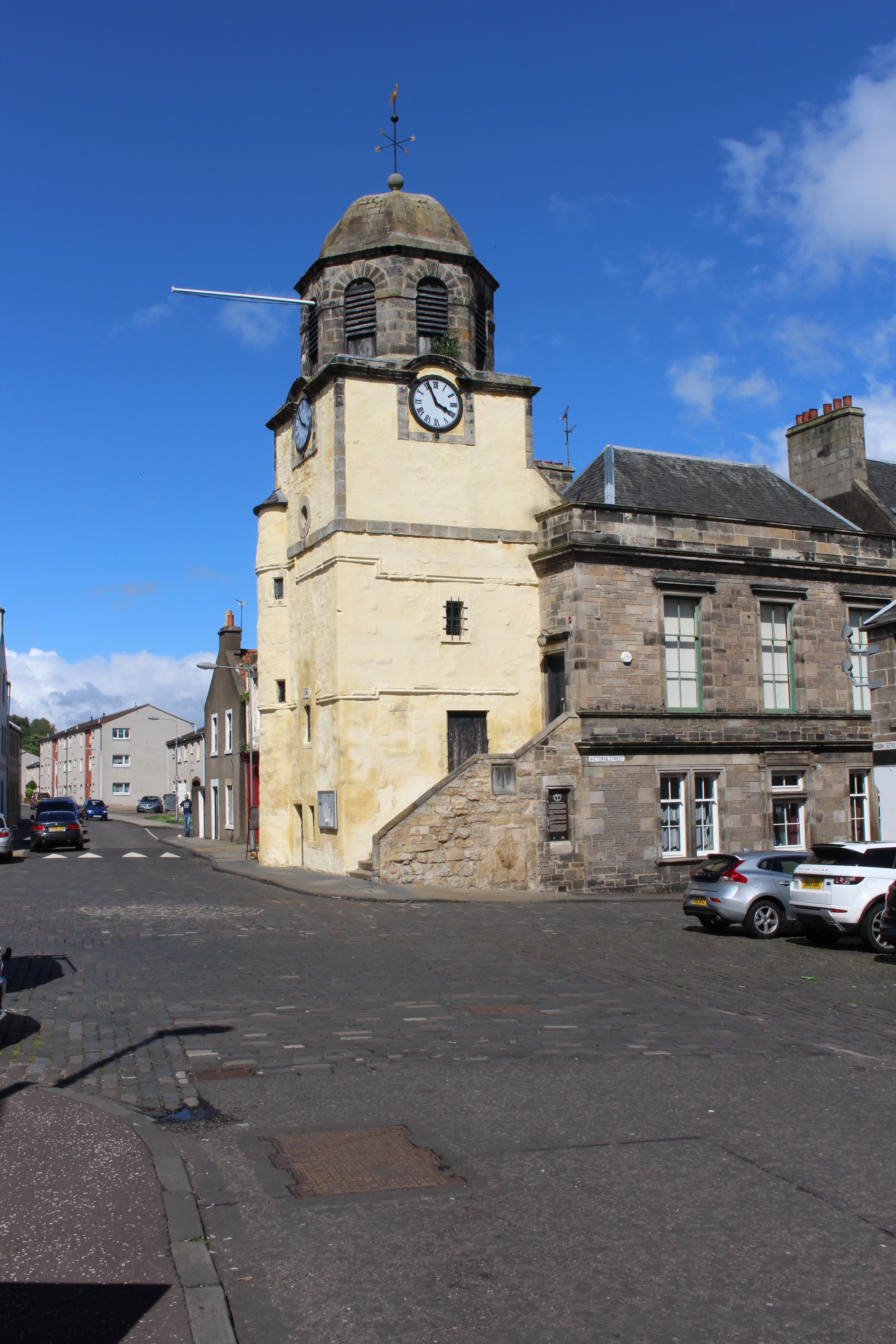
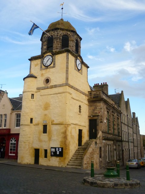
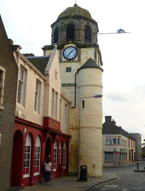
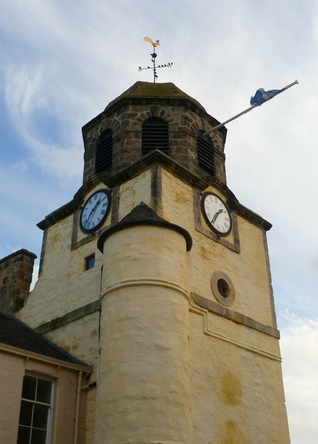
Dysart Tolbooth and Town House
Dysart Tolbooth and Town House is a municipal building in the High Street, Dysart, Fife, Scotland. The structure, which was comprehensively restored in...
Dysart railway station, Fife
Dysart railway station served the burgh of Dysart, Fife, Scotland from 1847 to 1969 on the Edinburgh and Northern Railway. == History == The station opened...
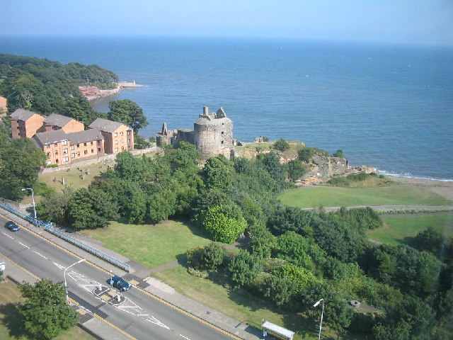
Ravenscraig Castle
Ravenscraig Castle is a ruined castle located in Kirkcaldy which dates from around 1460. The castle is an early example of artillery defence in Scotland...
Nearby Amenities
Located within 500m of 56.122034,-3.1259749Have you been to Ashlar Head?
Leave your review of Ashlar Head below (or comments, questions and feedback).