Broadstone Head

Landscape Feature in Westmorland South Lakeland

England

Broadstone Head

Moorland with knoll east of Calf Crag Ground east of Calf Crag with snow remnants.
Beyond and more completely snowed are Fairfield and Great Rigg.
Moorland with knoll east of Calf Crag Credit: Trevor Littlewood

Broadstone Head is a prominent landscape feature located in the county of Westmorland, England. Situated approximately 2 miles southwest of the town of Appleby-in-Westmorland, it is part of the picturesque Eden Valley.

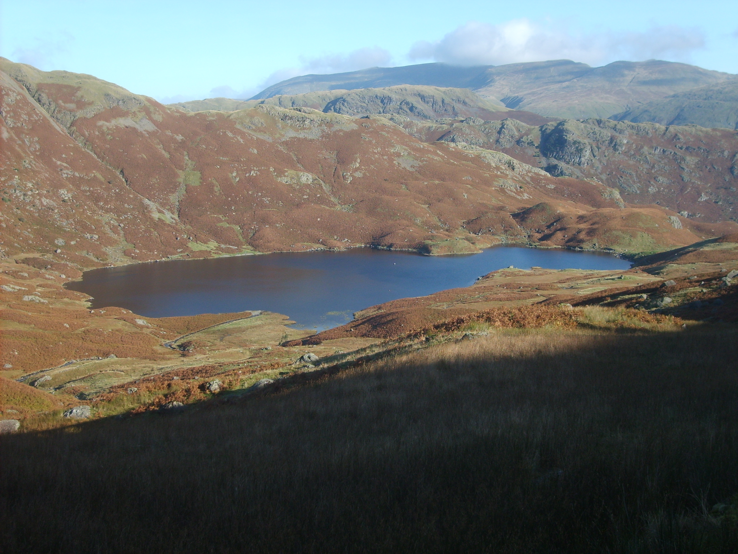
Rising to an elevation of 1,049 feet (320 meters) above sea level, Broadstone Head is a notable hill that forms part of the Pennines mountain range. The hill is characterized by its distinctive shape, with a flat, broad summit that stretches for approximately 1.5 miles (2.4 kilometers) in length. This unique feature is believed to have been shaped by glacial activity during the last Ice Age.

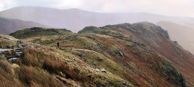
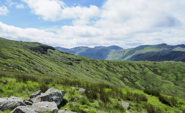
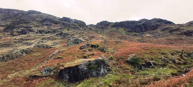
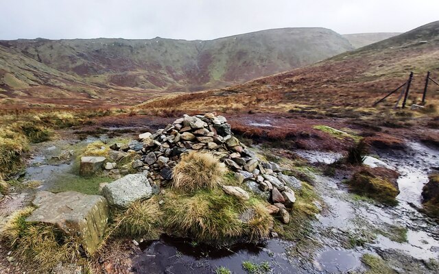
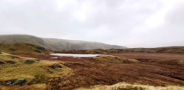
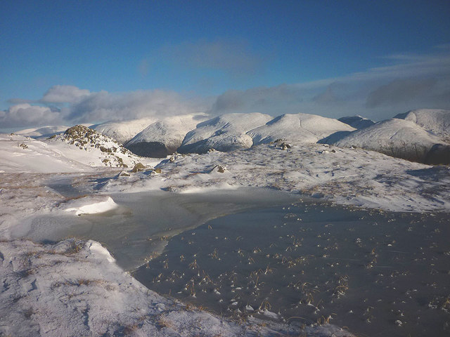
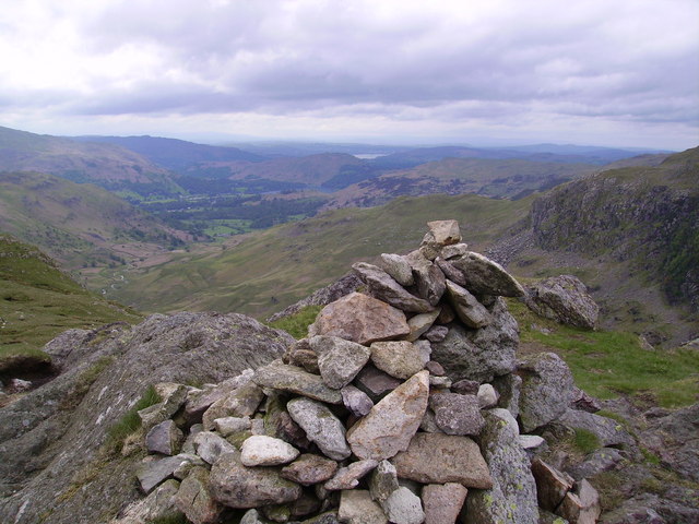
The hill is mostly covered in moorland vegetation, consisting of heather, grasses, and scattered shrubs. It offers breathtaking panoramic views of the surrounding countryside, including the nearby River Eden and the rolling hills of the Pennines. On a clear day, it is possible to see the Lake District National Park to the west.

Broadstone Head is a popular destination for outdoor enthusiasts and nature lovers. It offers several walking trails that allow visitors to explore the area and enjoy the stunning vistas. The hill is also home to a diverse range of wildlife, including birds such as curlews, lapwings, and red grouse, as well as various small mammals.

Overall, Broadstone Head in Westmorland is a striking landscape feature that offers both natural beauty and opportunities for outdoor recreation, making it a must-visit destination for those exploring the enchanting Eden Valley.

If you have any feedback on the listing, please let us know in the comments section below.

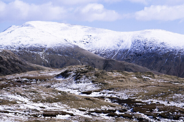
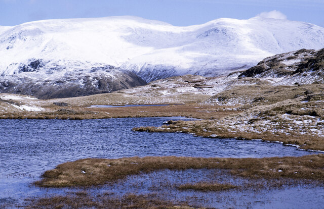
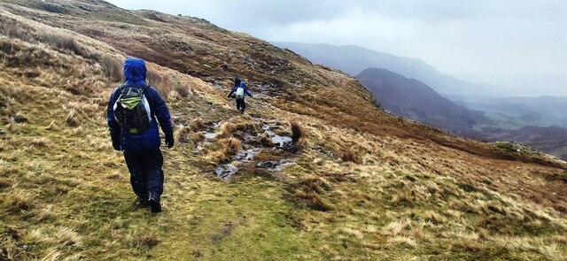
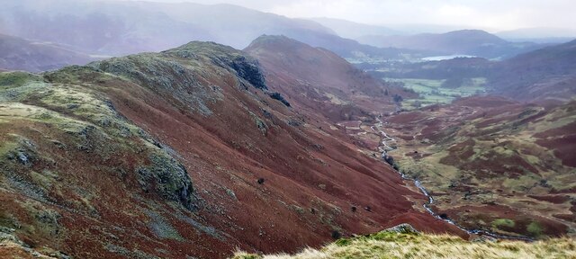
Broadstone Head Images

Images are sourced within 2km of 54.479368/-3.0880169 or Grid Reference NY2909. Thanks to Geograph Open Source API. All images are credited.

Moorland with knoll east of Calf Crag Ground east of Calf Crag with snow remnants.
Beyond and more completely snowed are Fairfield and Great Rigg.
Moorland with knoll east of Calf Crag
Ground east of Calf Crag with snow remnants. Beyond and more completely snowed are Fairfield and Great Rigg.
Unnamed tarn west of Steel Fell - 2 This is the largest of a number of tarns along the broad ridge connecting Steel Fell with Calf Crag; it's unnamed on OS maps.
In the distance, Helvellyn is the massive hill to the left; Nethermost Pike and Dollywaggon Pike are the other snow-covered domes.
Unnamed tarn west of Steel Fell - 2
This is the largest of a number of tarns along the broad ridge connecting Steel Fell with Calf Crag; it's unnamed on OS maps. In the distance, Helvellyn is the massive hill to the left; Nethermost Pike and Dollywaggon Pike are the other snow-covered domes.
Footpath below Calf Crag
Moment Crag above Far Easedale
Lone Walker above Moment Crag
The view east from Belles Knot Easedale tarn is in the distance.
The view east from Belles Knot
Easedale tarn is in the distance.
Grassy slope at head of Greenup valley The rock band beyond the slope at the head of the valley is Long Crag.
Mountains of the Scafell group are seen distantly at the centre of the image.
Grassy slope at head of Greenup valley
The rock band beyond the slope at the head of the valley is Long Crag. Mountains of the Scafell group are seen distantly at the centre of the image.
Broadstone Head
Broadstone Head
Cairn at the head of Far Easedale
Tarn on Brownrigg Moss
Un-named Stream After heavy rain overnight steams are full and fast flowing. This one flows for about 1.5km before emptying into Easedale Tarn on Grasmere Common but is un-named on the Ordnance Survey map. I’m surprised, such an obvious feature.

Taken from my blog <span class="nowrap"><a title="https://fhithich.wordpress.com/2015/08/28/easedale-tarn/" rel="nofollow ugc noopener" href="https://fhithich.wordpress.com/2015/08/28/easedale-tarn/">Link</a><img style="margin-left:2px;" alt="External link" title="External link - shift click to open in new window" src="https://s1.geograph.org.uk/img/external.png" width="10" height="10"/></span>
Un-named Stream
After heavy rain overnight steams are full and fast flowing. This one flows for about 1.5km before emptying into Easedale Tarn on Grasmere Common but is un-named on the Ordnance Survey map. I’m surprised, such an obvious feature. Taken from my blog LinkExternal link
Ruined Sheepfold, High Raise
High Raise Trig Point Moments before the weather closed in. Pike o'Stickle just visible.
High Raise Trig Point
Moments before the weather closed in. Pike o'Stickle just visible.
Drifting snow, Codale head Deep snow has collected in the lee of rocks and lumpy ground and been sculpted by the wind. Most of the higher fell country has snow cover which makes progress difficult at times when it is deep and soft like this.
Drifting snow, Codale head
Deep snow has collected in the lee of rocks and lumpy ground and been sculpted by the wind. Most of the higher fell country has snow cover which makes progress difficult at times when it is deep and soft like this.
Sergeant Man Two walkers summit the small rocky peak. Beyond, are the craggy coves of Crinkle Crags.
Sergeant Man
Two walkers summit the small rocky peak. Beyond, are the craggy coves of Crinkle Crags.
Codale Tarn in winter The tarn is quite close to the popular path to Sergeant Man but sits off route and out of sight on a shelf to the north. It sees far fewer visitors than Easedale Tarn.
Codale Tarn in winter
The tarn is quite close to the popular path to Sergeant Man but sits off route and out of sight on a shelf to the north. It sees far fewer visitors than Easedale Tarn.
Frozen tarn east of Codale Head This long narrow tarn sits on an exposed shelf with an excellent view towards the Helvellyn range. It would have been a delectable place for a stop were it not for the freezing gale.
Frozen tarn east of Codale Head
This long narrow tarn sits on an exposed shelf with an excellent view towards the Helvellyn range. It would have been a delectable place for a stop were it not for the freezing gale.
Show me another place!

Broadstone Head is located at Grid Ref: NY2909 (Lat: 54.479368, Lng: -3.0880169)

Administrative County: Cumbria

District: South Lakeland

Police Authority: Cumbria

What 3 Words

///recorders.radiated.radically. Near Ambleside, Cumbria

Nearby Locations

Broadstone Head

Related Wikis

Nearby Amenities

Located within 500m of 54.479368,-3.0880169
Ele: 490
Natural: saddle
Lat/Long: 54.4824027/-3.0891956
Bicycle: yes
Foot: yes
Ford: yes
Horse: yes
Lat/Long: 54.480036/-3.0806657
Bicycle: yes
Foot: yes
Ford: yes
Horse: yes
Lat/Long: 54.4827454/-3.0915548
Bicycle: yes
Foot: yes
Ford: yes
Horse: yes
Lat/Long: 54.4834202/-3.0913342
Bicycle: yes
Foot: yes
Ford: yes
Horse: yes
Lat/Long: 54.4825866/-3.091123
The data included in this document is from www.openstreetmap.org. The data is made available under ODbL.

Have you been to Broadstone Head?

Leave your review of Broadstone Head below (or comments, questions and feedback).