Sròn Dubh

Landscape Feature in Aberdeenshire

Scotland

Sròn Dubh

Unexpected junction Climbing up the glen this junction in the track, which isn't marked on the OS 1:25k map appears. In reality the right hand fork is just the entrance to a turning circle / parking area.
Unexpected junction Credit: Brian Wade

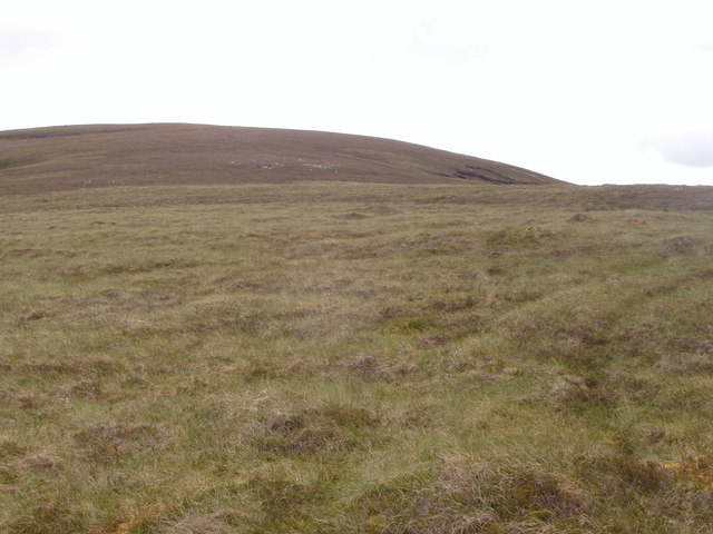
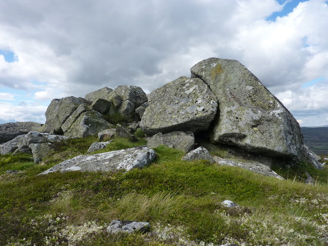
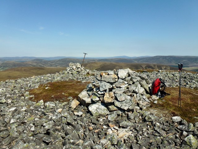
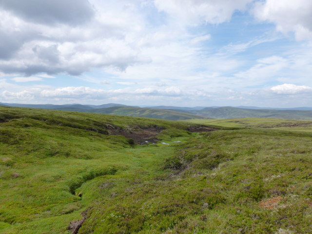
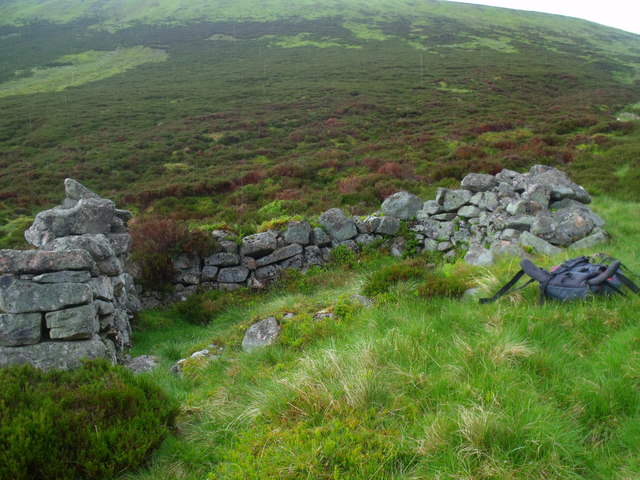
Sròn Dubh is a prominent landscape feature located in Aberdeenshire, Scotland. It is a steep, rocky hill with a dark, rugged appearance, hence its name which translates to "Black Nose" in Gaelic. The hill rises sharply from the surrounding countryside, offering stunning views of the surrounding area.

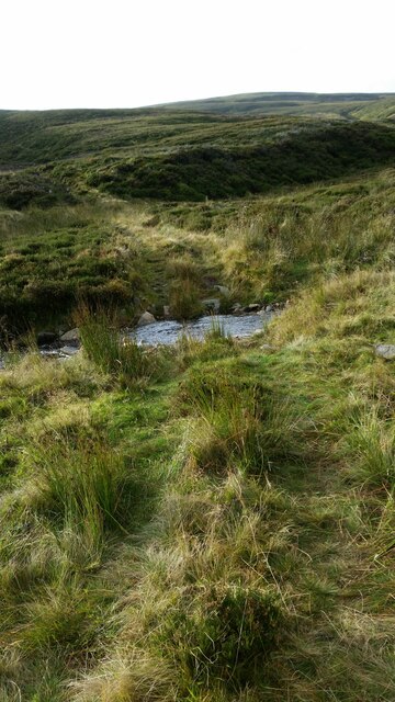
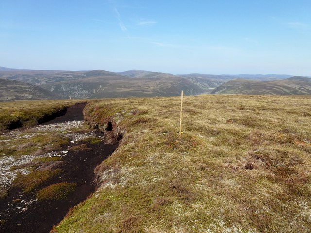
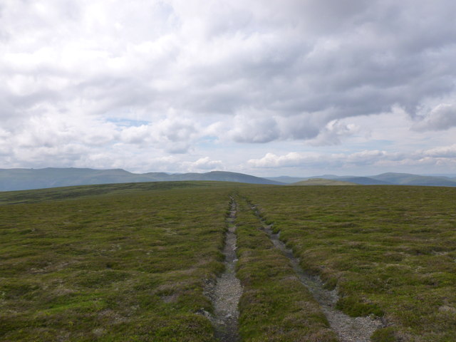
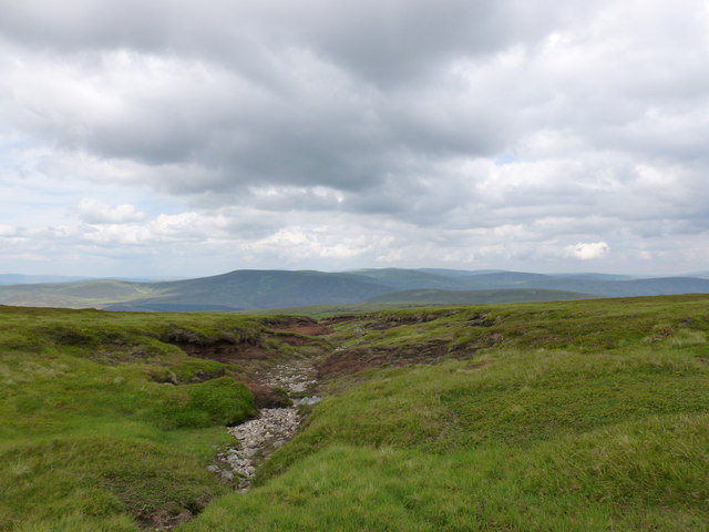
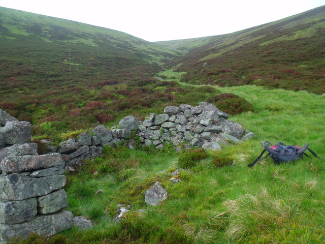
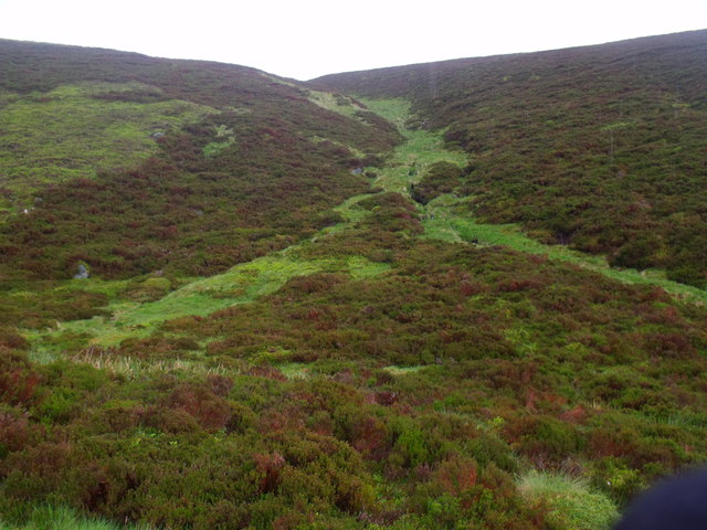
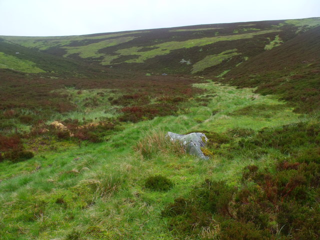
Covered in heather and grasses, Sròn Dubh is a popular hiking destination for outdoor enthusiasts looking to challenge themselves with a steep ascent. The hill is known for its challenging terrain, with rocky outcrops and crags adding to the difficulty of the climb.

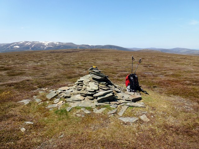
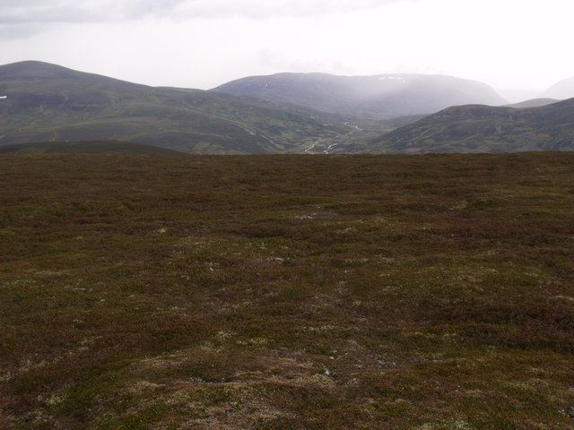
At the summit of Sròn Dubh, hikers are rewarded with panoramic views of the Aberdeenshire countryside, including rolling hills, forests, and distant mountains. On a clear day, it is possible to see all the way to the North Sea from the top of the hill.

Overall, Sròn Dubh is a striking and picturesque landscape feature in Aberdeenshire, offering both a physical challenge and a visual feast for those who make the effort to climb it.

If you have any feedback on the listing, please let us know in the comments section below.
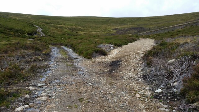
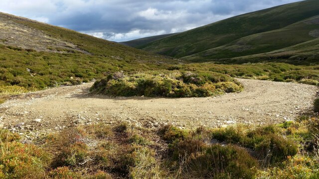
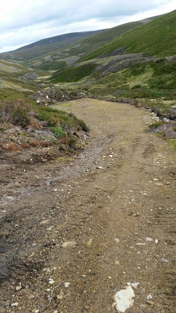
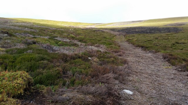
Sròn Dubh Images

Images are sourced within 2km of 57.1343/-3.2964287 or Grid Reference NJ2105. Thanks to Geograph Open Source API. All images are credited.

Unexpected junction Climbing up the glen this junction in the track, which isn't marked on the OS 1:25k map appears. In reality the right hand fork is just the entrance to a turning circle / parking area.
Unexpected junction
Climbing up the glen this junction in the track, which isn't marked on the OS 1:25k map appears. In reality the right hand fork is just the entrance to a turning circle / parking area.
Turning circle This turning circle isn't marked on the OS 1:25k map.
Turning circle
This turning circle isn't marked on the OS 1:25k map.
Parking area Another bulldozed area for the Royals & guests to park during shoots. Not marked on OS 1:25k map.
Parking area
Another bulldozed area for the Royals & guests to park during shoots. Not marked on OS 1:25k map.
Bulldozed track to grouse shooting butts A recent track driven up from the main track up the glen towards a line of butts.
Bulldozed track to grouse shooting butts
A recent track driven up from the main track up the glen towards a line of butts.
Rough ford You would need a pretty capable ATV or quad bike to get down to and across this ford, but it is obviously in use.
Rough ford
You would need a pretty capable ATV or quad bike to get down to and across this ford, but it is obviously in use.
Meikle Geal Charn Looking S-W from just N-E of bealach to Little Geal Charn
Meikle Geal Charn
Looking S-W from just N-E of bealach to Little Geal Charn
Clach Choutsaich "Coutts' Stone" One of several tors with the same name in the area, of historical importance to the clan Coutts.
Clach Choutsaich
"Coutts' Stone" One of several tors with the same name in the area, of historical importance to the clan Coutts.
Brown Cow Hill Climbed from Corgarff Castle car park in an anticlockwise circuit, in very warm conditions.
Name: Brown Cow Hill
Hill number: 597
Height: 829m / 2720ft
Area: 08B: Cairngorms
Class: Ma,C
Grid ref: NJ 22104 04446
Summit feature: cairn
Drop: 295m
Col: 534m  NJ302051
Brown Cow Hill
Climbed from Corgarff Castle car park in an anticlockwise circuit, in very warm conditions. Name: Brown Cow Hill Hill number: 597 Height: 829m / 2720ft Area: 08B: Cairngorms Class: Ma,C Grid ref: NJ 22104 04446 Summit feature: cairn Drop: 295m Col: 534m NJ302051
Meikle Geal Charn Top from Corgarff Castle car park in an anticlockwise circuit, in very warm conditions.
Name: Brown Cow Hill - Meikle Geal Charn
Hill number: 3119
Height: 802m / 2631ft
Area: 08B: Cairngorms
Class: CTC
Grid ref: NJ 20050 05268
Summit feature: cairn
Drop: 58m
Col: 744m  NJ206047
Meikle Geal Charn
Top from Corgarff Castle car park in an anticlockwise circuit, in very warm conditions. Name: Brown Cow Hill - Meikle Geal Charn Hill number: 3119 Height: 802m / 2631ft Area: 08B: Cairngorms Class: CTC Grid ref: NJ 20050 05268 Summit feature: cairn Drop: 58m Col: 744m NJ206047
Cairn Leitir Na Cloiche Cairn Leitir na Cloiche is a point on the ridge on the way to Cairn Culchavie the first top on my Brown Cow Hill circuit.
Cairn Leitir Na Cloiche
Cairn Leitir na Cloiche is a point on the ridge on the way to Cairn Culchavie the first top on my Brown Cow Hill circuit.
Tracks leading west from Brown Cow summit The name Cairn Sawvie, which appears on the map, is an anglicisation of the Gaelic name Carn Saobhaidhe (cairn of the fox's den).
Tracks leading west from Brown Cow summit
The name Cairn Sawvie, which appears on the map, is an anglicisation of the Gaelic name Carn Saobhaidhe (cairn of the fox's den).
Dry watercourse on Brown Cow Hill Not sure how much water there is in this usually, but the peat was very dry after a warm, dry spell.
Dry watercourse on Brown Cow Hill
Not sure how much water there is in this usually, but the peat was very dry after a warm, dry spell.
Peaty banks on Brown Cow Hill Very dry in a July heatwave.
Peaty banks on Brown Cow Hill
Very dry in a July heatwave.
Howff by the north branch of Easter Shenalt on Brown Cow Hill, Grampian Whether or not a true howff, it shows, like any venerable pile, several generations of architectural accretion! The NE wall is more a pile of stones whereas the SW is skilfully engineered, though not impervious to the weather which I put down to lack of time on the site - hence the idea of the howff whose secrecy often called for some haste. The NW and SE walls both give the air of some remain of an earlier dwelling still, the piling of stones being the most recent.
Howff by the north branch of Easter Shenalt on Brown Cow Hill, Grampian
Whether or not a true howff, it shows, like any venerable pile, several generations of architectural accretion! The NE wall is more a pile of stones whereas the SW is skilfully engineered, though not impervious to the weather which I put down to lack of time on the site - hence the idea of the howff whose secrecy often called for some haste. The NW and SE walls both give the air of some remain of an earlier dwelling still, the piling of stones being the most recent.
Dry ground on the bealach between Meikle Geal Charn and Carn Sawvie west of Brown Cow Hill, Grampian The weather's dole in the offing to the west.
Dry ground on the bealach between Meikle Geal Charn and Carn Sawvie west of Brown Cow Hill, Grampian
The weather's dole in the offing to the west.
North branch of Easter Shenalt on Brown Cow Hill, Grampian
Howff on Brown Cow Hill, Grampian
Course of Easter Shenalt on Brown Cow Hill, Grampian
Show me another place!

Sròn Dubh is located at Grid Ref: NJ2105 (Lat: 57.1343, Lng: -3.2964287)

Unitary Authority: Aberdeenshire

Police Authority: North East

What 3 Words

///guarding.stages.facelift. Near Ballater, Aberdeenshire

Nearby Locations

Sròn Dubh

Related Wikis

Delnadamph Lodge

Delnadamph Lodge was located on the Balmoral Estate about 8 miles (13 km) north of the castle. The lodge and its estate lands were bought by Queen Elizabeth...

Corgarff Castle

Corgarff Castle is located slightly west of the village of Corgarff, in Aberdeenshire, north-east Scotland. It stands by the Lecht road, which crosses...

Cock Bridge (Aberdeenshire)

Cock Bridge is a settlement in Aberdeenshire, Scotland, located in the Cairngorms National Park, on the A939 road near Corgarff and Corgarff Castle, between...
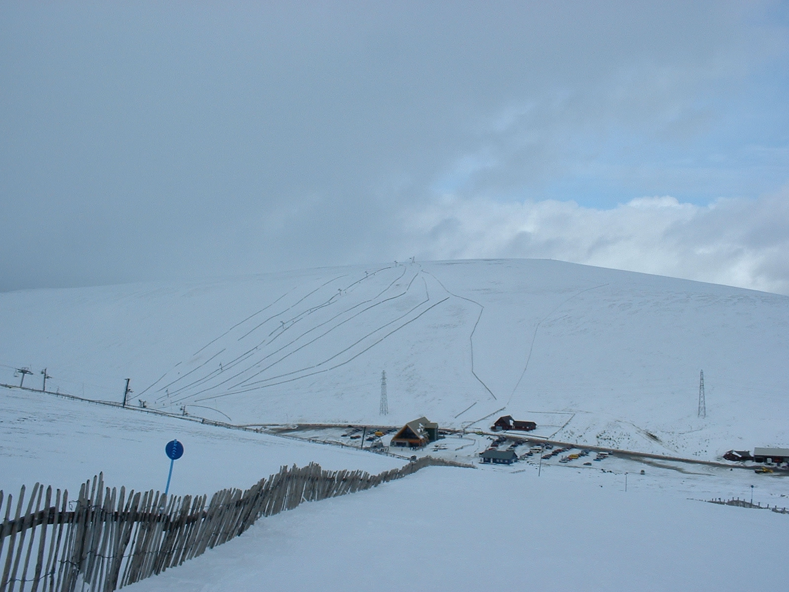
Lecht Ski Centre

The Lecht Ski Centre is an alpine ski area in the Cairngorms in the Scottish Highlands. The ski slopes are set around the mountains Beinn a' Chruinnich...

Have you been to Sròn Dubh?

Leave your review of Sròn Dubh below (or comments, questions and feedback).