Foxfield Point
Coastal Feature, Headland, Point in Lancashire South Lakeland
England
Foxfield Point

Foxfield Point is a prominent coastal feature located in the county of Lancashire, England. Situated on the western coast of the country, it is classified as a headland and point due to its distinct geographical characteristics.
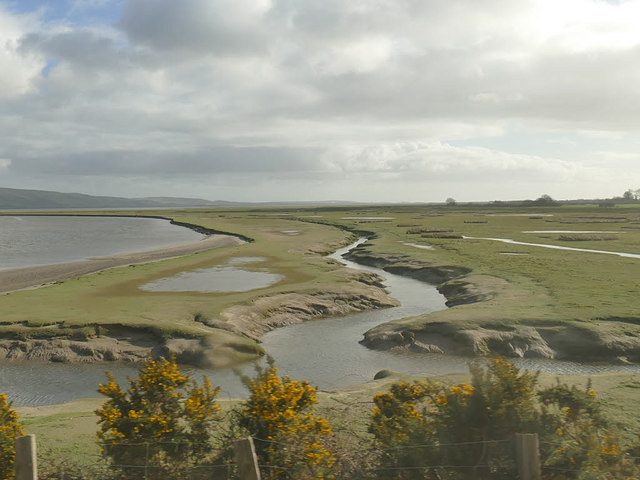
Rising proudly from the surrounding landscape, Foxfield Point offers breathtaking views of the Irish Sea and the picturesque coastline. It is positioned between the towns of Barrow-in-Furness to the south and Ulverston to the north, making it easily accessible for locals and visitors alike.
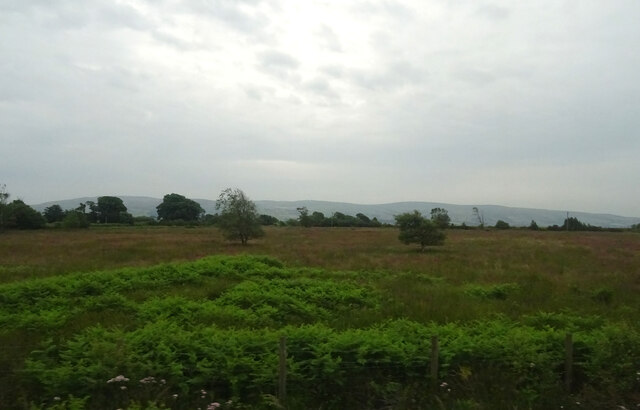
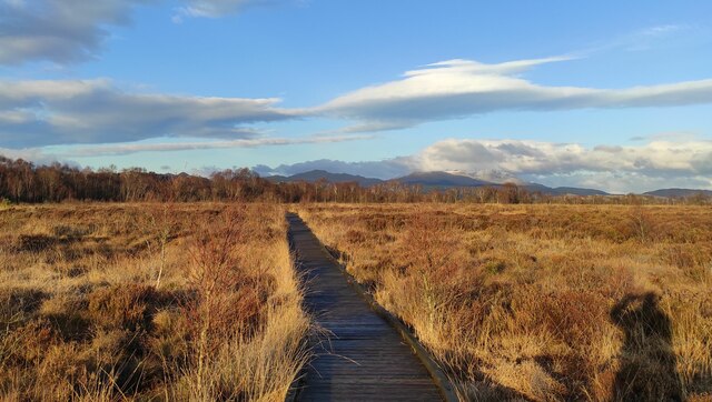
The headland is primarily composed of rocky cliffs that stretch out into the sea, creating a dramatic and rugged landscape. The cliffs are adorned with lush green vegetation, adding to the natural beauty of the area. At the point of the headland, there is a small sandy beach, providing a tranquil spot for beachgoers to relax and enjoy the stunning surroundings.
The wildlife at Foxfield Point is diverse and abundant, with various species of birds, marine animals, and plants calling the area home. It is a popular destination for birdwatchers, as the headland serves as a nesting site for numerous seabirds, including gulls and cormorants.
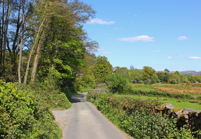
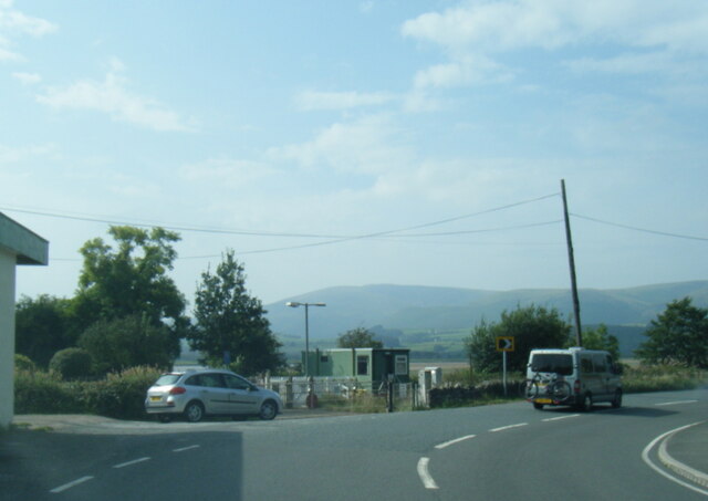
The coastal path that runs along Foxfield Point offers an excellent opportunity for hikers and nature enthusiasts to explore the area. The path provides stunning views of the rugged coastline and the vast expanse of the Irish Sea.
Overall, Foxfield Point is a captivating coastal feature that offers a combination of natural beauty, wildlife, and recreational opportunities, making it a must-visit location for those exploring Lancashire's coast.
If you have any feedback on the listing, please let us know in the comments section below.
Foxfield Point Images
Images are sourced within 2km of 54.259943/-3.2222399 or Grid Reference SD2085. Thanks to Geograph Open Source API. All images are credited.


Foxfield Point is located at Grid Ref: SD2085 (Lat: 54.259943, Lng: -3.2222399)
Administrative County: Cumbria
District: South Lakeland
Police Authority: Cumbria
What 3 Words
///musically.regulate.pouch. Near Millom, Cumbria
Nearby Locations
Related Wikis

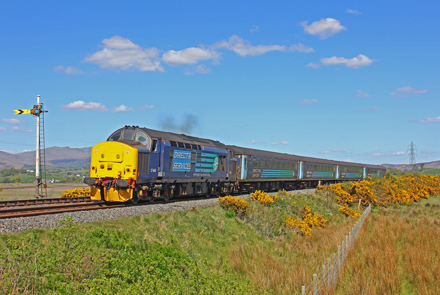
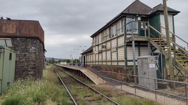
Foxfield railway station
Foxfield is a railway station on the Cumbrian Coast Line, which runs between Carlisle and Barrow-in-Furness. The station, situated 11+1⁄2 miles (19 km...

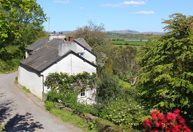
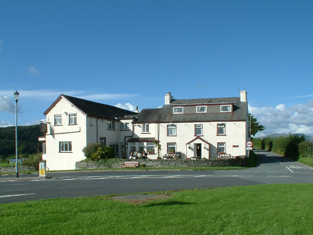
Foxfield, Cumbria
Foxfield is a village on the west coast of Cumbria, England, in the Furness district that was part of Lancashire from 1182 to 1974. It lies on the Duddon...

Eccle Riggs
Eccle Riggs is a country house located on Eccle Riggs, a ridge of land about 0.75 miles (1.2 km) to the south of Broughton-in-Furness, Cumbria, England...

St Mary Magdalene's Church, Broughton-in-Furness
St Mary Magdalene's Church is in Broughton-in-Furness, Cumbria, England. It is an active Anglican parish church in the deanery of Furness, the archdeaconry...
Nearby Amenities
Located within 500m of 54.259943,-3.2222399Have you been to Foxfield Point?
Leave your review of Foxfield Point below (or comments, questions and feedback).