Bowness Point
Coastal Feature, Headland, Point in Cumberland Copeland
England
Bowness Point
Bowness Point is a prominent headland and coastal feature located in the Cumberland region of England. Situated on the western coast, specifically in the county of Cumbria, Bowness Point juts out into the Irish Sea, offering stunning views and an important natural landmark.
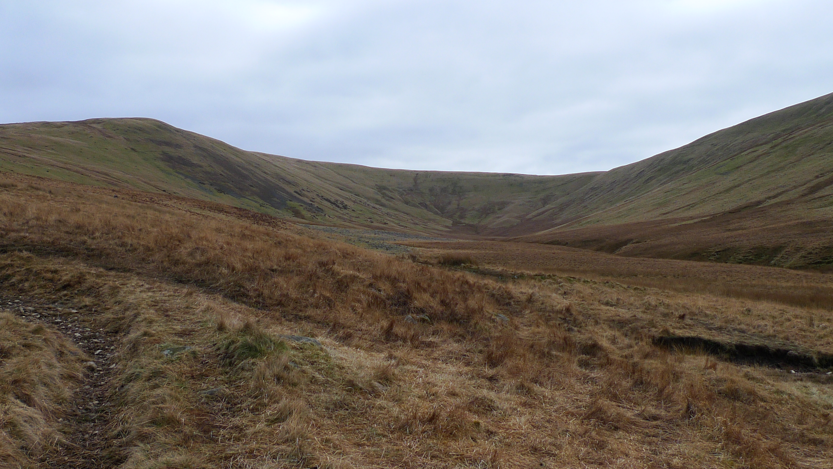
This headland is characterized by its rocky terrain and steep cliffs that drop down into the sea. The cliffs are composed of sedimentary rock formations, providing a glimpse into the geological history of the area. They are often jagged and weathered, giving the headland a rugged and dramatic appearance.
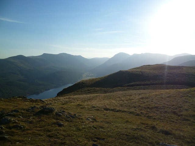
Bowness Point is a popular destination for outdoor enthusiasts, nature lovers, and photographers. The panoramic vistas from the point encompass the vast expanse of the Irish Sea and the picturesque coastline. Visitors can witness the powerful waves crashing against the cliffs, creating a mesmerizing sight and an opportunity for photographers to capture stunning images.
The headland also serves as a natural habitat for various bird species, making it a significant site for birdwatching. The surrounding waters are home to a diverse range of marine life, including seals, dolphins, and seabirds. Bowness Point is therefore an important location for wildlife enthusiasts and conservationists.
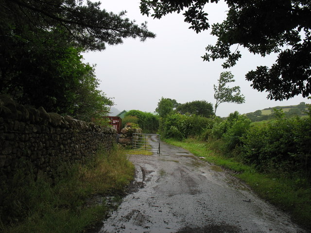
Access to Bowness Point is relatively easy, with nearby parking areas and walking trails that lead to the headland. Visitors can explore the area on foot, taking in the breathtaking views and immersing themselves in the natural beauty of the Cumberland coast.
In conclusion, Bowness Point is a captivating headland and coastal feature in Cumberland, England. With its dramatic cliffs, panoramic views, and abundant wildlife, it offers a truly memorable experience for those who visit.
If you have any feedback on the listing, please let us know in the comments section below.
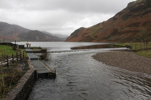
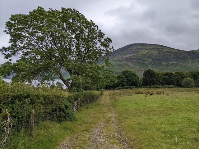
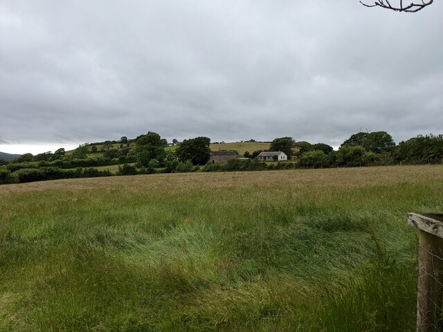
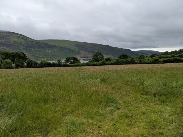
Bowness Point Images
Images are sourced within 2km of 54.525542/-3.3813884 or Grid Reference NY1015. Thanks to Geograph Open Source API. All images are credited.


Bowness Point is located at Grid Ref: NY1015 (Lat: 54.525542, Lng: -3.3813884)
Administrative County: Cumbria
District: Copeland
Police Authority: Cumbria
What 3 Words
///epic.disco.stint. Near Frizington, Cumbria
Nearby Locations
Related Wikis
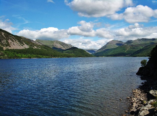
Ennerdale Water
Ennerdale Water is the most westerly lake in the Lake District National Park in Cumbria, England. It is a glacial lake, with a maximum depth of 150 feet...
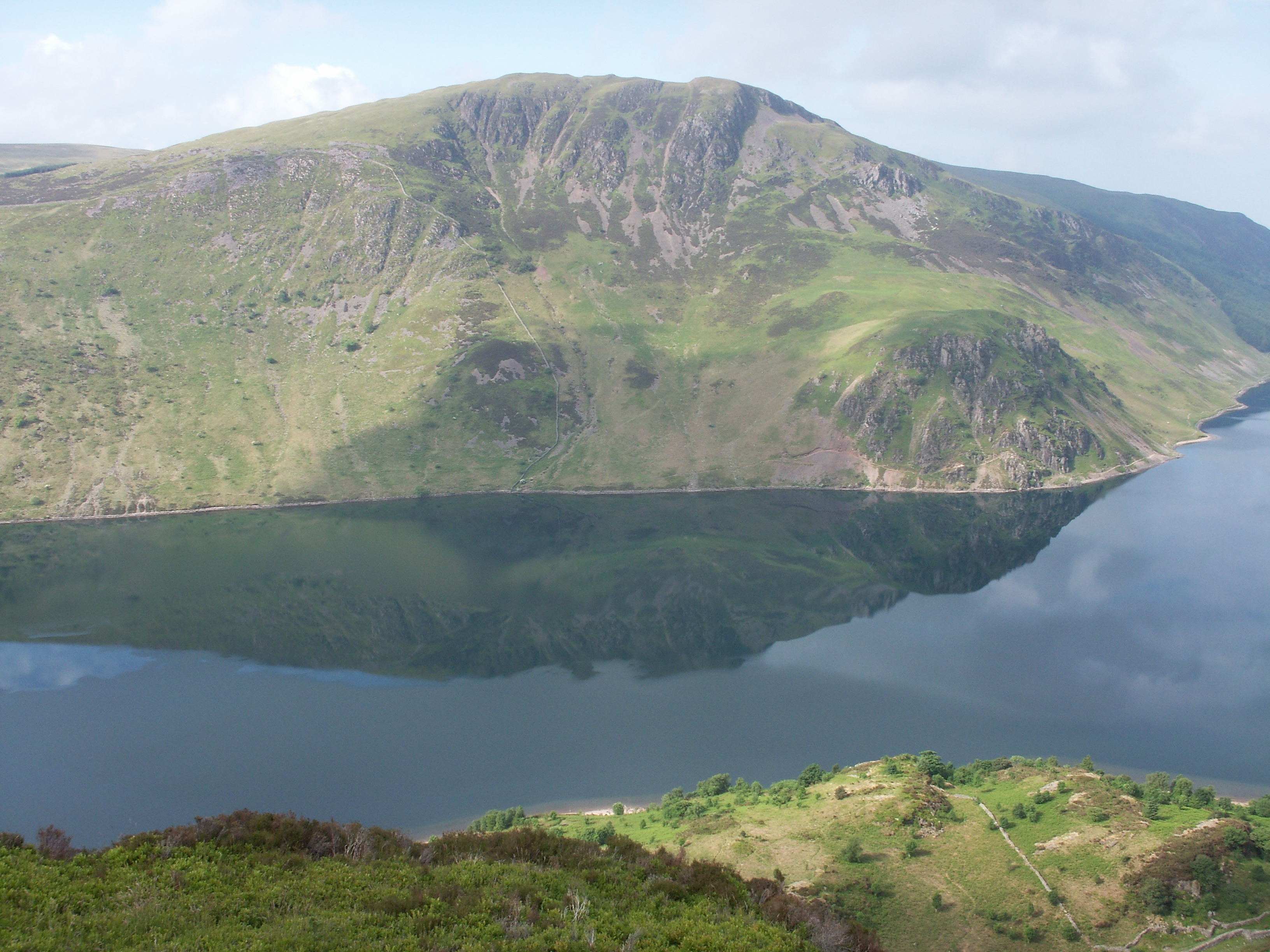
Crag Fell
Crag Fell is a hill in the English Lake District. It is part of the Lank Rigg group, standing above Ennerdale Water in the Western Fells. The craggy northern...

Great Borne
Great Borne is a fell in the English Lake District with a height of 616 m (2,021 ft). It is a rather secluded hill situated at the western end of the long...
Whoap
Whoap is a hill located near the western edge of the English Lake District, standing at 511 m. It is part of the Lank Rigg group and is separated from...
Nearby Amenities
Located within 500m of 54.525542,-3.3813884Have you been to Bowness Point?
Leave your review of Bowness Point below (or comments, questions and feedback).