Sròn na h-Iolaire
Landscape Feature in Perthshire
Scotland
Sròn na h-Iolaire

The requested URL returned error: 429 Too Many Requests
If you have any feedback on the listing, please let us know in the comments section below.
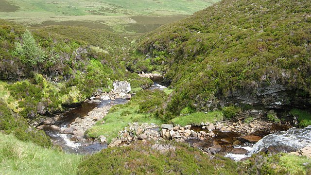
Sròn na h-Iolaire Images
Images are sourced within 2km of 56.533271/-4.0085084 or Grid Reference NN7639. Thanks to Geograph Open Source API. All images are credited.


Sròn na h-Iolaire is located at Grid Ref: NN7639 (Lat: 56.533271, Lng: -4.0085084)
Unitary Authority: Perth and Kinross
Police Authority: Tayside
What 3 Words
///soonest.grid.luxury. Near Aberfeldy, Perth & Kinross
Nearby Locations
Related Wikis

Creagan na Beinne
Creagan na Beinne is a hill in the Scottish Highlands lying to the south-east of Loch Tay in the group of rolling hills and moors whose highest point in...
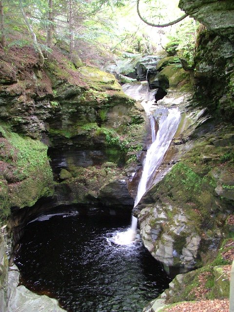
Falls of Acharn
Falls of Acharn is a waterfall of Scotland. == See also == Acharn Waterfalls of Scotland == References ==

Perthshire
Perthshire (locally: ; Scottish Gaelic: Siorrachd Pheairt), officially the County of Perth, is a historic county and registration county in central Scotland...

Stirling (council area)
The Stirling council area (Scots: Stirlin; Scottish Gaelic: Sruighlea) is one of the 32 council areas of Scotland, and has a population of about 93,470...
Nearby Amenities
Located within 500m of 56.533271,-4.0085084Have you been to Sròn na h-Iolaire?
Leave your review of Sròn na h-Iolaire below (or comments, questions and feedback).