Ardjachie Point
Coastal Feature, Headland, Point in Ross-shire
Scotland
Ardjachie Point

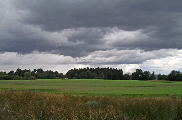
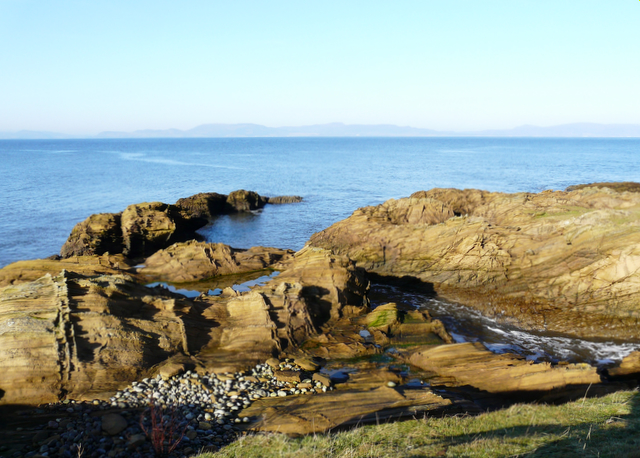
Ardjachie Point is a prominent coastal feature located in Ross-shire, Scotland. It is a headland that extends out into the North Sea, forming a distinct point along the rugged coastline. The point is situated on the eastern coast of Scotland, approximately 15 miles northeast of the town of Tain.
The topography of Ardjachie Point is characterized by steep cliffs that rise dramatically from the sea, providing a stunning panoramic view of the surrounding area. The point itself is composed of rocky outcrops, with a mixture of sedimentary and igneous rocks. These rocks have been shaped over centuries by the relentless power of the sea, resulting in a unique and picturesque landscape.
Ardjachie Point is geologically significant, as it is part of the Highland Boundary Fault, a major geological fault line that separates the Highlands from the Lowlands of Scotland. This fault line has played a crucial role in shaping the landscape of the region and has contributed to the formation of the rugged cliffs and rocky formations found at Ardjachie Point.
The coastal area surrounding Ardjachie Point is rich in biodiversity, with a variety of plant and animal species inhabiting the region. Seabirds, such as gulls and fulmars, can often be seen nesting on the cliffs, while marine mammals like seals and dolphins are occasionally spotted swimming in the waters below.
Due to its scenic beauty and geological significance, Ardjachie Point is a popular destination for nature enthusiasts and photographers. Visitors can enjoy breathtaking views of the North Sea, explore the rocky shoreline, and take in the tranquility of this remote coastal location.
If you have any feedback on the listing, please let us know in the comments section below.
Ardjachie Point Images
Images are sourced within 2km of 57.836393/-4.1004153 or Grid Reference NH7584. Thanks to Geograph Open Source API. All images are credited.


Ardjachie Point is located at Grid Ref: NH7584 (Lat: 57.836393, Lng: -4.1004153)
Unitary Authority: Highland
Police Authority: Highlands and Islands
What 3 Words
///norms.attend.cake. Near Tain, Highland
Nearby Locations
Related Wikis

Ardjachie Stone
The Ardjachie Stone is an uncut but decorated red sandstone boulder discovered by farmers in 1960 on the Ardjachie Farm in the Tarbat peninsula of Easter...
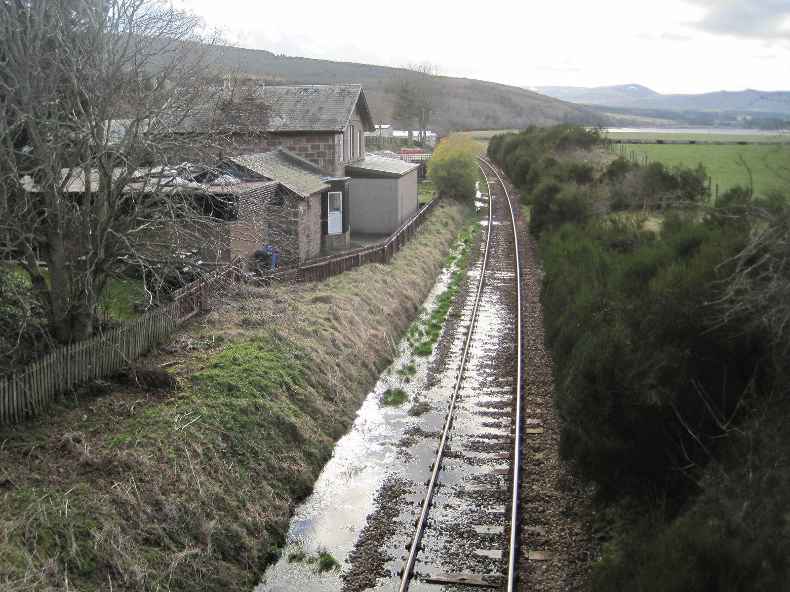
Meikle Ferry railway station
Meikle Ferry railway station served the town of Dornoch, Sutherland, Scotland from 1864 to 1869 on the Inverness and Ross-shire Railway. == History... ==

Dornoch Firth Bridge
The Dornoch Firth Bridge is a road bridge over the Dornoch Firth, carrying traffic between Tain and Dornoch. == History == It was built for the Scottish...

Glenmorangie distillery
Glenmorangie distillery (pronounced with the stress on the second syllable: ; the toponym is believed to derive from either Gaelic Gleann Mòr na Sìth...
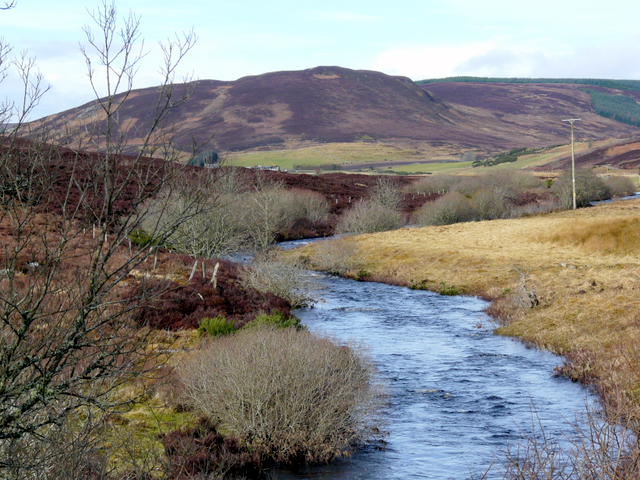
River Evelix
The River Evelix (Scottish Gaelic: Èibhleag) is a river in Sutherland, Scotland. It draws water from some 30 square miles (78 km2) of rugged moorland...

Meikle Ferry disaster
The Meikle Ferry took passengers across the tidal Dornoch Firth in North Scotland. On 16 August 1809, in clear weather conditions, the overloaded ferry...
Dornoch Firth
The Dornoch Firth (Scottish Gaelic: Caolas Dhòrnaich, pronounced [ˈkɯːl̪ˠəs̪ ˈɣɔːrˠn̪ˠɪç]) is a firth on the east coast of Highland, in northern Scotland...
St Duthus F.C.
St. Duthus Football Club (also referred to as Tain St. Duthus Football Club) is a senior Scottish football club playing in the North Caledonian Football...
Nearby Amenities
Located within 500m of 57.836393,-4.1004153Have you been to Ardjachie Point?
Leave your review of Ardjachie Point below (or comments, questions and feedback).