Sròn Mhór Mhic Laurainn

Landscape Feature in Perthshire

Scotland

Sròn Mhór Mhic Laurainn

Minor road on the south shore of Loch Earn near Ardtrostan Looking north-eastward.
Minor road on the south shore of Loch Earn near Ardtrostan Credit: Peter Wood

Sròn Mhór Mhic Laurainn, located in Perthshire, Scotland, is a prominent landscape feature known for its stunning natural beauty. Also known as MacLaren's Big Nose, it is a large and distinctive hill that dominates the surrounding area.

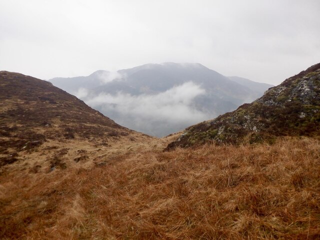
With an elevation of approximately 580 meters (1,900 feet), Sròn Mhór Mhic Laurainn offers breathtaking panoramic views of the surrounding countryside. It is situated in the southern part of the Grampian Mountains, near the villages of Killin and Kenmore.

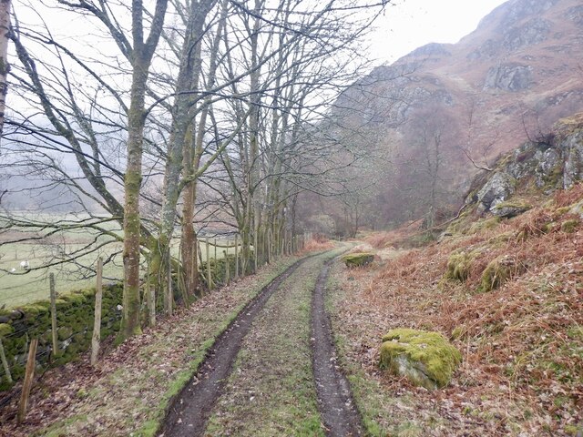
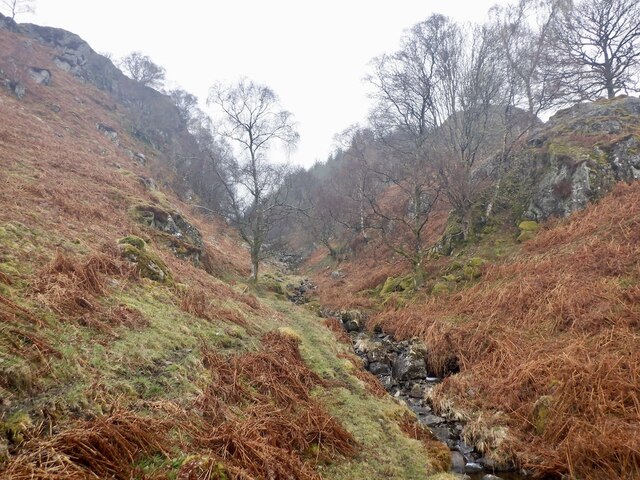
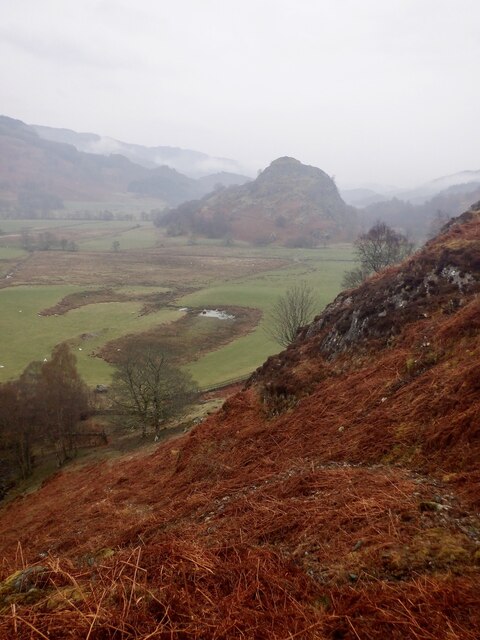
The hill is characterized by its steep slopes and rugged terrain, which makes it a challenging yet rewarding destination for hikers and climbers. Its distinct shape, resembling a nose, gives it its unique name. The hill is covered in heather and grass, offering a picturesque landscape that changes color with the seasons.

The summit of Sròn Mhór Mhic Laurainn offers breathtaking views of Loch Tay, one of Scotland's largest and most scenic freshwater lochs. On a clear day, it is also possible to see the surrounding mountains, including Ben Lawers, Scotland's tenth highest mountain.

The area surrounding Sròn Mhór Mhic Laurainn is rich in wildlife, with a variety of bird species, including golden eagles and peregrine falcons, known to frequent the area. It is also home to red deer and other mammals, providing an opportunity for nature enthusiasts to observe and appreciate Scotland's diverse fauna.

Overall, Sròn Mhór Mhic Laurainn is a captivating landscape feature that offers visitors an opportunity to immerse themselves in Scotland's natural beauty and experience its rugged charm.

If you have any feedback on the listing, please let us know in the comments section below.

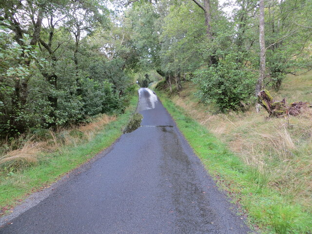
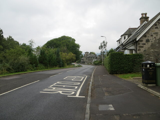
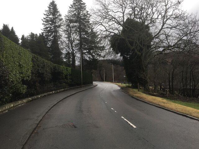
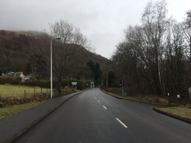
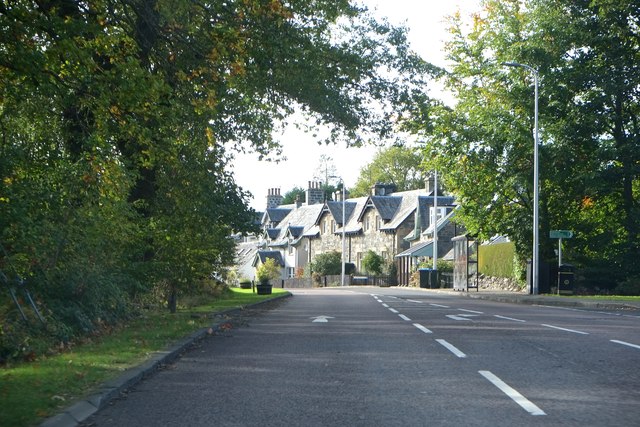
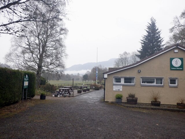
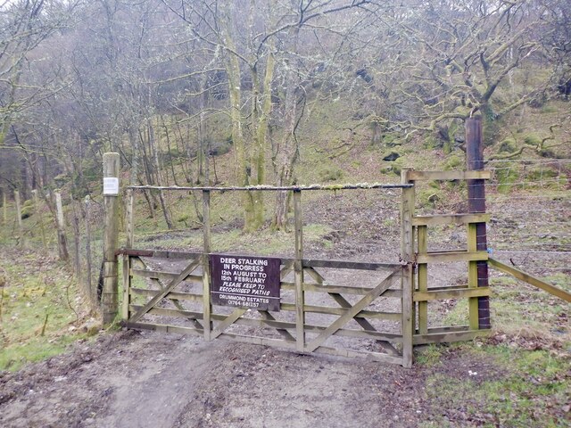
Sròn Mhór Mhic Laurainn Images

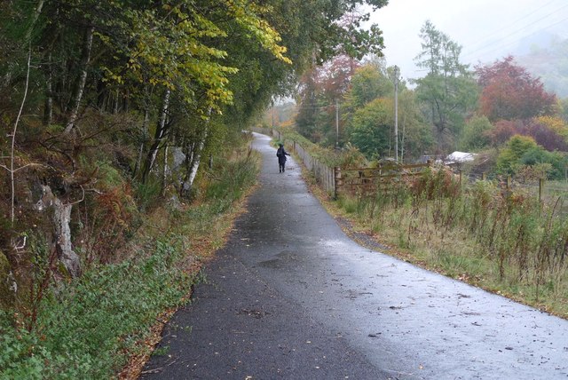
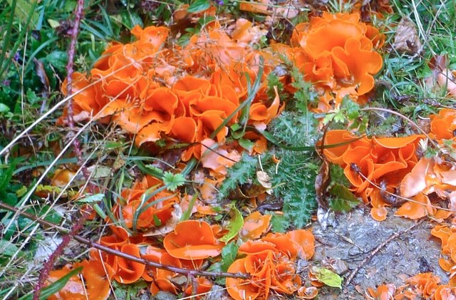
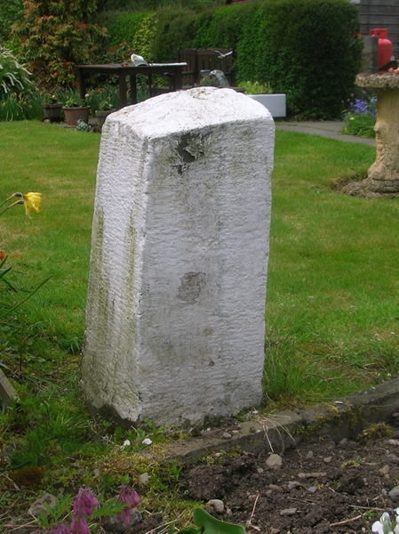
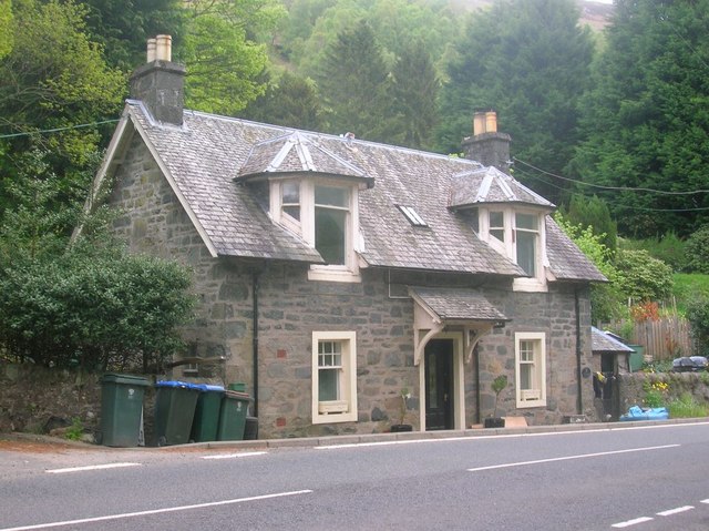
Images are sourced within 2km of 56.383141/-4.124302 or Grid Reference NN6823. Thanks to Geograph Open Source API. All images are credited.

Minor road on the south shore of Loch Earn near Ardtrostan Looking north-eastward.
Minor road on the south shore of Loch Earn near Ardtrostan
Looking north-eastward.
Road (A85), St Fillans Looking north-westward.
Road (A85), St Fillans
Looking north-westward.
Ordnance Survey Flush Bracket S8078 This bracket can be found on the roadside (A85) wall of a building in St Fillans.
The recorded details give a height of 102.299 metres above seal level.
For more detail see : <span class="nowrap"><a title="https://www.bench-marks.org.uk/bm21159" rel="nofollow ugc noopener" href="https://www.bench-marks.org.uk/bm21159">Link</a><img style="margin-left:2px;" alt="External link" title="External link - shift click to open in new window" src="https://s1.geograph.org.uk/img/external.png" width="10" height="10"/></span>
Ordnance Survey Flush Bracket S8078
This bracket can be found on the roadside (A85) wall of a building in St Fillans. The recorded details give a height of 102.299 metres above seal level. For more detail see : LinkExternal link
A85 in St Fillans
A85 in St Fillans
A85 near St Fillans
A85 near St Fillans
Agricultural Anderson Shelter Little Port Farm, St Fillans
Agricultural Anderson Shelter
Little Port Farm, St Fillans
Approaching St Fillans On the A85 from Comrie
Approaching St Fillans
On the A85 from Comrie
Bridge over the Frank Burn St Fillans railway path
Bridge over the Frank Burn
St Fillans railway path
On the Railway Path Towards Dalchonzie
On the Railway Path
Towards Dalchonzie
Orange Peel Fungus Alongside the St Fillans railway path
Orange Peel Fungus
Alongside the St Fillans railway path
Old Milestone in Riversdale garden, east of St Fillans, Comrie Parish By the garden, in parish of Comrie (District), UC road South of River Earn and St Fillans, in garden of Riversdale. Apparently relocated from the A85.

Inscription once read:- : (Lochearnhead / 7½ / Comrie / 5½) :
 
Surveyed

Milestone Society National ID: PK_CFLH15
Old Milestone in Riversdale garden, east of St Fillans, Comrie Parish
By the garden, in parish of Comrie (District), UC road South of River Earn and St Fillans, in garden of Riversdale. Apparently relocated from the A85. Inscription once read:- : (Lochearnhead / 7½ / Comrie / 5½) : Surveyed Milestone Society National ID: PK_CFLH15
Former Toll house by the A85, St Fillans Dundurn Bridge Toll House (St Fillans) by the A85, in parish of St Fillans (Perth and Kinross District), Tollgate, St Fillans, Crieff, opposite Dundurn Bridge, PH6 2NQ.

Surveyed

Milestone Society National ID: PK.STF
Former Toll house by the A85, St Fillans
Dundurn Bridge Toll House (St Fillans) by the A85, in parish of St Fillans (Perth and Kinross District), Tollgate, St Fillans, Crieff, opposite Dundurn Bridge, PH6 2NQ. Surveyed Milestone Society National ID: PK.STF
St Fillans Golf Club clubhouse
Gate, Dundurn One of the ways into the rather defended woodland around Cnoc a' Mhadaidh. Still hard work over the "stile" on the right.  The sign is an anachronism and should have been replaced many years ago.
Gate, Dundurn
One of the ways into the rather defended woodland around Cnoc a' Mhadaidh. Still hard work over the "stile" on the right. The sign is an anachronism and should have been replaced many years ago.
Track, Dundurn
Track, Dundurn
Misfit stream A small burn running through a steep sided defile north of Cnoc a' Mhadaidh.
Misfit stream
A small burn running through a steep sided defile north of Cnoc a' Mhadaidh.
View towards Dundurn At the foot of the steep ridge up Am Bioran.
View towards Dundurn
At the foot of the steep ridge up Am Bioran.
Notch, Am Bioran A chance to catch breath on a very steep ascent.
Notch, Am Bioran
A chance to catch breath on a very steep ascent.
Show me another place!

Sròn Mhór Mhic Laurainn is located at Grid Ref: NN6823 (Lat: 56.383141, Lng: -4.124302)

Unitary Authority: Perth and Kinross

Police Authority: Tayside

What 3 Words

///bounded.angle.artichoke. Near Comrie, Perth & Kinross

Related Wikis

Neish Island

Neish Island is an island in Loch Earn, Scotland. == History == It is recorded that in 1490 James IV of Scotland ordered Lord Drummond to cast down the...

St Fillans

St Fillans is a village in Perthshire in the central highlands of Scotland, in the council area of Perth and Kinross. The village lies at the eastern end...

St Fillans railway station

St Fillans railway station served the village of St Fillans, in the historical county of Perthshire, Scotland, from 1901 to 1951 on the Lochearnhead, St...

Dundurn, Scotland

Dundurn is the site of a Pictish hillfort in what is now Strathearn in Perth and Kinross, Scotland. The fort was situated on a hill with the River Earn...

Have you been to Sròn Mhór Mhic Laurainn?

Leave your review of Sròn Mhór Mhic Laurainn below (or comments, questions and feedback).