Sròn na Crìche
Landscape Feature in Perthshire
Scotland
Sròn na Crìche
The requested URL returned error: 429 Too Many Requests
If you have any feedback on the listing, please let us know in the comments section below.
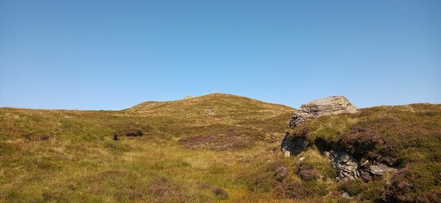
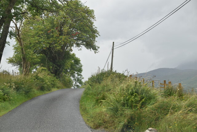
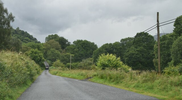
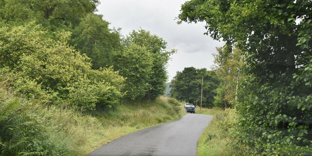
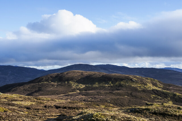
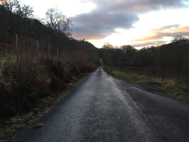
Sròn na Crìche Images
Images are sourced within 2km of 56.472448/-4.202159 or Grid Reference NN6433. Thanks to Geograph Open Source API. All images are credited.


Sròn na Crìche is located at Grid Ref: NN6433 (Lat: 56.472448, Lng: -4.202159)
Unitary Authority: Stirling
Police Authority: Forth Valley
What 3 Words
///energy.caravans.roofed. Near Comrie, Perth & Kinross
Nearby Locations
Related Wikis

Ardeonaig
Ardeonaig (Gaelic: Aird Eòdhanaig) is a hamlet on the southern shore of Loch Tay in the Stirling Council area of Scotland. It is approximately 7 miles...

Rob Roy Way
The Rob Roy Way is a Scottish long distance footpath that runs from Drymen in Stirling to Pitlochry in Perth and Kinross. The path was created in 2002...

Loch Tay
Loch Tay (Scottish Gaelic: Loch Tatha) is a freshwater loch in the central highlands of Scotland, in the Perth and Kinross and Stirling council areas....
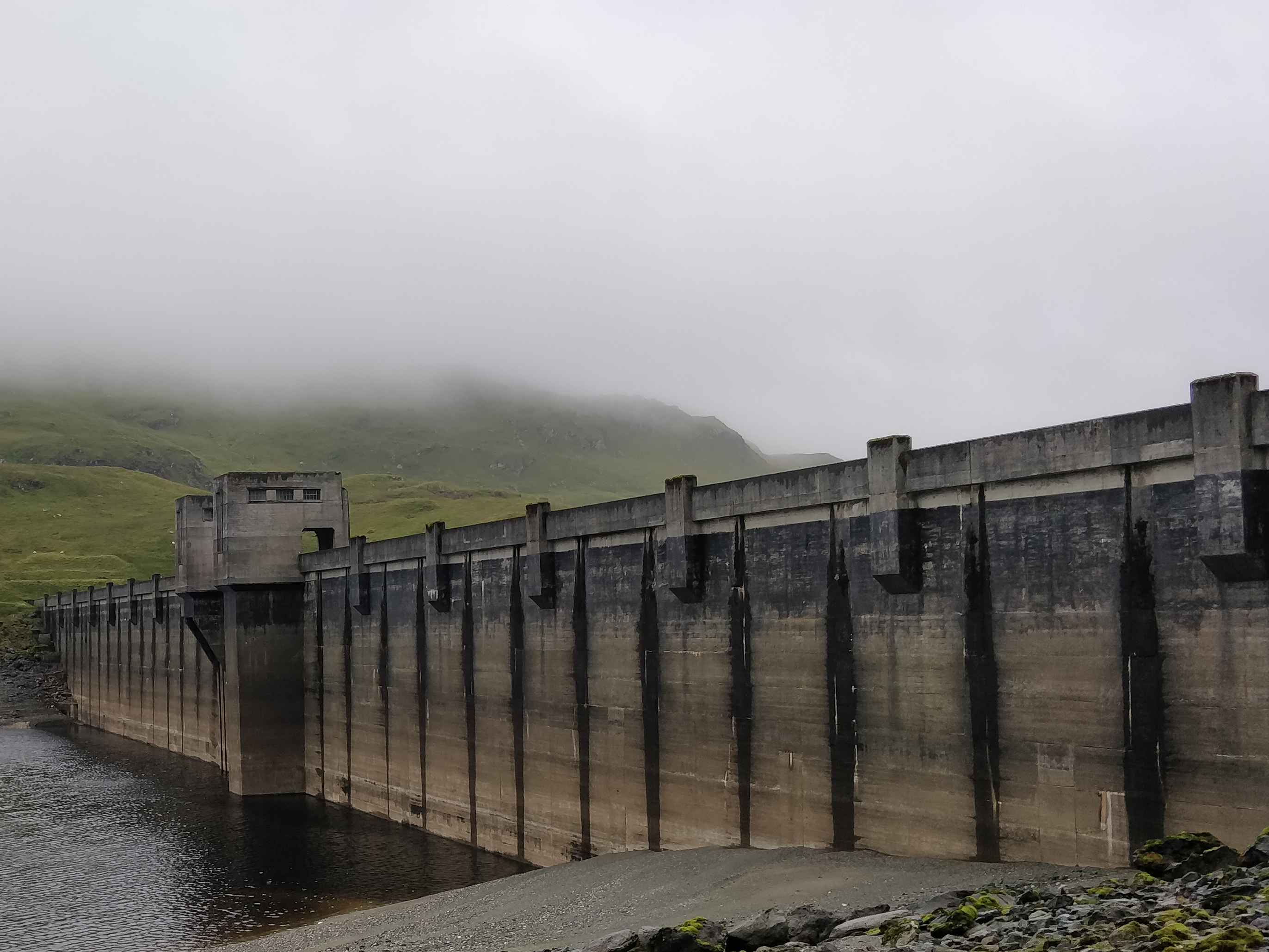
Breadalbane Hydro-Electric Scheme
The Breadalbane Hydro-Electric Scheme is a hydroelectric scheme in the Breadalbane area of Perthshire, Scotland. It comprises seven power stations which...
Have you been to Sròn na Crìche?
Leave your review of Sròn na Crìche below (or comments, questions and feedback).