Sròn Beag na h-Uamhaidh
Landscape Feature in Inverness-shire
Scotland
Sròn Beag na h-Uamhaidh

The requested URL returned error: 429 Too Many Requests
If you have any feedback on the listing, please let us know in the comments section below.
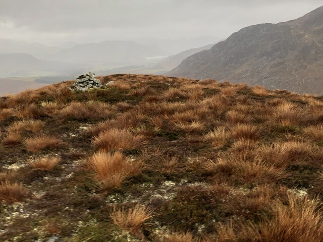
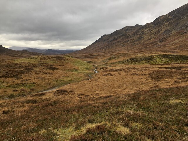
Sròn Beag na h-Uamhaidh Images
Images are sourced within 2km of 57.053159/-4.2404757 or Grid Reference NN6498. Thanks to Geograph Open Source API. All images are credited.


Sròn Beag na h-Uamhaidh is located at Grid Ref: NN6498 (Lat: 57.053159, Lng: -4.2404757)
Unitary Authority: Highland
Police Authority: Highlands and Islands
What 3 Words
///spiking.everybody.beans. Near Newtonmore, Highland
Nearby Locations
Related Wikis

Creag Dhubh (Newtonmore)
Creag Dhubh (756 m) is a mountain in the Grampian Mountains of Scotland. It is located in the Strathspey area of the central Highlands, above the village...

Càrn Dearg, Monadh Liath
Càrn Dearg is the highest peak of the Monadh Liath mountains in the Highlands of Scotland. Its eastern flanks slope steeply down into Glen Ballach, while...

Laggan, Badenoch
Laggan (Gaelic: Lagan ) is a village in Badenoch, in the Highland region of Scotland. It is beside the River Spey, about 10 km west of Newtonmore. The...

Catlodge
Catlodge (Scottish Gaelic: Caitleag) is a hamlet, in the district of Newtonmore in Inverness-shire, Scottish Highlands and is in the Scottish council...
Nearby Amenities
Located within 500m of 57.053159,-4.2404757Have you been to Sròn Beag na h-Uamhaidh?
Leave your review of Sròn Beag na h-Uamhaidh below (or comments, questions and feedback).