Penhill Point

Coastal Feature, Headland, Point in Devon North Devon

England

Penhill Point

Tarka Trail and Royal Marines' Base Walkers on the trail pass the water tower on the other side of the perimeter fence.
Tarka Trail and Royal Marines' Base Credit: Rabbi WP Thinrod

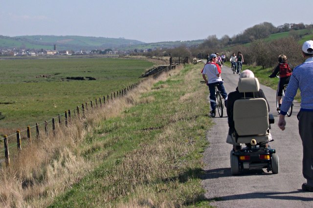
Penhill Point is a prominent headland located in Devon, England. Situated on the southwest coast, it is a well-known coastal feature that attracts visitors from near and far. With its stunning natural beauty and rich history, Penhill Point offers a captivating experience for all who visit.

Rising majestically from the sea, Penhill Point boasts towering cliffs that provide breathtaking views of the surrounding coastline. Its sheer height and rugged terrain make it a popular spot for hikers and nature enthusiasts seeking an adrenaline-filled adventure. The headland is also home to a diverse range of flora and fauna, including rare plants and nesting seabirds, adding to its ecological significance.

In addition to its natural wonders, Penhill Point is steeped in history. It is believed to have played a significant role in maritime trade and defense, with remnants of ancient fortifications and structures still visible today. The headland's strategic position made it an ideal vantage point for spotting potential threats and guiding ships along the coast.

Visitors to Penhill Point can explore the area by following well-maintained trails that meander through the cliff tops, offering panoramic vistas of the sea and surrounding landscapes. The headland also offers opportunities for rock climbing and birdwatching, making it a haven for outdoor enthusiasts.

Overall, Penhill Point is a captivating coastal feature that combines natural beauty with historical significance. It is a must-visit destination for those seeking a memorable experience in the scenic county of Devon.

If you have any feedback on the listing, please let us know in the comments section below.

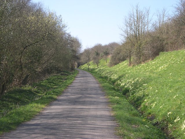
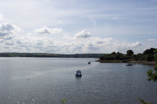
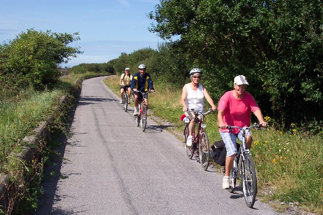
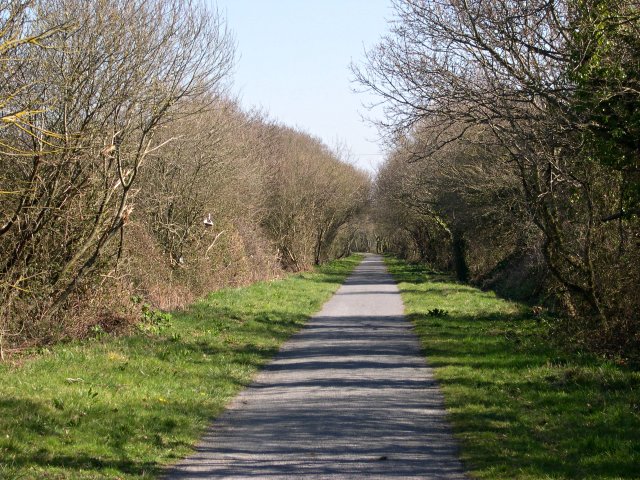
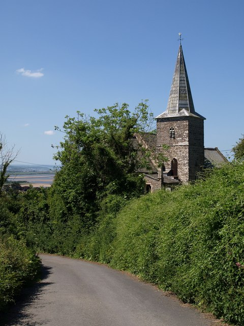
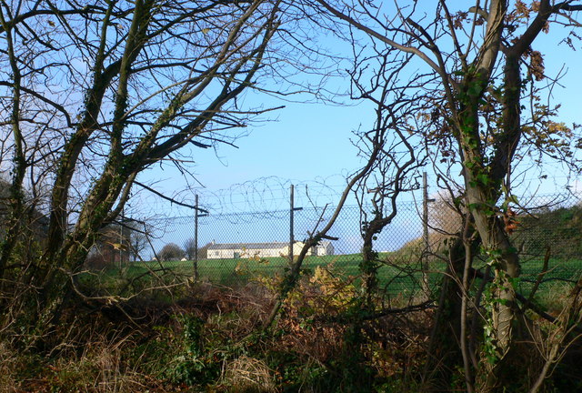
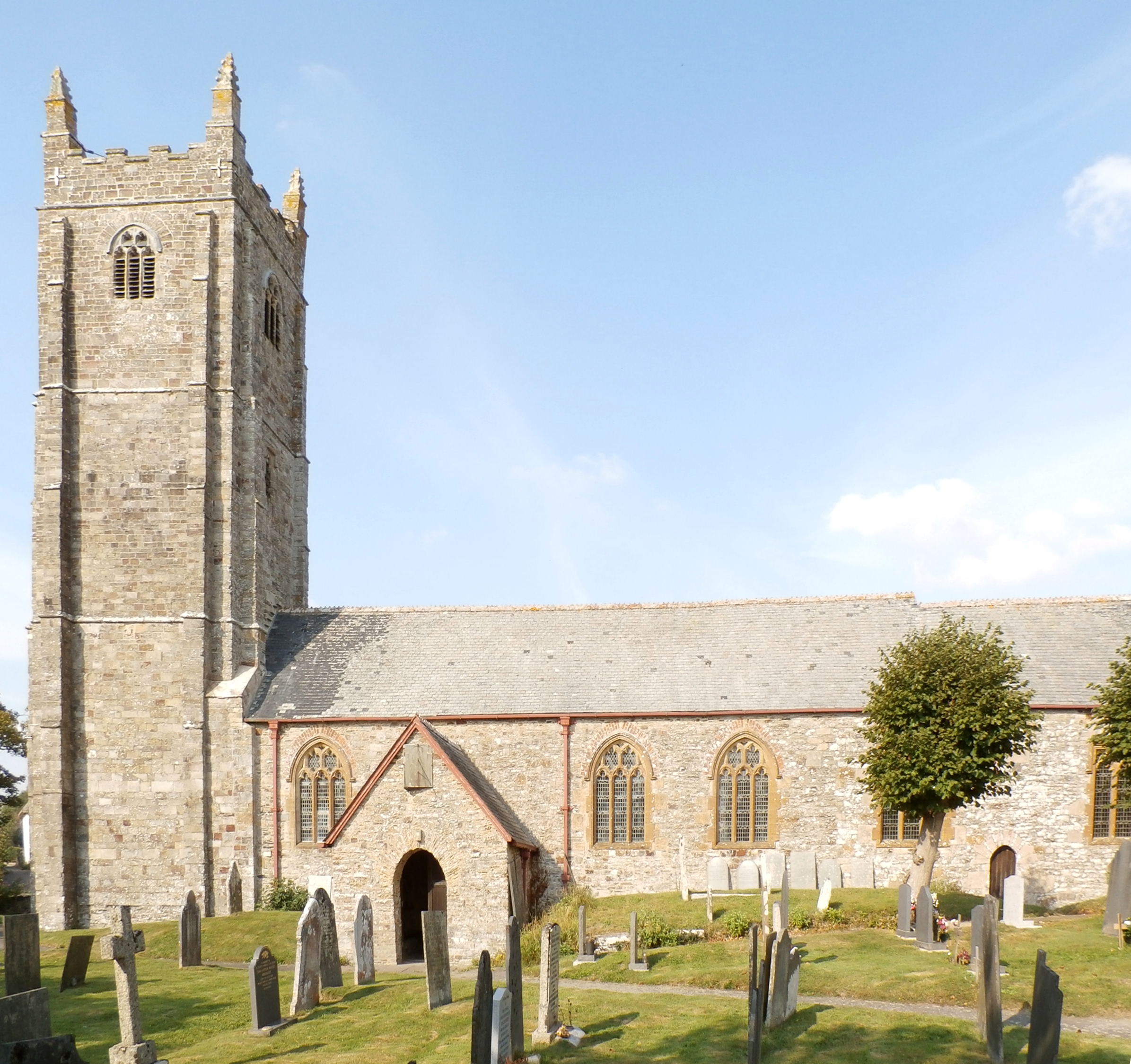
Penhill Point Images

Images are sourced within 2km of 51.089525/-4.1179743 or Grid Reference SS5134. Thanks to Geograph Open Source API. All images are credited.

Tarka Trail and Royal Marines' Base Walkers on the trail pass the water tower on the other side of the perimeter fence.
Tarka Trail and Royal Marines' Base
Walkers on the trail pass the water tower on the other side of the perimeter fence.
Water tower at RAF Chivenor The Tarka Trail and water tower at RAF Chivenor.
Water tower at RAF Chivenor
The Tarka Trail and water tower at RAF Chivenor.
Tarka Trail Tarka Trail by Chivenor base water tower
Tarka Trail
Tarka Trail by Chivenor base water tower
Entrance to RAF Chivenor Almost all of this square is taken up by the RAF station.  The Coast Path runs along the northern edge.
Entrance to RAF Chivenor
Almost all of this square is taken up by the RAF station. The Coast Path runs along the northern edge.
Cutting on dismantled railway at Penhill The old railway line along the edge of the Taw estuary now carries the South West Coast Path and the Tarka Trail.  It is also very popular as a cycle path.
Cutting on dismantled railway at Penhill
The old railway line along the edge of the Taw estuary now carries the South West Coast Path and the Tarka Trail. It is also very popular as a cycle path.
Fremington Quay This cafe and visitor's centre is a popular stop for cyclists.  It has been built on the site of the old railway station.
Fremington Quay
This cafe and visitor's centre is a popular stop for cyclists. It has been built on the site of the old railway station.
Shelter on Tarka Trail between Fremington and Barnstaple This intriguing shelter has been defaced by spray-can artists.
Shelter on Tarka Trail between Fremington and Barnstaple
This intriguing shelter has been defaced by spray-can artists.
Anchored on the Taw The River Taw, taken from the Tarka Trail cycle path near Heanton Court.
Anchored on the Taw
The River Taw, taken from the Tarka Trail cycle path near Heanton Court.
Tarka Trail cycle path near Barnstaple The Tarka Trail cycle path looking towards Barnstaple from near Strand House. The cycle path uses the course of the old Ilfracombe to Barnstaple railway, which here also forms the sea wall.
Tarka Trail cycle path near Barnstaple
The Tarka Trail cycle path looking towards Barnstaple from near Strand House. The cycle path uses the course of the old Ilfracombe to Barnstaple railway, which here also forms the sea wall.
Cyclists on the Tarka Trail This photograph is a bit of a cheat. I wanted a picture of a big group of cyclists but the lady in the front came along well ahead of her friends. So I took two pictures and assembled them together. Unfortunately my cut and paste missed part of the shadow of the front bike wheel!
Cyclists on the Tarka Trail
This photograph is a bit of a cheat. I wanted a picture of a big group of cyclists but the lady in the front came along well ahead of her friends. So I took two pictures and assembled them together. Unfortunately my cut and paste missed part of the shadow of the front bike wheel!
Fremington Station on the Tarka Trail Two miles from Barnstaple the Tarka Trail comes to Fremington, which has seen a massive transformation in recent years. Once Devon's second busiest port – much of the china clay produced further south was shipped out through here – Fremington had become almost derelict, with an abandoned cottage the only building in sight. Now there is a visitor centre with a café and cycle hire base, and a replica (the original actually stood on the opposite platform) of the tall signalbox has been built; its height was intended to give the signalman a good view over the quayside sidings.
Fremington Station on the Tarka Trail
Two miles from Barnstaple the Tarka Trail comes to Fremington, which has seen a massive transformation in recent years. Once Devon's second busiest port – much of the china clay produced further south was shipped out through here – Fremington had become almost derelict, with an abandoned cottage the only building in sight. Now there is a visitor centre with a café and cycle hire base, and a replica (the original actually stood on the opposite platform) of the tall signalbox has been built; its height was intended to give the signalman a good view over the quayside sidings.
The River Taw from Fremington Looking out over the River Taw from Fremington towards RAF Chivenor (left of picture) on the far bank.
The River Taw from Fremington
Looking out over the River Taw from Fremington towards RAF Chivenor (left of picture) on the far bank.
The old quay at Fremington Now a Visitor Centre, this used to be a busy working quay, part of the railway station, importing coal for the area later distributed by rail
The old quay at Fremington
Now a Visitor Centre, this used to be a busy working quay, part of the railway station, importing coal for the area later distributed by rail
Freminton Pill, Fremington, N.Devon.
Cycle Path past RAF Chivenor This path is a part of both the South West Coast Path and the Tarka Trail.  It is built on the course of an old railway line.
Cycle Path past RAF Chivenor
This path is a part of both the South West Coast Path and the Tarka Trail. It is built on the course of an old railway line.
A Path for Everybody For most of its length around the Taw estuary, the path which constitutes part of the Southwest Coast Path and the Tarka Trail is built along disused railway lines and surfaced as a cycle track making it suitable for anyone to use.
A Path for Everybody
For most of its length around the Taw estuary, the path which constitutes part of the Southwest Coast Path and the Tarka Trail is built along disused railway lines and surfaced as a cycle track making it suitable for anyone to use.
Fremington Quay from the old Railway Bridge
Fremington Pil at Low Tide This tidal creek is seen from the old railway bridge at its mouth.  The bridge now carries a cycle path.
Fremington Pil at Low Tide
This tidal creek is seen from the old railway bridge at its mouth. The bridge now carries a cycle path.
Show me another place!

Penhill Point is located at Grid Ref: SS5134 (Lat: 51.089525, Lng: -4.1179743)

Administrative County: Devon

District: North Devon

Police Authority: Devon and Cornwall

What 3 Words

///amplifier.motorist.ombudsman. Near Fremington, Devon

Related Wikis

Fremington railway station

Fremington railway station served the village of Fremington, Devon, England, from 1855 to 1965 on the Bideford Extension Railway. Located at Fremington...

Ashford, North Devon

Ashford is a village and civil parish in the North Devon district of Devon, England. According to the 2011 census it had a population of 267.This Ashford...

Fremington Army Camp

Fremington Army Camp was a military camp in the village of Fremington, Devon, England, which was used as a base to train the United States Army Air Corps...

Heanton Punchardon

Heanton Punchardon ( ) is a village, civil parish and former manor, anciently part of Braunton Hundred. It is situated directly east-southeast of the village...

Nearby Amenities

Located within 500m of 51.089525,-4.1179743
Source: Landsat photo
Lat/Long: 51.0884169/-4.1112944
Source: Landsat photo
Lat/Long: 51.0889022/-4.1119596
Source: Landsat photo
Lat/Long: 51.0891178/-4.1130754
Source: Landsat photo
Lat/Long: 51.0894143/-4.1156932
Source: Landsat photo
Lat/Long: 51.0893874/-4.1165516
Source: Landsat photo
Lat/Long: 51.0895086/-4.117216
Source: Landsat photo
Lat/Long: 51.0898317/-4.1177961
Source: Landsat photo
Lat/Long: 51.0894117/-4.1183289
Source: Landsat photo
Lat/Long: 51.0889602/-4.118522
Source: Landsat photo
Lat/Long: 51.0876529/-4.1187795
Source: Landsat photo
Lat/Long: 51.0870556/-4.1187617
Source: Landsat photo
Lat/Long: 51.0860987/-4.1184613
Source: Landsat photo
Lat/Long: 51.0855056/-4.1182467
Penhill Point
Natural: headland
Place: locality
Source: OS OpenData StreetView
Lat/Long: 51.0892096/-4.1177174
Foxhole
Place: locality
Source: OS OpenData StreetView
Lat/Long: 51.0934574/-4.1210577
Fremington Reach
Place: locality
Lat/Long: 51.0903713/-4.1193827
Super Dad
Historic: memorial
Lat/Long: 51.0897927/-4.117802
Power: pole
Lat/Long: 51.0852229/-4.1169199
Power: pole
Lat/Long: 51.0861984/-4.1172016
Power: pole
Lat/Long: 51.0864713/-4.1144657
Power: pole
Lat/Long: 51.0870661/-4.1174684
Location Transition: yes
Power: pole
Lat/Long: 51.0891948/-4.1181135
Power: pole
Lat/Long: 51.0873061/-4.1155158
Power: pole
Lat/Long: 51.0882302/-4.1166638
Location Transition: yes
Power: pole
Lat/Long: 51.0892251/-4.117915
The data included in this document is from www.openstreetmap.org. The data is made available under ODbL.

Have you been to Penhill Point?

Leave your review of Penhill Point below (or comments, questions and feedback).