Greenock West
Settlement in Renfrewshire
Scotland
Greenock West
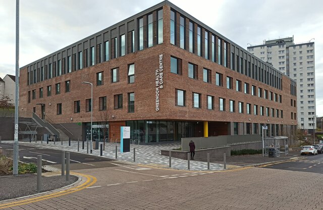
Greenock West is a small town located in Renfrewshire, Scotland. Situated on the banks of the River Clyde, it is approximately 23 miles west of Glasgow. With a population of around 4,000 people, it is a close-knit community with a strong sense of local pride.
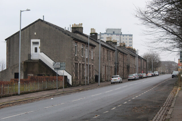
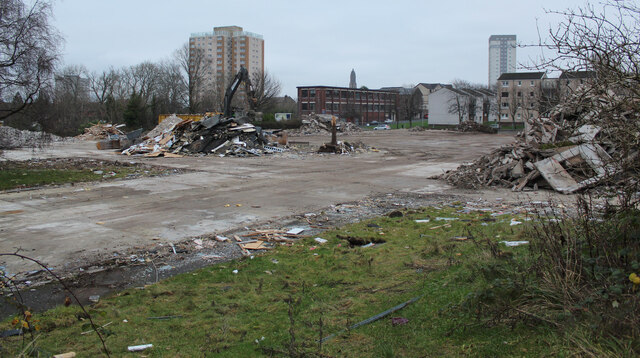
Historically, Greenock West was an important industrial port, serving as a hub for shipbuilding and trade in the 19th and 20th centuries. The town's shipyards were renowned for producing some of the finest vessels of their time. While the shipbuilding industry has declined, remnants of its maritime heritage can still be seen in the form of old dockyards and warehouses that line the waterfront.
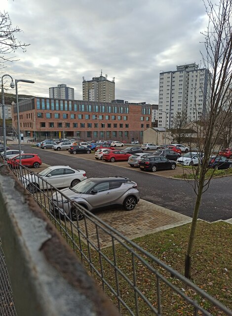
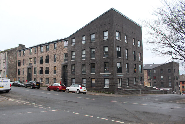
Today, Greenock West retains its charm with a mix of Victorian and Georgian architecture. The town center is a bustling area with a range of shops, cafes, and local businesses. There are also several parks and green spaces, providing recreational areas for residents and visitors alike.
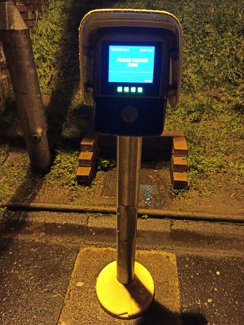
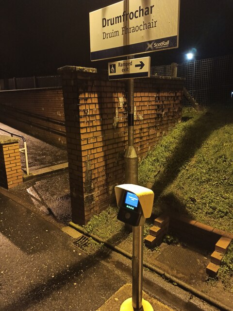
Transportation in Greenock West is well-served by roads and public transport links. The town has its own train station, connecting it to Glasgow and other nearby towns. Additionally, the A8 road runs through the town, offering easy access to the wider region.
Overall, Greenock West offers a peaceful and picturesque setting with a rich history. Its location on the River Clyde, combined with its industrial past and vibrant community, makes it an interesting place to visit or call home.
If you have any feedback on the listing, please let us know in the comments section below.
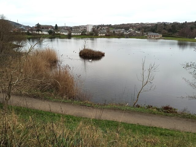
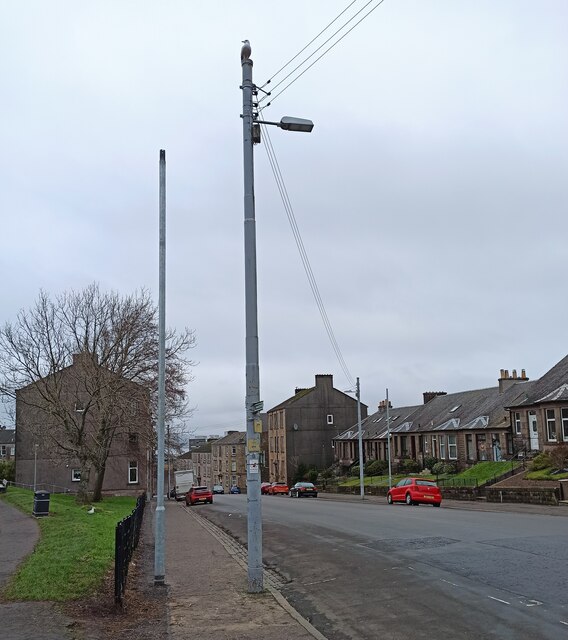
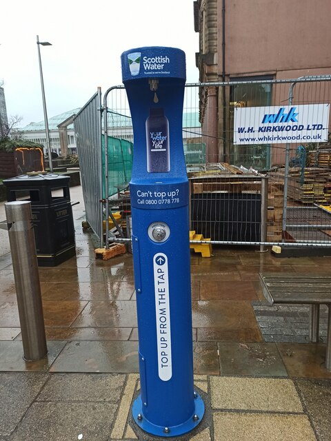
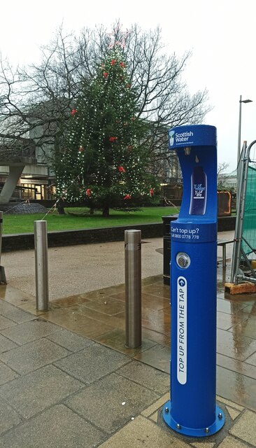
Greenock West Images
Images are sourced within 2km of 55.956834/-4.775689 or Grid Reference NS2677. Thanks to Geograph Open Source API. All images are credited.


Greenock West is located at Grid Ref: NS2677 (Lat: 55.956834, Lng: -4.775689)
Unitary Authority: Inverclyde
Police Authority: Renfrewshire and Inverclyde
What 3 Words
///lucky.magic.stream. Near Greenock, Inverclyde
Nearby Locations
Related Wikis
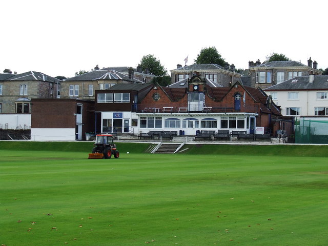
Glenpark Cricket Ground
Glenpark Cricket Ground is a cricket ground in Greenock, Scotland. The first recorded match held on the ground came in 1869 when Greenock played the Players...
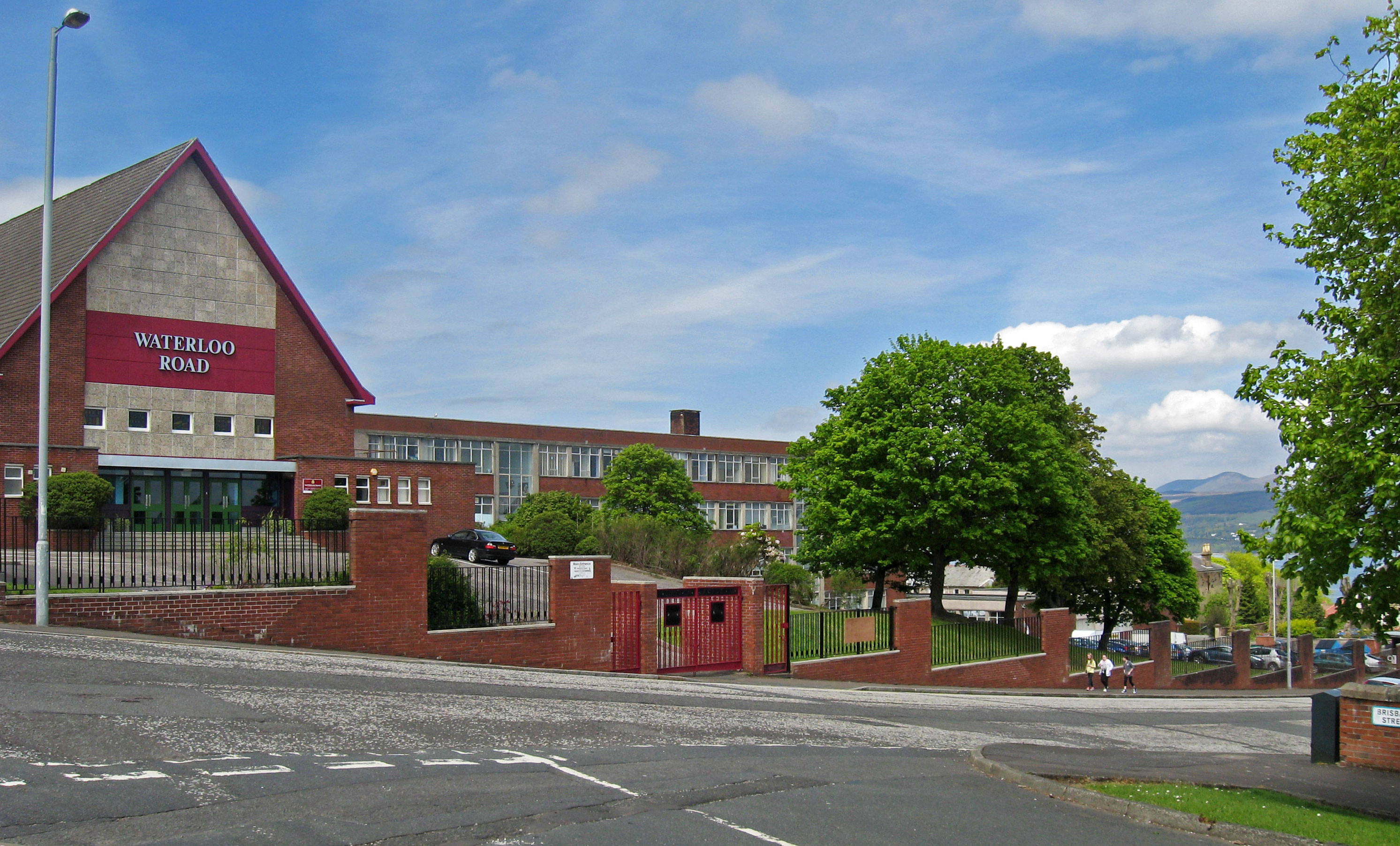
Greenock Academy
The Greenock Academy was a mixed non-denominational school in the west end of Greenock, Scotland, founded in 1855, originally independent, later a grammar...

St John the Evangelist's Church, Greenock
St John the Evangelist's Church, Greenock, is located in Union Street, Greenock, Inverclyde, Scotland. It is an active Anglican church in the Scottish...
Greenock West
Greenock West, also known simply as the West End, is an area of Greenock, Inverclyde, Scotland. The streets are in a grid like layout referred to as blocks...
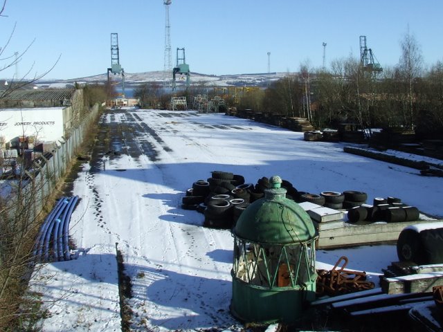
Greenock Princes Pier railway station
Greenock Princes Pier was a railway station serving Greenock, Renfrewshire, Scotland, originally as part of the Greenock and Ayrshire Railway. It was approached...

McLean Museum
The McLean Museum and Art Gallery (now officially the Watt Institution) is a museum and art gallery situated in Greenock, Inverclyde, Scotland. It is the...
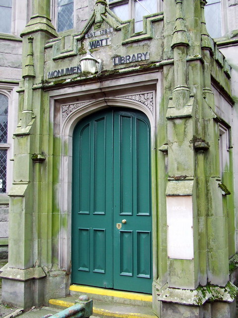
Watt Library
The Watt Library or Watt Monument Library in Greenock, Scotland, opened on its current site in 1837 and was the direct descendant of the Greenock Library...

Greenock
Greenock ( ; Scots: Greenock; Scottish Gaelic: Grianaig, pronounced [ˈkɾʲiənɛkʲ]) is a town and administrative centre in the Inverclyde council area in...
Nearby Amenities
Located within 500m of 55.956834,-4.775689Have you been to Greenock West?
Leave your review of Greenock West below (or comments, questions and feedback).