Greenock
Settlement in Renfrewshire
Scotland
Greenock
Greenock is a town located in Renfrewshire, Scotland. Situated on the southern bank of the River Clyde, it is approximately 25 miles west of Glasgow. With a population of around 45,000 people, it is the largest town in the Inverclyde council area.
Greenock has a rich industrial history, particularly in shipbuilding and marine engineering. In the 19th and early 20th centuries, it was a major center for shipbuilding, with several prominent shipyards operating along the Clyde. Today, remnants of this industrial past can still be seen, including the iconic Victoria Tower, a former sugar refinery chimney that stands as a local landmark.
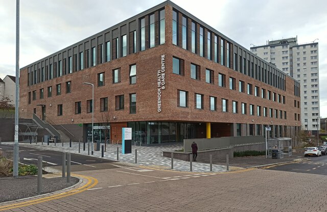
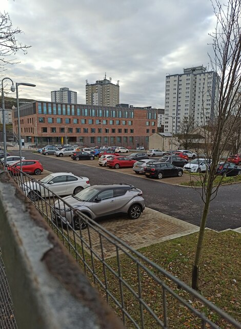
The town offers a range of amenities and services to its residents and visitors. It has a vibrant town center with a variety of shops, restaurants, and entertainment options. The Oak Mall Shopping Centre is a popular destination for retail therapy, while the Waterfront Leisure Complex provides recreational activities, including swimming and fitness facilities.
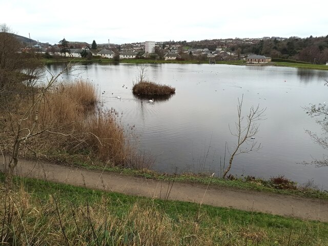
Greenock is also home to several notable landmarks and attractions. The McLean Museum and Art Gallery houses a diverse collection of art and historical artifacts, offering insights into the town's past. The Custom House, a magnificent neoclassical building, is another architectural gem worth exploring. Additionally, the town boasts beautiful parks and gardens, such as the Lyle Hill and the Battery Park, offering stunning views of the Clyde estuary.
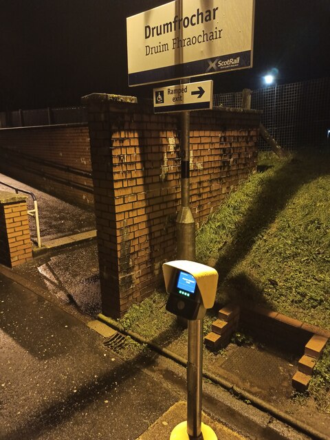
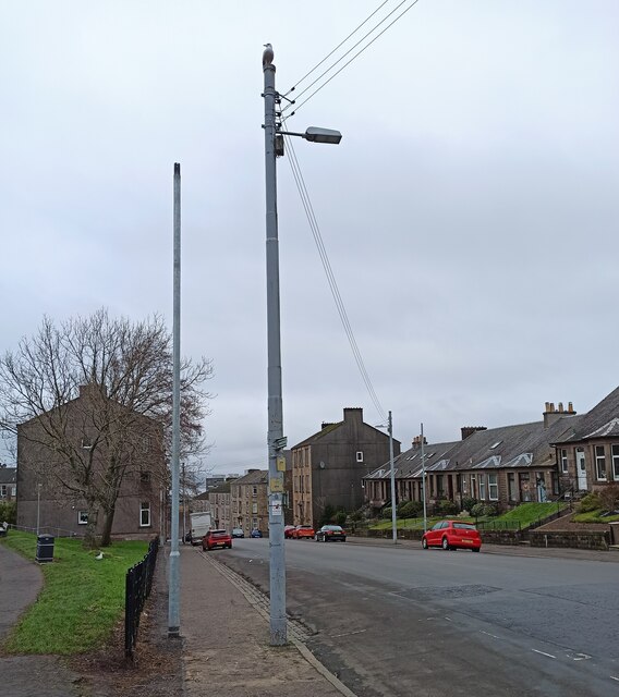
Transportation in Greenock is well-served, with excellent road and rail connections. The town has its own railway station, providing easy access to Glasgow and other surrounding areas. For those who prefer driving, the A8 road connects Greenock to the wider motorway network.
In summary, Greenock is a historic town with a proud industrial heritage, offering a range of amenities, attractions, and excellent transport links.
If you have any feedback on the listing, please let us know in the comments section below.
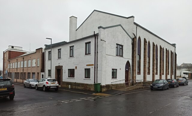
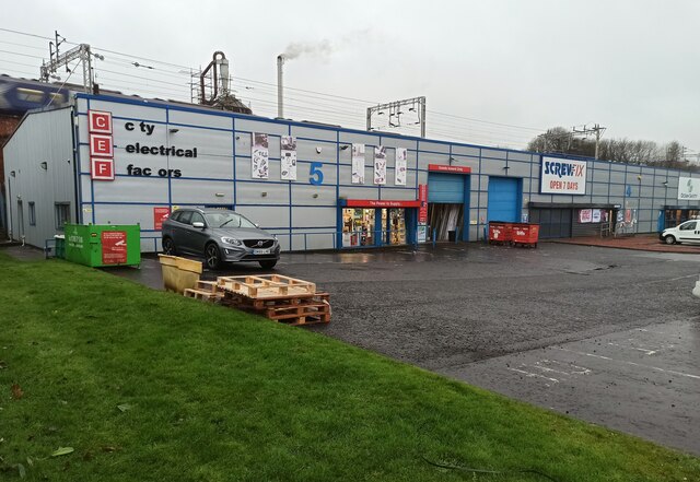
Greenock Images
Images are sourced within 2km of 55.948548/-4.757202 or Grid Reference NS2776. Thanks to Geograph Open Source API. All images are credited.


Greenock is located at Grid Ref: NS2776 (Lat: 55.948548, Lng: -4.757202)
Unitary Authority: Inverclyde
Police Authority: Renfrewshire and Inverclyde
What 3 Words
///anyway.clubs.former. Near Greenock, Inverclyde
Nearby Locations
Related Wikis
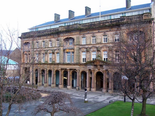
Greenock Municipal Buildings
Greenock Municipal Buildings is a municipal structure in Clyde Square, Greenock, Scotland. The municipal buildings, which are the headquarters of Inverclyde...

Scottish Fire and Rescue Service Museum and Heritage Centre
The Scottish Fire and Rescue Service Museum and Heritage Centre is a museum in Greenock, Inverclyde, Scotland. It is housed in a former fire station and...
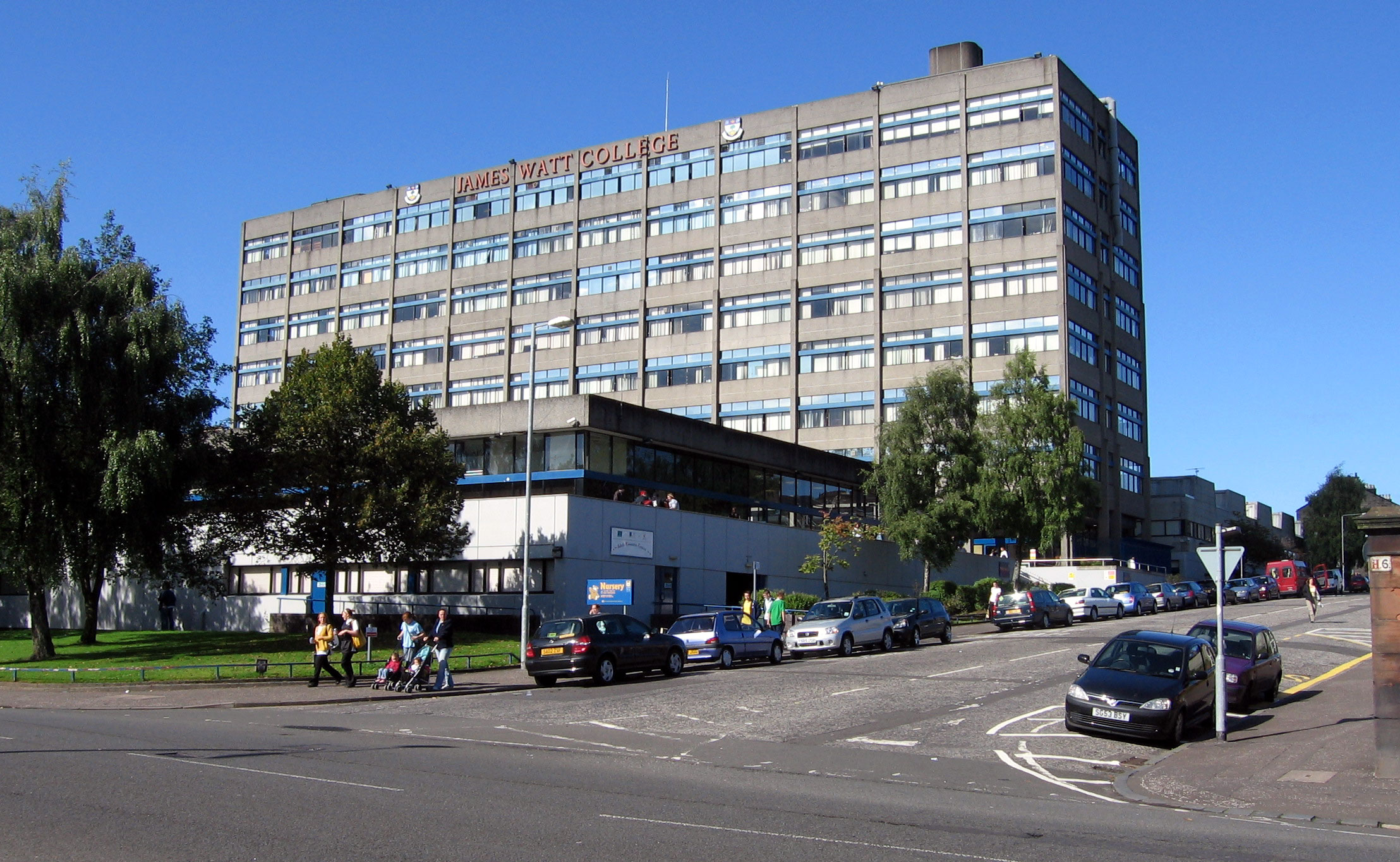
James Watt College
The James Watt College was a further education college in Greenock, Scotland. It is now part of West College Scotland. There were also campuses in Largs...
RAF Greenock
RAF Greenock was a Royal Air Force station in Greenock, Scotland from 1940 to 1945.RAF Greenock was created on 10 October 1940 as a maintenance base for...

Greenock Royal Infirmary
Greenock Royal Infirmary was a health facility in Greenock, Scotland. Its original Hospital or Infirmary of 1809 stood in Inverkip Street, it was subsequently...

Greenock
Greenock ( ; Scots: Greenock; Scottish Gaelic: Grianaig, pronounced [ˈkɾʲiənɛkʲ]) is a town and administrative centre in the Inverclyde council area in...

Greenock Central railway station
Greenock Central station is one of eight railway stations serving the town of Greenock in western Scotland, and is the nearest to the town centre. This...
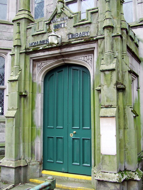
Watt Library
The Watt Library or Watt Monument Library in Greenock, Scotland, opened on its current site in 1837 and was the direct descendant of the Greenock Library...
Nearby Amenities
Located within 500m of 55.948548,-4.757202Have you been to Greenock?
Leave your review of Greenock below (or comments, questions and feedback).