Sròn na h-Innse-coille
Landscape Feature in Ross-shire
Scotland
Sròn na h-Innse-coille

The requested URL returned error: 429 Too Many Requests
If you have any feedback on the listing, please let us know in the comments section below.
Sròn na h-Innse-coille Images
Images are sourced within 2km of 57.624497/-4.7752896 or Grid Reference NH3462. Thanks to Geograph Open Source API. All images are credited.


Sròn na h-Innse-coille is located at Grid Ref: NH3462 (Lat: 57.624497, Lng: -4.7752896)
Unitary Authority: Highland
Police Authority: Highlands and Islands
What 3 Words
///thumb.figure.spices. Near Strathpeffer, Highland
Nearby Locations
Related Wikis
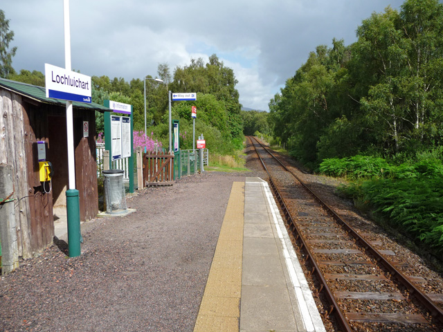
Lochluichart railway station
Lochluichart railway station is a railway station on the Kyle of Lochalsh Line, serving the village of Lochluichart in the north of Scotland. The station...

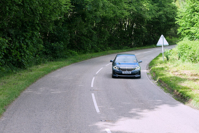
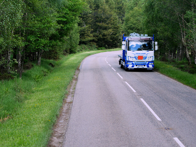
A832 road
The A832 is a road in the Scottish Highlands, linking Cromarty, on the east coast, to Gairloch on the west coast, and beyond Gairloch to Braemore Junction...

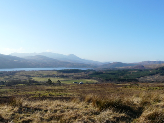
Grudie
Grudie (Grùididh in Scottish Gaelic) is a village, situated between Loch a' Chuilinn and Loch Luichart with the River Bran flowing past Grudie east to...
Gorstan
Gorstan (Scottish Gaelic: An Goirtean) is a small hamlet in Garve, Ross-shire region in the Scottish council area of Highland. == References ==
Nearby Amenities
Located within 500m of 57.624497,-4.7752896Have you been to Sròn na h-Innse-coille?
Leave your review of Sròn na h-Innse-coille below (or comments, questions and feedback).