Rubha na Mòine
Landscape Feature in Sutherland
Scotland
Rubha na Mòine
Rubha na Mòine is a prominent landscape feature located in Sutherland, Scotland. Situated on the northwestern coast of the country, it is a peninsula that juts out into the North Atlantic Ocean.
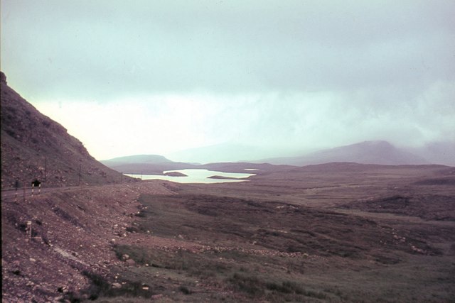
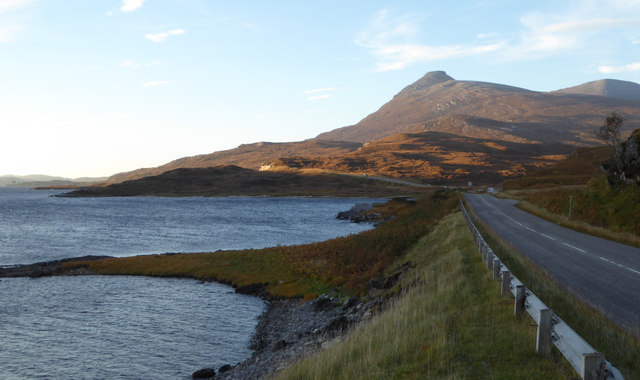
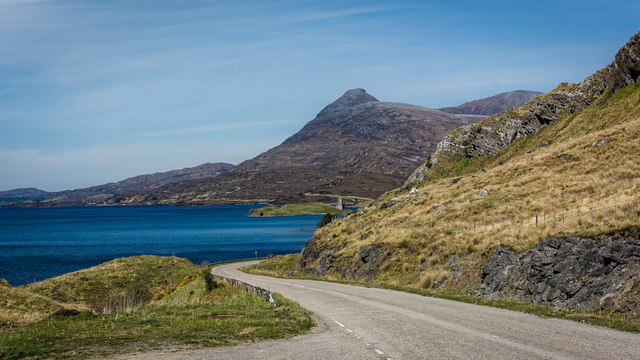
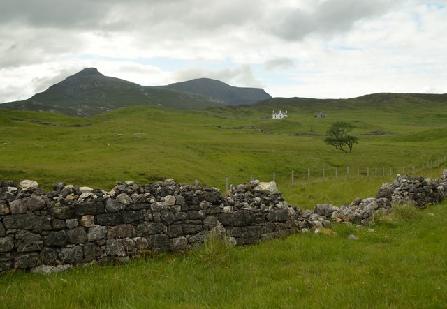
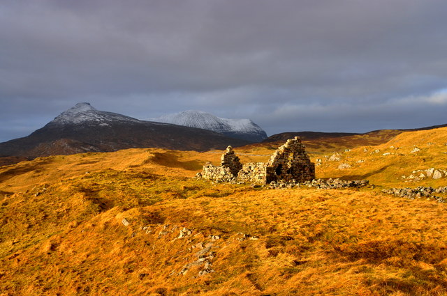
The name Rubha na Mòine translates to "point of the peat" in Gaelic, which accurately describes the terrain of this area. The landscape is characterized by its rugged and wild beauty, with vast expanses of peat bogs dominating the peninsula. These peat bogs are formed from the accumulation of partially decayed plant material over centuries and play a crucial role in the local ecosystem.
The peninsula is surrounded by stunning coastal cliffs, providing breathtaking views of the ocean and the distant horizon. The rocky coastline is home to numerous seabird colonies, including puffins, guillemots, and razorbills, making it a popular destination for birdwatchers and nature enthusiasts.
In addition to its natural beauty, Rubha na Mòine is also steeped in history and folklore. The remains of an Iron Age broch, or circular stone tower, can be found on the peninsula, serving as a reminder of ancient human settlement in the area. Local legends and stories of ancient battles further add to the mystique of this landscape feature.
Overall, Rubha na Mòine is a captivating and diverse landscape that offers visitors a unique glimpse into the natural and cultural heritage of the Scottish Highlands. Its peat bogs, dramatic cliffs, and rich history make it a must-see destination for those seeking an authentic Scottish experience.
If you have any feedback on the listing, please let us know in the comments section below.
Rubha na Mòine Images
Images are sourced within 2km of 58.162575/-5.002512 or Grid Reference NC2323. Thanks to Geograph Open Source API. All images are credited.
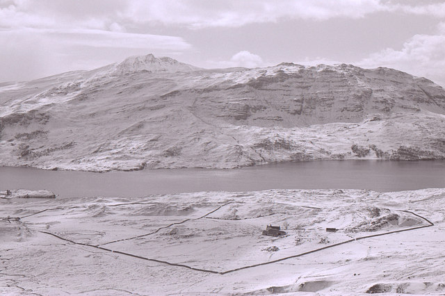
![Former Assynt Parish Church The former Assynt Parish Church sits at the eastern end of Loch Assynt at Inchnadamph. The churchyard and the medieval MacLeod Vault are a Scheduled Monument [<span class="nowrap"><a title="http://portal.historicenvironment.scot/designation/SM8309" rel="nofollow ugc noopener" href="http://portal.historicenvironment.scot/designation/SM8309">Link</a><img style="margin-left:2px;" alt="External link" title="External link - shift click to open in new window" src="https://s1.geograph.org.uk/img/external.png" width="10" height="10"/></span>], while the church is Category B listed [<span class="nowrap"><a title="http://portal.historicenvironment.scot/designation/LB44967" rel="nofollow ugc noopener" href="http://portal.historicenvironment.scot/designation/LB44967">Link</a><img style="margin-left:2px;" alt="External link" title="External link - shift click to open in new window" src="https://s1.geograph.org.uk/img/external.png" width="10" height="10"/></span>].The distinctive Quinag is in the distance.](https://s1.geograph.org.uk/geophotos/05/74/54/5745413_e863f990.jpg)
Rubha na Mòine is located at Grid Ref: NC2323 (Lat: 58.162575, Lng: -5.002512)
Unitary Authority: Highland
Police Authority: Highlands and Islands
What 3 Words
///spooned.surfer.goose. Near Inchnadamph, Highland
Nearby Locations
Related Wikis

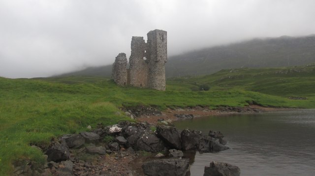
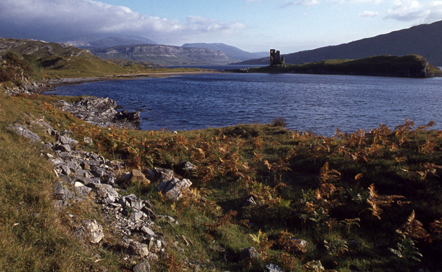
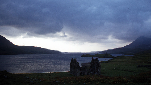
Ardvreck Castle
Ardvreck Castle is a castle, now ruinous, standing on a rocky promontory in Loch Assynt, Sutherland, Scotland, UK. The structure dates from about 1490...

Inchnadamph
Inchnadamph is a hamlet in Assynt, Sutherland, Scotland. The name is an anglicisation of the Gaelic name Innis nan Damh meaning 'meadow of the stags'....

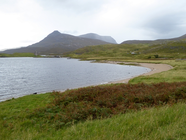
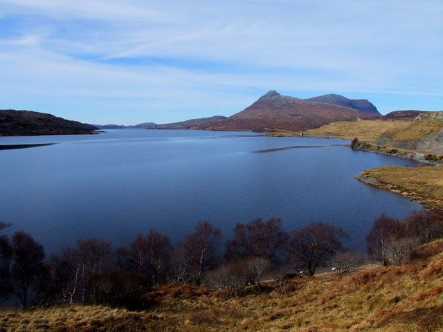
Loch Assynt
Loch Assynt (Scottish Gaelic: Loch Asaint) is a freshwater loch in Sutherland, Scotland, 8 kilometres (5.0 mi) north-east of Lochinver. Situated in a spectacular...

Glas Bheinn (Assynt)
Glas Bheinn (776 m) is a mountain in the Northwest Highlands of Scotland. It lies in the Assynt area of Sutherland, in the far north of the country. A...
Have you been to Rubha na Mòine?
Leave your review of Rubha na Mòine below (or comments, questions and feedback).