Rubha na Seilcheig

Landscape Feature in Sutherland

Scotland

Rubha na Seilcheig

Cam Alltan above Elphin
Cam Alltan above Elphin Credit: John Ferguson

The requested URL returned error: 429 Too Many Requests

If you have any feedback on the listing, please let us know in the comments section below.

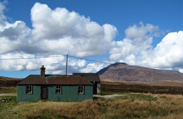
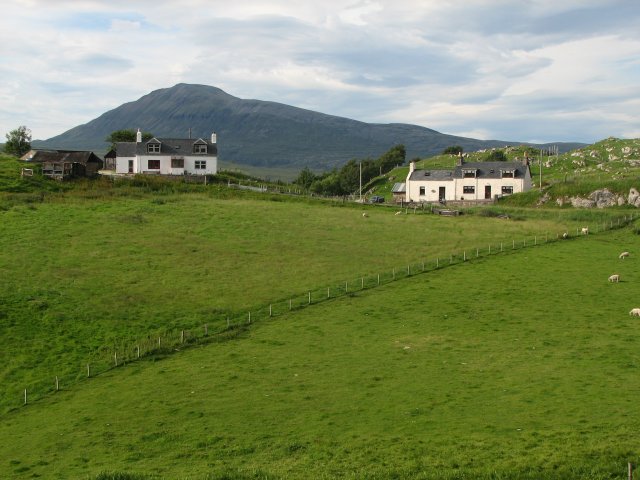
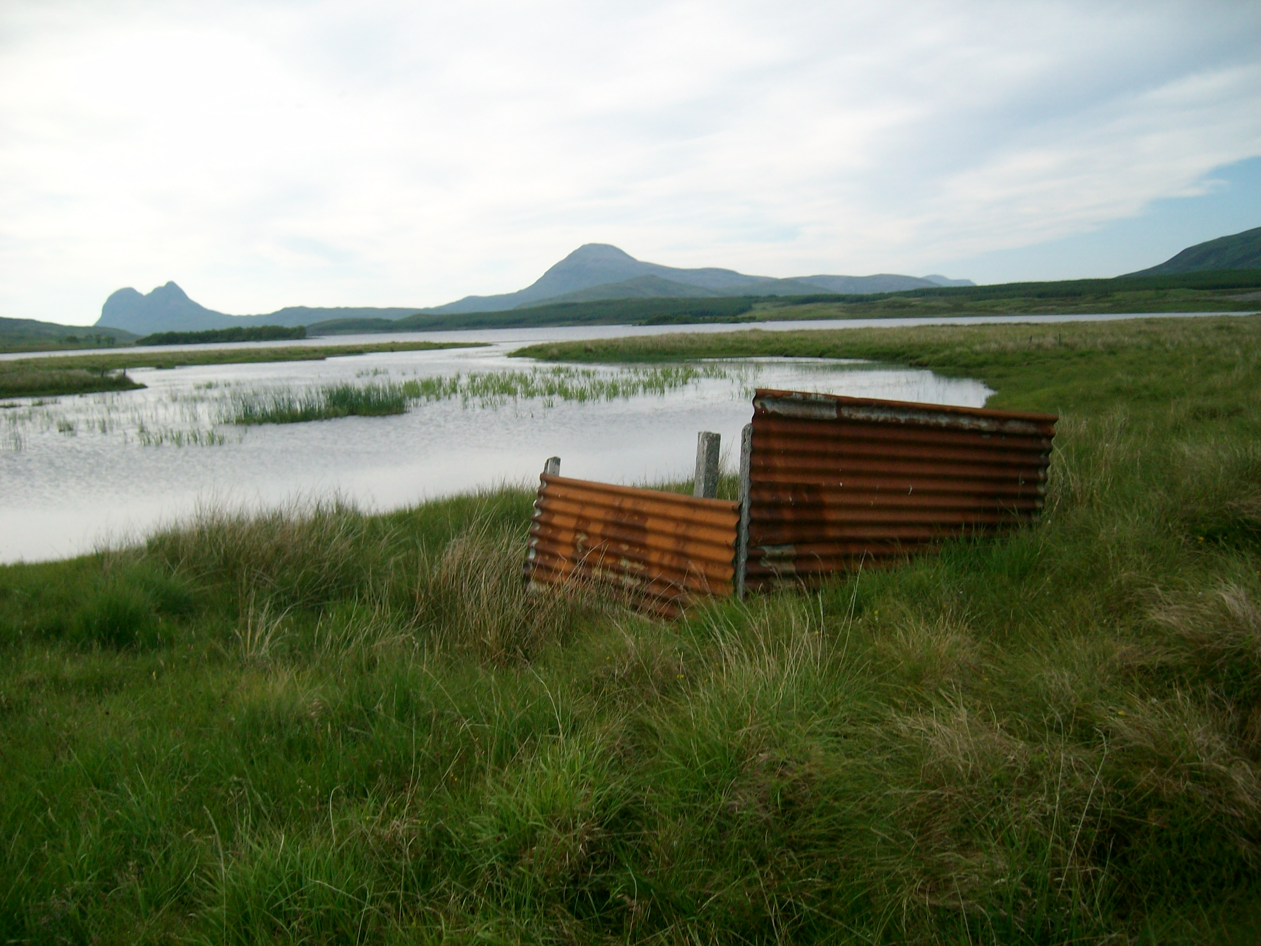
Rubha na Seilcheig Images

Images are sourced within 2km of 58.054904/-5.0019933 or Grid Reference NC2211. Thanks to Geograph Open Source API. All images are credited.

Cam Alltan above Elphin
Suilven (2,399 ft.) from Buaile nan Goilean burial ground at Elphin, 1994 View northward, from the A835 (Garve - Ullapool - Ledmore) across Cam Loch. (Cf. <a href="https://www.geograph.org.uk/photo/1937963">NC2112 : Elphin burial ground</a>, <a href="https://www.geograph.org.uk/photo/312438">NC2112 : Elphin Burial Ground</a> and <a href="https://www.geograph.org.uk/photo/4373179">NC2112 : Elphin Burial Ground</a>).
Suilven (2,399 ft.) from Buaile nan Goilean burial ground at Elphin, 1994
View northward, from the A835 (Garve - Ullapool - Ledmore) across Cam Loch. (Cf. NC2112 : Elphin burial ground, NC2112 : Elphin Burial Ground and NC2112 : Elphin Burial Ground).
Elphin
Elphin
Ledmore River landscape The Ledmore River emerges here from Cam Loch. Viewed from the A835. Suilven prominent in the distance.
Ledmore River landscape
The Ledmore River emerges here from Cam Loch. Viewed from the A835. Suilven prominent in the distance.
Eillean na Gartaig
Eillean na Gartaig
'Tin' building at Elphin This corrugated metal building at Elphin appears to be popular with 'geograph' contributors. Viewers of this photo may be disappointed to know that it is now used as a farm store and is unavailable for rent as a holiday cottage. In the background is a sunlit Canisp.
'Tin' building at Elphin
This corrugated metal building at Elphin appears to be popular with 'geograph' contributors. Viewers of this photo may be disappointed to know that it is now used as a farm store and is unavailable for rent as a holiday cottage. In the background is a sunlit Canisp.
Twin peaks The view westwards from the roadside near Rhisalach towards the twin tops of Cul Mor.
Twin peaks
The view westwards from the roadside near Rhisalach towards the twin tops of Cul Mor.
Towards the Cam Loch and Canisp Taken from the roadside at Rhisalach with sections of the Ledbeg River and Cam Loch visible as well as Canisp rising in the background.
Towards the Cam Loch and Canisp
Taken from the roadside at Rhisalach with sections of the Ledbeg River and Cam Loch visible as well as Canisp rising in the background.
Backpacking to Suilven 1977 On the path by the Cam Loch in search of a campsite in a fine spell of May weather. Compare with Nigel Brown's photograph <a href="https://www.geograph.org.uk/photo/737083">NC2212 : Cam Loch shoreline</a> taken from here in 1998.
Backpacking to Suilven 1977
On the path by the Cam Loch in search of a campsite in a fine spell of May weather. Compare with Nigel Brown's photograph NC2212 : Cam Loch shoreline taken from here in 1998.
Partially frozen Cam Loch
Abhainn a' Chnocain Flowing into Loch Veyatie at Elphin
Abhainn a' Chnocain
Flowing into Loch Veyatie at Elphin
Ruin at Elphin Suilven in the background
Ruin at Elphin
Suilven in the background
OSBM Bolt on Ledbeg Bridge OSBM Bolt: Ledbeg Bridge
OSBM Bolt on Ledbeg Bridge
OSBM Bolt: Ledbeg Bridge
Cottages between Elphin and Knockan
Druim na Doire Duibhe, Loch Urigill The open woodland on the south shore of Urigill almost makes it to the shoreline here in a shallow gully.  The hill behind is Cul Mòr with its outlier, Meallan Diomhain catching a bit of sun.
Druim na Doire Duibhe, Loch Urigill
The open woodland on the south shore of Urigill almost makes it to the shoreline here in a shallow gully. The hill behind is Cul Mòr with its outlier, Meallan Diomhain catching a bit of sun.
Abhainn a' Chnocain A shallow glen carrying the burn downstream from Uamh an Tartair. The hills of Assynt in the background.
Abhainn a' Chnocain
A shallow glen carrying the burn downstream from Uamh an Tartair. The hills of Assynt in the background.
Sinkhole and pothole Karst features near Knockan, due to the Durness limestone.
Sinkhole and pothole
Karst features near Knockan, due to the Durness limestone.
Native woodland at Doire Dhubh Loch Urigill
Show me another place!

Rubha na Seilcheig is located at Grid Ref: NC2211 (Lat: 58.054904, Lng: -5.0019933)

Unitary Authority: Highland

Police Authority: Highlands and Islands

What 3 Words

///loses.headlight.crusted. Near Inchnadamph, Highland

Related Wikis

Elphin, Highland

Elphin (Scottish Gaelic: Ailbhinn, which possibly derives from a combination of Norse and Gaelic fjell, "cliff" or "rock", and fionn, "bright") is a crofting...

Loch Urigill

Loch Urigill is a freshwater loch near Elphin at the southern tip of the Assynt District in north-west Sutherland, Scotland.It's 2 miles from Elphin and...

Cam Loch, Sutherland

Cam Loch (the crooked loch) is an irregularly-shaped freshwater loch, about 5 km long, on a north-west to south-east orientation, located slightly north...

Loch Borralan

Loch Borralan is a freshwater loch in the Assynt District of Sutherland in the Highland Council Area, northern Scotland.It is located adjacent to the A837...

Have you been to Rubha na Seilcheig?

Leave your review of Rubha na Seilcheig below (or comments, questions and feedback).