Àird Mhor

Landscape Feature in Ross-shire

Scotland

Àird Mhor

Loch Kernsary Looking south across the loch; the track to Kernsary can just be made out on the other side. The small islet in the picture isn't the crannog marked on the map, but does have a bit of an artificial look about it.
Loch Kernsary Credit: Nigel Brown

Àird Mhor is a prominent landscape feature located in Ross-shire, Scotland. Situated on the west coast of the Highlands, it is characterized by its rugged and dramatic cliffs, providing stunning panoramic views of the surrounding area.

Standing at an impressive height of 400 meters, Àird Mhor offers an unparalleled vantage point over the Atlantic Ocean. The cliffs themselves are composed mainly of ancient rock formations, displaying layers of sedimentary deposits that reveal the area's geological history.

This landscape feature is home to a diverse range of flora and fauna, making it an important ecological site. The exposed cliffs provide nesting grounds for various seabirds, including guillemots, razorbills, and kittiwakes. The surrounding heathland and moorland host a variety of plant species, such as heather, gorse, and ferns.

Visitors to Àird Mhor can enjoy hiking along the coastal paths, taking in the breathtaking views and observing the wildlife. The area is also popular among rock climbers, who are drawn to the challenging cliffs and exhilarating routes available.

In addition to its natural beauty, Àird Mhor holds cultural and historical significance. The site has been inhabited since ancient times, and evidence of early settlements can be found in the form of archaeological remains. Its strategic location along the coast has also made it a site of interest during various conflicts throughout history.

Overall, Àird Mhor offers a stunning and diverse landscape, combining natural beauty, ecological importance, and historical significance. It is a must-visit destination for nature enthusiasts, hikers, and those seeking a glimpse into the rich heritage of the Scottish Highlands.

If you have any feedback on the listing, please let us know in the comments section below.

Àird Mhor Images

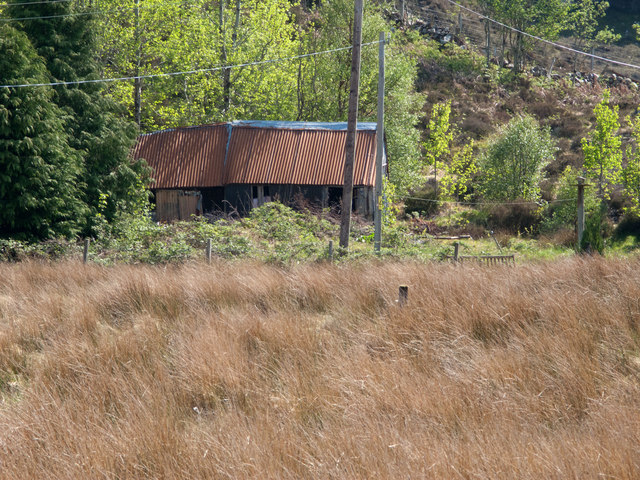
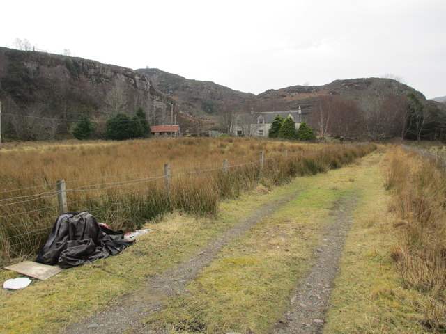
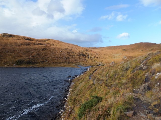
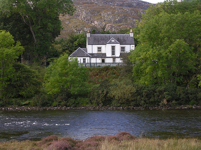
Images are sourced within 2km of 57.760869/-5.5653134 or Grid Reference NG8880. Thanks to Geograph Open Source API. All images are credited.

Loch Kernsary Looking south across the loch; the track to Kernsary can just be made out on the other side. The small islet in the picture isn't the crannog marked on the map, but does have a bit of an artificial look about it.
Loch Kernsary
Looking south across the loch; the track to Kernsary can just be made out on the other side. The small islet in the picture isn't the crannog marked on the map, but does have a bit of an artificial look about it.
Loch Kernsary from path below Meall an Leathaid Dharaich Loch Kernsary is viewed to the south from a path on its northern side; the very rocky but relatively low mountain, Creag Mhor Thollaidh, is seen distantly.
Loch Kernsary from path below Meall an Leathaid Dharaich
Loch Kernsary is viewed to the south from a path on its northern side; the very rocky but relatively low mountain, Creag Mhor Thollaidh, is seen distantly.
Loch Kernsary Creag Mhor Thollaidh is the rocky peak seen across the eastern end of Loch Kernsary from the path on its north side.
Loch Kernsary
Creag Mhor Thollaidh is the rocky peak seen across the eastern end of Loch Kernsary from the path on its north side.
Ruined building at Londubh Londubh is part of the small village of Poolewe; it's reached by a minor road leaving the A832. The ruin is seen across a field of deep grass from close to the road end.
Ruined building at Londubh
Londubh is part of the small village of Poolewe; it's reached by a minor road leaving the A832. The ruin is seen across a field of deep grass from close to the road end.
Farm at Londubh
Farm at Londubh
Rocky outcrop by Loch Kernsary The hill behind is Meall an Leathaid Dharaich.
Rocky outcrop by Loch Kernsary
The hill behind is Meall an Leathaid Dharaich.
Path by Loch Kernsary
Crannog, Loch Kernsary
Road by the River Ewe
Looking down the River Ewe
House overlooking the River Ewe With a commanding view.
House overlooking the River Ewe
With a commanding view.
Crannog on Loch Kernsary Strictly speaking, a crannog is an artificial island but Kernsary's crannog appears to be partly a natural artifact.
Crannog on Loch Kernsary
Strictly speaking, a crannog is an artificial island but Kernsary's crannog appears to be partly a natural artifact.
Ard a' Bhuic A small promontory (ard) jutting into the north side of Loch Kernsary.
Ard a' Bhuic
A small promontory (ard) jutting into the north side of Loch Kernsary.
Loch Kernsary The north-west tip of the loch, fed here by a tiny unnamed burn.
Loch Kernsary
The north-west tip of the loch, fed here by a tiny unnamed burn.
Poolewe from Creagan na Feannaige
River Ewe
River Ewe
River Ewe
River Ewe
Poolewe
Poolewe
Show me another place!

Àird Mhor is located at Grid Ref: NG8880 (Lat: 57.760869, Lng: -5.5653134)

Unitary Authority: Highland

Police Authority: Highlands and Islands

What 3 Words

///notes.landed.customers. Near Gairloch, Highland

Related Wikis

Londubh

Londubh (Scottish Gaelic: An Lòn Dubh) is a village on the south shore of Loch Ewe in Poolewe, Ross-shire, Scottish Highlands and is in the Scottish council...

Poolewe

Poolewe (Scottish Gaelic: Poll Iù) is a small village in Wester Ross in the North West Highlands of Scotland, about 75 miles (120 kilometres) northwest...

Poolewe Stone

The Poolewe Stone is a Class-I Pictish stone discovered in 1992 in the cemetery at Poolewe (Poll Iùbh) in Wester Ross. The stone carries the common Pictish...

Inverewe Garden

Inverewe Garden (Scottish Gaelic: Gàradh Inbhir Iù) is a botanical garden in Wester Ross in the Scottish Highlands. It is located just to the north of...

Nearby Amenities

Located within 500m of 57.760869,-5.5653134
Rubha Bàn
Natural: cape
Lat/Long: 57.7619101/-5.558842
Àird Bheag
Place: locality
Lat/Long: 57.7581063/-5.5679539
Àird Mhòr
Place: locality
Lat/Long: 57.7608293/-5.5659078
The data included in this document is from www.openstreetmap.org. The data is made available under ODbL.

Have you been to Àird Mhor?

Leave your review of Àird Mhor below (or comments, questions and feedback).