Greenhill
Settlement in Worcestershire Wychavon
England
Greenhill
The requested URL returned error: 429 Too Many Requests
If you have any feedback on the listing, please let us know in the comments section below.
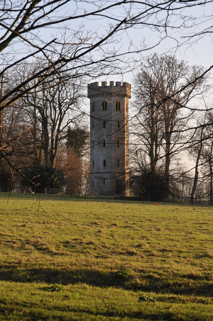
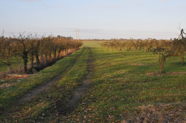
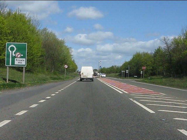
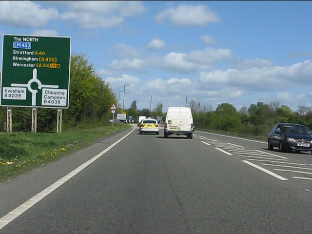
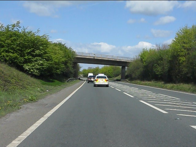
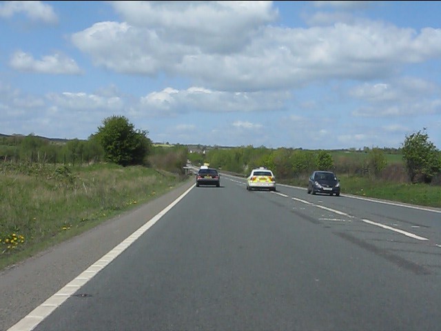
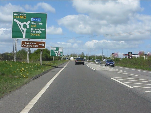
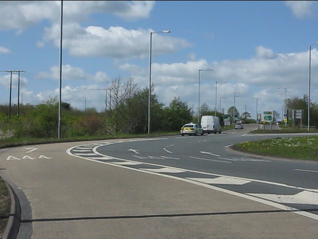
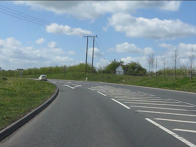
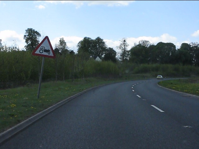
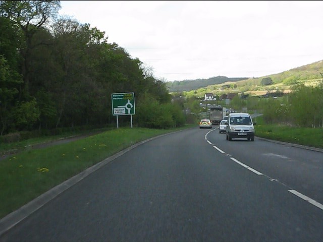
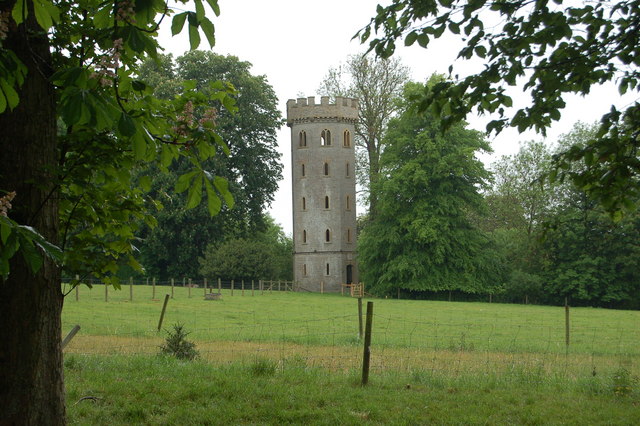
Greenhill Images
Images are sourced within 2km of 52.09914/-1.9428163 or Grid Reference SP0444. Thanks to Geograph Open Source API. All images are credited.


Greenhill is located at Grid Ref: SP0444 (Lat: 52.09914, Lng: -1.9428163)
Administrative County: Worcestershire
District: Wychavon
Police Authority: West Mercia
What 3 Words
///wardrobe.stays.goose. Near Evesham, Worcestershire
Nearby Locations
Related Wikis

Prince Henry's High School
Prince Henry's High School, formerly Prince Henry's Grammar School, is an upper school with academy status in Evesham, Worcestershire, England. It is a...
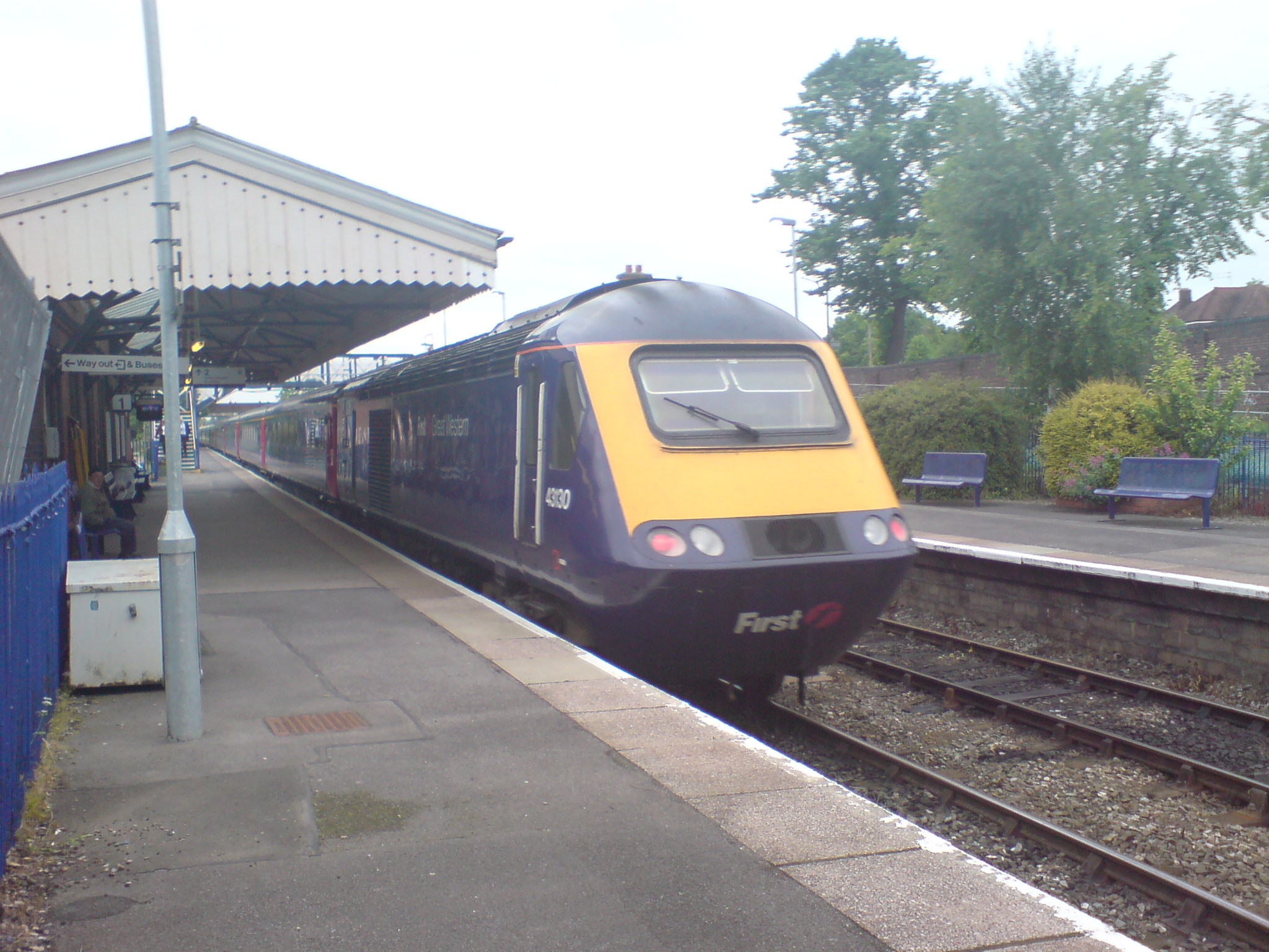
Evesham railway station
Evesham railway station is in the market town of Evesham in Worcestershire, England. It is between Honeybourne and Pershore stations on the Cotswold Line...

Greenhill, Evesham
Greenhill is a hill just north of Evesham, Worcestershire and was part of the site of the Battle of Evesham. In the battle, Simon de Montfort was defeated...

Evesham Town Hall
Evesham Town Hall is a municipal structure in the Market Place in Evesham, Worcestershire, England. The town hall, which was the headquarters of Evesham...
Nearby Amenities
Located within 500m of 52.09914,-1.9428163Have you been to Greenhill?
Leave your review of Greenhill below (or comments, questions and feedback).