Greenhill
Settlement in Worcestershire Wyre Forest
England
Greenhill

The requested URL returned error: 429 Too Many Requests
If you have any feedback on the listing, please let us know in the comments section below.
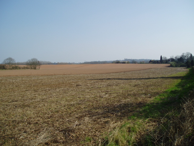
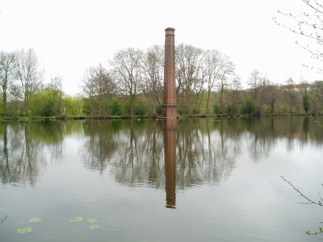
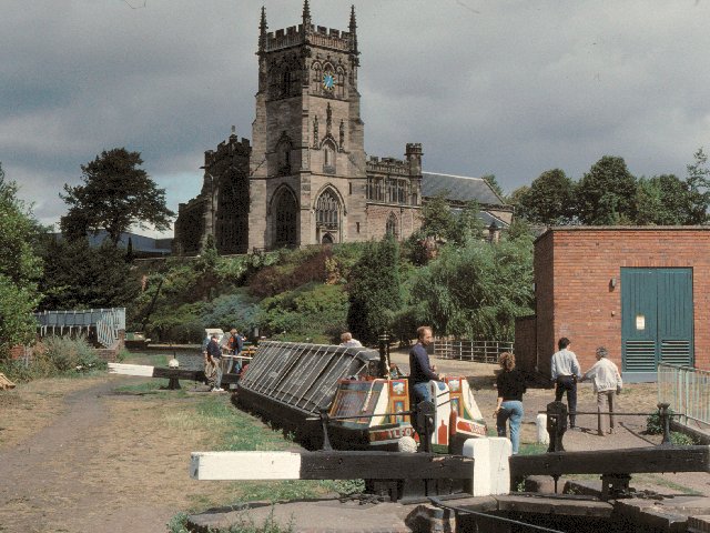
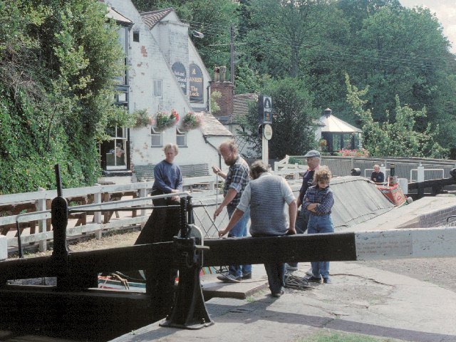
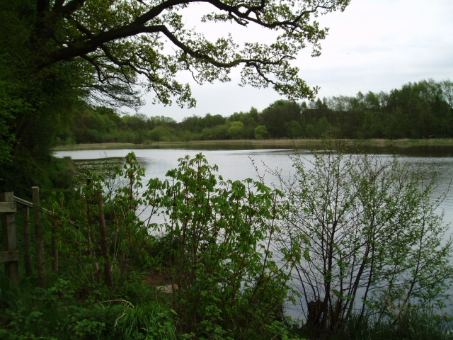
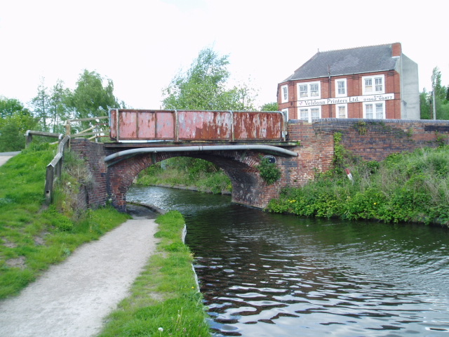
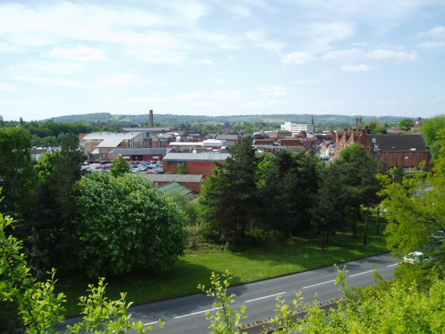
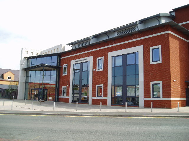
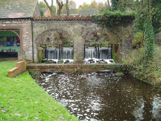
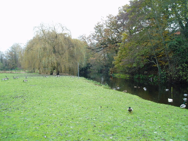
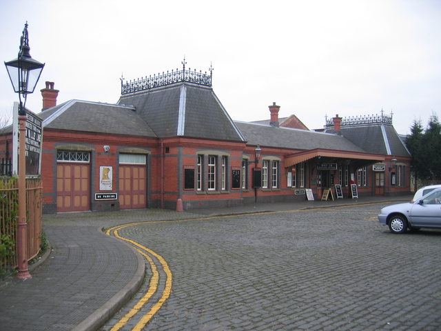
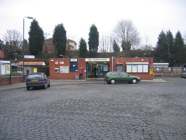
Greenhill Images
Images are sourced within 2km of 52.396157/-2.233201 or Grid Reference SO8477. Thanks to Geograph Open Source API. All images are credited.


Greenhill is located at Grid Ref: SO8477 (Lat: 52.396157, Lng: -2.233201)
Administrative County: Worcestershire
District: Wyre Forest
Police Authority: West Mercia
What 3 Words
///ozone.claps.after. Near Kidderminster, Worcestershire
Nearby Locations
Related Wikis

The Shrubbery, Kidderminster
The Shrubbery is a former military installation in Kidderminster, Worcestershire. It is a Grade II listed building. == History == The building is an early...

Holy Trinity School, Kidderminster
Holy Trinity School is a co-educational free school located in Kidderminster, Worcestershire, England, offering education to children from 4 years up to...
Chester Road North Ground, Kidderminster
The Chester Road North Ground, often referred to simply as Chester Road or Kidderminster, is a cricket ground in Kidderminster, Worcestershire, England...

St George's Church, Kidderminster
St George's Church, Kidderminster is a Church of England parish church in Kidderminster, Worcestershire, England. The church is a Grade II* listed building...
Nearby Amenities
Located within 500m of 52.396157,-2.233201Have you been to Greenhill?
Leave your review of Greenhill below (or comments, questions and feedback).