Sròn Mheadhonach
Landscape Feature in Argyllshire
Scotland
Sròn Mheadhonach
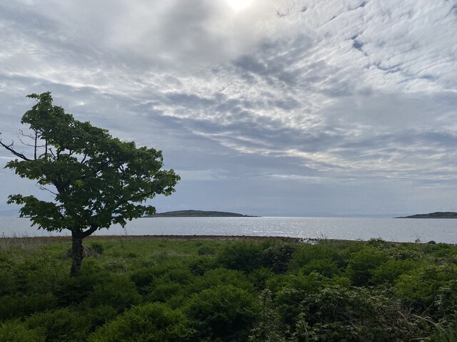
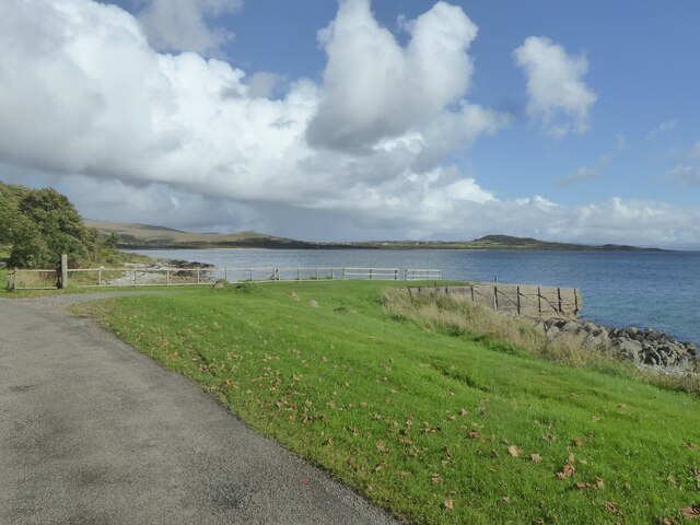
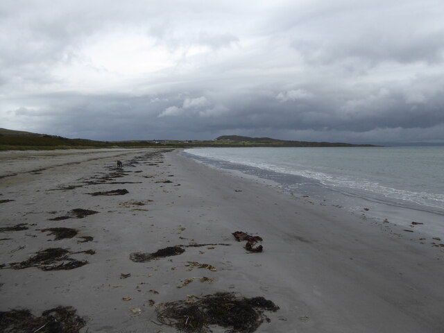
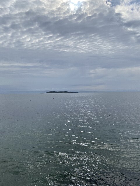
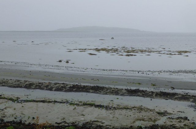
Sròn Mheadhonach is a prominent landscape feature located in Argyllshire, in the western region of Scotland. This geographical formation is characterized by its distinctive shape, resembling a triangular peninsula that extends into the North Atlantic Ocean. It is situated on the picturesque west coast of Scotland, offering breathtaking views of the surrounding area.
The name Sròn Mheadhonach translates to "middle nose" in Gaelic, which accurately describes its position between two neighboring peninsulas. It is bordered by Loch Awe to the east and Loch Crinan to the west, adding to its scenic charm. The peninsula is approximately 5 kilometers long and 2 kilometers wide, providing ample space for exploration and outdoor activities.
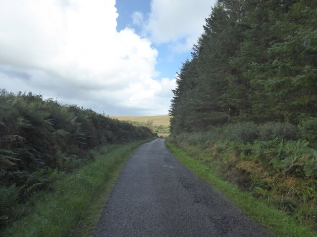
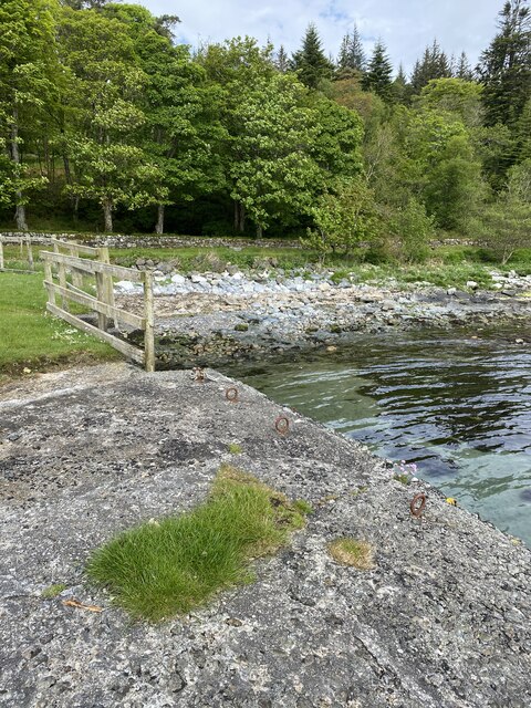
The landscape of Sròn Mheadhonach is diverse and captivating. Its terrain boasts rolling hills, lush green vegetation, and rocky outcrops, creating a striking contrast against the backdrop of the deep blue sea. The area is home to a variety of wildlife, including numerous bird species, marine animals, and plant life, making it a haven for nature enthusiasts.
Visitors can enjoy a range of recreational activities in Sròn Mheadhonach. Hiking and walking trails are plentiful, offering stunning views of the surrounding countryside and coastal vistas. The peninsula's proximity to the ocean also makes it a popular spot for fishing, boating, and other water-based activities.
Overall, Sròn Mheadhonach in Argyllshire is a captivating landscape feature, offering visitors a unique blend of natural beauty and outdoor adventure. Its stunning vistas, diverse terrain, and abundance of wildlife make it a must-visit destination for nature lovers and outdoor enthusiasts alike.
If you have any feedback on the listing, please let us know in the comments section below.
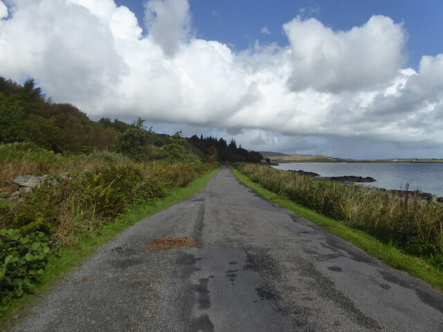
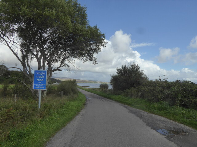
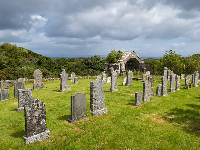
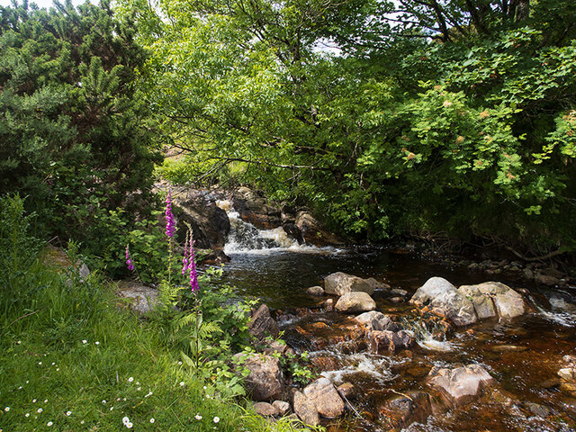
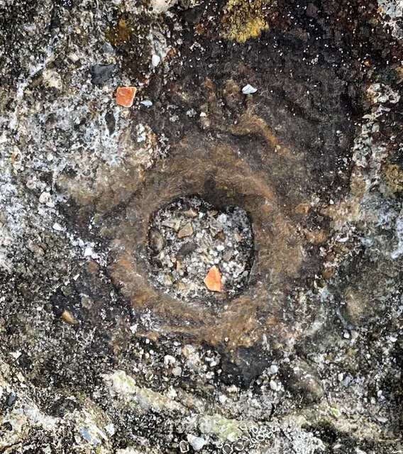
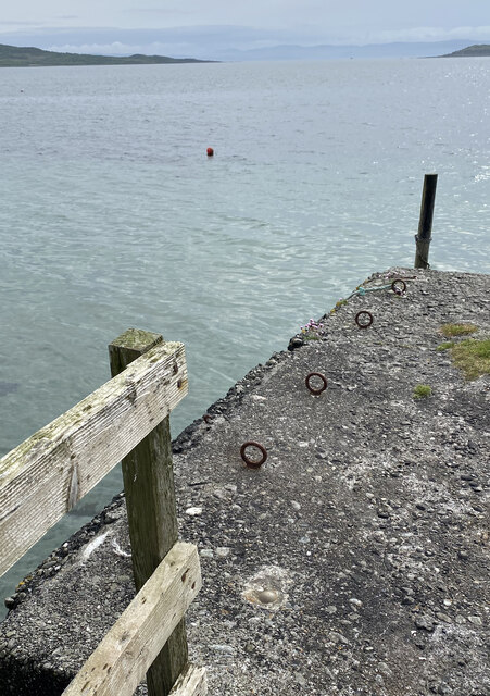
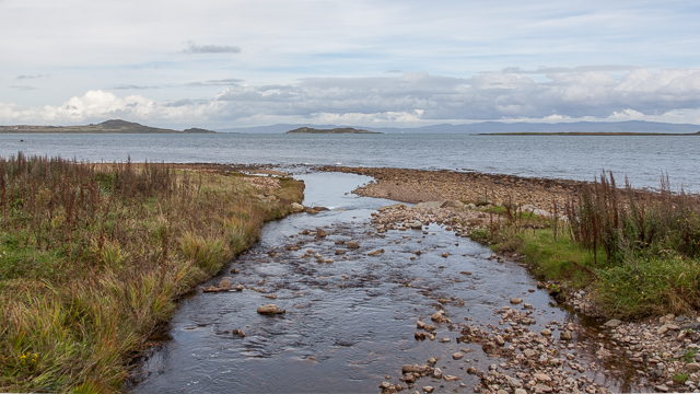
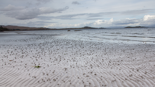
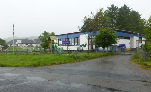
Sròn Mheadhonach Images
Images are sourced within 2km of 55.862258/-5.9439273 or Grid Reference NR5370. Thanks to Geograph Open Source API. All images are credited.
Sròn Mheadhonach is located at Grid Ref: NR5370 (Lat: 55.862258, Lng: -5.9439273)
Unitary Authority: Argyll and Bute
Police Authority: Argyll and West Dunbartonshire
What 3 Words
///driver.hems.stalemate. Near Craighouse, Argyll & Bute
Nearby Locations
Related Wikis

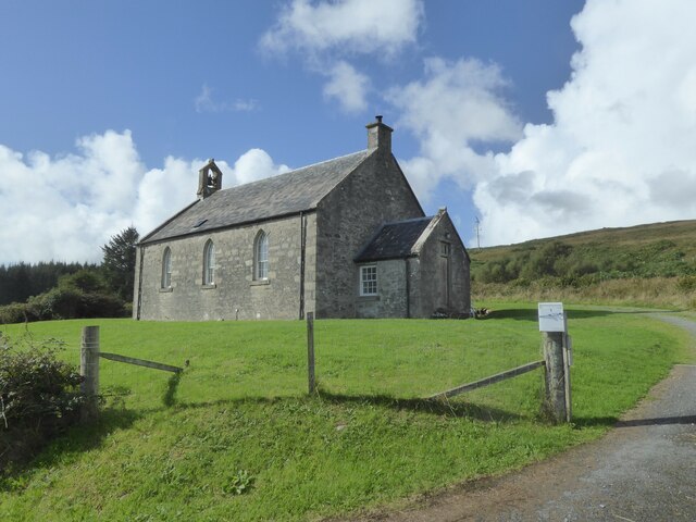
Keils
Keils formerly Kilearnadill is a hamlet 0.25 miles (0.40 km) from Craighouse on the island of Jura, in the council area of Argyll and Bute, Scotland. Keils...

Small Isles, Argyll
The Small Isles are a group of uninhabited islands east of Jura, in the council area of Argyll and Bute, Scotland. From south to north, the five islands...

Knockrome
Knockrome is a hamlet on the island of Jura, in the civil parish of Jura, in the council area of Argyll and Bute, Scotland. On the 1982 OS 1:10000 map...

Ardfernal
Ardfernal (Scottish Gaelic: Àird Fheàrnail) is a hamlet on the island of Jura in Argyll and Bute, Scotland. The township had 16 buildings in 1882 and 9...
Nearby Amenities
Located within 500m of 55.862258,-5.9439273Have you been to Sròn Mheadhonach?
Leave your review of Sròn Mheadhonach below (or comments, questions and feedback).