Sròn Gharbh

Landscape Feature in Inverness-shire

Scotland

Sròn Gharbh

A863 near Crossal
A863 near Crossal Credit: Steven Brown

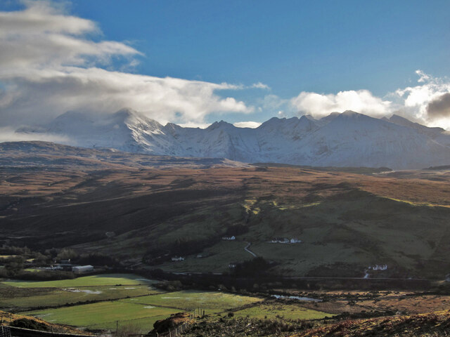
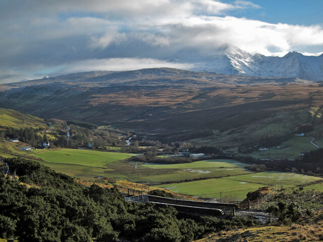
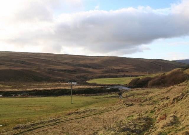
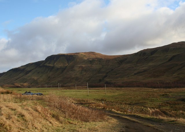
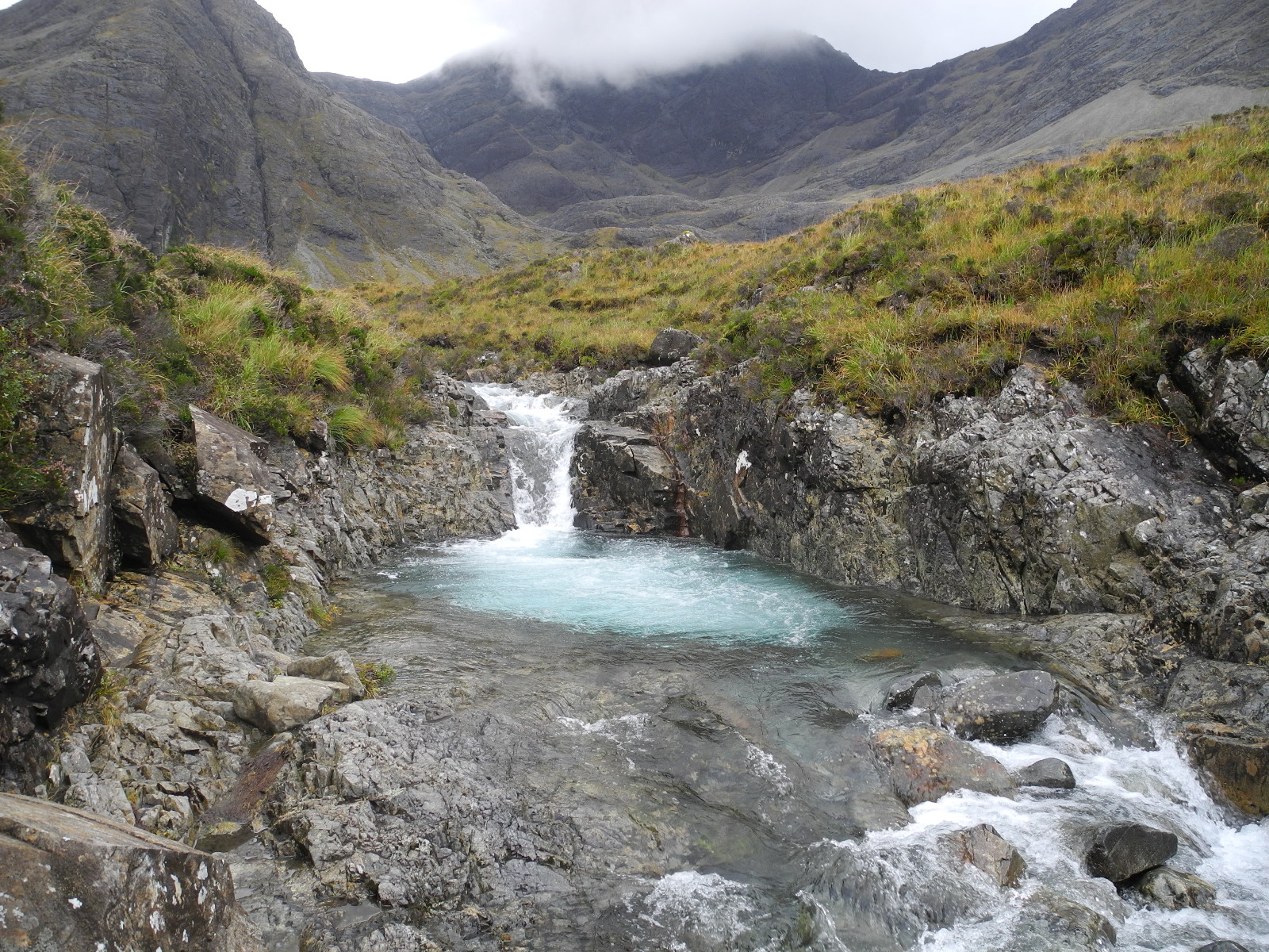
Sròn Gharbh is a prominent landscape feature located in Inverness-shire, Scotland. It is a rugged and picturesque hill that stands at an elevation of approximately 868 meters (2,848 feet) above sea level. The name "Sròn Gharbh" translates to "rough nose" in Scottish Gaelic, which aptly describes the distinct shape and texture of this landscape feature.

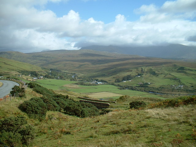
The hill is situated within the Scottish Highlands, surrounded by a stunning natural environment. Its slopes are covered in a mixture of heather, grasses, and scattered rocky outcrops, creating a diverse and visually striking landscape. The summit of Sròn Gharbh offers breathtaking panoramic views of the surrounding glens, lochs, and mountains, making it a popular destination for hikers and nature enthusiasts.

The terrain of Sròn Gharbh is challenging, with steep slopes and rocky sections, requiring a moderate level of fitness and experience. However, the rewards are worth the effort, as the summit provides an unparalleled opportunity to witness the beauty and grandeur of the Scottish Highlands.

This landscape feature is a haven for flora and fauna, supporting a variety of plant species, including heather, mosses, and wildflowers. It is also home to a diverse range of wildlife, such as red deer, mountain hares, and golden eagles, adding to the natural allure of Sròn Gharbh.

Overall, Sròn Gharbh is a captivating and awe-inspiring landscape feature in Inverness-shire, offering visitors a chance to immerse themselves in the rugged beauty of the Scottish Highlands.

If you have any feedback on the listing, please let us know in the comments section below.
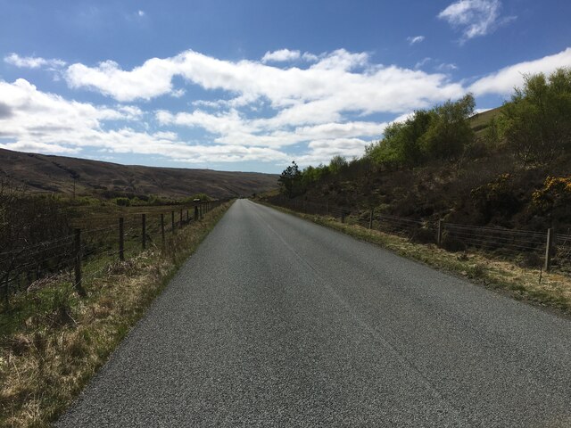
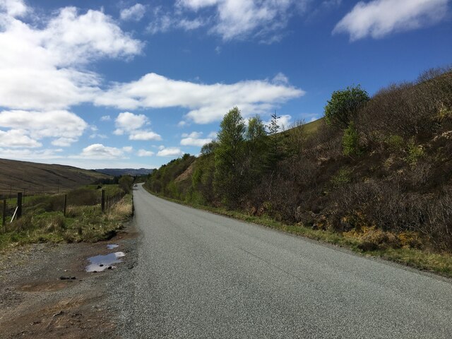
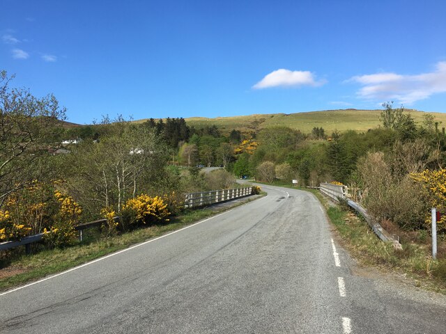
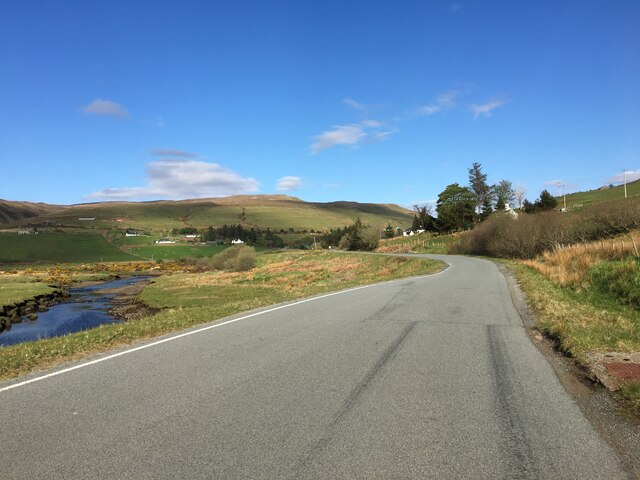
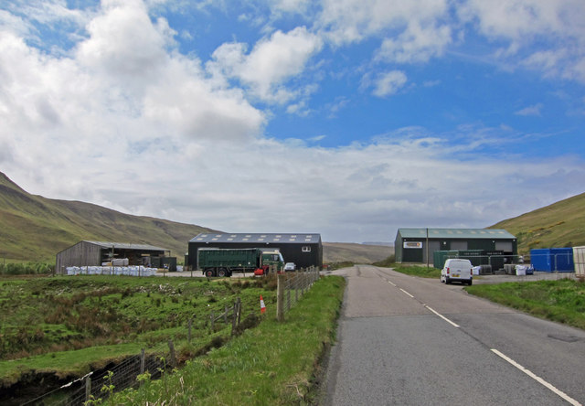
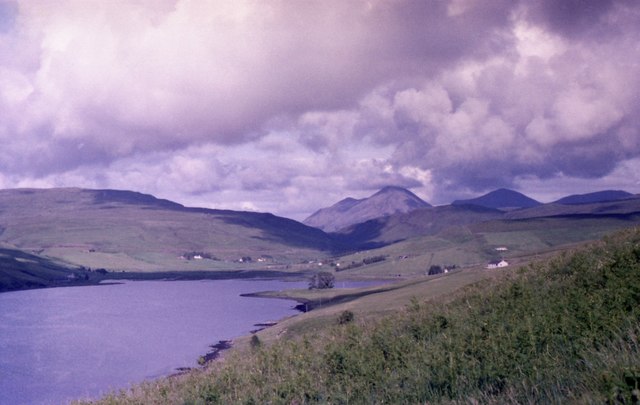
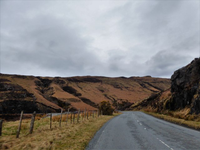
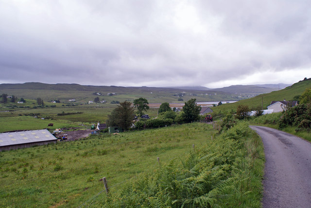
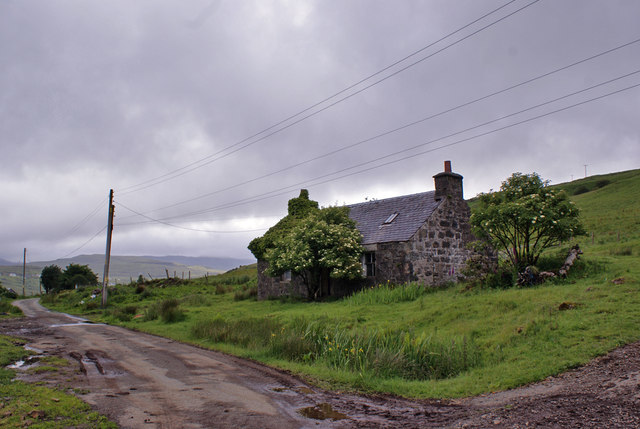
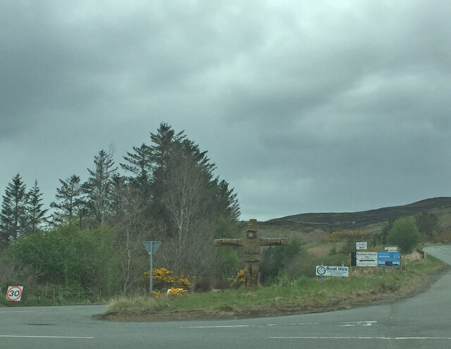
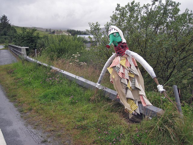
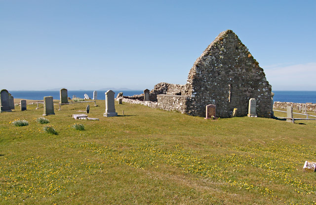
Sròn Gharbh Images

Images are sourced within 2km of 57.30099/-6.2807149 or Grid Reference NG4231. Thanks to Geograph Open Source API. All images are credited.

A863 near Crossal
A863 near Crossal
A836 in Glen Drynoch
B8009 crossing River Drynoch
B8009 near Satran
B8009 near Satran
Industry at Crossal Historically, the wide, flat valley at Crossal was the site of a major cattle market. But times have moved on. The grazing land hereabouts is now used almost exclusively for sheep, and the valley has become an unlikely home for a development of several large green warehouse buildings. 
In this image, the building on the right was formerly a garage (see <a href="https://www.geograph.org.uk/photo/126960">NG4431 : Garage in Glen Drynoch</a>), but is now a storage and freight forwarding facility for the Portree-based business, Jans. The first building on the left is also a storage warehouse, while the open-fronted building beyond belongs to James MacQueen, a Skye-based building firm.
Industry at Crossal
Historically, the wide, flat valley at Crossal was the site of a major cattle market. But times have moved on. The grazing land hereabouts is now used almost exclusively for sheep, and the valley has become an unlikely home for a development of several large green warehouse buildings. In this image, the building on the right was formerly a garage (see NG4431 : Garage in Glen Drynoch), but is now a storage and freight forwarding facility for the Portree-based business, Jans. The first building on the left is also a storage warehouse, while the open-fronted building beyond belongs to James MacQueen, a Skye-based building firm.
The head of Loch Harport Seen from Carbost.
The head of Loch Harport
Seen from Carbost.
A863 at Drynoch
A863 at Drynoch
Descending towards Drynoch The road only serves a farm and a few cottages, and ends half a mile beyond here.
Descending towards Drynoch
The road only serves a farm and a few cottages, and ends half a mile beyond here.
No longer habitable Although substantially complete, this tiny cottage in Drynoch is no longer fit for habitation.
No longer habitable
Although substantially complete, this tiny cottage in Drynoch is no longer fit for habitation.
View towards Satran Looking south from a viewpoint beside the A863 just north of Drynoch. The low sun lights the floodplain of the river Drynoch, while houses in Satran are in shadow. The snow-clad Cuillin rise beyond.
View towards Satran
Looking south from a viewpoint beside the A863 just north of Drynoch. The low sun lights the floodplain of the river Drynoch, while houses in Satran are in shadow. The snow-clad Cuillin rise beyond.
Glen Drynoch A view south east from a viewpoint alongside the A863 just north of Drynoch.
In the foreground is a bridge in one of the former alignments of the main road.
Similar view, different season: <a href="https://www.geograph.org.uk/photo/4037863">NG4032 : Low clouds over Drynoch</a>.
Glen Drynoch
A view south east from a viewpoint alongside the A863 just north of Drynoch. In the foreground is a bridge in one of the former alignments of the main road. Similar view, different season: NG4032 : Low clouds over Drynoch.
Carved wood Tattie Bogle Scarecrow
Drynoch Meander A meander of the River Drynoch.
Drynoch Meander
A meander of the River Drynoch.
Glen Drynoch A farm access road leading to farmland by the River Drynoch under Beinn Bhreac.
Glen Drynoch
A farm access road leading to farmland by the River Drynoch under Beinn Bhreac.
Tattie in a bus shelter At the junction between the A863 (on the right) and the B8009 for Carbost and Portnalong, this fortune teller is protected from the rain in a bus shelter.
Tattie in a bus shelter
At the junction between the A863 (on the right) and the B8009 for Carbost and Portnalong, this fortune teller is protected from the rain in a bus shelter.
This way for the Tattie Bogal Trail A broad smile lights up the face of this little Tattie, hiding behind a road sign, and pointing the way towards Carbost, near the start of the trail.
This way for the Tattie Bogal Trail
A broad smile lights up the face of this little Tattie, hiding behind a road sign, and pointing the way towards Carbost, near the start of the trail.
Leaning Tattie I'm not quite certain what this tattie is meant to be. Maybe a Womble? I just love the watering can head. He is leaning over the safely fence alongside the B8009 bridge over the River Drynoch.
Leaning Tattie
I'm not quite certain what this tattie is meant to be. Maybe a Womble? I just love the watering can head. He is leaning over the safely fence alongside the B8009 bridge over the River Drynoch.
Old road bridge and The Cuillin Hills Near Drynoch
Old road bridge and The Cuillin Hills
Near Drynoch
Show me another place!

Sròn Gharbh is located at Grid Ref: NG4231 (Lat: 57.30099, Lng: -6.2807149)

Unitary Authority: Highland

Police Authority: Highlands and Islands

What 3 Words

///commenced.rising.initiates. Near Carbost, Highland

Nearby Locations

Sròn Gharbh

Related Wikis

Drynoch

Drynoch (Scottish Gaelic: An Droighneach) is a settlement on the south east tip of Loch Harport on the west coast of Skye in the Highlands of Scotland...

Isle of Skye

The Isle of Skye, or simply Skye (; Scottish Gaelic: An t-Eilean Sgitheanach or Eilean a' Cheò), is the largest and northernmost of the major islands in...

Battle of the Spoiling Dyke

The Battle of the Spoiling Dyke (also known as the Battle of the Spoiled Dyke, (Scottish Gaelic: Blar Milleadh a’ Ghàraidh, Millegearaidh) was a Scottish...

Carbost, Loch Harport

Carbost (Scottish Gaelic: Càrrabost) is a village on the south-west shore of Loch Harport on the Minginish peninsula of the Isle of Skye in Scotland....
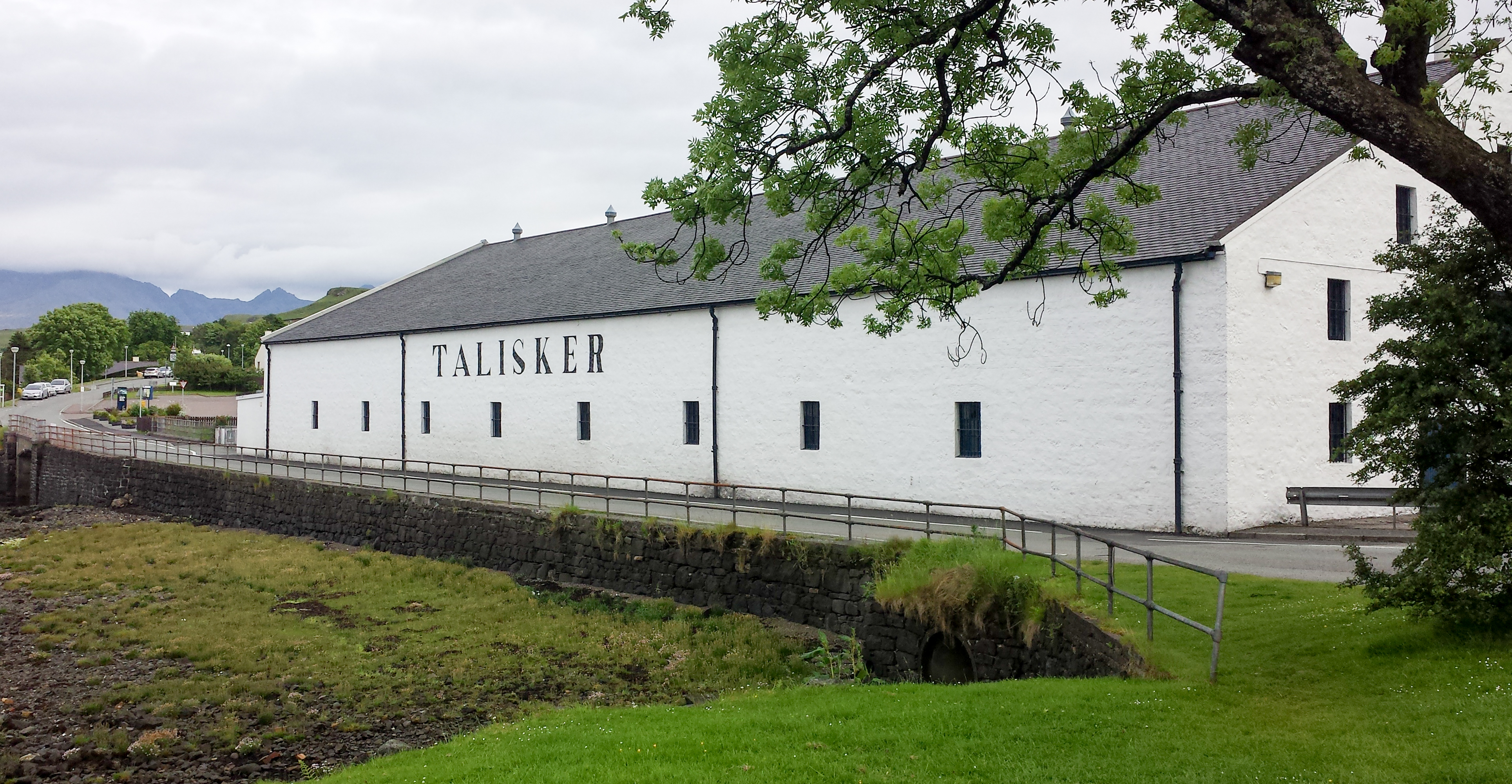
Talisker distillery

Talisker distillery is an island single malt Scotch whisky distillery based in Carbost, Scotland on the Minginish Peninsula on the Isle of Skye. The distillery...

Fairy Pools

The Fairy Pools (Scottish Gaelic: Glumagan nan Sithichean) are a natural waterfall phenomenon in Glen Brittle on the Isle of Skye, on the Allt Coir' a...

Minginish

Minginish (Scottish Gaelic: Minginis) is a peninsula on the Isle of Skye in Scotland. It is situated on the west coast of the island and runs from Loch...

Battle of Coire Na Creiche

The Battle of Coire na Creiche (Battle of Benquhillan) was a Scottish clan battle fought on the Isle of Skye in 1601. It was the culmination of a year...

Nearby Amenities

Located within 500m of 57.30099,-6.2807149
Parking
Source: survey
Lat/Long: 57.2971828/-6.2844773
Power: pole
Lat/Long: 57.2966961/-6.2826909
Power: pole
Lat/Long: 57.2965993/-6.2809437
The data included in this document is from www.openstreetmap.org. The data is made available under ODbL.

Have you been to Sròn Gharbh?

Leave your review of Sròn Gharbh below (or comments, questions and feedback).