Àird Fhreunadail
Landscape Feature in Ross-shire
Scotland
Àird Fhreunadail

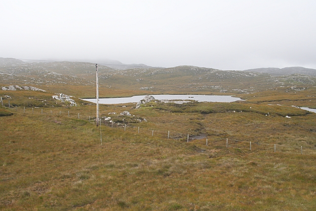
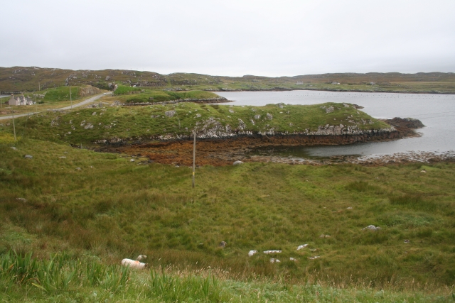
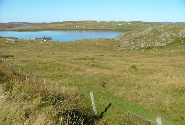
Àird Fhreunadail is a remarkable landscape feature located in Ross-shire, Scotland. Situated on the west coast, it is renowned for its rugged beauty and breathtaking views of the surrounding countryside.
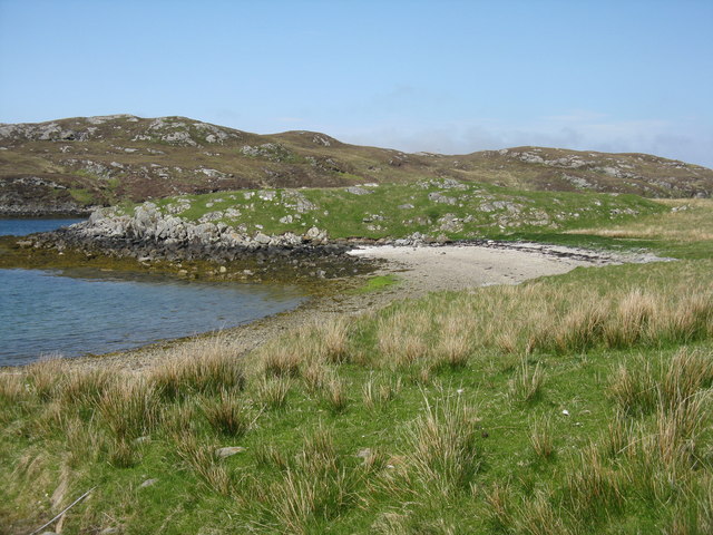
This geographical formation is a promontory that juts out into the North Atlantic Ocean, offering panoramic vistas of the sea and the nearby islands. The area is characterized by steep cliffs that descend dramatically into the crashing waves below, creating a dramatic and awe-inspiring sight.
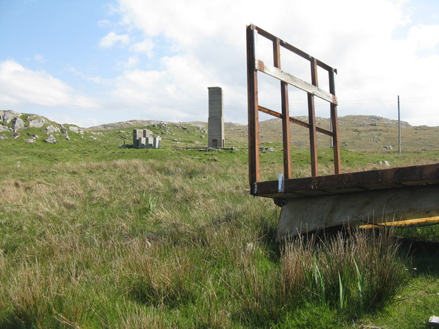
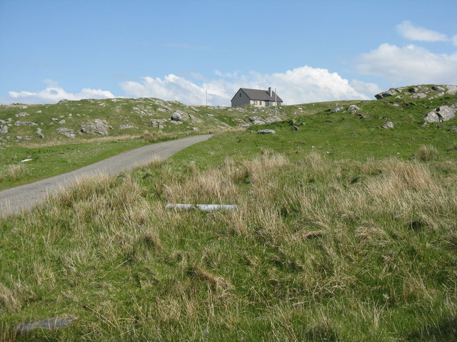
The terrain of Àird Fhreunadail is predominantly rocky and uneven, punctuated by small coves and rocky outcrops. The landscape is covered in lush vegetation, with hardy grasses, heather, and scattered shrubs clinging to the rocky surface. This vegetation provides a vibrant burst of color amidst the otherwise rugged and stark surroundings.
The area is also home to a diverse range of wildlife, including seabirds such as gulls, fulmars, and puffins. These birds can often be seen circling above the cliffs or nesting in the crevices along the rocky shoreline. Seals can be spotted basking on the rocks or swimming in the surrounding waters, adding to the area's natural charm.
Due to its remote location and challenging terrain, Àird Fhreunadail is relatively untouched by human intervention. This has preserved its natural beauty and made it a popular destination for nature enthusiasts and photographers seeking a truly unspoiled landscape.
In conclusion, Àird Fhreunadail is a stunning landscape feature in Ross-shire, offering visitors a glimpse into the untamed beauty of Scotland's west coast. With its rugged cliffs, breathtaking views, and diverse wildlife, it is a must-see for anyone seeking an authentic and awe-inspiring natural experience.
If you have any feedback on the listing, please let us know in the comments section below.
Àird Fhreunadail Images
Images are sourced within 2km of 58.185801/-6.8235692 or Grid Reference NB1632. Thanks to Geograph Open Source API. All images are credited.


Àird Fhreunadail is located at Grid Ref: NB1632 (Lat: 58.185801, Lng: -6.8235692)
Unitary Authority: Na h-Eileanan an Iar
Police Authority: Highlands and Islands
What 3 Words
///credible.retire.toasters. Near Carloway, Na h-Eileanan Siar
Related Wikis

Callanish VIII
The Callanish VIII stone setting is one of many megalithic structures around the better-known (and larger) Calanais I on the west coast of the Isle of...

Dun Bharabhat, Great Bernera
Dun Bharabhat (or Dun Baravat) is an Iron Age galleried dun or "semi-broch" situated on the island of Great Bernera near Lewis in Scotland (grid reference...

Eilean Chearstaidh
Eilean Kearstay (Scottish Gaelic: Eilean Chearstaigh) is an uninhabited island in Loch Roag in the Outer Hebrides of Scotland. It lies south east of Great...
Ceabhaigh
Ceabhaigh is a small island in an arm of Loch Ròg on the west coast of Lewis in the Outer Hebrides of Scotland. It is about 25 hectares (62 acres) in extent...
Loch Ròg
Loch Ròg or Loch Roag is a large sea loch on the west coast of Lewis, Outer Hebrides. It is broadly divided into East Loch Roag and West Loch Roag with...
Fuaigh Beag
Fuaigh Beag or Vuia Be(a)g is an island in the Outer Hebrides. It is off the west coast of Lewis near Great Bernera in Loch Roag. Its name means "little...
Fuaigh Mòr
Fuaigh Mòr (sometimes anglicised as Vuia Mor) is an island in the Outer Hebrides of Scotland. It is off the west coast of Lewis near Great Bernera in...

Callanish Stones
The Callanish Stones (or "Callanish I": Scottish Gaelic: Clachan Chalanais or Tursachan Chalanais) are an arrangement of standing stones placed in a cruciform...
Nearby Amenities
Located within 500m of 58.185801,-6.8235692Have you been to Àird Fhreunadail?
Leave your review of Àird Fhreunadail below (or comments, questions and feedback).