Loch Vallerain

Lake, Pool, Pond, Freshwater Marsh in Inverness-shire

Scotland

Loch Vallerain

Hill path to the Quirang
Hill path to the Quirang Credit: Douglas Nelson

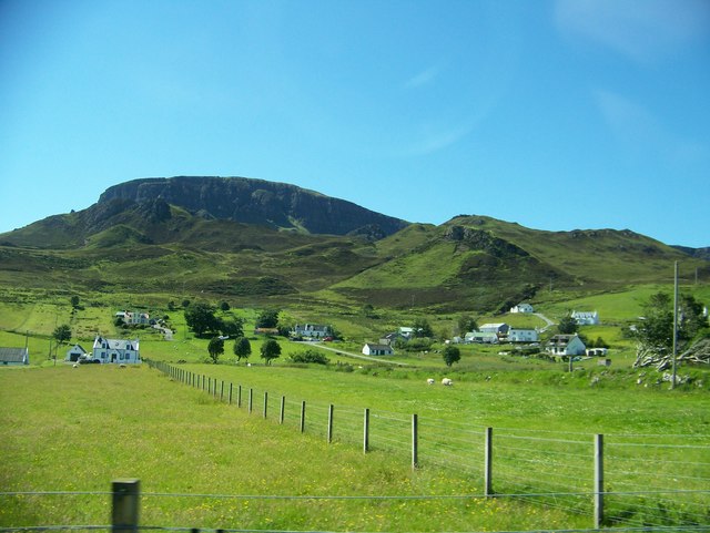
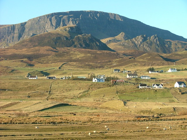
Loch Vallerain is a picturesque freshwater body located in Inverness-shire, Scotland. Situated amidst the stunning Scottish Highlands, this lake offers a serene and tranquil environment for visitors and locals alike.

With a surface area of approximately 20 hectares, Loch Vallerain is relatively small compared to other lochs in the region. However, its size does not diminish its beauty and natural charm. Surrounded by lush greenery and rolling hills, the lake provides a breathtaking backdrop for outdoor enthusiasts and nature lovers.

The crystal-clear waters of Loch Vallerain are fed by several small streams and rainfall, ensuring a constant supply of freshwater. The lake is renowned for its diverse aquatic ecosystem, supporting an array of fish species such as brown trout and pike. Fishing enthusiasts are often seen along the shoreline, casting their lines in hopes of landing a prized catch.

In addition to its fishing opportunities, Loch Vallerain is also a haven for birdwatchers. The surrounding marshes and wetlands attract a variety of waterfowl, including herons, ducks, and swans. It is not uncommon to spot these graceful creatures gliding across the water or nesting in the nearby reeds.

For those seeking a peaceful retreat, Loch Vallerain offers several walking trails that wind their way around the lake. These paths provide an opportunity to immerse oneself in the stunning natural surroundings while enjoying the fresh Highland air. Whether for a leisurely stroll or a more vigorous hike, visitors are sure to find solace and tranquility in the captivating beauty of Loch Vallerain.

If you have any feedback on the listing, please let us know in the comments section below.

Loch Vallerain Images

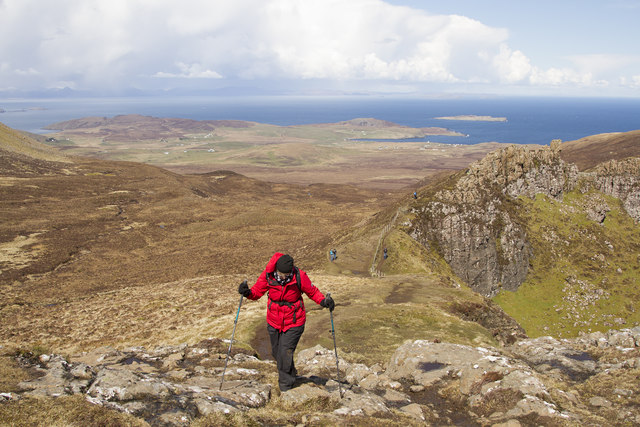
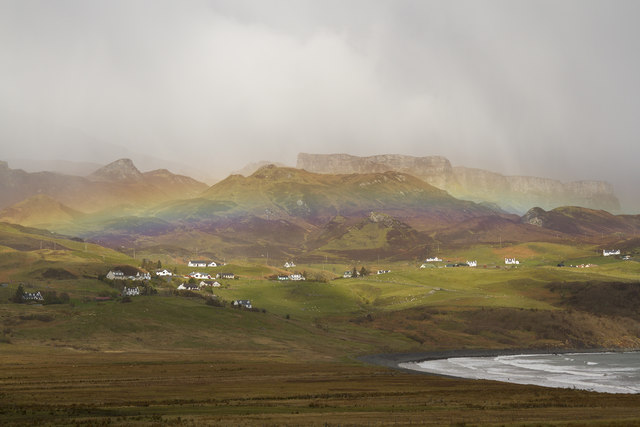
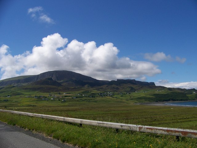
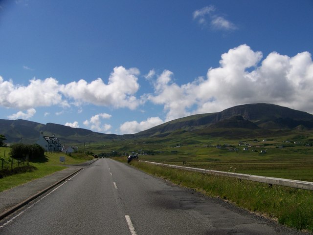
Images are sourced within 2km of 57.644531/-6.2494694 or Grid Reference NG4669. Thanks to Geograph Open Source API. All images are credited.

Hill path to the Quirang
The Needle from below
Morning view to the Quiraing Long shadows from low winter sun show in this view from the escarpment north of Bioda Buidhe.
Morning view to the Quiraing
Long shadows from low winter sun show in this view from the escarpment north of Bioda Buidhe.
The Needle Quiraing A bright morning in the Quiraing after snow which had melted very quickly
The Needle Quiraing
A bright morning in the Quiraing after snow which had melted very quickly
A circular walk around the Quiraing A sunny day in Skye walking around the Quiraing.
A circular walk around the Quiraing
A sunny day in Skye walking around the Quiraing.
Stenscholl view with a rainbow As we drove up to the Quiraing this rainbow appeared over Stenscholl.
Stenscholl view with a rainbow
As we drove up to the Quiraing this rainbow appeared over Stenscholl.
The Quiraing from the footpath This small spectacular range of hills is in the far north of Skye and has some very interesting walks. Ours was made very wet by the melting snow, some of which you can see on the flat topped hills in the middle ground.
The Quiraing from the footpath
This small spectacular range of hills is in the far north of Skye and has some very interesting walks. Ours was made very wet by the melting snow, some of which you can see on the flat topped hills in the middle ground.
The Needle This spectacular pinnacle is called the Needle. If you walk up the steep slope to the side left hand side of the needle you come to a small flat grass covered area called the Table. If you walk up it is a very unexpected sight.
The Needle
This spectacular pinnacle is called the Needle. If you walk up the steep slope to the side left hand side of the needle you come to a small flat grass covered area called the Table. If you walk up it is a very unexpected sight.
Northeast gully dropping from The Table of Quiraing
Looking from Staffin Bay towards the crofts with the Quiraing in the background
A855 at Stenscholl
A855 at Stenscholl
Staffin Bay at Glashvin
The township of Digg
Road junction at Brogaig
Minor road from Uig to Staffin
The Table This area of flat land in the heart of the Quiraing lies partly in this and partly in the adjoining square.    It is said to have been the venue for an annual shinty match which must have been a rather hazardous undertaking.
The Table
This area of flat land in the heart of the Quiraing lies partly in this and partly in the adjoining square. It is said to have been the venue for an annual shinty match which must have been a rather hazardous undertaking.
The Prison
The Prison
Gully in the Quiraing
Show me another place!

Loch Vallerain is located at Grid Ref: NG4669 (Lat: 57.644531, Lng: -6.2494694)

Unitary Authority: Highland

Police Authority: Highlands and Islands

Also known as: Loch Bhalarain

What 3 Words

///expel.gift.ratio. Near Uig, Highland

Related Wikis

Quiraing

The Quiraing (Scottish Gaelic: A' Chuith-Raing) is a landslip on the eastern face of Meall na Suiramach, the northernmost summit of the Trotternish on...

Trotternish

Trotternish or Tròndairnis (Scottish Gaelic) is the northernmost peninsula of the Isle of Skye, in Scotland. Its most northerly point, Rubha Hùinis, is...

Brogaig

Brogaig (Scottish Gaelic: Brògaig), Norse for Burgh Bay, is a small coastal village, on the northwest coast of the Trotternish peninsula, close to Staffin...

Flodigarry

Flodigarry (Scottish Gaelic: Flòdaigearraidh) is a scattered settlement on the north east side of the Trotternish peninsula on the island of Skye, and...

Nearby Amenities

Located within 500m of 57.644531,-6.2494694
Digg
Name Gd: An Dig
Place: hamlet
Source: survey
Lat/Long: 57.6417968/-6.243481
Parking
Lat/Long: 57.6468207/-6.2429566
Bus Stop
Digg, Road End
Bus: yes
Naptan AtcoCode: 670088
Naptan NaptanCode: 45343268
Public Transport: platform
Lat/Long: 57.6427722/-6.2420168
Power: pole
Lat/Long: 57.6409108/-6.2447076
Power: pole
Lat/Long: 57.6413557/-6.2443755
Power: pole
Lat/Long: 57.6405736/-6.2484477
Power: pole
Lat/Long: 57.6410778/-6.2491845
Power: pole
Lat/Long: 57.6416596/-6.2500259
Power: pole
Lat/Long: 57.6422974/-6.249567
Power: pole
Lat/Long: 57.6428748/-6.2492086
Power: pole
Lat/Long: 57.6435514/-6.2487618
Power: pole
Lat/Long: 57.6442732/-6.2482907
Power: pole
Lat/Long: 57.6449626/-6.2478841
Power: pole
Lat/Long: 57.6452513/-6.2475781
Power: pole
Lat/Long: 57.6457792/-6.247091
Power: pole
Lat/Long: 57.6461864/-6.24662
Power: pole
Lat/Long: 57.6468026/-6.2458953
Power: pole
Lat/Long: 57.6451371/-6.2468776
Power: pole
Lat/Long: 57.6450467/-6.246161
Power: pole
Lat/Long: 57.64487/-6.2449572
Power: pole
Lat/Long: 57.6446524/-6.2440635
Power: pole
Lat/Long: 57.644452/-6.2431818
Power: pole
Lat/Long: 57.6441288/-6.245072
Power: pole
Lat/Long: 57.6440383/-6.2457926
Power: pole
Lat/Long: 57.6439457/-6.2465857
Power: pole
Lat/Long: 57.6436839/-6.2469702
Power: pole
Lat/Long: 57.6433747/-6.247409
Power: pole
Lat/Long: 57.6434253/-6.247874
Power: pole
Lat/Long: 57.6473476/-6.2462476
Power: pole
Lat/Long: 57.6476751/-6.2464549
Power: pole
Lat/Long: 57.6482869/-6.2468213
Power: pole
Lat/Long: 57.6487652/-6.2471353
Barrier: cattle_grid
Lat/Long: 57.6440535/-6.2444836
Archaeological Site: hut_circle
Historic: archaeological_site
Lat/Long: 57.6454954/-6.2484151
Archaeological Site: hut_circle
Historic: archaeological_site
Lat/Long: 57.645293/-6.2481388
Barrier: cattle_grid
Lat/Long: 57.6426682/-6.2421914
The data included in this document is from www.openstreetmap.org. The data is made available under ODbL.

Have you been to Loch Vallerain?

Leave your review of Loch Vallerain below (or comments, questions and feedback).