Bishops' Loch
Lake, Pool, Pond, Freshwater Marsh in Aberdeenshire
Scotland
Bishops' Loch
Bishops' Loch is a picturesque freshwater loch located in Aberdeenshire, Scotland. Nestled amidst rolling hills and lush greenery, this natural water body spans approximately 1.5 acres, making it a modest-sized loch in the region. The loch is situated near the small village of Banchory-Devenick, offering visitors a tranquil and serene retreat away from the bustling city life.
Surrounded by a diverse range of flora and fauna, Bishops' Loch is a haven for wildlife enthusiasts and nature lovers. The loch boasts an abundance of aquatic plants, creating an ideal habitat for various species of waterfowl, including ducks, swans, and geese. Additionally, the loch is home to a variety of freshwater fish, such as trout and perch, attracting anglers from near and far.
The calm and clear waters of Bishops' Loch also make it a popular spot for recreational activities. Visitors can indulge in fishing, boating, or simply enjoy a leisurely stroll along the tranquil shoreline. The scenic beauty of the loch provides ample opportunities for photography enthusiasts to capture the breathtaking landscapes and the wildlife in their natural habitat.
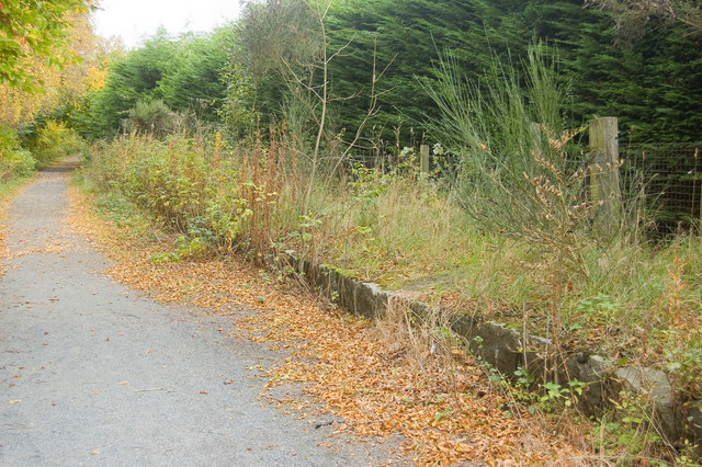
Bishops' Loch is easily accessible, with a car park and footpaths surrounding the area, ensuring convenient access for visitors. The loch's natural beauty, combined with its peaceful atmosphere, makes it an ideal destination for those seeking solace in nature or looking to engage in outdoor activities in Aberdeenshire.
If you have any feedback on the listing, please let us know in the comments section below.
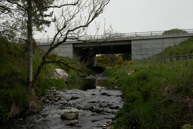
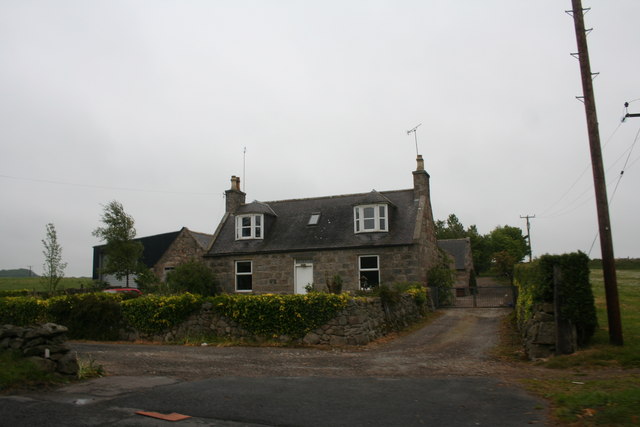
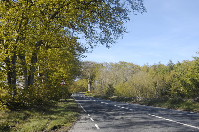
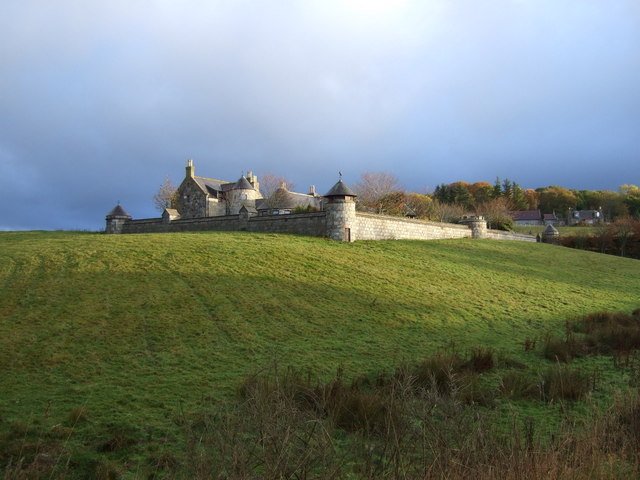
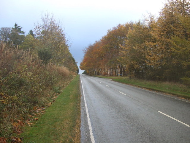
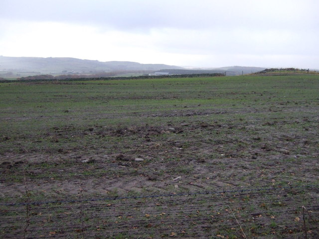
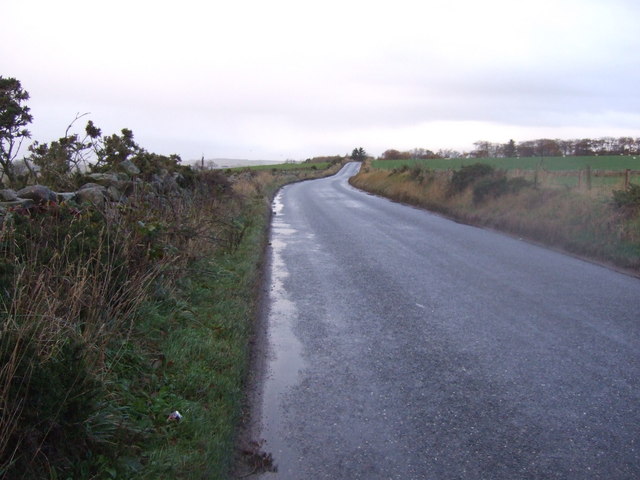
Bishops' Loch Images
Images are sourced within 2km of 57.218688/-2.1484943 or Grid Reference NJ9114. Thanks to Geograph Open Source API. All images are credited.


Bishops' Loch is located at Grid Ref: NJ9114 (Lat: 57.218688, Lng: -2.1484943)
Unitary Authority: Aberdeenshire
Police Authority: North East
Also known as: Loch Goul
What 3 Words
///nicer.coiling.relieves. Near Dyce, Aberdeen
Nearby Locations
Related Wikis
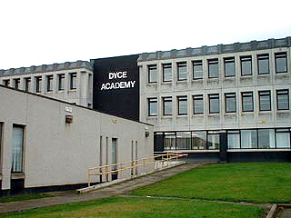
Dyce Academy
Dyce Academy is the only state secondary school in Dyce, a small suburb of Aberdeen, serving as the sole provider of secondary education in the area. Dyce...
Parkhill railway station
Parkhill railway station was a railway station in Parkhill, Aberdeenshire. == History == The station was opened on 18 July 1861 by the Formartine and Buchan...

Dyce F.C.
Dyce Football Club (formerly Dyce Juniors Football Club) are a Scottish football club from Dyce, a suburb of Aberdeen. Members of the Scottish Junior...
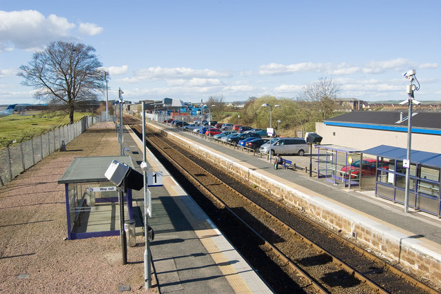
Dyce railway station
Dyce railway station is a railway station serving the suburb of Dyce, Aberdeen, Scotland. The station is managed by ScotRail and is on the Aberdeen to...
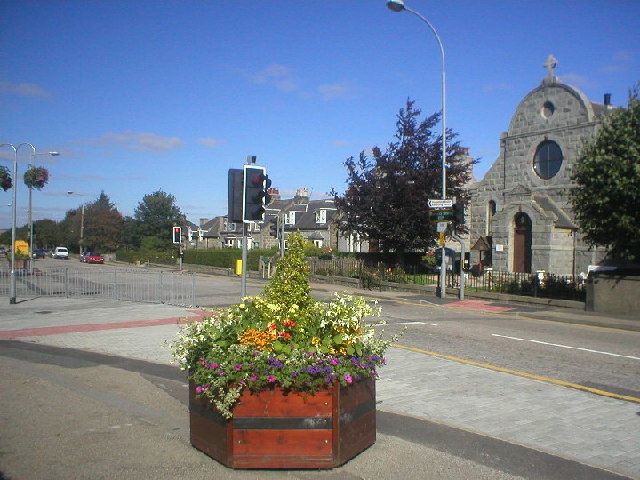
Dyce
Dyce (Scottish Gaelic: Deis) is a suburb of Aberdeen, Scotland, situated on the River Don about 6 mi (10 km) northwest of the city centre. It is best known...

Scotstown Moor
Scotstown Moor is in the north of Aberdeen, Scotland. Scotstown Moor Local Nature Reserve (LNR) is located four miles to the north of Aberdeen City Centre...
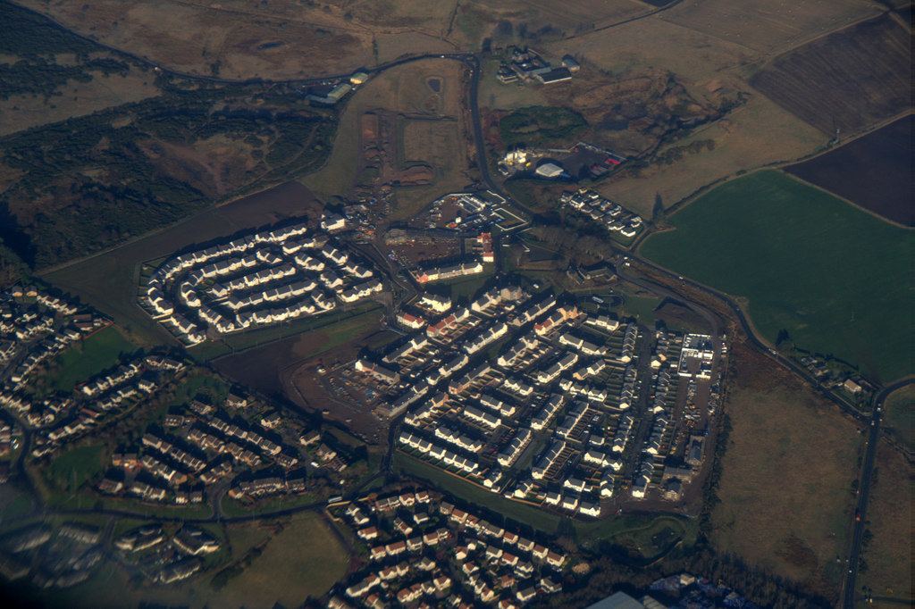
Dubford, Aberdeen
Dubford is a housing estate of approximately 550 homes, north of Denmore within the Bridge of Don suburb in the north of Aberdeen, Scotland. Dubford takes...
Aberdeen Airport
Aberdeen International Airport (Scottish Gaelic: Port-adhair Eadar-nàiseanta Obar Dheathain) (IATA: ABZ, ICAO: EGPD) is an international airport, located...
Nearby Amenities
Located within 500m of 57.218688,-2.1484943Have you been to Bishops' Loch?
Leave your review of Bishops' Loch below (or comments, questions and feedback).