Bearded Lake
Lake, Pool, Pond, Freshwater Marsh in Merionethshire
Wales
Bearded Lake

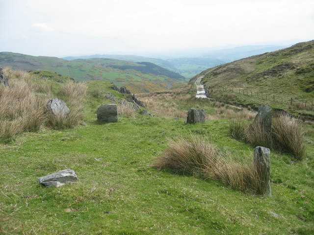
Bearded Lake, located in Merionethshire, is a picturesque body of water that encompasses various natural habitats, including a lake, pool, pond, and freshwater marsh. Spanning an area of approximately 50 acres, this stunning landscape is a haven for both wildlife and nature enthusiasts alike.
The lake itself is surrounded by lush greenery, with its crystal-clear waters reflecting the towering mountains in the distance. Its depth varies from shallow areas, where aquatic plants thrive, to deeper sections, providing a diverse habitat for a wide array of aquatic species. The lake is fed by several small streams that trickle down from the surrounding hills, ensuring a constant flow of fresh water.
Adjacent to the lake is a pool, which serves as a breeding ground for many amphibians. The pool is teeming with life, hosting a variety of frogs, toads, and newts. It provides a safe haven for these creatures to lay their eggs, ensuring their survival for future generations.
Connected to the pool is a pond, which offers a habitat for a multitude of aquatic insects, such as dragonflies and water beetles. This thriving ecosystem not only sustains these fascinating creatures but also attracts a diverse range of bird species that rely on them for sustenance.
Lastly, the freshwater marsh situated within the vicinity of Bearded Lake is a wetland area characterized by its reed beds and wide array of plant life. This marshland is a vital breeding ground for many bird species, providing them with an abundance of food and nesting sites.
Overall, Bearded Lake in Merionethshire is a haven of natural beauty, hosting various habitats that support a rich and diverse range of wildlife. It serves as a testament to the importance of preserving and protecting these fragile ecosystems for future generations to enjoy and appreciate.
If you have any feedback on the listing, please let us know in the comments section below.
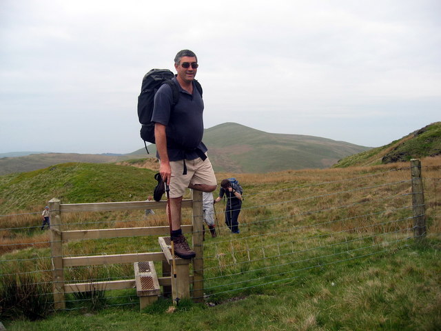
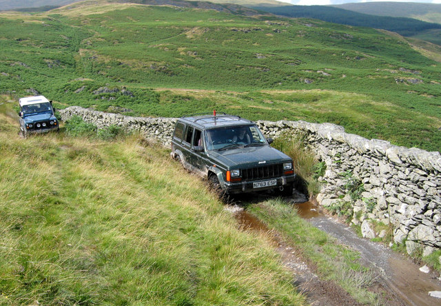
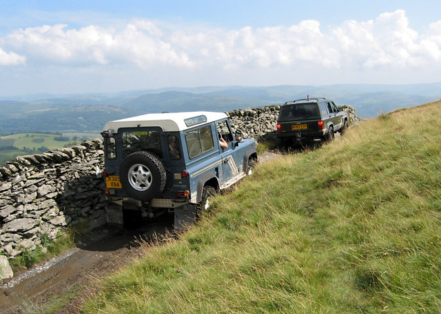
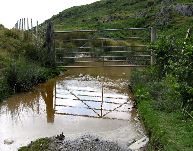
Bearded Lake Images
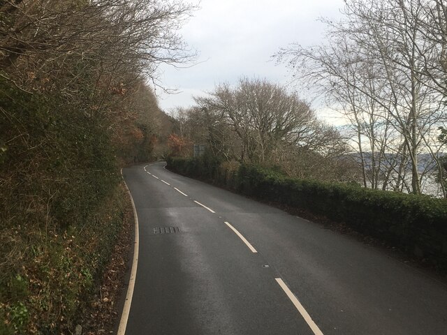
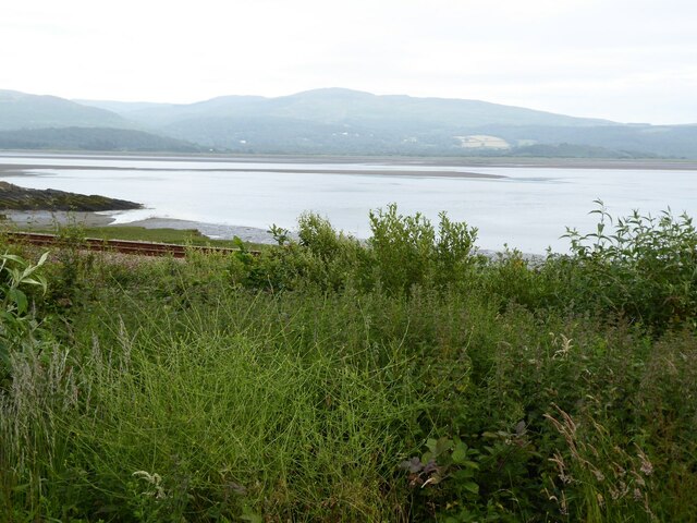
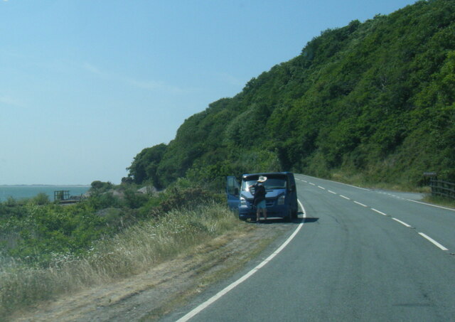
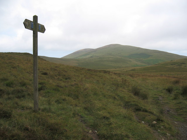
Images are sourced within 2km of 52.569889/-3.9890135 or Grid Reference SN6598. Thanks to Geograph Open Source API. All images are credited.


Bearded Lake is located at Grid Ref: SN6598 (Lat: 52.569889, Lng: -3.9890135)
Unitary Authority: Gwynedd
Police Authority: North Wales
Also known as: Llyn Barfog
What 3 Words
///deflated.pianists.tallest. Near Tywyn, Gwynedd
Nearby Locations
Related Wikis

Frongoch quarry, Aberdyfi
Frongoch slate quarry (also known as Fron-goch slate quarry or Fron-gôch slate quarry) was a slate quarry and mine in Mid Wales, approximately halfway...
Abertafol railway station
Abertafol railway station was a halt located on the north shore of the Dyfi estuary in the old Welsh county of Merionethshire (south Gwynedd). == History... ==

Hen Dyffryn Gwyn
Hen Dyffryn Gwyn is a Grade II* listed building in Tywyn, Gwynedd. The house has been dated to 1640 and is listed for being a well-preserved example of...

Gogarth railway station
Gogarth railway station served a sparsely populated area on the north shore of the Dyfi estuary in the Welsh county of Merionethshire. == History == Opened...
Nearby Amenities
Located within 500m of 52.569889,-3.9890135Have you been to Bearded Lake?
Leave your review of Bearded Lake below (or comments, questions and feedback).