Llyn Barfog
Lake, Pool, Pond, Freshwater Marsh in Merionethshire
Wales
Llyn Barfog

Llyn Barfog, also known as the "Bearded Lake," is a small freshwater lake located in Merionethshire, Wales. Nestled within the southern slopes of the Rhinog Fawr mountain range, it sits at an elevation of approximately 1,000 feet. The lake covers an area of around 22 acres and has an average depth of 10 feet.
The name "Barfog" derives from the Welsh word for "bearded," which refers to the tufts of vegetation that grow along the lake's banks, giving it a distinctive appearance. These tufts are formed by rushes and sedges that thrive in the rich, marshy soil surrounding the lake.
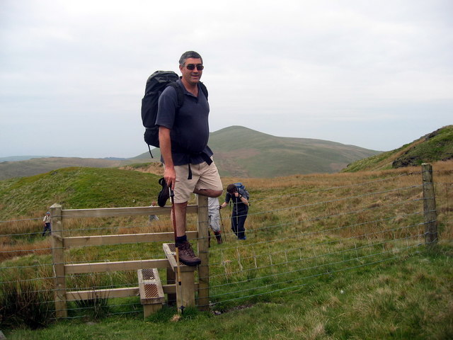
Llyn Barfog is a popular destination for nature enthusiasts, hikers, and anglers alike. Surrounded by breathtaking mountain scenery, it offers a tranquil setting for relaxation and exploration. The area boasts a diverse range of flora and fauna, including various species of waterfowl, dragonflies, and butterflies.
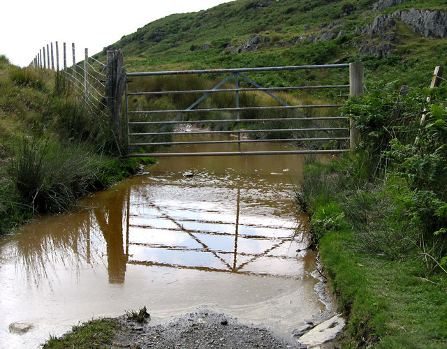
The lake is fed by small streams and springs that flow down from the surrounding hillsides, ensuring a constant supply of fresh water. The water is generally clear and supports a healthy population of fish, including brown trout, which attracts anglers throughout the year.
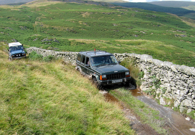
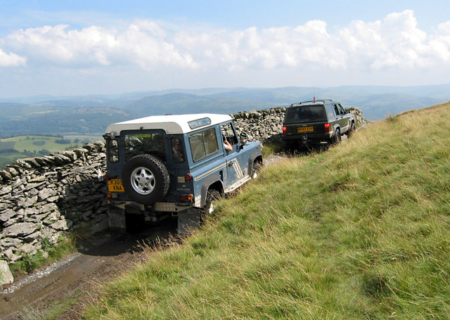
Access to Llyn Barfog is relatively easy, with a public footpath leading to the lake from the nearby village of Tal-y-bont. However, visitors are advised to be mindful of the fragile ecosystem and to take care when exploring the area.
In summary, Llyn Barfog is a picturesque freshwater lake nestled in the scenic landscape of Merionethshire. Its unique name and distinctive vegetation make it a notable spot for nature lovers and adventurers seeking a peaceful retreat in the heart of Wales.
If you have any feedback on the listing, please let us know in the comments section below.
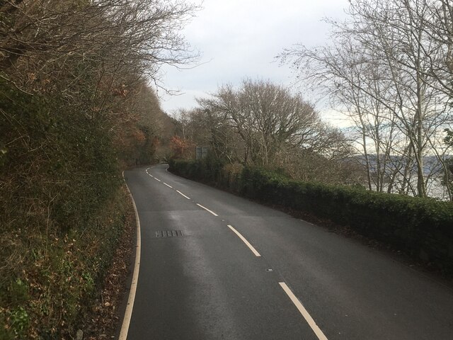
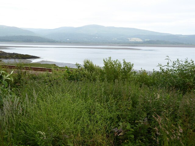
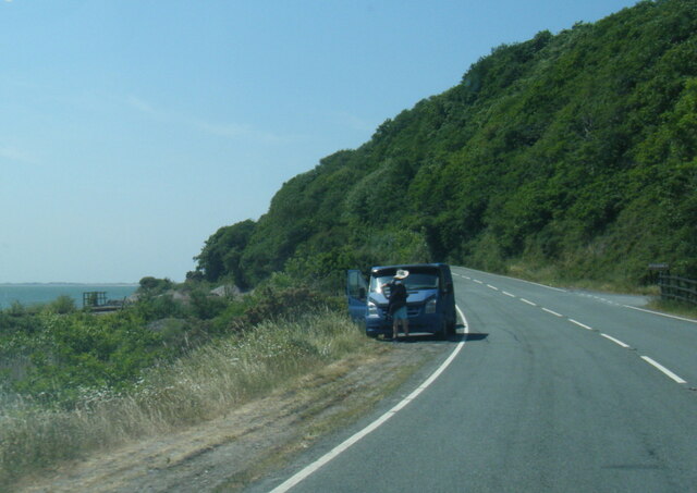
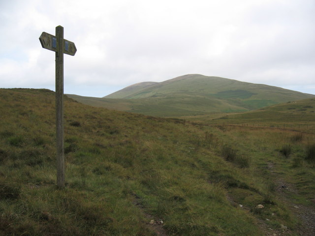
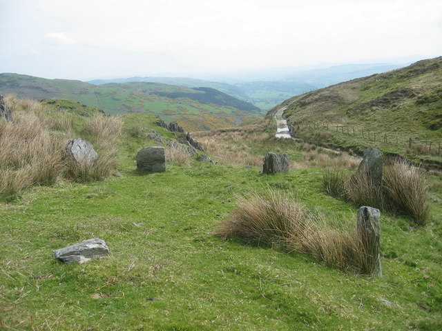
Llyn Barfog Images
Images are sourced within 2km of 52.569889/-3.9890135 or Grid Reference SN6598. Thanks to Geograph Open Source API. All images are credited.


Llyn Barfog is located at Grid Ref: SN6598 (Lat: 52.569889, Lng: -3.9890135)
Unitary Authority: Gwynedd
Police Authority: North Wales
Also known as: Bearded Lake
What 3 Words
///deflated.pianists.tallest. Near Tywyn, Gwynedd
Nearby Locations
Related Wikis

Frongoch quarry, Aberdyfi
Frongoch slate quarry (also known as Fron-goch slate quarry or Fron-gôch slate quarry) was a slate quarry and mine in Mid Wales, approximately halfway...
Abertafol railway station
Abertafol railway station was a halt located on the north shore of the Dyfi estuary in the old Welsh county of Merionethshire (south Gwynedd). == History... ==

Hen Dyffryn Gwyn
Hen Dyffryn Gwyn is a Grade II* listed building in Tywyn, Gwynedd. The house has been dated to 1640 and is listed for being a well-preserved example of...

Gogarth railway station
Gogarth railway station served a sparsely populated area on the north shore of the Dyfi estuary in the Welsh county of Merionethshire. == History == Opened...
Nearby Amenities
Located within 500m of 52.569889,-3.9890135Have you been to Llyn Barfog?
Leave your review of Llyn Barfog below (or comments, questions and feedback).