Crossing Water
Lake, Pool, Pond, Freshwater Marsh in Norfolk South Norfolk
England
Crossing Water

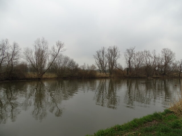
Crossing Water, Norfolk is a scenic freshwater marsh located in the eastern region of England. Spanning across a vast area, it is characterized by its pristine lake, pool, pond, and marsh ecosystem. The name "Crossing Water" is derived from the intricate network of waterways that crisscross the area, offering a serene and picturesque setting.
The main attraction of Crossing Water is its expansive lake, which serves as the centerpiece of the landscape. The lake boasts crystal-clear waters, creating a stunning reflection of the surrounding lush vegetation. It provides a habitat for various species of freshwater fish, making it a popular spot for fishing enthusiasts.
Adjacent to the lake, a smaller pool and pond can be found, adding to the diverse aquatic environment. These smaller bodies of water are teeming with aquatic plants and insects, attracting a plethora of bird species, including herons, ducks, and swans. As a result, Crossing Water is a haven for birdwatchers and nature enthusiasts.
The freshwater marsh in Crossing Water is an integral part of its ecosystem. It is characterized by its marshy vegetation, including reeds, grasses, and sedges, which provide a vital habitat for a multitude of amphibians, reptiles, and small mammals. The marsh also acts as a natural filtration system, purifying the water and maintaining the overall health of the ecosystem.
Crossing Water, Norfolk offers visitors a unique opportunity to immerse themselves in nature and enjoy the tranquility of a freshwater environment. Its diverse range of habitats, including the lake, pool, pond, and marsh, make it an ideal destination for those seeking solace in the beauty of the natural world.
If you have any feedback on the listing, please let us know in the comments section below.
Crossing Water Images
Images are sourced within 2km of 52.48016/1.592681 or Grid Reference TM4492. Thanks to Geograph Open Source API. All images are credited.


Crossing Water is located at Grid Ref: TM4492 (Lat: 52.48016, Lng: 1.592681)
Administrative County: Norfolk
District: South Norfolk
Police Authority: Norfolk
What 3 Words
///fairway.consonant.pebbles. Near Beccles, Suffolk
Nearby Locations
Related Wikis

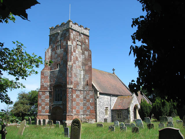
Stanley and Alder Carrs, Aldeby
Stanley and Alder Carrs, Aldeby is a 42.7-hectare (106-acre) biological Site of Special Scientific Interest east of Gillingham in Norfolk. It is part of...

Aldeby
Aldeby is a village and civil parish in the English county of Norfolk. It is bounded to the south by the River Waveney, on the other side of which is Suffolk...

Toft Monks
Toft Monks is a village and parish in Norfolk, England. It is located on the border of Norfolk and Suffolk about eleven miles southwest of Great Yarmouth...

Aldeby railway station
Aldeby railway station was a station in Aldeby, in the English county of Norfolk. It was on the line between Great Yarmouth and Beccles; the station was...
Wheatacre
Wheatacre is a civil parish in the English county of Norfolk. It covers an area of 4.38 km2 (1.69 sq mi) and had a population of 112 in 43 households at...

Worlingham Hall
Worlingham Hall is a Grade I listed Georgian country house in Worlingham, 1 mile (1.6 km) to the east of Beccles in the English county of Suffolk. The...
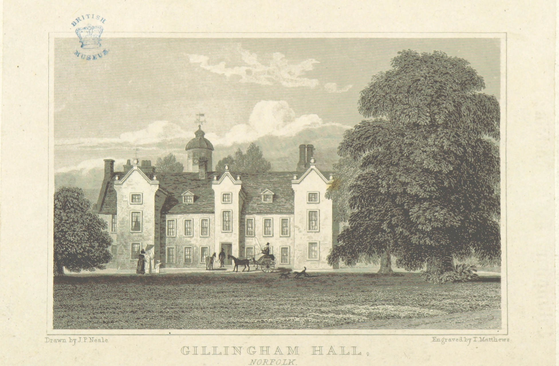
Gillingham Hall
Gillingham Hall is a Jacobean manor house in the village of Gillingham, Norfolk, England. It is a Grade II* Listed Building.The house has 10-bedrooms and...

Beccles railway station
Beccles railway station is on the East Suffolk Line in the east of England, serving the town of Beccles, Suffolk. It is 40 miles 34 chains (65.1 km) down...
Have you been to Crossing Water?
Leave your review of Crossing Water below (or comments, questions and feedback).