Greendykes
Settlement in Midlothian
Scotland
Greendykes
Greendykes is a small residential area located in Midlothian, Scotland. Situated about 9 miles southeast of Edinburgh city center, it is part of the larger community of Craigmillar.
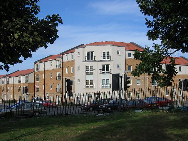
Primarily consisting of low-rise flats and houses, Greendykes is home to a diverse mix of residents. The area has undergone significant regeneration in recent years, with new housing developments and improved infrastructure. This has contributed to a more vibrant and modern atmosphere in the neighborhood.
Greendykes benefits from its proximity to a range of amenities and services. The nearby Fort Kinnaird Retail Park provides residents with a variety of shopping options, including popular high street stores, restaurants, and a cinema. Additionally, the area boasts several green spaces, such as Greendykes Park, which offers recreational facilities including a playground and sports fields.
Transport links in Greendykes are convenient, with regular bus services connecting the area to Edinburgh city center and other nearby towns. The nearest train station, Newcraighall, is within easy reach, providing further transportation options for residents.
The community spirit in Greendykes is fostered through various local initiatives and organizations. There are community centers and clubs that offer a range of activities for residents of all ages. The area also benefits from several schools and educational institutions, ensuring that young people have access to quality education.
Overall, Greendykes is a thriving residential area in Midlothian, providing its residents with a pleasant and well-connected place to live.
If you have any feedback on the listing, please let us know in the comments section below.
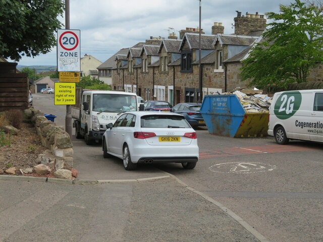
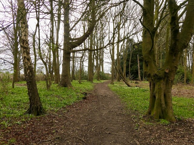
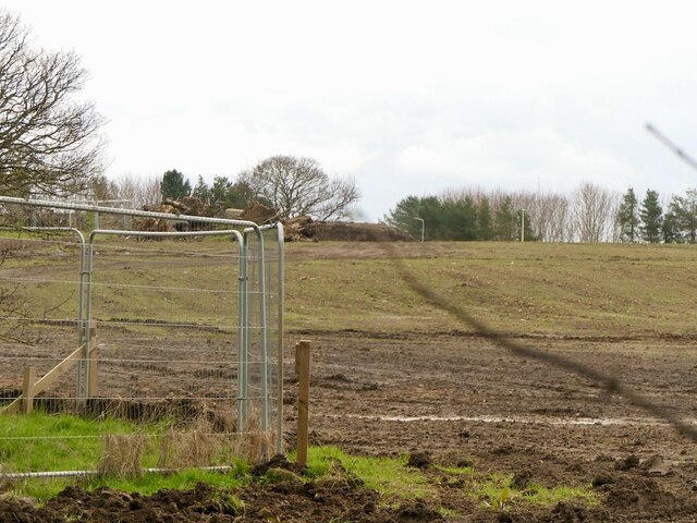
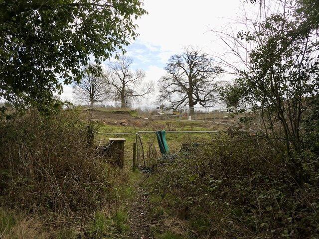
Greendykes Images
Images are sourced within 2km of 55.926809/-3.1378308 or Grid Reference NT2971. Thanks to Geograph Open Source API. All images are credited.
![Fire damaged house, Danderhall This house, at the corner of The Wisp and Edmonstone Road [3 Toscana Court, according to the map] seems to have suffered from a serious fire, but I have not been able find any details. It appears undamaged on Google Street View imagery of March 2021.](https://s2.geograph.org.uk/geophotos/07/20/13/7201318_fa9b50d4.jpg)


Greendykes is located at Grid Ref: NT2971 (Lat: 55.926809, Lng: -3.1378308)
Unitary Authority: City of Edinburgh
Police Authority: Edinburgh
What 3 Words
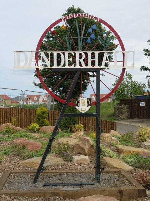
///create.wage.fishery. Near Danderhall, Midlothian
Nearby Locations
Related Wikis
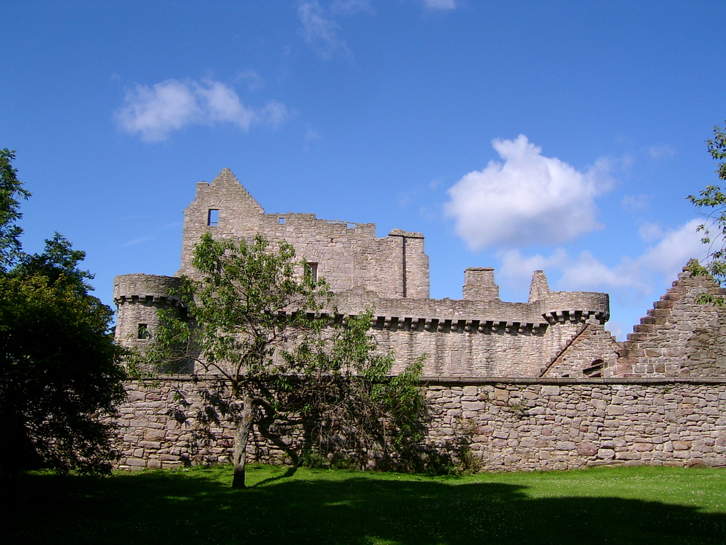
Craigmillar Castle
Craigmillar Castle is a ruined medieval castle in Edinburgh, Scotland. It is three miles (4.8 km) south-east of the city centre, on a low hill to the south...

Castlebrae Community High School
Castlebrae Community High School is a secondary school in the neighbourhood of Niddrie, Edinburgh. == Feeder schools == Feeder primaries are Castleview...
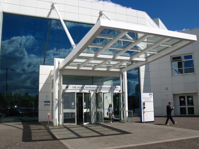
Royal Infirmary of Edinburgh
The Royal Infirmary of Edinburgh (RIE), often (but incorrectly) known as the Edinburgh Royal Infirmary (ERI), was established in 1729 and is the oldest...
Edinburgh Obstetrical Society
The Edinburgh Obstetrical Society is a learned society in Edinburgh devoted to obstetrics. It was founded in 1840 by Robert Bowes Malcolm and boasts James...
Nearby Amenities
Located within 500m of 55.926809,-3.1378308Have you been to Greendykes?
Leave your review of Greendykes below (or comments, questions and feedback).