Greendown
Settlement in Somerset Mendip
England
Greendown
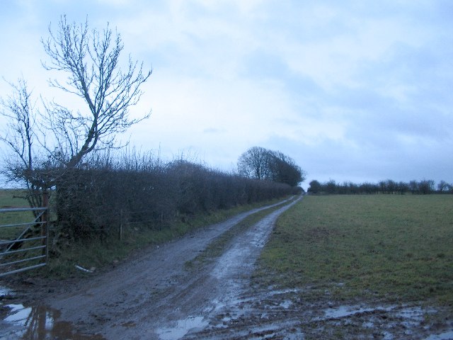
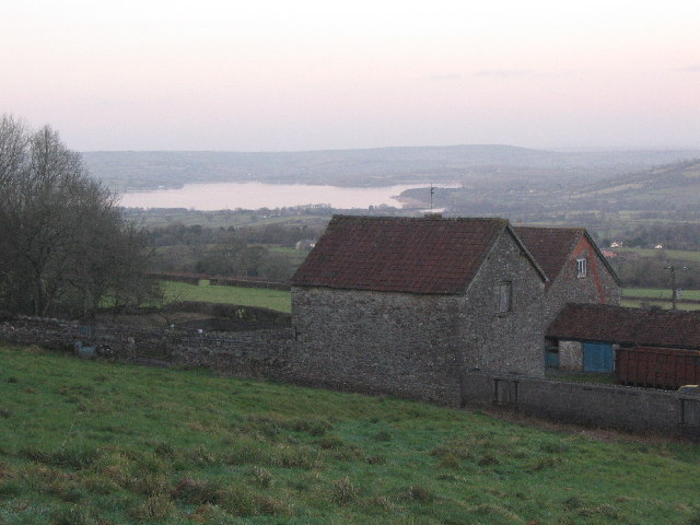
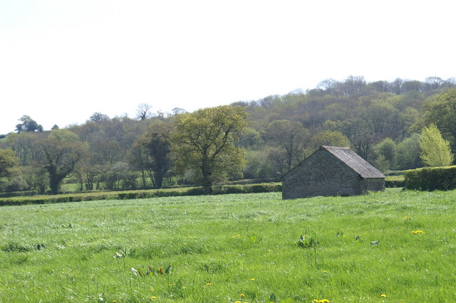
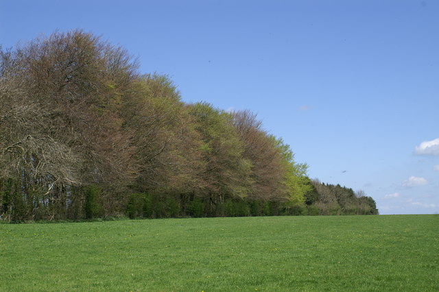
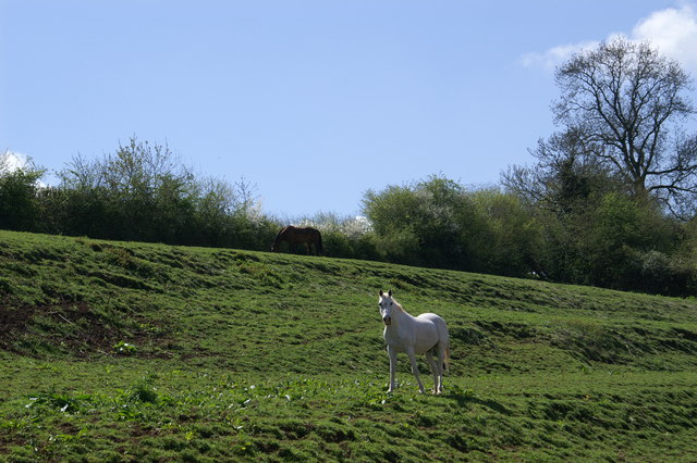
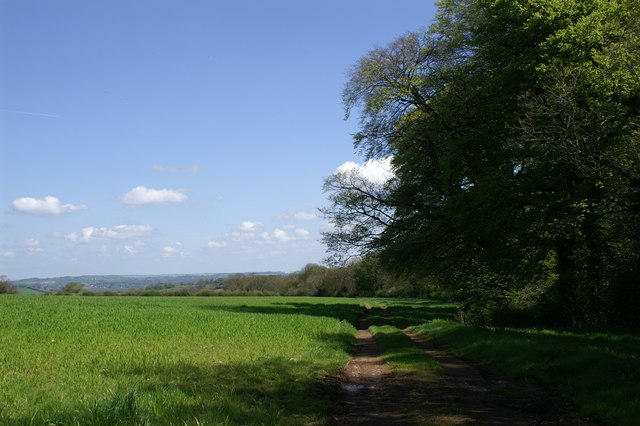
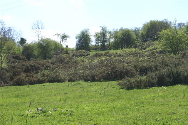
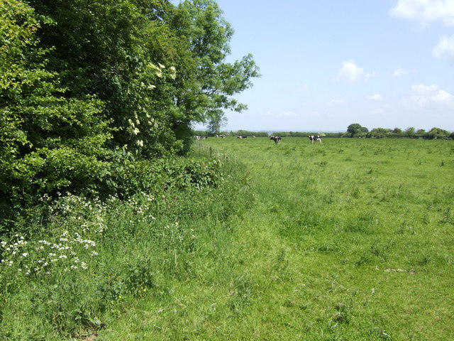
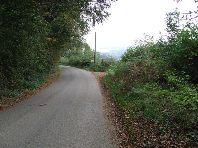
Greendown is a small village located in the county of Somerset, England. Situated in the Mendip Hills, it is surrounded by picturesque countryside, offering residents and visitors a tranquil and scenic environment. The village is part of the Mendip district and falls within the administrative region of South West England.
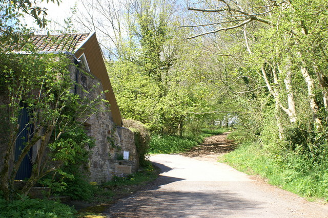
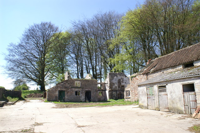
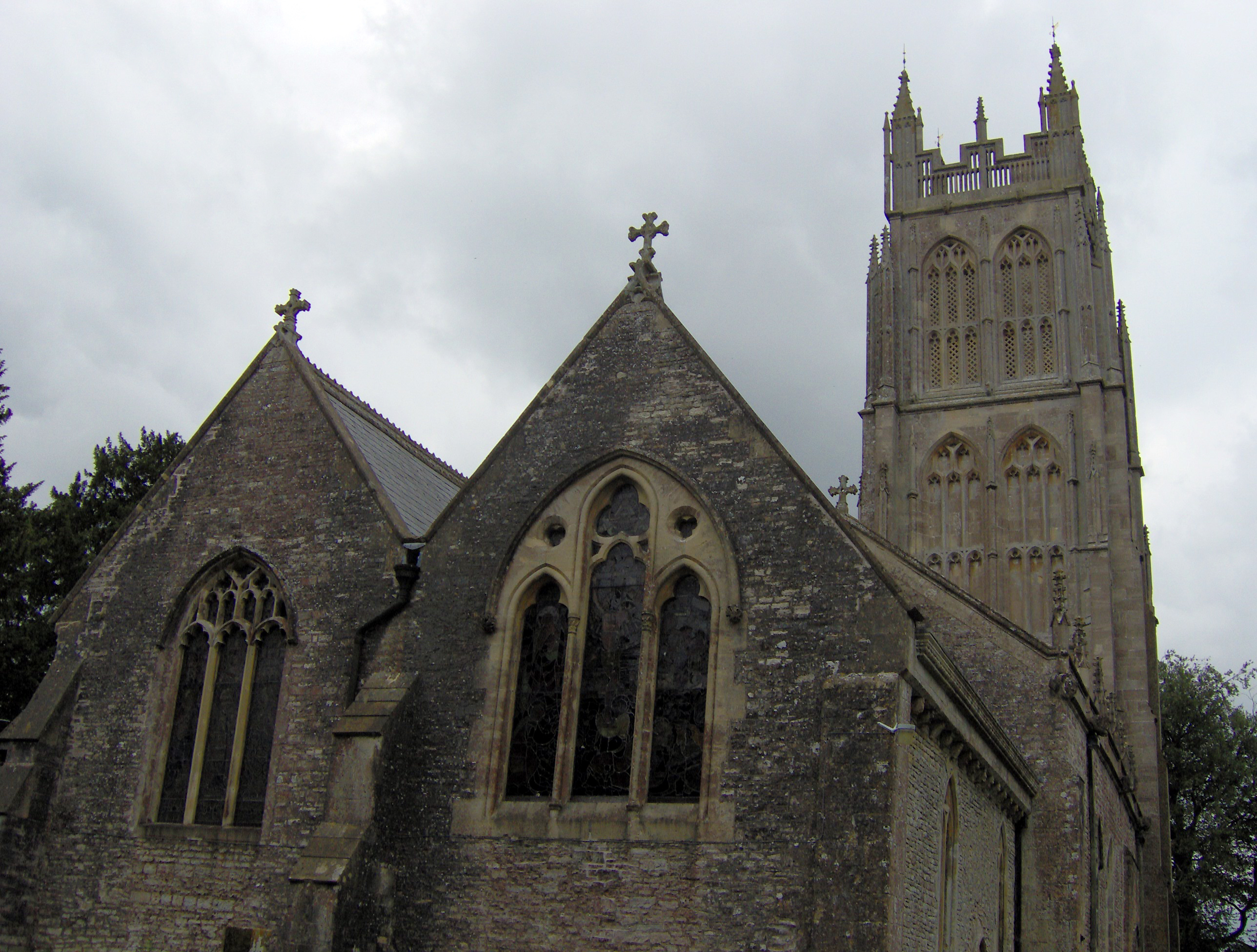
Greendown is characterized by its charming rural atmosphere, with traditional stone houses and cottages dotting the landscape. The village is home to a close-knit community, boasting a population of approximately 500 residents. The villagers take pride in their community spirit and work together to organize various events and activities throughout the year.
Despite its small size, Greendown offers a range of amenities to cater to the needs of its residents. These include a local pub, a village hall, and a primary school, providing essential services and fostering a sense of belonging.
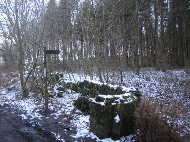
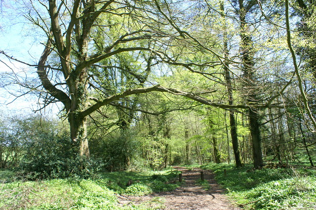
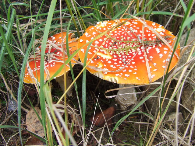
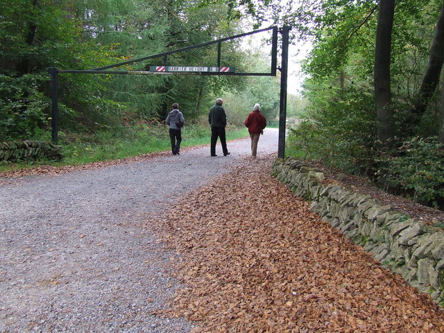
The village is also well-positioned for outdoor enthusiasts, with numerous walking and hiking trails nearby. The Mendip Hills Area of Outstanding Natural Beauty offers breathtaking views and opportunities for adventure. Additionally, the nearby Cheddar Gorge, known for its stunning limestone cliffs and caves, attracts visitors from far and wide.
Greendown's location provides easy access to neighboring towns and cities. The city of Bath, known for its Roman heritage and Georgian architecture, is just a short drive away. Bristol, a vibrant city with a rich maritime history, is also within easy reach.
Overall, Greendown offers a peaceful countryside lifestyle, with access to both natural beauty and urban amenities, making it an attractive place to live or visit for those seeking a slower pace of life.
If you have any feedback on the listing, please let us know in the comments section below.
Greendown Images
Images are sourced within 2km of 51.274515/-2.6178141 or Grid Reference ST5753. Thanks to Geograph Open Source API. All images are credited.

Greendown is located at Grid Ref: ST5753 (Lat: 51.274515, Lng: -2.6178141)
Administrative County: Somerset
District: Mendip
Police Authority: Avon and Somerset
What 3 Words
///feuds.senses.encoding. Near East Harptree, Somerset
Nearby Locations
Related Wikis

Attborough Swallet
Attborough Swallet (also known as Red Quar Swallet) is a cave in Chewton Mendip in Somerset, England. It is unusual for a cave on the Mendip Hills in that...

Smitham Chimney, East Harptree
Smitham Chimney is a chimney which was used for lead mining just outside the village of East Harptree, in the parish of Priddy, Somerset, England. It is...

Eastwood Manor
Eastwood Manor is a Grade II listed building in the village of East Harptree in the English County of Somerset. == History == A house was built at Eastwood...
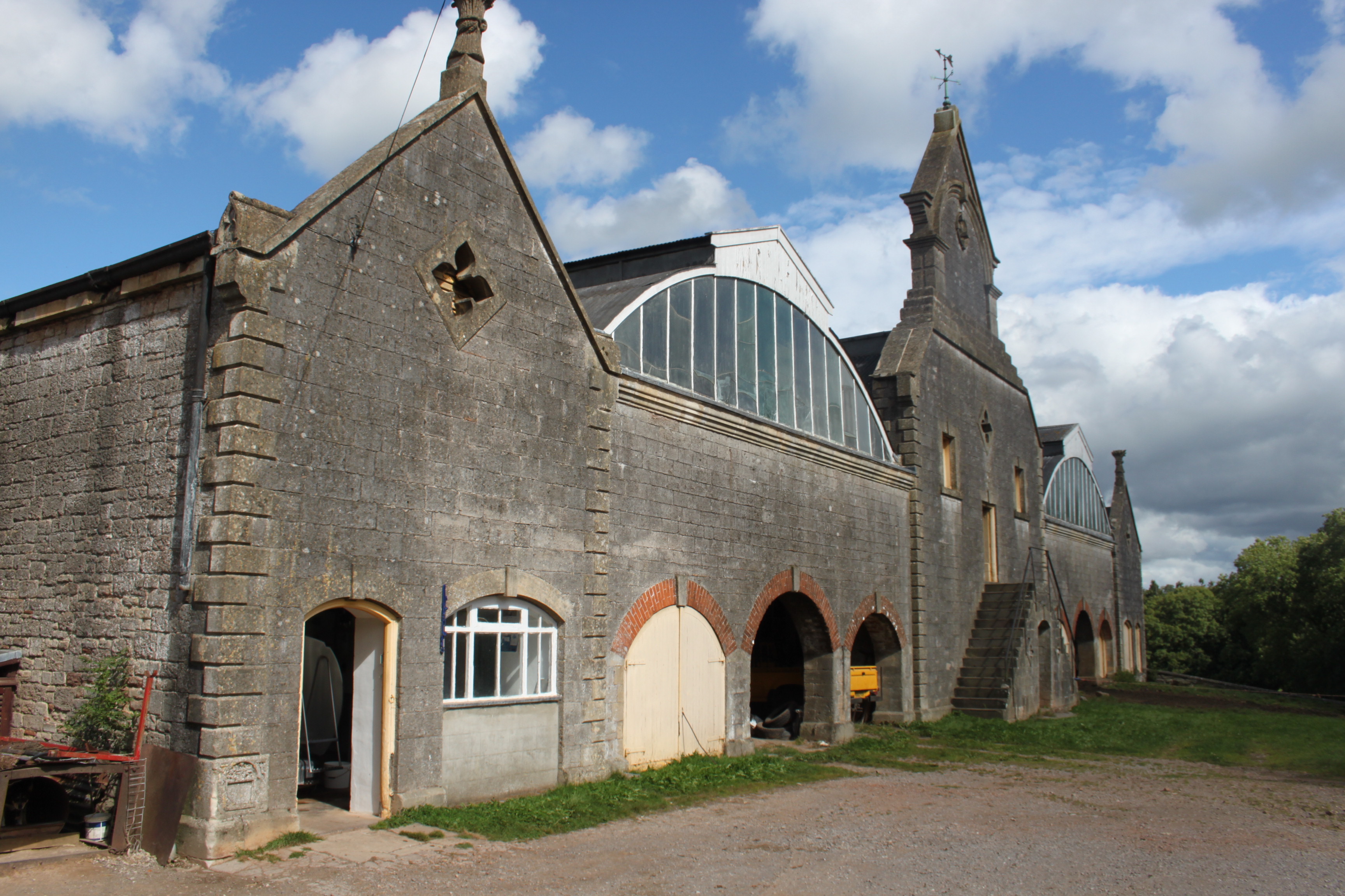
Eastwood Manor Farm Steading
Eastwood Manor Farm Steading in East Harptree, Somerset, England is a Grade I listed building.The farm including the site for the construction of Eastwood...

Priddy Mineries
Priddy Mineries (grid reference ST547515) is a nature reserve previously run by the Somerset Wildlife Trust. It is in the village of Priddy, on the Mendip...

Wurt Pit and Devil's Punchbowl
Wurt Pit and Devil's Punchbowl (grid reference ST543537) is a 0.2 hectare (0.5 acre) geological Site of Special Scientific Interest between East Harptree...

Stock Hill
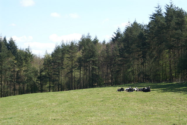
Stock Hill (grid reference ST5551) is a Forestry Commission plantation on the Mendip Hills, Somerset, England. It lies to the south of the B3135 which...
Chewton Mendip
Chewton Mendip is a village and civil parish in Somerset, England. It is situated 4 miles (6 km) north of Wells, 16 miles (26 km) south of Bath and Bristol...
Nearby Amenities
Located within 500m of 51.274515,-2.6178141Have you been to Greendown?
Leave your review of Greendown below (or comments, questions and feedback).