Barton Broad
Lake, Pool, Pond, Freshwater Marsh in Norfolk North Norfolk
England
Barton Broad
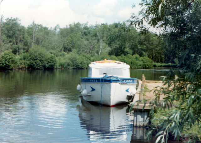
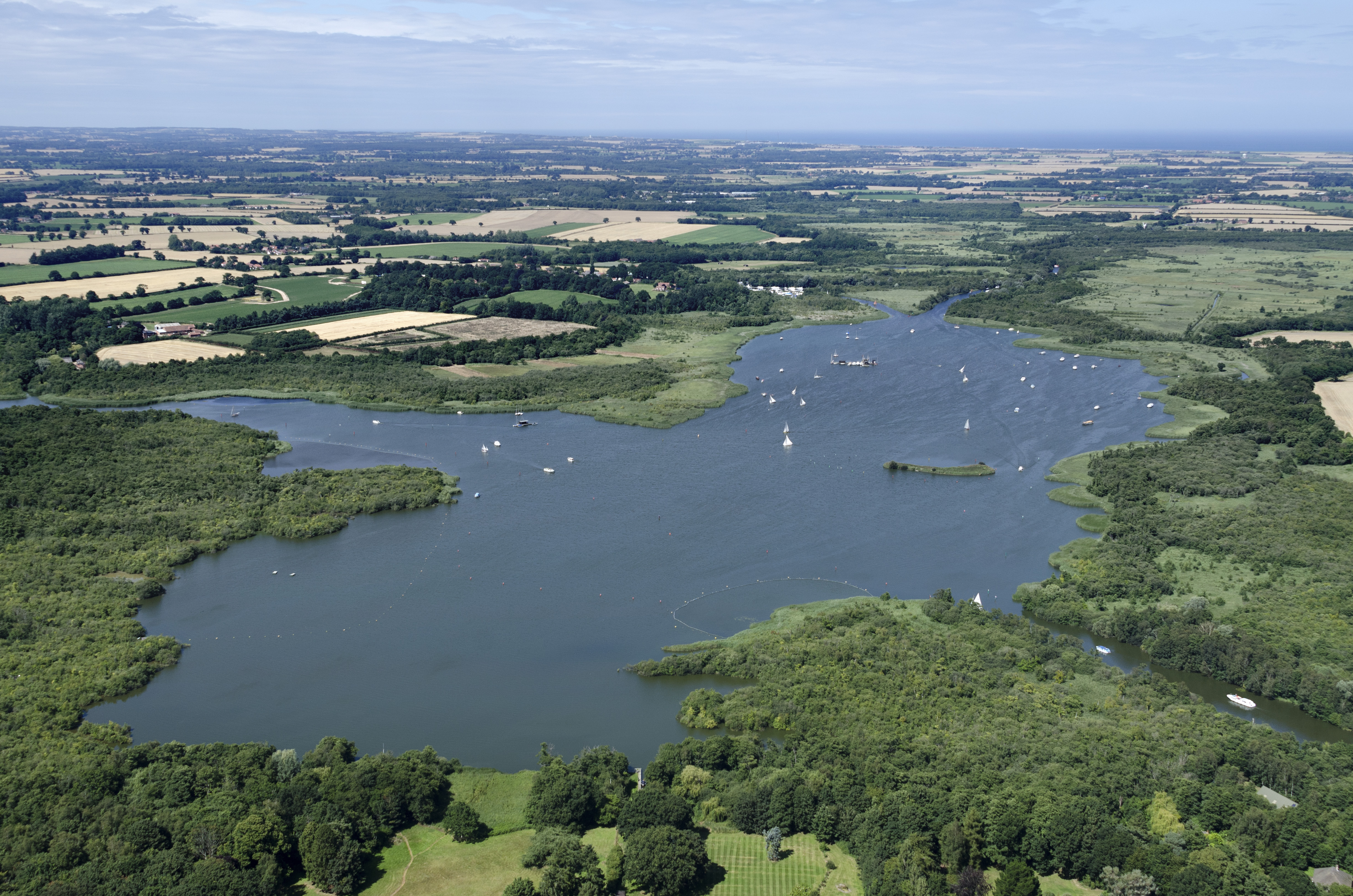
Barton Broad is a picturesque and expansive freshwater lake located in Norfolk, England. It is situated within the Norfolk Broads, a network of rivers, lakes, and marshes that form one of the country's most important wetland areas. Covering an area of approximately 109 hectares, Barton Broad is known for its natural beauty and diverse wildlife.
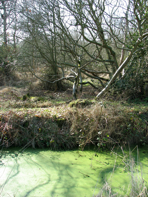
The broad is surrounded by lush, verdant marshes and reed beds, providing a haven for numerous species of birds, plants, and animals. It is home to a variety of waterfowl, including mallards, swans, and herons, which can often be seen gracefully gliding across the calm waters. The reed beds are an important habitat for breeding and nesting birds, such as reed warblers and bitterns.
The broad itself is a haven for water sports enthusiasts, offering opportunities for sailing, canoeing, and boating. Its calm and sheltered waters make it an ideal spot for beginners and experienced sailors alike. Fishing is also a popular activity on Barton Broad, with anglers often seeking out pike, roach, and bream.
Surrounding the broad is a network of footpaths and trails, allowing visitors to explore the surrounding marshes and enjoy the stunning views. The area is rich in biodiversity, with rare plants such as marsh fern and sword-leaved helleborine found in the vicinity.
Barton Broad is not only a place of natural beauty and recreational activities, but it also plays a vital role in the conservation of the Norfolk Broads ecosystem. Its protection and preservation ensure that future generations can continue to enjoy the tranquility and splendor of this remarkable freshwater marsh.
If you have any feedback on the listing, please let us know in the comments section below.
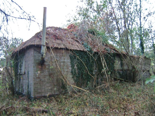
Barton Broad Images
Images are sourced within 2km of 52.738994/1.4964394 or Grid Reference TG3621. Thanks to Geograph Open Source API. All images are credited.


Barton Broad is located at Grid Ref: TG3621 (Lat: 52.738994, Lng: 1.4964394)
Administrative County: Norfolk
District: North Norfolk
Police Authority: Norfolk
What 3 Words
///visitors.object.drumbeat. Near Stalham, Norfolk
Nearby Locations
Related Wikis
Barton Broad
Barton Broad is a large lake that forms part of the River Ant which gives its name to a 164-hectare (410-acre) nature reserve north-east of Norwich in...

Ant Broads & Marshes National Nature Reserve
Ant Broads & Marshes NNR is a national nature reserve in Norfolk, England established by English Nature. It is named after the River Ant. It is part of...

Ant Broads and Marshes
Ant Broads and Marshes is a 745.3-hectare (1,842-acre) biological Site of Special Scientific Interest north-east of Norwich in Norfolk. Most of it is a...
Catfield Fen Reserve
Catfield Fen is a wetland nature reserve near Ludham in the county of Norfolk, England. Butterfly Conservation owns and manages part of this reserve. Part...
Nearby Amenities
Located within 500m of 52.738994,1.4964394Have you been to Barton Broad?
Leave your review of Barton Broad below (or comments, questions and feedback).