Claypits Pond

Lake, Pool, Pond, Freshwater Marsh in Essex Colchester

England

Claypits Pond

Birch: Very boggy field and practically full drainage channel
Birch: Very boggy field and practically full drainage channel Credit: Michael Garlick

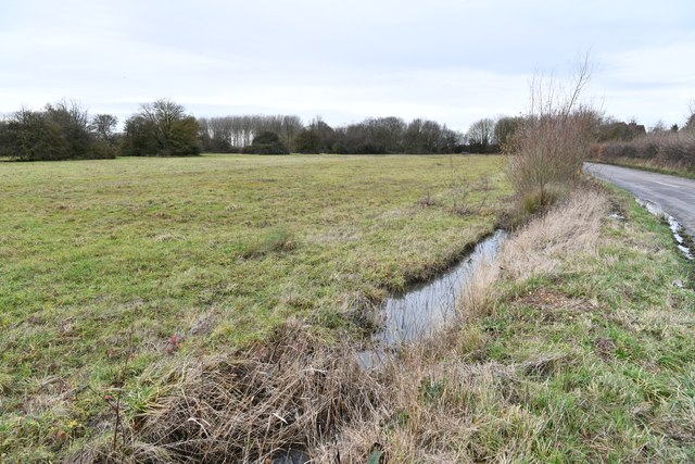
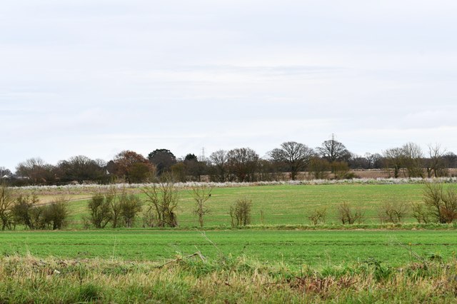
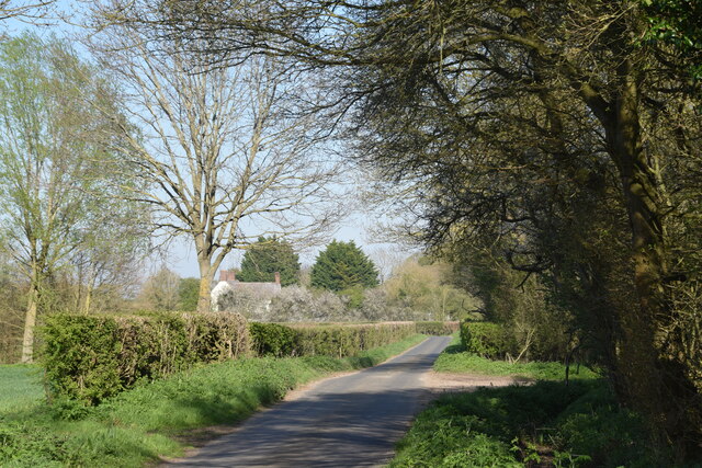
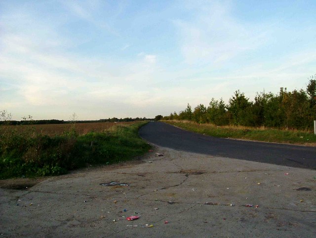
Claypits Pond is a freshwater marsh located in Essex, England. It is situated in a rural area surrounded by fields and woodlands, making it a serene and peaceful location for visitors to enjoy the natural beauty of the countryside.

The pond is relatively small in size, measuring approximately 1.5 hectares, but it is teeming with diverse flora and fauna. The water is clear and still, providing a perfect habitat for various aquatic plants and animals. The edges of the pond are lined with reeds and rushes, which not only enhance the aesthetics of the area but also provide shelter and nesting sites for birds.

Speaking of birds, Claypits Pond is a haven for birdwatchers. The pond attracts a wide variety of bird species throughout the year, including herons, swans, ducks, and coots. It is particularly popular during the spring and autumn migration seasons when numerous species pass through the area. Birdwatchers can observe these magnificent creatures from specially constructed bird hides located around the pond.

Aside from its importance for wildlife, Claypits Pond also serves as a recreational spot for locals and visitors. The tranquil atmosphere and picturesque surroundings make it an ideal place for picnics, leisurely walks, and photography. There are designated footpaths that encircle the pond, allowing visitors to explore the area and appreciate its natural wonders.

Overall, Claypits Pond is a charming freshwater marsh that offers a peaceful retreat from the hustle and bustle of everyday life. Its rich biodiversity, scenic beauty, and recreational opportunities make it a cherished destination for nature lovers and outdoor enthusiasts alike.

If you have any feedback on the listing, please let us know in the comments section below.

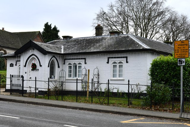
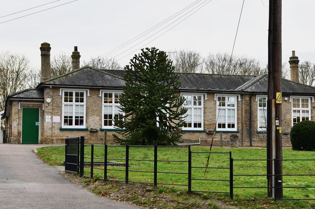
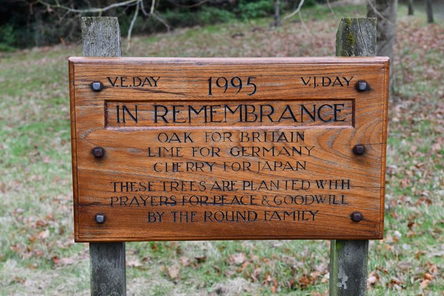
Claypits Pond Images

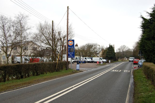
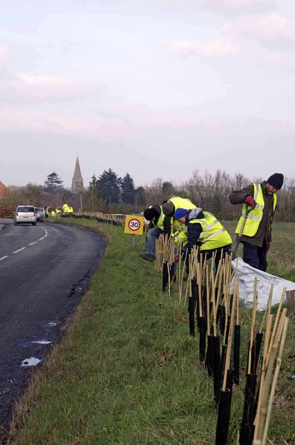
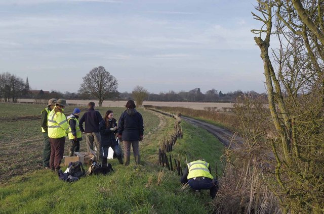
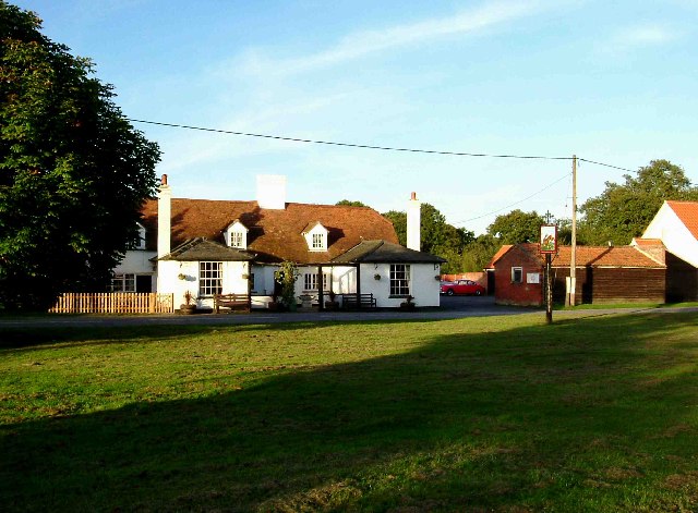
Images are sourced within 2km of 51.846494/0.80031015 or Grid Reference TL9220. Thanks to Geograph Open Source API. All images are credited.

Birch: Very boggy field and practically full drainage channel
Birch: B1022 junction
Birch: Fields
Birch: Fields
Birch, St. Peter's Church: Western aspect occluded by trees
Birch: 'Linden House'
Birch Church of England Primary School
Birch: Plaque to show that three trees were planted in 1995 to remember V.E. Day and V.J. Day
Beside a patch of woodland on Easthorpe Road Part of Cantfield's Farm farmhouse can be seen ahead.
Beside a patch of woodland on Easthorpe Road
Part of Cantfield's Farm farmhouse can be seen ahead.
Birch Green Garages behind Greenfield Houses.
Birch Green
Garages behind Greenfield Houses.
Birch Green Play area.
Birch Green
Play area.
Farmland near Birch Ploughed field with Birch church in the background.
Farmland near Birch
Ploughed field with Birch church in the background.
Greenfield Houses 1950s council houses.
Greenfield Houses
1950s council houses.
Gulf Service Station Smythes Green
Gulf Service Station
Smythes Green
New Hedge In Birch Green When I was a nipper I remember this hedge-line being grubbed up, encouraged by the policies  and financial incentives of the Ministry of Agriculture. Today in order to qualify for the Higher Level Stewardship Scheme subsidies hedges are in fashion  once  more! <span class="nowrap"><a title="http://www.naturalengland.gov.uk/ourwork/farming/funding/es/hls/default.aspx" rel="nofollow ugc noopener" href="http://www.naturalengland.gov.uk/ourwork/farming/funding/es/hls/default.aspx">Link</a><img style="margin-left:2px;" alt="External link" title="External link - shift click to open in new window" src="https://s1.geograph.org.uk/img/external.png" width="10" height="10"/></span>
Here volunteers from The Essex Wildlife Trust <span class="nowrap"><a title="http://www.essexwt.org.uk/" rel="nofollow ugc noopener" href="http://www.essexwt.org.uk/">Link</a><img style="margin-left:2px;" alt="External link" title="External link - shift click to open in new window" src="https://s1.geograph.org.uk/img/external.png" width="10" height="10"/></span> Groundworks UK <span class="nowrap"><a title="http://www.groundwork.org.uk/" rel="nofollow ugc noopener" href="http://www.groundwork.org.uk/">Link</a><img style="margin-left:2px;" alt="External link" title="External link - shift click to open in new window" src="https://s1.geograph.org.uk/img/external.png" width="10" height="10"/></span> and staff from Anglian Water (many thanks for the lunch folks!) are replanting the hedge with a mixture of native species. This is part of the Four Parishes Living Landscapes Project <span class="nowrap"><a title="http://www.essexwt.org.uk/news/four_parishes_hedgerow_project/" rel="nofollow ugc noopener" href="http://www.essexwt.org.uk/news/four_parishes_hedgerow_project/">Link</a><img style="margin-left:2px;" alt="External link" title="External link - shift click to open in new window" src="https://s1.geograph.org.uk/img/external.png" width="10" height="10"/></span>  that aims to restore four kilometres of hedgerow to provide a wildlife corridor between the dormice populations on <a href="https://www.geograph.org.uk/photo/153919">TL8714 : Tiptree Heath</a> and <a href="https://www.geograph.org.uk/photo/142671">TL9721 : Roman River Reserve</a>. The landowners get free trees and labour in exchange for a commitment to maintain the new hedge. See the end of the days toil at <a href="https://www.geograph.org.uk/photo/3352276">TL9419 : New Hedge in Pudding Lane</a> and the results of a previous sortie at
 <a href="https://www.geograph.org.uk/photo/3352294">TL9318 : New Hedge on Winter's Hill</a>
New Hedge In Birch Green
When I was a nipper I remember this hedge-line being grubbed up, encouraged by the policies and financial incentives of the Ministry of Agriculture. Today in order to qualify for the Higher Level Stewardship Scheme subsidies hedges are in fashion once more! LinkExternal link Here volunteers from The Essex Wildlife Trust LinkExternal link Groundworks UK LinkExternal link and staff from Anglian Water (many thanks for the lunch folks!) are replanting the hedge with a mixture of native species. This is part of the Four Parishes Living Landscapes Project LinkExternal link that aims to restore four kilometres of hedgerow to provide a wildlife corridor between the dormice populations on TL8714 : Tiptree Heath and TL9721 : Roman River Reserve. The landowners get free trees and labour in exchange for a commitment to maintain the new hedge. See the end of the days toil at TL9419 : New Hedge in Pudding Lane and the results of a previous sortie at TL9318 : New Hedge on Winter's Hill
New Hedge in Pudding Lane When I was a nipper I remember the hedges round here being grubbed up, encouraged by the policies  and financial incentives  of  the Ministry of Agriculture. Today in order to qualify for the Higher Level Stewardship Scheme subsidies hedges are in fashion  once  more <span class="nowrap"><a title="http://www.naturalengland.gov.uk/ourwork/farming/funding/es/hls/default.aspx" rel="nofollow ugc noopener" href="http://www.naturalengland.gov.uk/ourwork/farming/funding/es/hls/default.aspx">Link</a><img style="margin-left:2px;" alt="External link" title="External link - shift click to open in new window" src="https://s1.geograph.org.uk/img/external.png" width="10" height="10"/></span>
Here volunteers from The Essex Wildlife Trust <span class="nowrap"><a title="http://www.essexwt.org.uk/" rel="nofollow ugc noopener" href="http://www.essexwt.org.uk/">Link</a><img style="margin-left:2px;" alt="External link" title="External link - shift click to open in new window" src="https://s1.geograph.org.uk/img/external.png" width="10" height="10"/></span> Groundworks UK <span class="nowrap"><a title="http://www.groundwork.org.uk/" rel="nofollow ugc noopener" href="http://www.groundwork.org.uk/">Link</a><img style="margin-left:2px;" alt="External link" title="External link - shift click to open in new window" src="https://s1.geograph.org.uk/img/external.png" width="10" height="10"/></span> and staff from Anglian Water are just completing  a days work replanting the hedge with a mixture of native species. This is part of the four Parishes Living Landscapes Project <span class="nowrap"><a title="http://www.essexwt.org.uk/news/four_parishes_hedgerow_project/" rel="nofollow ugc noopener" href="http://www.essexwt.org.uk/news/four_parishes_hedgerow_project/">Link</a><img style="margin-left:2px;" alt="External link" title="External link - shift click to open in new window" src="https://s1.geograph.org.uk/img/external.png" width="10" height="10"/></span>  that aims to restore four kilometres of hedgerow to provide a wildlife corridor between the dormice populations on  <a href="https://www.geograph.org.uk/photo/153919">TL8714 : Tiptree Heath</a> and <a href="https://www.geograph.org.uk/photo/142671">TL9721 : Roman River Reserve</a>. The landowners get free trees and labour in exchange for a commitment to maintain the new hedge. See the start of the days toil at <a href="https://www.geograph.org.uk/photo/3352267">TL9419 : New Hedge In Birch Green</a> and the results of a previous sortie at
 <a href="https://www.geograph.org.uk/photo/3352294">TL9318 : New Hedge on Winter's Hill</a>
New Hedge in Pudding Lane
When I was a nipper I remember the hedges round here being grubbed up, encouraged by the policies and financial incentives of the Ministry of Agriculture. Today in order to qualify for the Higher Level Stewardship Scheme subsidies hedges are in fashion once more LinkExternal link Here volunteers from The Essex Wildlife Trust LinkExternal link Groundworks UK LinkExternal link and staff from Anglian Water are just completing a days work replanting the hedge with a mixture of native species. This is part of the four Parishes Living Landscapes Project LinkExternal link that aims to restore four kilometres of hedgerow to provide a wildlife corridor between the dormice populations on TL8714 : Tiptree Heath and TL9721 : Roman River Reserve. The landowners get free trees and labour in exchange for a commitment to maintain the new hedge. See the start of the days toil at TL9419 : New Hedge In Birch Green and the results of a previous sortie at TL9318 : New Hedge on Winter's Hill
Roundbush Road Viewed from the junction on Winters Road on a gloomy summer's day.
Roundbush Road
Viewed from the junction on Winters Road on a gloomy summer's day.
Hare & Hounds at Layer Bretton Heath This is the Hare & Hounds at Layer Bretton Heath. The piece of green in the foreground is the only bit of ground that remotely resembles a heath now. Over the past 30 years due to lack of grazing and control of grass fires the view from the pub has changed from open grassland and bramble bushes to young broad leaf woodland.
Hare & Hounds at Layer Bretton Heath
This is the Hare & Hounds at Layer Bretton Heath. The piece of green in the foreground is the only bit of ground that remotely resembles a heath now. Over the past 30 years due to lack of grazing and control of grass fires the view from the pub has changed from open grassland and bramble bushes to young broad leaf woodland.
Blind Lane Birch This is a shot of Blind lane Birch. The lane was closed from late 1942 until after WW2 as it became one of the two 1400 yard secondary runways of Birch Airfield, the last East Anglian aerodrome to be built by the USAAF in WW2. Blind lane is surfaced in tarmac the concrete in the picture is the end of the 2000 yard main runway. It is interesting to note that Blind Lane and the airfield are not marked on the 1940’s O.S map.
Blind Lane Birch
This is a shot of Blind lane Birch. The lane was closed from late 1942 until after WW2 as it became one of the two 1400 yard secondary runways of Birch Airfield, the last East Anglian aerodrome to be built by the USAAF in WW2. Blind lane is surfaced in tarmac the concrete in the picture is the end of the 2000 yard main runway. It is interesting to note that Blind Lane and the airfield are not marked on the 1940’s O.S map.
Show me another place!

Claypits Pond is located at Grid Ref: TL9220 (Lat: 51.846494, Lng: 0.80031015)

Administrative County: Essex

District: Colchester

Police Authority: Essex

What 3 Words

///cricket.vintages.ember. Near Marks Tey, Essex

Related Wikis

Hardy's Green

Hardy's Green is a hamlet in civil parish of Birch in the Colchester district, in the county of Essex, England. Nearby settlements include the large town...

RAF Birch

Royal Air Force Birch or more simply RAF Birch is a former Royal Air Force station in Essex, England. The airfield is located 2 mi (3.2 km) northeast...

Birch, Essex

Birch is a village and civil parish in the City of Colchester district of Essex, England. It is located approximately 5 miles (8 km) south-west of Colchester...

Smythe's Green

Smythe's Green is a hamlet on the B1022 road, in the Colchester district, in the county of Essex, England. It is located in between the villages of Tiptree...

Easthorpe, Essex

Easthorpe is a small village and former civil parish, now in the parish of Copford, in the Colchester district, in the county of Essex, England. Easthorpe...

Heckfordbridge

Heckfordbridge or Heckford is a hamlet in the civil parish of Birch, in the county of Essex, England. The settlement is on the B1022 road, between Colchester...

Layer Breton

Layer Breton is a village and a civil parish in the City of Colchester district of Essex, England. According to the 2011 census there were 144 males and...

Copford Green

Copford Green is a hamlet within the civil parish of Copford and the district of Colchester in Essex, England. It is near the A12 and A120 roads, and is...

Have you been to Claypits Pond?

Leave your review of Claypits Pond below (or comments, questions and feedback).