Broad Water
Lake, Pool, Pond, Freshwater Marsh in Suffolk West Suffolk
England
Broad Water
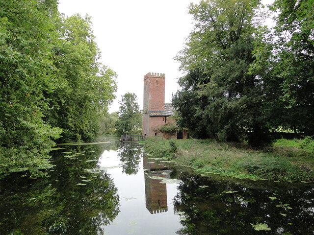
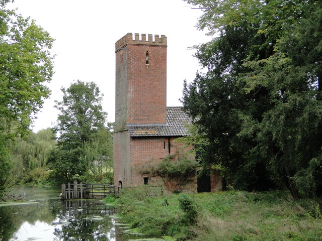
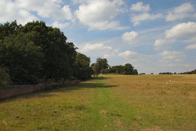
Broad Water is a picturesque body of water located in the county of Suffolk, England. It is a freshwater marsh that encompasses a lake, pool, and pond, offering a diverse and unique ecosystem for both flora and fauna. With its tranquil surroundings and stunning natural beauty, Broad Water attracts nature enthusiasts, bird watchers, and those seeking a peaceful retreat.
The lake at Broad Water spans across a considerable area and is known for its crystal-clear waters. It provides a habitat for various species of fish, including pike, roach, and perch, making it a popular spot for fishing enthusiasts. The lake is also a nesting ground for waterfowl such as swans, ducks, and geese, adding to the area's visual appeal.
Adjacent to the lake is a smaller pool, which is home to numerous water lilies and reeds. This shallow pool offers a safe haven for amphibians like frogs and newts, creating a thriving ecosystem within the broader water environment. The pond at Broad Water is another significant feature, hosting a rich variety of aquatic plants and insects that contribute to the overall biodiversity of the area.
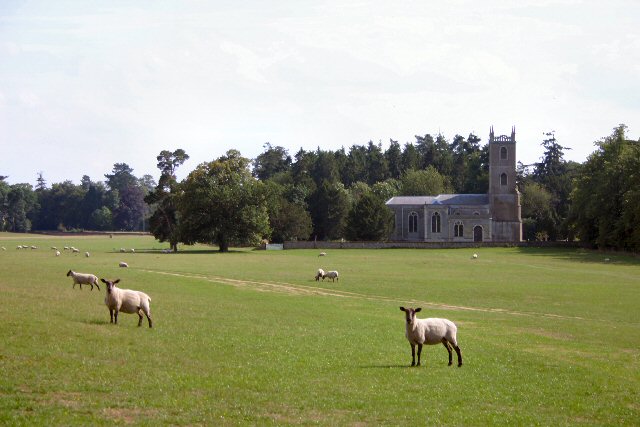
The freshwater marsh surrounding Broad Water is a haven for wildlife. This wetland ecosystem provides a habitat for a diverse range of bird species, including herons, bitterns, and kingfishers. The marshland is also home to countless insects, dragonflies, and butterflies, making it an exceptional location for nature enthusiasts and photographers alike.
Visitors to Broad Water can enjoy leisurely walks along its banks, observing the abundant wildlife and taking in the serene ambiance. The area is well-maintained, with designated paths and designated areas for picnicking, ensuring a pleasant experience for all who visit.
If you have any feedback on the listing, please let us know in the comments section below.
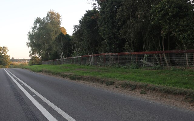
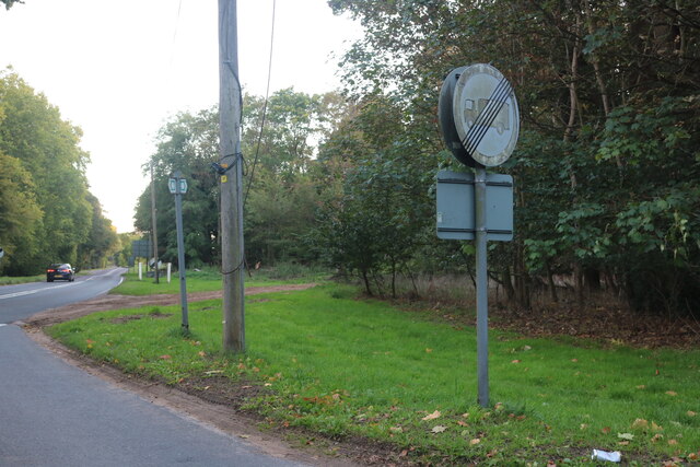
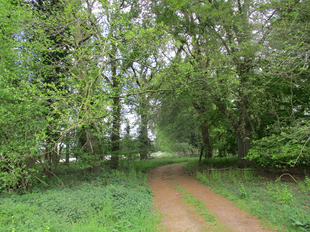
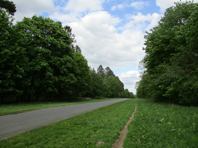
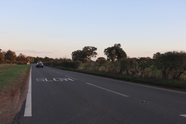
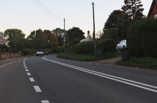
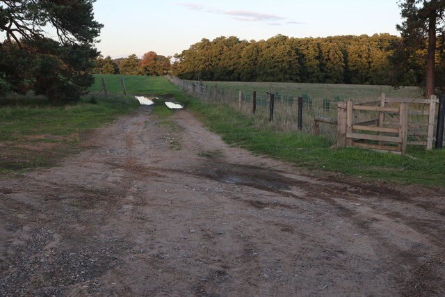
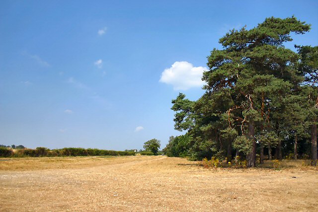
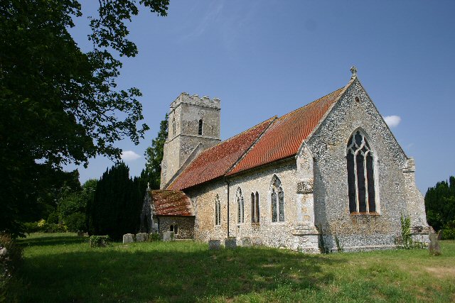
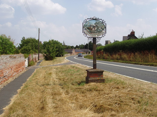
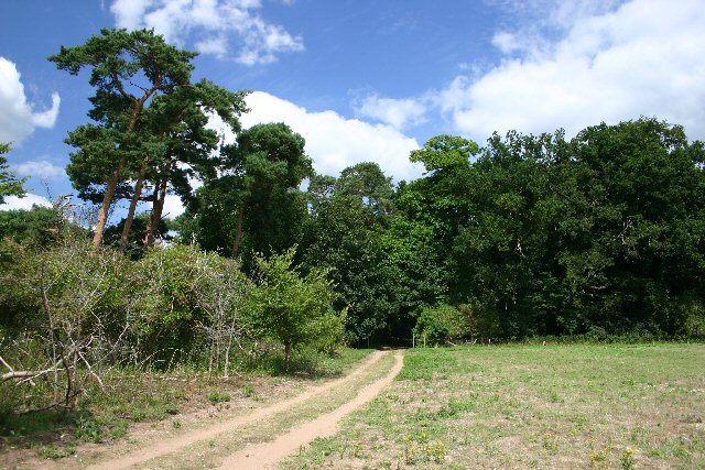
Broad Water Images
Images are sourced within 2km of 52.369221/0.78929809 or Grid Reference TL8978. Thanks to Geograph Open Source API. All images are credited.
Broad Water is located at Grid Ref: TL8978 (Lat: 52.369221, Lng: 0.78929809)
Administrative County: Suffolk
District: West Suffolk
Police Authority: Suffolk
What 3 Words
///markets.thickens.excellent. Near Thetford, Norfolk
Nearby Locations
Related Wikis

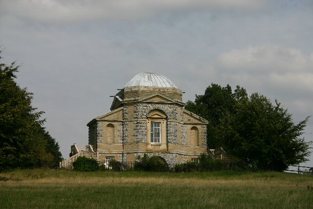
Euston Hall
Euston Hall is a country house, with park by William Kent and Capability Brown, located in Euston, a small village in Suffolk located just south of Thetford...

Euston, Suffolk
Euston is a village and civil parish in the West Suffolk district of Suffolk in eastern England. Located on the A1088 around two miles south of Thetford...

Fakenham Magna
Fakenham Magna (or Great Fakenham) is a village and civil parish in the West Suffolk district of Suffolk in eastern England. The meaning of the word 'Fakenham...

Barnham Heath
Barnham Heath is a 78.6-hectare (194-acre) biological Site of Special Scientific Interest near Barnham, a village south of Thetford in Suffolk. It is a...

Fakenham Wood and Sapiston Great Grove
Fakenham Wood and Sapiston Great Grove is a 200.7-hectare (496-acre) biological Site of Special Scientific Interest north of Sapiston in Suffolk.These...

Barnham, Suffolk
Barnham is a village and civil parish in the West Suffolk district of the English county of Suffolk about 3 miles (4.8 km) south of Thetford and 9 miles...

RAF Honington
Royal Air Force Honington or more simply RAF Honington (IATA: BEQ, ICAO: EGXH) is a Royal Air Force station located 6 mi (9.7 km) south of Thetford near...

Barnham Windmill, Suffolk
Barnham Mill is a tower mill at Barnham, Suffolk, England which has been converted to residential accommodation. == History == Barnham Mill was built for...
Nearby Amenities
Located within 500m of 52.369221,0.78929809Have you been to Broad Water?
Leave your review of Broad Water below (or comments, questions and feedback).