Church Water
Lake, Pool, Pond, Freshwater Marsh in Suffolk West Suffolk
England
Church Water

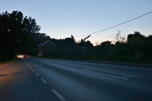
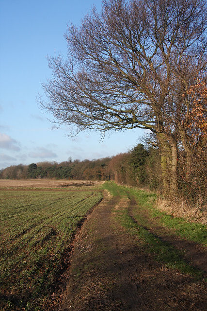
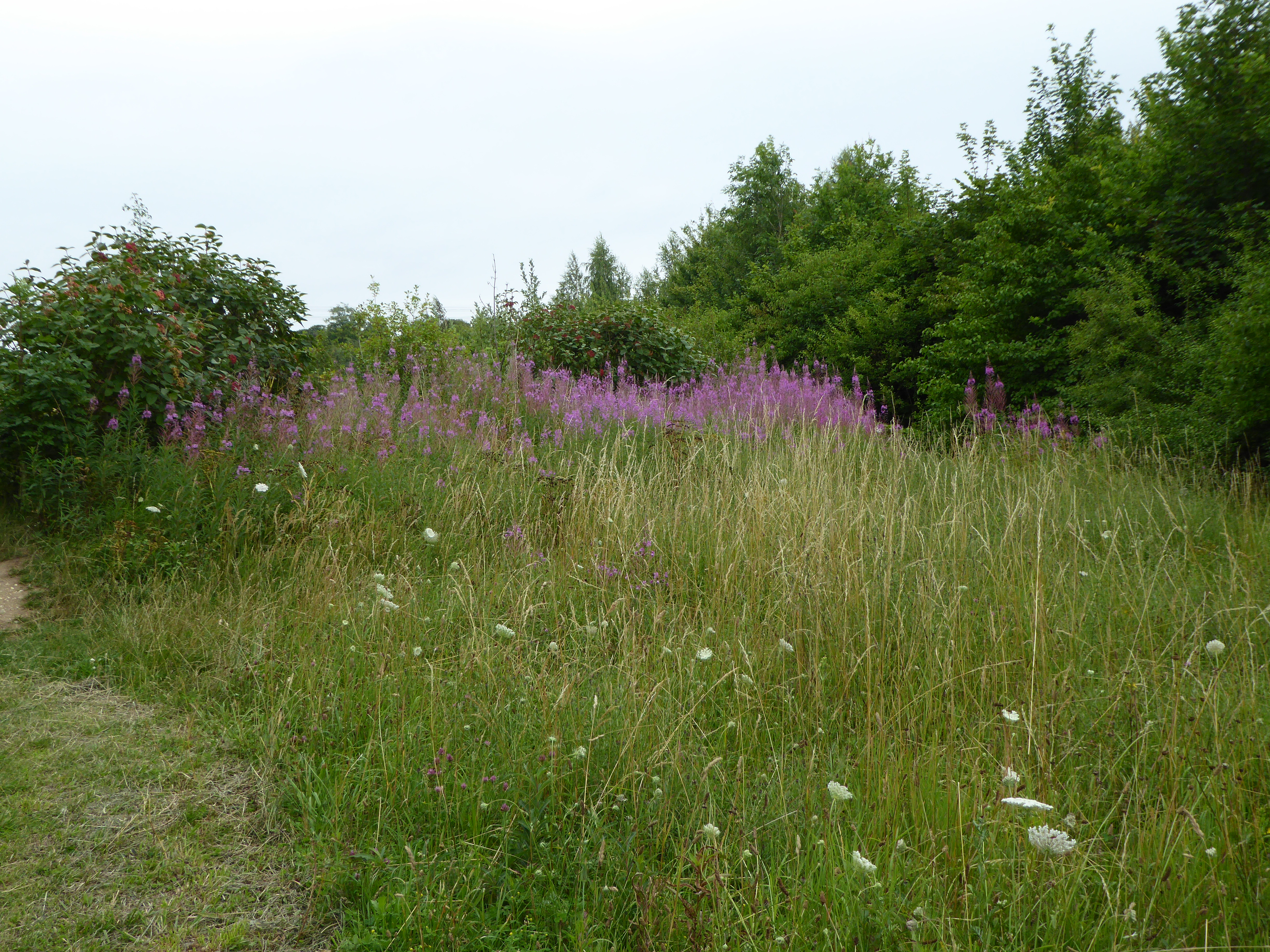
Church Water is a picturesque freshwater marsh located in Suffolk, England. Covering an area of approximately 10 hectares, it is a popular destination for nature enthusiasts and birdwatchers alike. The site is characterized by its serene atmosphere and diverse range of wildlife.
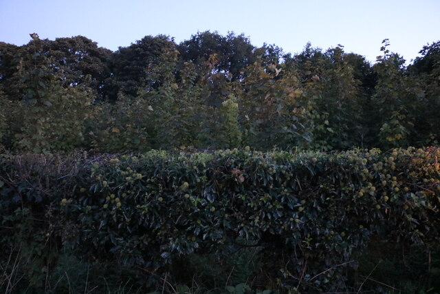
The water body itself is a shallow lake, with an average depth of around 2 meters. It is fed by several small streams that flow into the marsh, ensuring a constant supply of fresh water. The lake is surrounded by lush vegetation, including reeds, rushes, and water lilies, creating a vibrant ecosystem.
Church Water is home to a wide variety of bird species, making it a haven for birdwatchers. Visitors can spot numerous waterfowl, such as swans, ducks, and geese, gliding gracefully across the lake. The surrounding reed beds provide nesting sites for reed warblers, bearded tits, and marsh harriers. In addition to birds, the marsh also supports a range of aquatic life, including fish, amphibians, and invertebrates.
The site is well-maintained, with designated walking trails and observation points for visitors to explore. These pathways offer stunning views of the lake and its surrounding marshland. Additionally, there is a small information center where visitors can learn more about the local flora and fauna.
Church Water provides a serene and tranquil escape for nature lovers, offering an opportunity to immerse oneself in the beauty of the Suffolk countryside. Whether it's birdwatching, photography, or simply enjoying the peaceful ambiance, this freshwater marsh has something to offer for everyone.
If you have any feedback on the listing, please let us know in the comments section below.
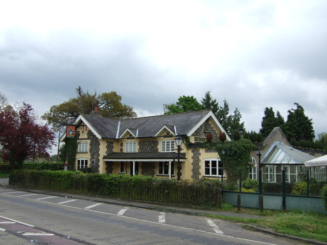
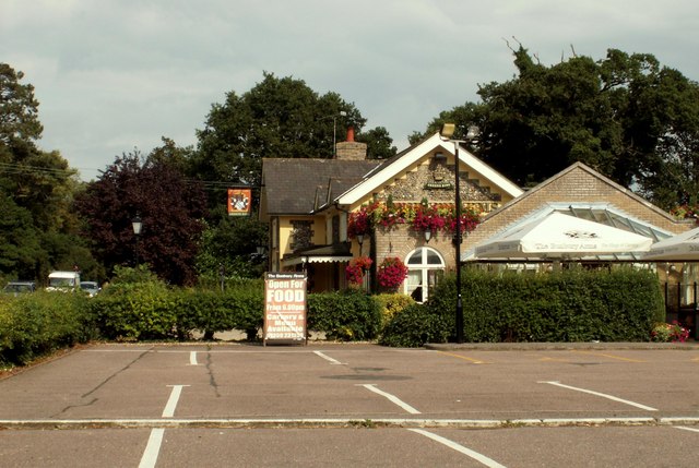
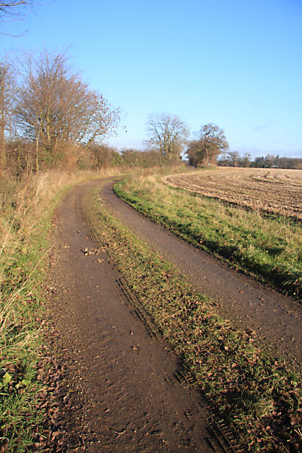
Church Water Images
Images are sourced within 2km of 52.261823/0.76811387 or Grid Reference TL8966. Thanks to Geograph Open Source API. All images are credited.


Church Water is located at Grid Ref: TL8966 (Lat: 52.261823, Lng: 0.76811387)
Administrative County: Suffolk
District: West Suffolk
Police Authority: Suffolk
What 3 Words
///develops.flank.scribble. Near Great Barton, Suffolk
Nearby Locations
Related Wikis

Great Barton
Great Barton is a large village and civil parish in the West Suffolk district of Suffolk, England, about 3 miles (5 km) East of Bury St Edmunds on the...

Conyer's Green
Conyer's Green is a village in the civil parish of Great Barton, in the West Suffolk district, in the county of Suffolk, England.
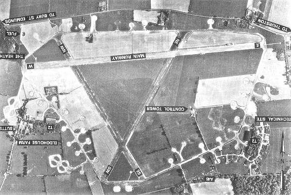
Rougham Airfield
Rougham Airfield, formerly Royal Air Force Bury St Edmunds or more simply RAF Bury St Edmunds is a former Royal Air Force station located 3 miles (4.8...

Moreton Hall, Bury St Edmunds
Moreton Hall is a Grade II* listed building in Bury St Edmunds, a market town in the county of Suffolk, England. It was designed by the Scottish architect...
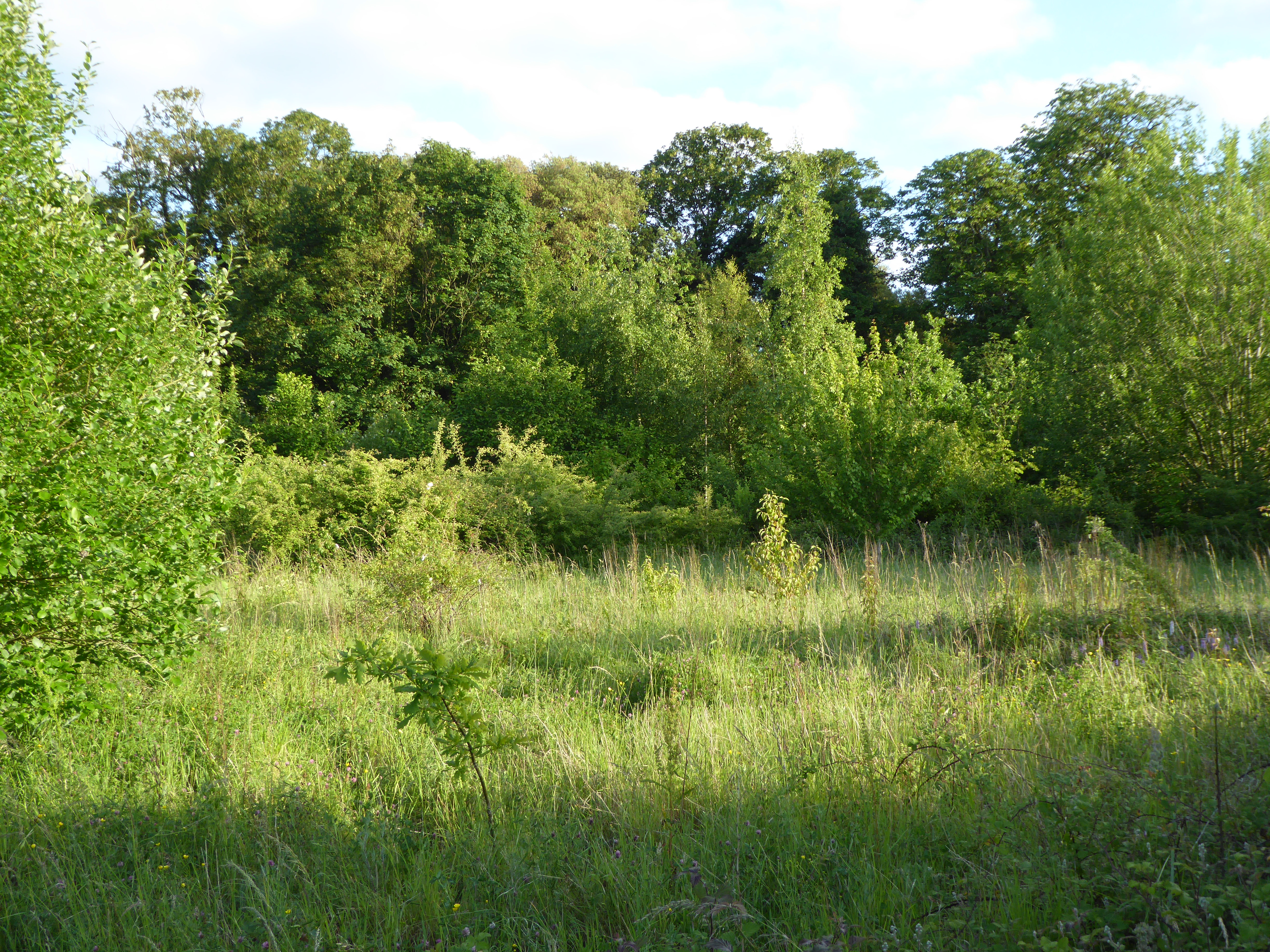
Moreton Hall Community Woods
Moreton Hall Community Woods is an 18.5 hectare local nature reserve in Bury St Edmunds in Suffolk. it is owned by West Suffolk Council and managed by...

Thurston Community College
Thurston Community College is a co-educational secondary school and sixth form located in Thurston, Suffolk, England. As of 2018, it has 1,733 students...
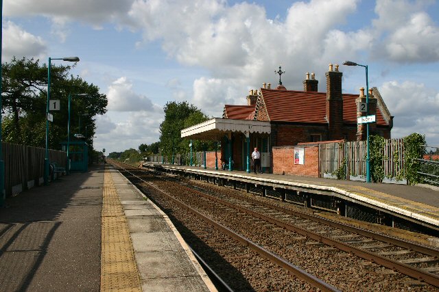
Thurston railway station
Thurston railway station serves the village of Thurston in Suffolk, England. The station, and all trains serving it, are operated by Greater Anglia. It...
The Glen Chalk Caves, Bury St Edmunds
The Glen Chalk Caves, Bury St Edmunds is a 1.6-hectare (4.0-acre) biological Site of Special Scientific Interest in Bury St Edmunds in Suffolk.Tunnels...
Nearby Amenities
Located within 500m of 52.261823,0.76811387Have you been to Church Water?
Leave your review of Church Water below (or comments, questions and feedback).