Barton, Great
Settlement in Suffolk West Suffolk
England
Barton, Great
Barton is a small village located in the district of Great Barton in the county of Suffolk, England. Situated approximately three miles northeast of the town of Bury St Edmunds, Barton is known for its picturesque countryside and rich historical heritage.
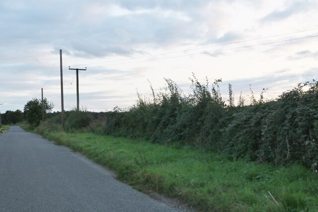
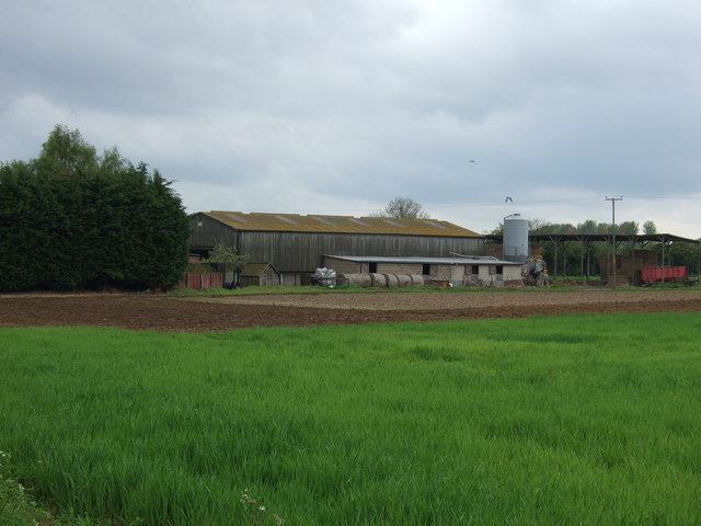
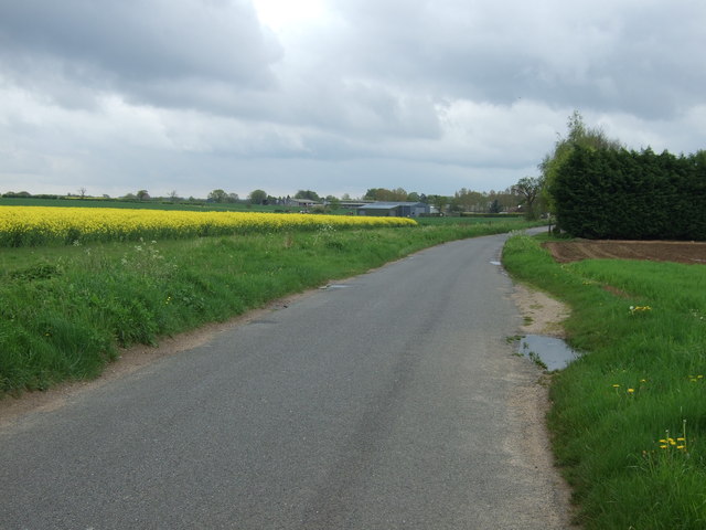
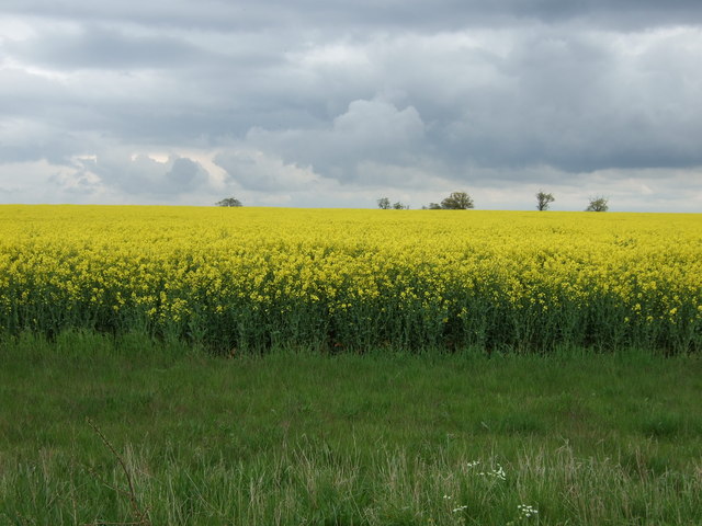
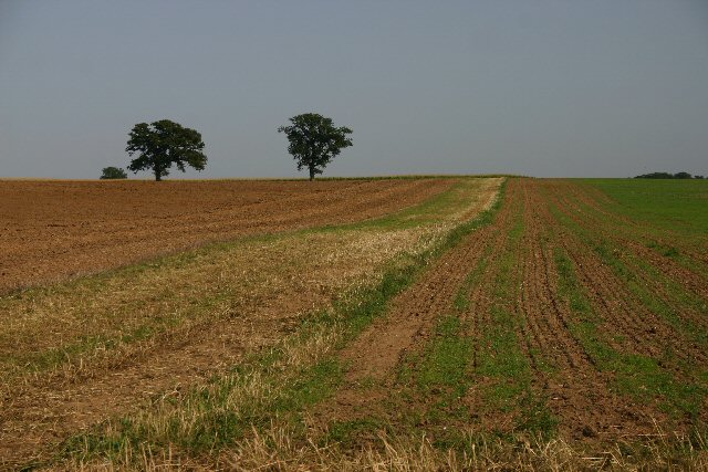
The village is surrounded by rolling hills and lush green fields, creating a tranquil and idyllic setting. It is primarily a residential area, with a close-knit community that takes pride in its rural charm. The village is home to a range of architectural styles, from traditional thatched cottages to more modern houses, blending the old with the new.
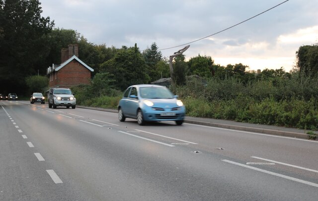
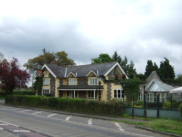
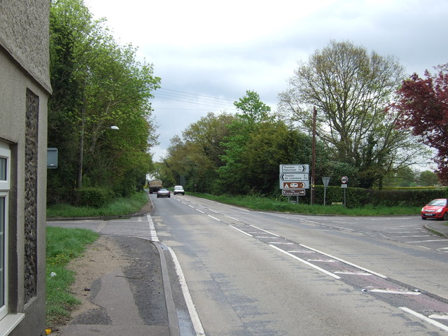
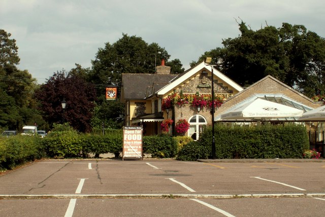
Barton boasts a number of amenities for its residents, including a local primary school, a village hall, a church, and a few small shops. The village is well-connected to the neighboring towns and cities through a network of well-maintained roads, making it easily accessible to both residents and visitors.
Despite its small size, Barton has a rich history that dates back centuries. It is believed that the village was settled during the Anglo-Saxon period and was mentioned in the Domesday Book of 1086. Many historical landmarks can still be found in and around Barton, including the St Peter's Church, which dates back to the 12th century.
Overall, Barton is a charming village that offers a peaceful and close-knit community, beautiful countryside, and a rich historical heritage. It is a place where residents can enjoy the best of rural living while still being within easy reach of nearby towns and cities.
If you have any feedback on the listing, please let us know in the comments section below.
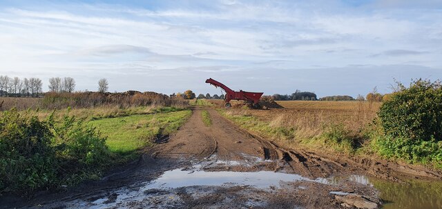
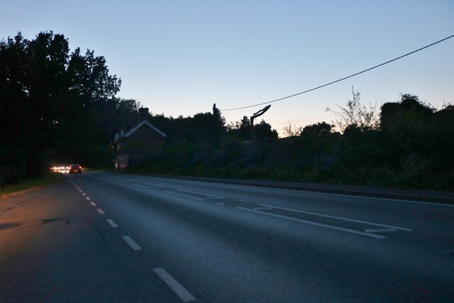
Barton, Great Images
Images are sourced within 2km of 52.268606/0.77072064 or Grid Reference TL8966. Thanks to Geograph Open Source API. All images are credited.


Barton, Great is located at Grid Ref: TL8966 (Lat: 52.268606, Lng: 0.77072064)
Administrative County: Suffolk
District: West Suffolk
Police Authority: Suffolk
What 3 Words
///monorail.surfaces.custodian. Near Great Barton, Suffolk
Nearby Locations
Related Wikis

Great Barton
Great Barton is a large village and civil parish in the West Suffolk district of Suffolk, England, about 3 miles (5 km) East of Bury St Edmunds on the...

Conyer's Green
Conyer's Green is a village in the civil parish of Great Barton, in the West Suffolk district, in the county of Suffolk, England.
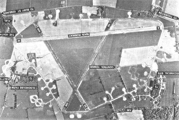
Rougham Airfield
Rougham Airfield, formerly Royal Air Force Bury St Edmunds or more simply RAF Bury St Edmunds is a former Royal Air Force station located 3 miles (4.8...

Thurston Community College
Thurston Community College is a co-educational secondary school and sixth form located in Thurston, Suffolk, England. As of 2018, it has 1,733 students...

Pakenham, Suffolk
Pakenham is a village and civil parish in the West Suffolk district of Suffolk in eastern England. Its name can be linked to Anglo-Saxon roots, Pacca being...
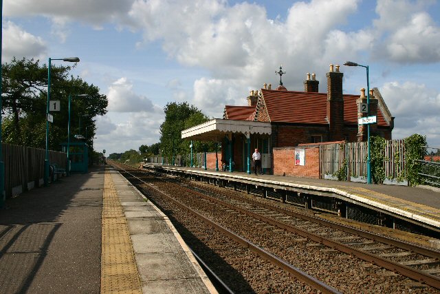
Thurston railway station
Thurston railway station serves the village of Thurston in Suffolk, England. The station, and all trains serving it, are operated by Greater Anglia. It...

Moreton Hall, Bury St Edmunds
Moreton Hall is a Grade II* listed building in Bury St Edmunds, a market town in the county of Suffolk, England. It was designed by the Scottish architect...
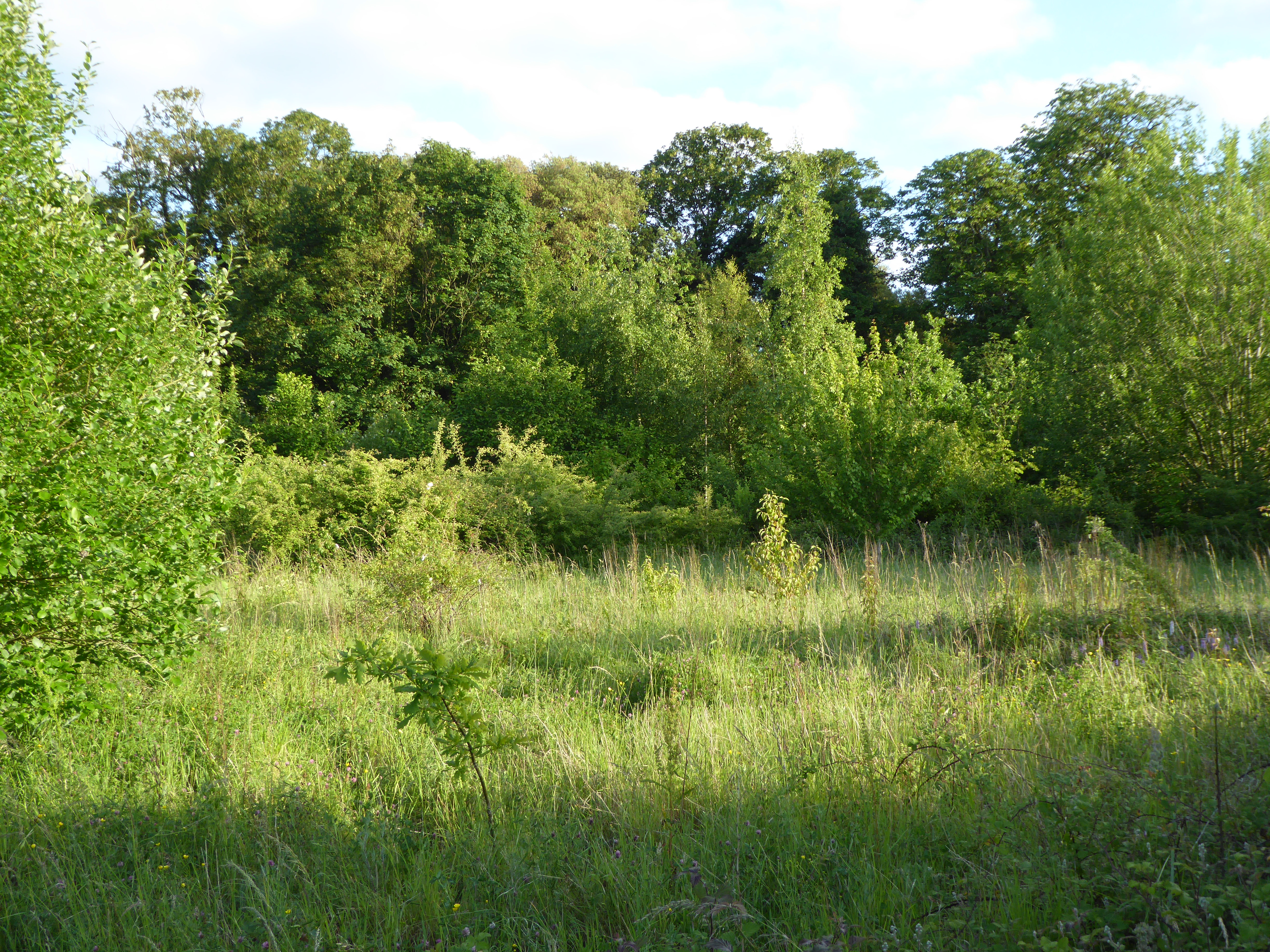
Moreton Hall Community Woods
Moreton Hall Community Woods is an 18.5 hectare local nature reserve in Bury St Edmunds in Suffolk. it is owned by West Suffolk Council and managed by...
Nearby Amenities
Located within 500m of 52.268606,0.77072064Have you been to Barton, Great?
Leave your review of Barton, Great below (or comments, questions and feedback).