Green Side
Settlement in Lancashire
England
Green Side
The requested URL returned error: 429 Too Many Requests
If you have any feedback on the listing, please let us know in the comments section below.
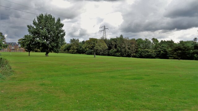
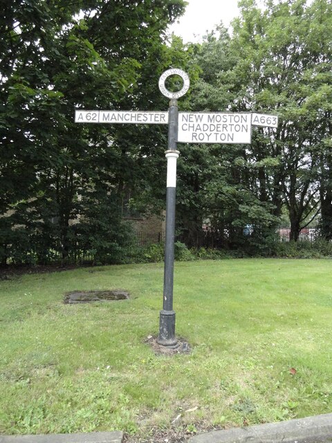
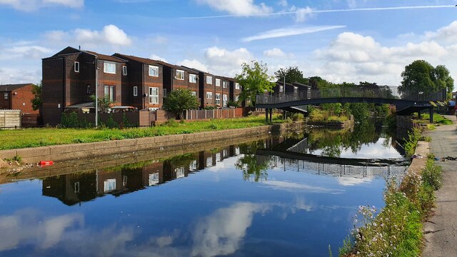
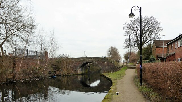
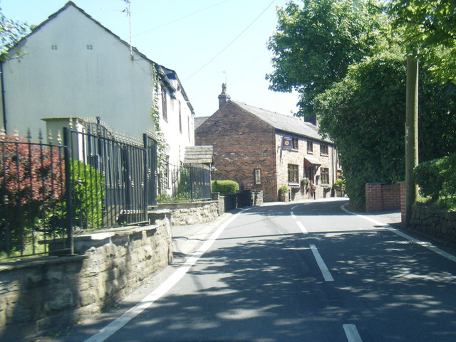
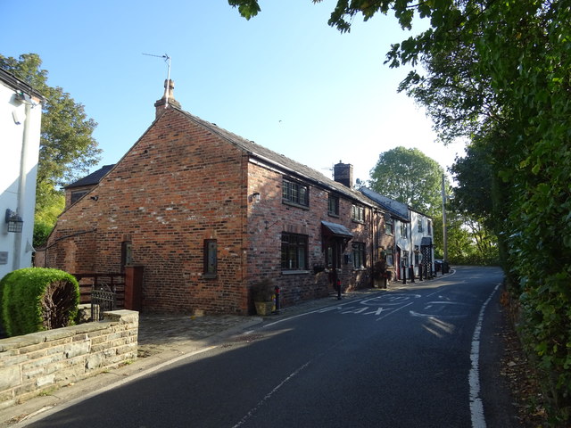
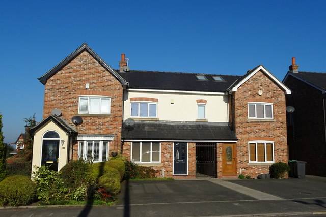
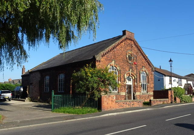
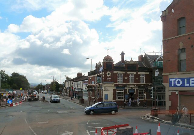
Green Side Images
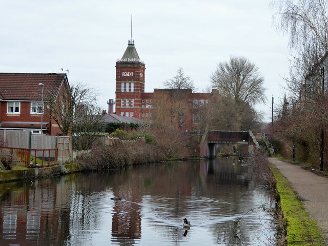
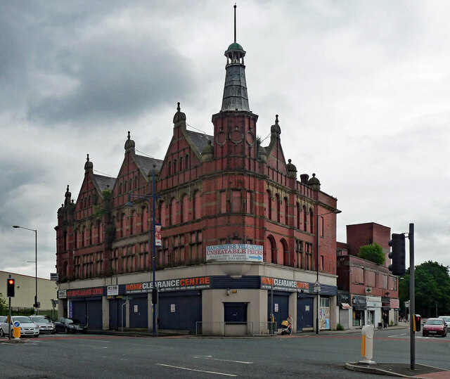
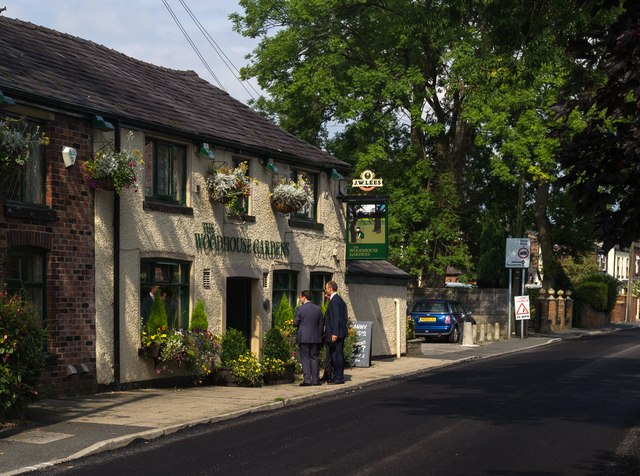
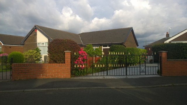
Images are sourced within 2km of 53.492092/-2.159737 or Grid Reference SJ8999. Thanks to Geograph Open Source API. All images are credited.


Green Side is located at Grid Ref: SJ8999 (Lat: 53.492092, Lng: -2.159737)
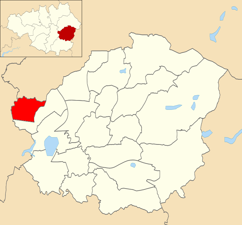
Unitary Authority: Tameside
Police Authority: Greater Manchester
What 3 Words
///seat.client.button. Near Failsworth, Manchester
Nearby Locations
Related Wikis

Clayton Bridge railway station
Clayton Bridge railway station, Manchester, was a railway station that served the locality between 1846 and 1968. == Construction, opening and ownership... ==
Droylsden West (ward)
Droylsden West is an electoral ward of Tameside, England. It is represented in Westminster by Angela Rayner Labour MP for Ashton-under-Lyne. == Councillors... ==
Droylsden
Droylsden is a town in Tameside, Greater Manchester, England, 4.1 miles (6.6 km) east of Manchester city centre and 2.2 miles (3.5 km) west of Ashton-under...

Droylsden Academy
Droylsden Academy is a secondary school in Droylsden, Manchester. It opened in September 2009 on the site of the former Droylsden School, Mathematics and...
Nearby Amenities
Located within 500m of 53.492092,-2.159737Have you been to Green Side?
Leave your review of Green Side below (or comments, questions and feedback).