Green Side
Settlement in Yorkshire
England
Green Side

The requested URL returned error: 429 Too Many Requests
If you have any feedback on the listing, please let us know in the comments section below.
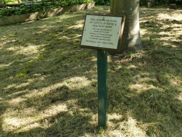
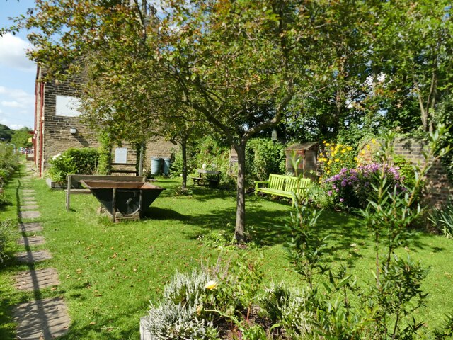
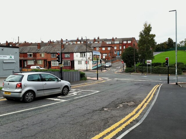
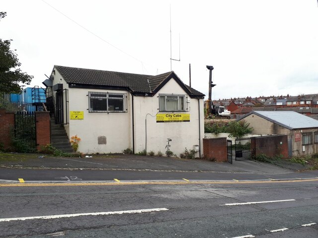
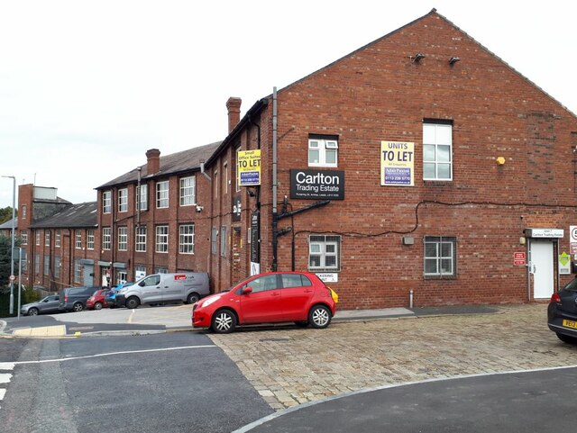
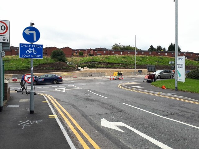
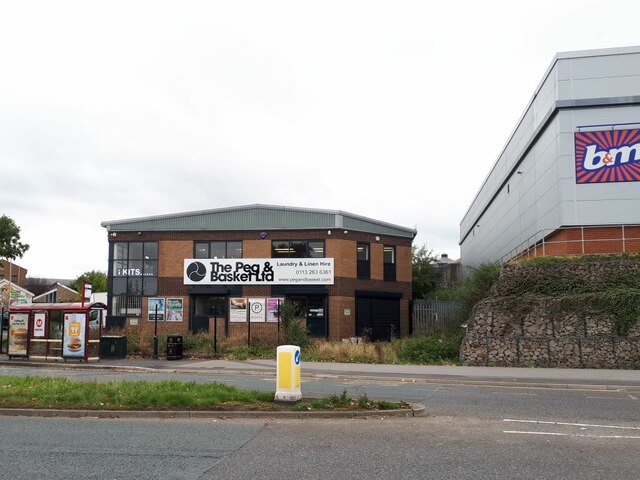
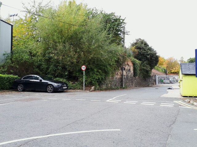
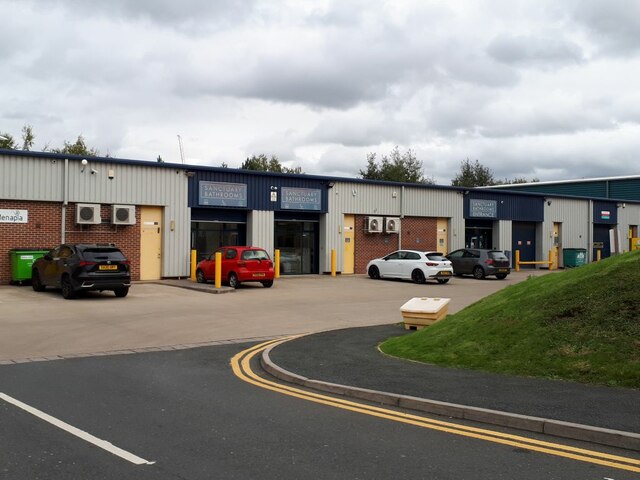
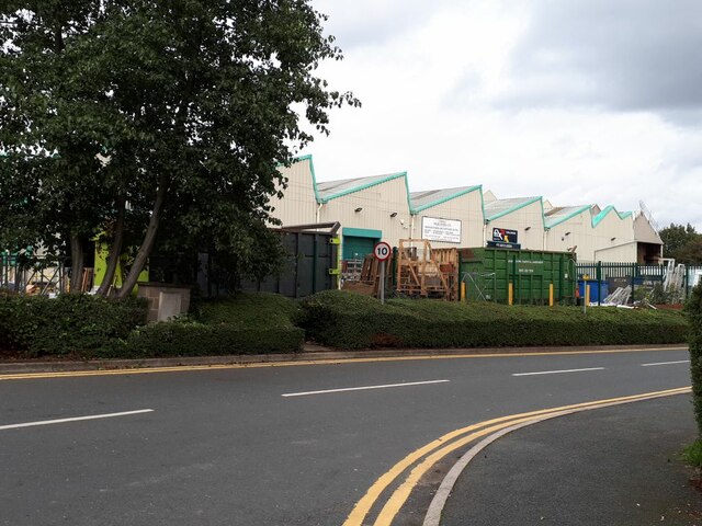
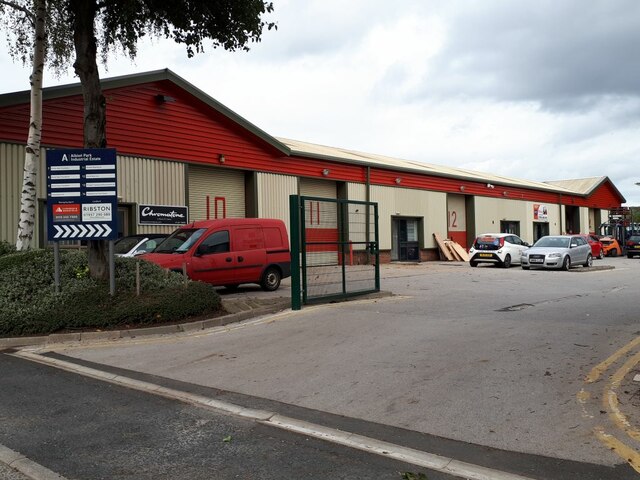
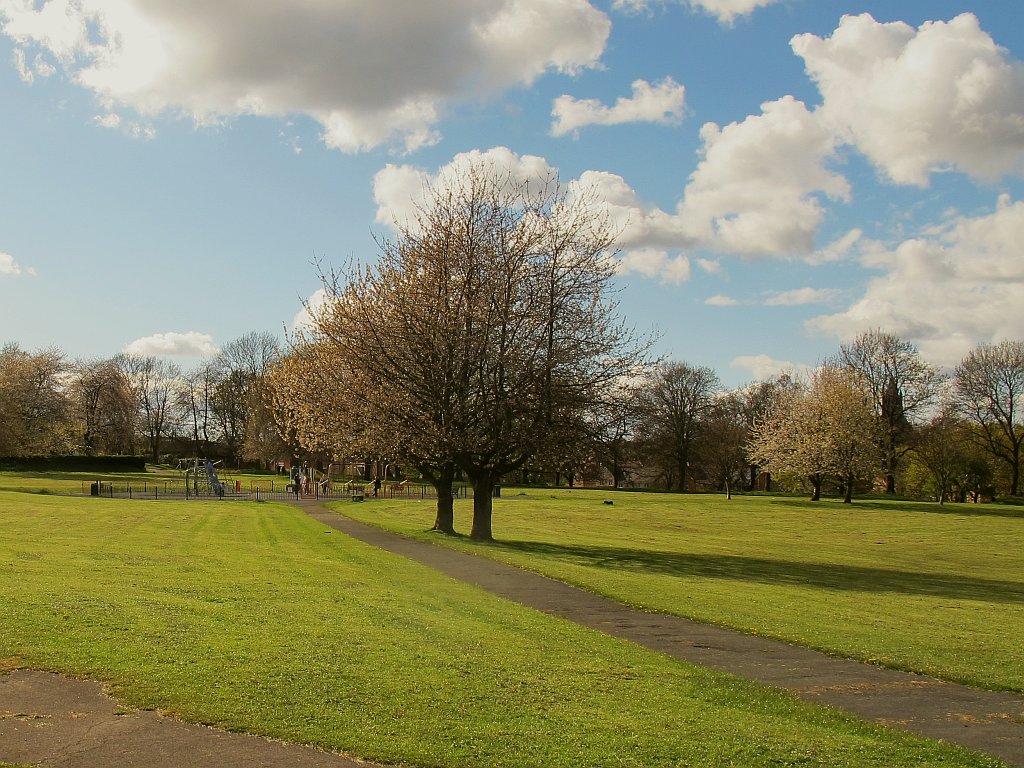
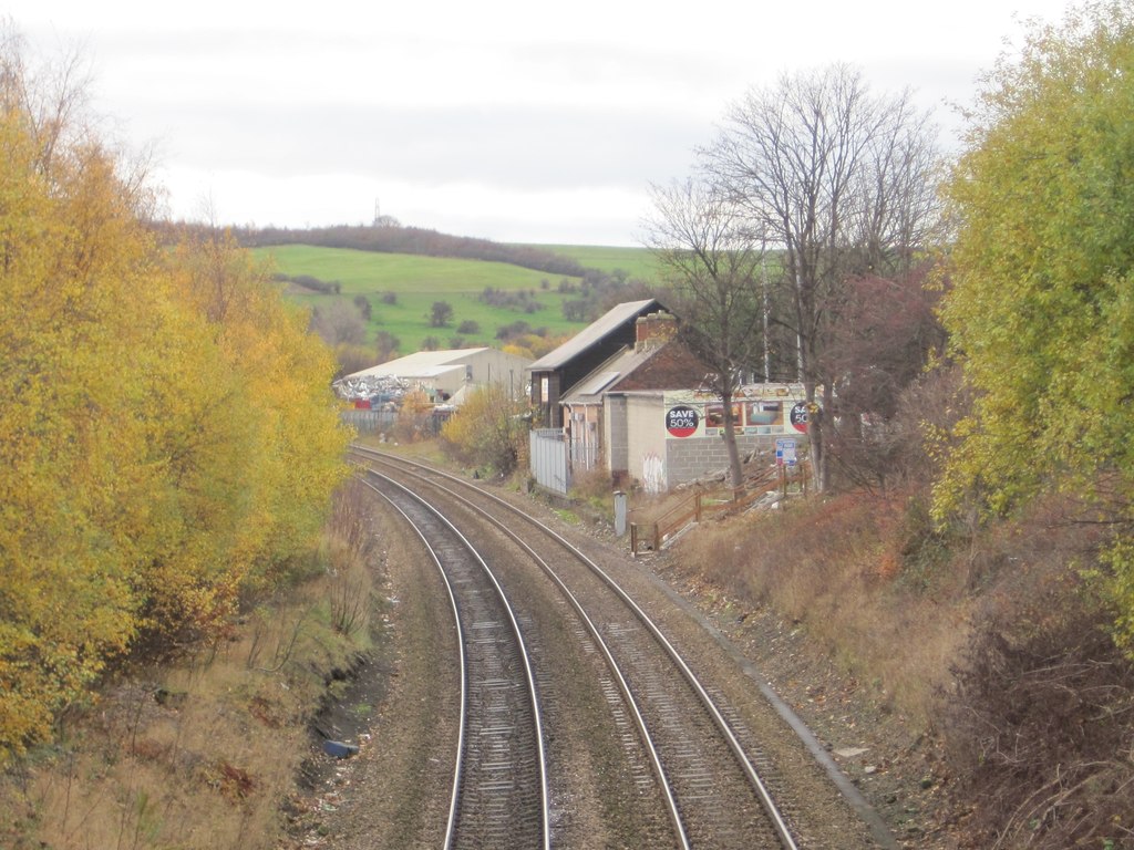
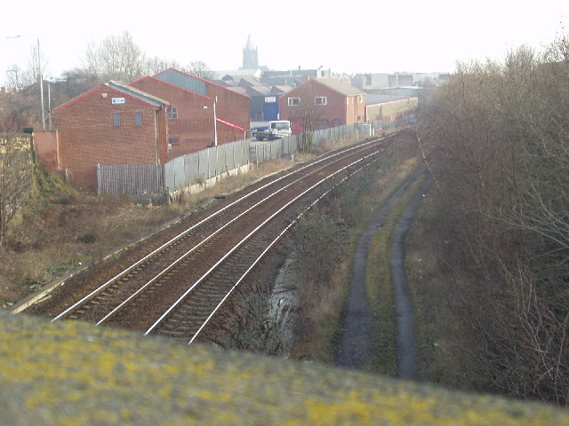
Green Side Images
Images are sourced within 2km of 53.785868/-1.590167 or Grid Reference SE2732. Thanks to Geograph Open Source API. All images are credited.


Green Side is located at Grid Ref: SE2732 (Lat: 53.785868, Lng: -1.590167)
Division: West Riding
Unitary Authority: Leeds
Police Authority: West Yorkshire
What 3 Words
///onion.lawn.dark. Near Holbeck, West Yorkshire
Nearby Locations
Related Wikis
Wortley, Leeds
Wortley ( WURT-lee) is an inner city area of Leeds, West Yorkshire, England. It begins one mile to the west of the city centre. The appropriate City of...
Farnley and Wortley railway station
Farnley and Wortley railway station served the districts of Farnley and Wortley in Leeds, England from 1848 to 1952 on the Huddersfield line. == History... ==
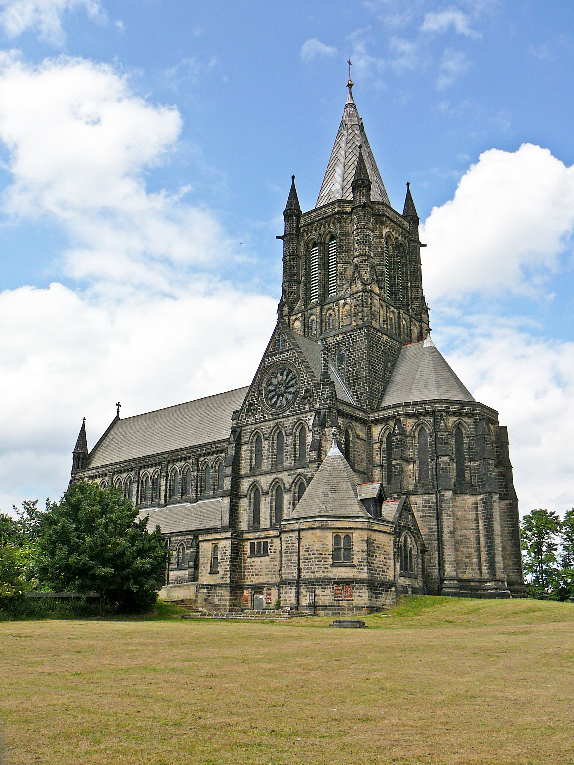
St Bartholomew's Church, Armley
St Bartholomew's Church, Armley is a parish church in the Church of England in Armley, West Yorkshire. The church is one of two Church of England churches...
Armley Moor railway station
Armley Moor railway station was a station on the former Great Northern Railway between Leeds and Bramley. The location was between Carr Crofts and Wortley...
Nearby Amenities
Located within 500m of 53.785868,-1.590167Have you been to Green Side?
Leave your review of Green Side below (or comments, questions and feedback).