Ampton Water
Lake, Pool, Pond, Freshwater Marsh in Suffolk West Suffolk
England
Ampton Water
Ampton Water, located in Suffolk, England, is a picturesque freshwater marsh that encompasses a lake, pool, pond, and a variety of natural habitats. It covers an area of approximately 15 acres and is a part of the larger Ampton Estate.
The lake at Ampton Water is the centerpiece of the site, with a surface area of around 5 acres. It is fed by several small streams and springs, ensuring a constant flow of freshwater. The lake is surrounded by lush vegetation, including reeds, rushes, and water lilies. Its crystal-clear water provides a habitat for a diverse range of aquatic plants and animals.
Adjacent to the lake is a pool, which is slightly smaller in size. This pool is characterized by its shallow depths and is home to various species of fish, including roach, bream, and perch. Anglers often visit Ampton Water to enjoy the peaceful surroundings and try their luck at catching these fish.
The pond at Ampton Water is relatively small, but it is teeming with life. It serves as a breeding ground for amphibians, including frogs and newts. The pond is also a popular spot for birdwatching, attracting a variety of waterfowl and wading birds.
The freshwater marsh surrounding the lake, pool, and pond is a vital habitat for numerous species of plants and animals. It consists of wetland vegetation, such as sedges and grasses, which thrive in the nutrient-rich soil. This marshland is a haven for various bird species, including herons, ducks, and kingfishers, which can often be spotted hunting for food or nesting in the area.
Overall, Ampton Water in Suffolk offers a tranquil and biodiverse environment, attracting nature enthusiasts, anglers, and birdwatchers alike.
If you have any feedback on the listing, please let us know in the comments section below.
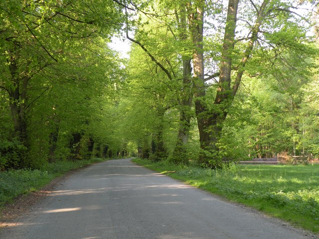
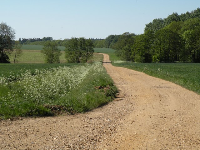
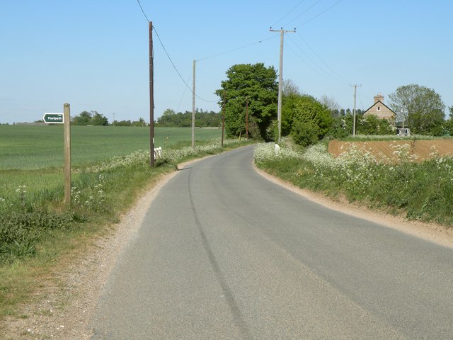
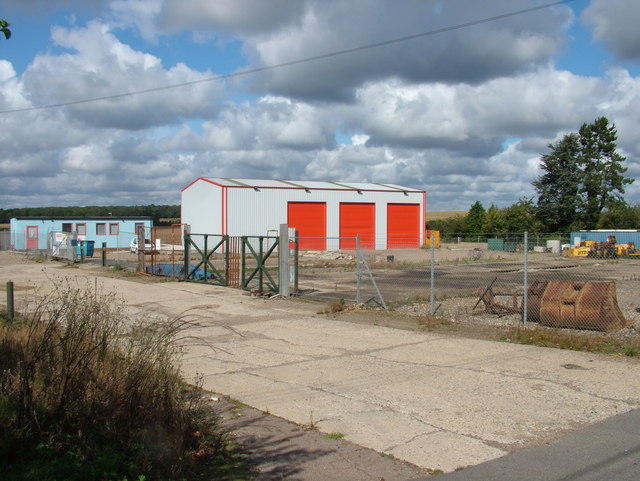
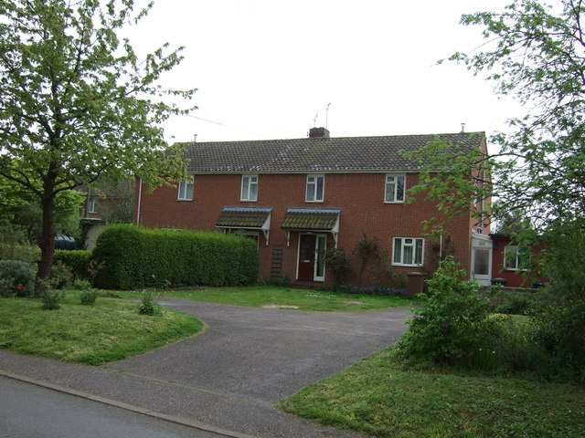
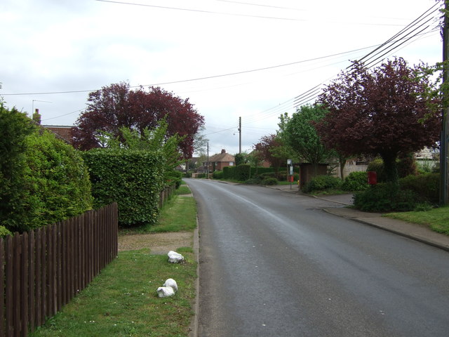
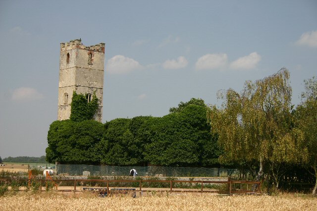
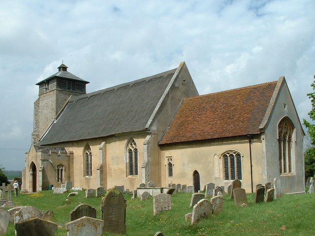
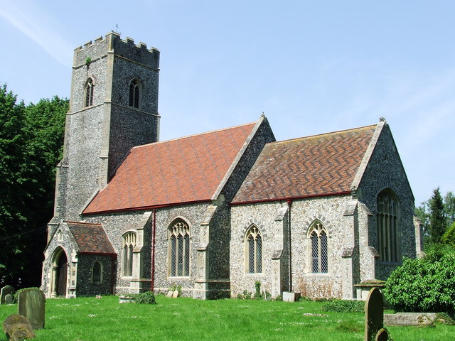
Ampton Water Images
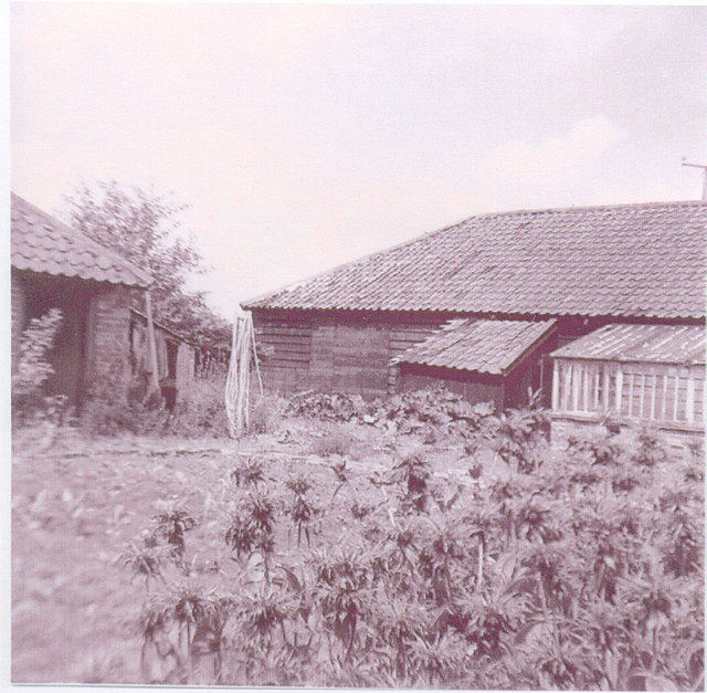
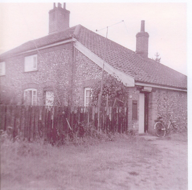
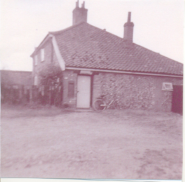
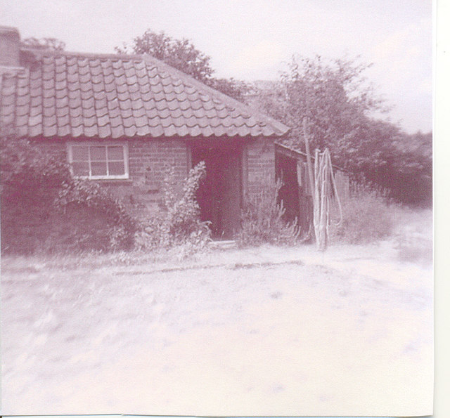
Images are sourced within 2km of 52.301707/0.74422672 or Grid Reference TL8770. Thanks to Geograph Open Source API. All images are credited.
Ampton Water is located at Grid Ref: TL8770 (Lat: 52.301707, Lng: 0.74422672)
Administrative County: Suffolk
District: West Suffolk
Police Authority: Suffolk
What 3 Words
///standard.midwinter.posts. Near Great Barton, Suffolk
Nearby Locations
Related Wikis
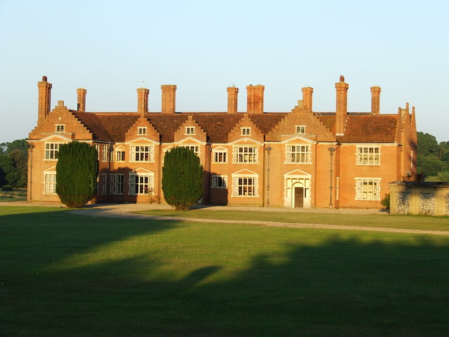
Ampton Hall
Ampton Hall is a Grade II-listed Jacobean style manor house in Ampton, Suffolk, England. Ampton Hall was the birthplace in 1805 of Robert FitzRoy, who...

Ampton
Ampton is a village and civil parish in the West Suffolk District of Suffolk, England, about five miles north of Bury St Edmunds. According to Eilert Ekwall...
Little Livermere
Little Livermere is a village and civil parish in England situated about 5 miles (8 km) north of Bury St Edmunds, in an area of Suffolk known as the Breckland...

Ingham railway station
Ingham railway station was a railway station in Ingham, Suffolk which was located was on the route between Thetford and Bury St Edmunds. == History... ==
Great Livermere
Great Livermere is a village and civil parish in the West Suffolk district of Suffolk in eastern England. It is located around four miles north-east of...
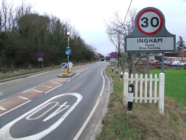
Ingham, Suffolk
Ingham is a village and civil parish in the West Suffolk district of Suffolk in eastern England, located about six miles north of Bury St Edmunds on the...

Timworth
Timworth is a village and civil parish 65 mi (105 km) north east of London and 26 mi (42 km) east of Cambridge in the West Suffolk district of Suffolk...

Troston
Troston is a village and civil parish in Suffolk, England, five miles north-east of Bury St Edmunds. Its parish church contains rare mediaeval wall paintings...
Have you been to Ampton Water?
Leave your review of Ampton Water below (or comments, questions and feedback).