Wadgate Plantation
Wood, Forest in Suffolk West Suffolk
England
Wadgate Plantation
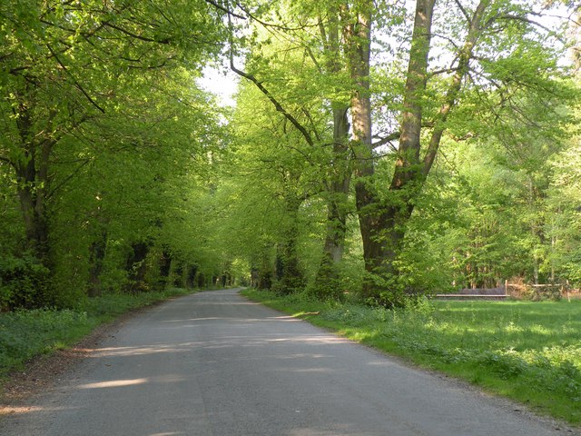
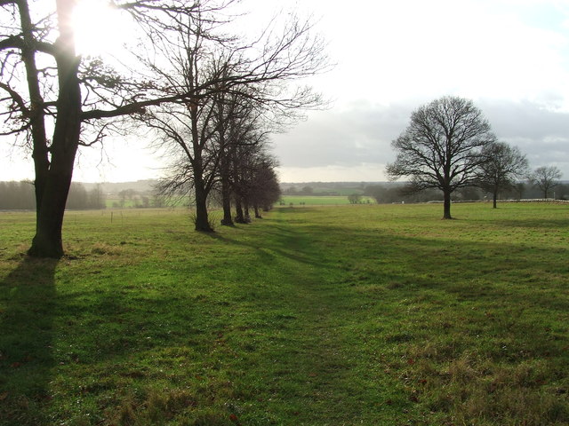
Wadgate Plantation is a captivating woodland area located in Suffolk, England. This beautiful plantation covers an expansive area of land, providing a serene and picturesque environment for visitors to explore. Nestled within the heart of the Suffolk countryside, Wadgate Plantation offers a diverse range of flora and fauna, making it a haven for nature enthusiasts and wildlife lovers alike.
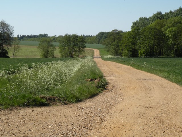
The woodland boasts a rich history, dating back several centuries. It was once a thriving hub for timber production, with many of the trees having been carefully managed and cultivated for this purpose. Today, remnants of this past can still be seen in the well-preserved pathways and clearings that crisscross the plantation.
Wadgate Plantation is home to an array of tree species, including oak, ash, birch, and beech, which create a vibrant and varied canopy overhead. The forest floor is adorned with a carpet of wildflowers and ferns, adding to the enchanting atmosphere of the woodland.
Visitors to Wadgate Plantation can enjoy a multitude of activities, such as walking, cycling, and bird watching. The plantation is traversed by an extensive network of trails, allowing visitors to explore its many hidden corners and discover its natural wonders. The plantation is also frequented by a diverse range of bird species, making it an ideal spot for bird watchers to observe and admire these feathered creatures in their natural habitat.
Overall, Wadgate Plantation is a captivating woodland destination, offering a tranquil escape from the hustle and bustle of everyday life. Its natural beauty, rich history, and abundant wildlife make it a must-visit location for anyone seeking to connect with nature in the heart of Suffolk.
If you have any feedback on the listing, please let us know in the comments section below.
Wadgate Plantation Images
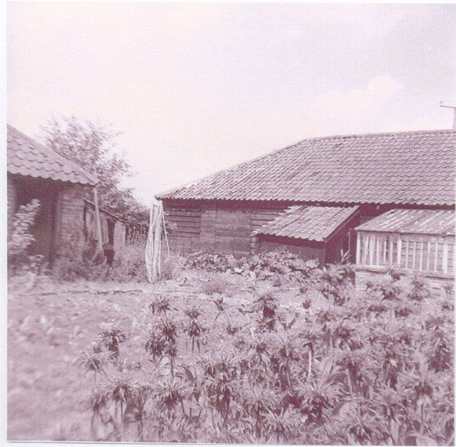
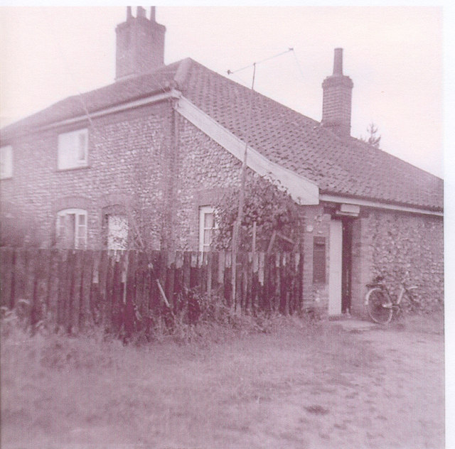
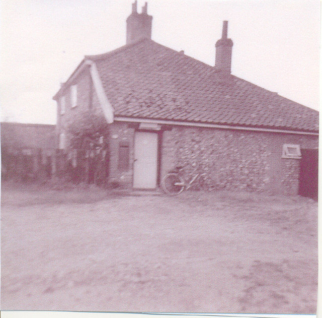
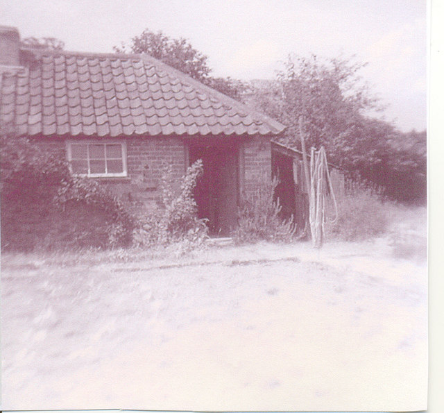
Images are sourced within 2km of 52.296251/0.75028424 or Grid Reference TL8770. Thanks to Geograph Open Source API. All images are credited.


Wadgate Plantation is located at Grid Ref: TL8770 (Lat: 52.296251, Lng: 0.75028424)
Administrative County: Suffolk
District: West Suffolk
Police Authority: Suffolk
What 3 Words
///kite.interacts.shelters. Near Great Barton, Suffolk
Nearby Locations
Related Wikis
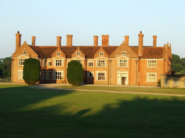
Ampton Hall
Ampton Hall is a Grade II-listed Jacobean style manor house in Ampton, Suffolk, England. Ampton Hall was the birthplace in 1805 of Robert FitzRoy, who...

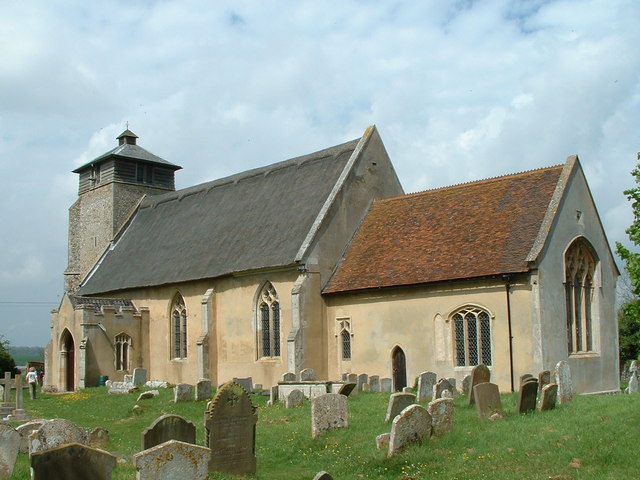
Ampton
Ampton is a village and civil parish in the West Suffolk District of Suffolk, England, about five miles north of Bury St Edmunds. According to Eilert Ekwall...
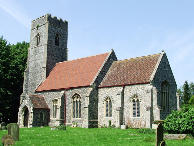
Great Livermere
Great Livermere is a village and civil parish in the West Suffolk district of Suffolk in eastern England. It is located around four miles north-east of...

Timworth
Timworth is a village and civil parish 65 mi (105 km) north east of London and 26 mi (42 km) east of Cambridge in the West Suffolk district of Suffolk...
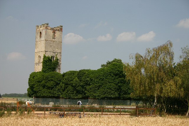
Little Livermere
Little Livermere is a village and civil parish in England situated about 5 miles (8 km) north of Bury St Edmunds, in an area of Suffolk known as the Breckland...

Ingham railway station
Ingham railway station was a railway station in Ingham, Suffolk which was located was on the route between Thetford and Bury St Edmunds. == History... ==
Ingham, Suffolk
Ingham is a village and civil parish in the West Suffolk district of Suffolk in eastern England, located about six miles north of Bury St Edmunds on the...

Conyer's Green
Conyer's Green is a village in the civil parish of Great Barton, in the West Suffolk district, in the county of Suffolk, England.
Nearby Amenities
Located within 500m of 52.296251,0.75028424Have you been to Wadgate Plantation?
Leave your review of Wadgate Plantation below (or comments, questions and feedback).