Deepdale Broad
Lake, Pool, Pond, Freshwater Marsh in Norfolk King's Lynn and West Norfolk
England
Deepdale Broad

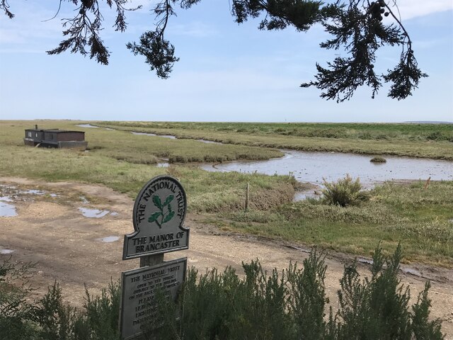
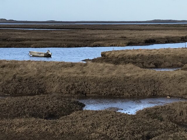
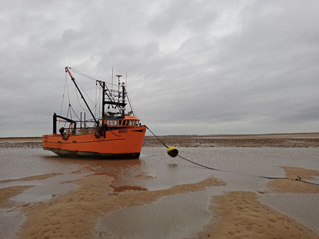
Deepdale Broad is a picturesque freshwater marsh located in Norfolk, England. It is a tranquil and serene body of water, often referred to as a lake, pool, or pond due to its size and geographical features. Covering an area of approximately 10 acres, it is surrounded by lush vegetation and reed beds, creating a rich habitat for a variety of plant and animal species.
The broad is fed by natural springs and rainfall, ensuring a constant flow of freshwater. Its depth varies throughout the year, ranging from shallow areas perfect for wading birds to deeper sections suitable for fish and other aquatic life. The water is typically clear and clean, providing an ideal environment for various species of fish, including pike, roach, and perch, which attract anglers from near and far.
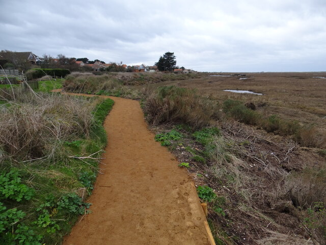
The surrounding marshland is a haven for diverse flora and fauna. Tall reed beds and water lilies adorn the edges of the broad, providing shelter and nesting sites for birds such as swans, herons, and mallards. The marshland is also home to numerous insects, amphibians, and small mammals, which thrive in the abundant vegetation and wetland environment.
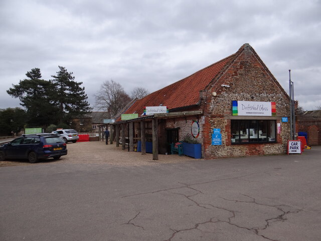
Deepdale Broad is a popular destination for nature enthusiasts, birdwatchers, and fishermen alike. There are several footpaths and viewing platforms surrounding the broad, allowing visitors to observe and appreciate the wildlife without disturbing their natural habitat. It is a tranquil retreat where one can immerse themselves in the beauty of nature and enjoy the peaceful ambiance of this remarkable freshwater marsh.
If you have any feedback on the listing, please let us know in the comments section below.
Deepdale Broad Images
Images are sourced within 2km of 52.971054/0.70401624 or Grid Reference TF8144. Thanks to Geograph Open Source API. All images are credited.


Deepdale Broad is located at Grid Ref: TF8144 (Lat: 52.971054, Lng: 0.70401624)
Administrative County: Norfolk
District: King's Lynn and West Norfolk
Police Authority: Norfolk
What 3 Words
///hindered.directs.swatted. Near Wells-next-the-Sea, Norfolk
Nearby Locations
Related Wikis

Scolt Head Island
Scolt Head Island is an offshore barrier island between Brancaster and Wells-next-the-Sea in north Norfolk. It is in the parish of Burnham Norton and is...

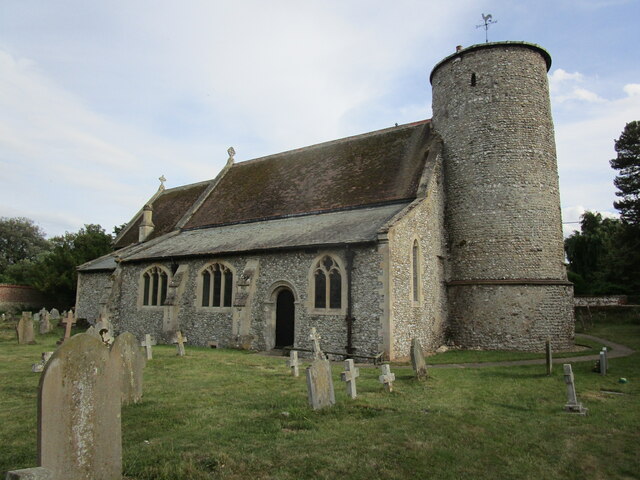
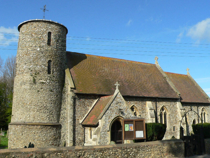
St Mary's Church, Burnham Deepdale
St Mary's Church is a round-tower church in Burnham Deepdale, Norfolk, England. Its round tower and some other parts of the building date from the 11th...
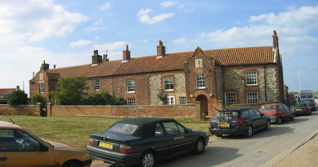
Burnham Deepdale
Burnham Deepdale is a village and former civil parish, now in the parish of Brancaster, in the King's Lynn and West Norfolk district, on the north coast...

Burnham Norton
Burnham Norton is a village and civil parish in the English county of Norfolk, one of the Burnhams, an adjacent group in the northernmost part of Norfolk...
Brancaster Staithe
Brancaster Staithe is a village on the north coast of the English county of Norfolk. Brancaster Staithe merges with Burnham Deepdale, forming one village...
River Burn, Norfolk
The River Burn (also known as "Nelsons River") is a river in the northwest of the County of Norfolk, in the East of England. From its source to its mouth...
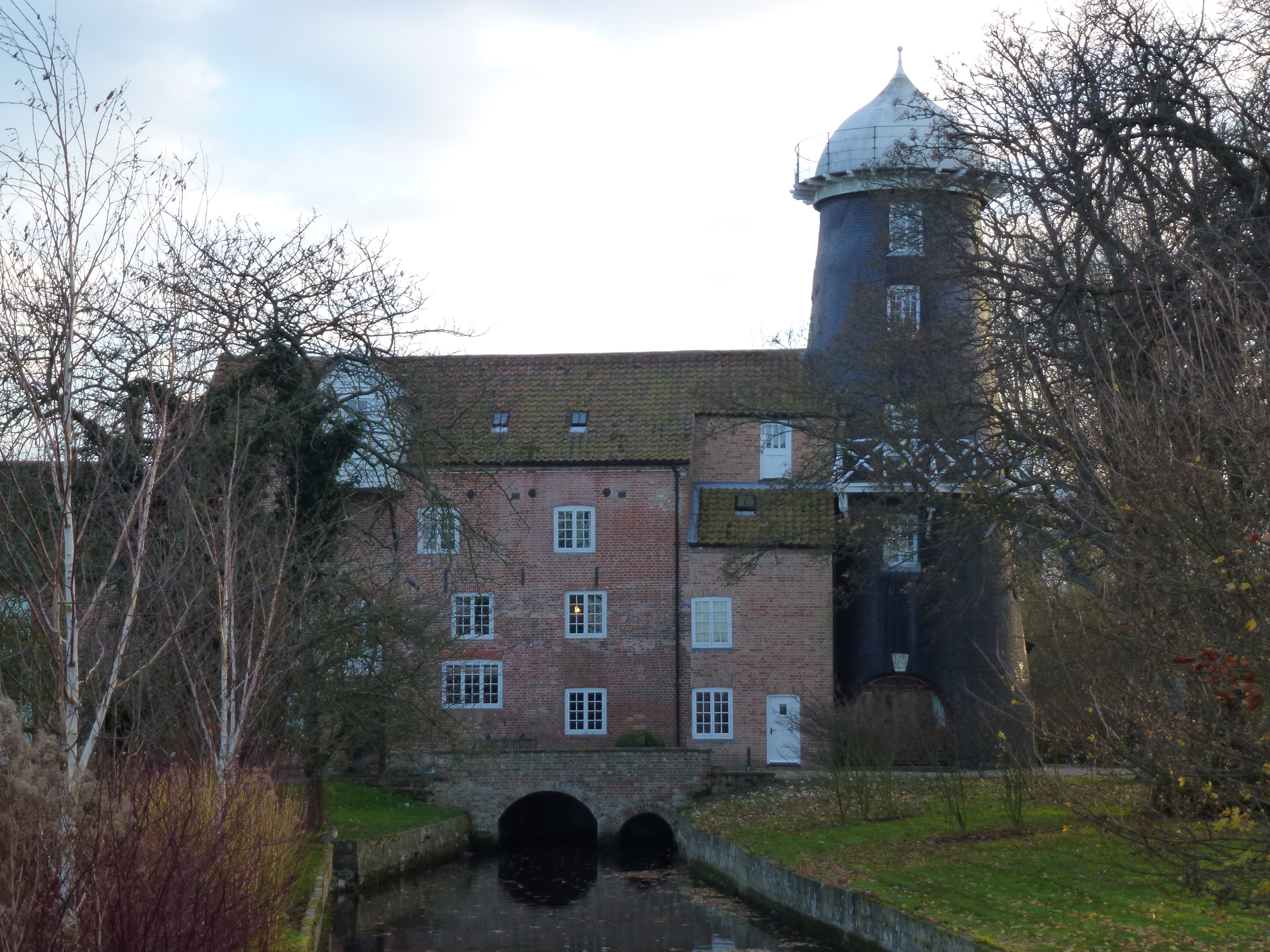
Union Mills, Burnham Overy
Union Mills or Roy's Mills are a Grade II listed combined tower mill and watermill at Burnham Overy, Norfolk, England which has been converted to residential...

Burnham Overy Staithe Windmill
Burnham Overy Staithe Windmill is a Grade II* listed building tower mill at Burnham Overy Staithe, Norfolk, England which has been converted to holiday...
Have you been to Deepdale Broad?
Leave your review of Deepdale Broad below (or comments, questions and feedback).