Badgeney
Settlement in Cambridgeshire Fenland
England
Badgeney
Badgeney is a small hamlet located in the county of Cambridgeshire, England. Situated approximately 3 miles east of the town of March, Badgeney is nestled amidst the picturesque Fens region.
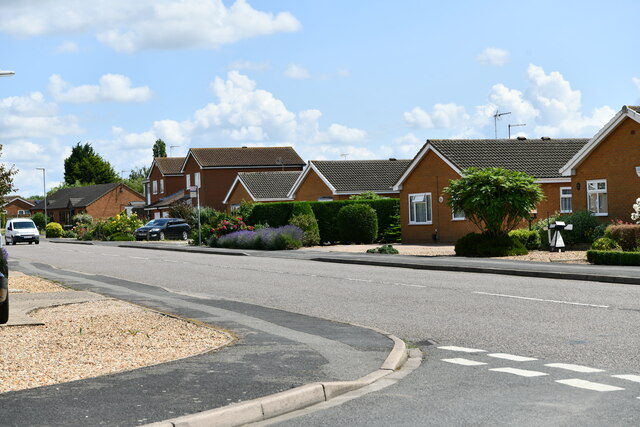
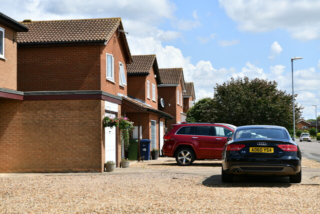
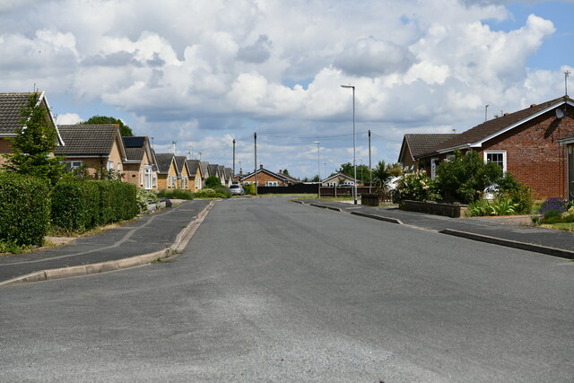
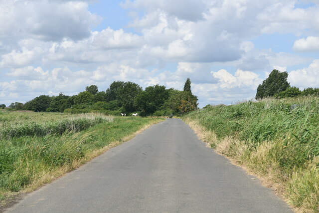
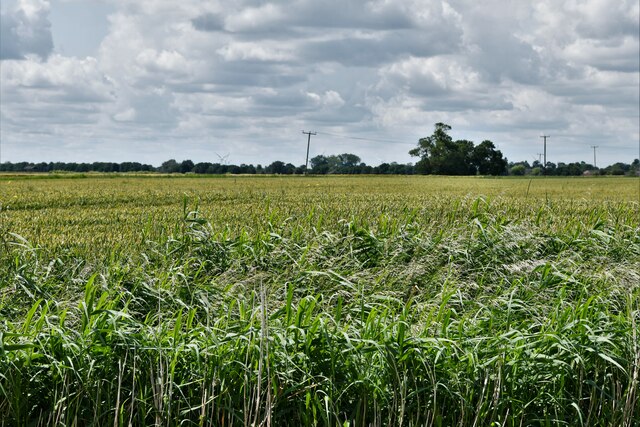
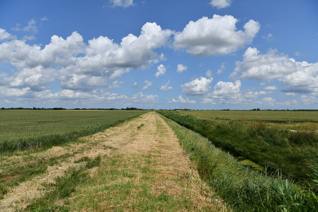
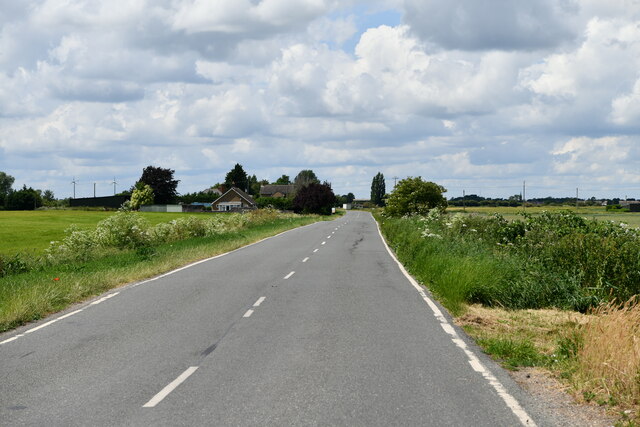
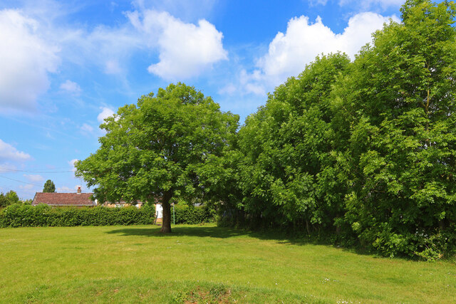
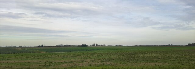
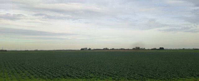
The hamlet is characterized by its tranquil rural setting, with vast stretches of open fields and meadows surrounding it. The landscape of Badgeney is dotted with charming cottages and farmhouses, reflecting the area's agricultural heritage.
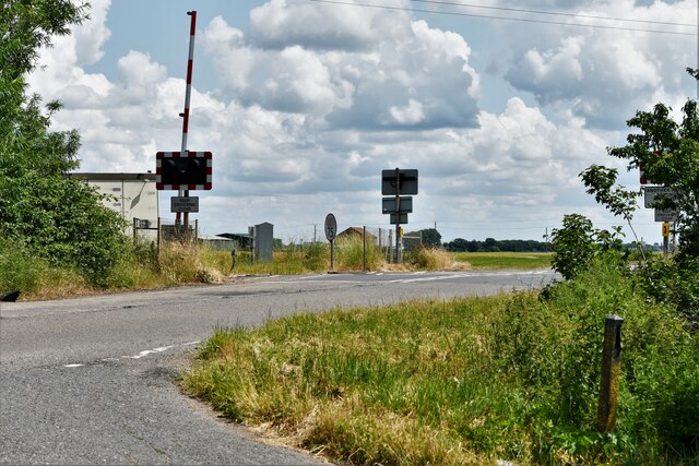
Despite its small size, Badgeney holds historical significance. It was originally mentioned in the Domesday Book of 1086 and has retained its rural charm throughout the centuries. The nearby Norwood Road is known for its ancient Roman road, which once served as a crucial trade route connecting the region.
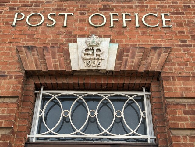
Although Badgeney itself does not boast a wide range of amenities, the nearby town of March provides residents with access to various facilities, including shops, schools, and healthcare services. The hamlet benefits from its proximity to the town, allowing residents to enjoy the peace and tranquility of a rural lifestyle while still having easy access to essential amenities.
Nature enthusiasts will find plenty to appreciate in Badgeney. The surrounding Fens region offers ample opportunities for outdoor activities such as walking, cycling, and birdwatching. The area is known for its diverse wildlife and scenic beauty, attracting visitors from near and far.
In summary, Badgeney is a picturesque hamlet in Cambridgeshire, known for its rural charm, historical significance, and proximity to the Fens. Its tranquil setting and easy access to nearby amenities make it an attractive place to reside for those seeking a peaceful countryside lifestyle.
If you have any feedback on the listing, please let us know in the comments section below.
Badgeney Images
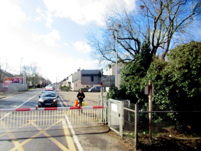
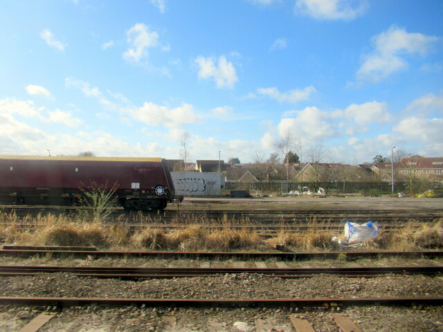
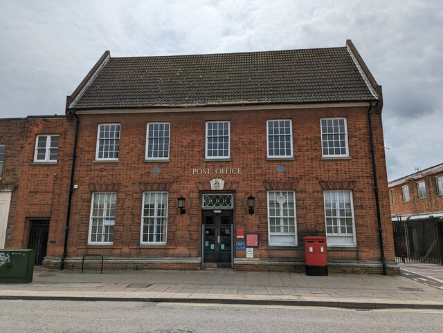
Images are sourced within 2km of 52.552032/0.107717 or Grid Reference TL4397. Thanks to Geograph Open Source API. All images are credited.
Badgeney is located at Grid Ref: TL4397 (Lat: 52.552032, Lng: 0.107717)
Division: Isle of Ely
Administrative County: Cambridgeshire
District: Fenland
Police Authority: Cambridgeshire
What 3 Words
///shaves.sandals.composes. Near March, Cambridgeshire
Nearby Locations
Related Wikis
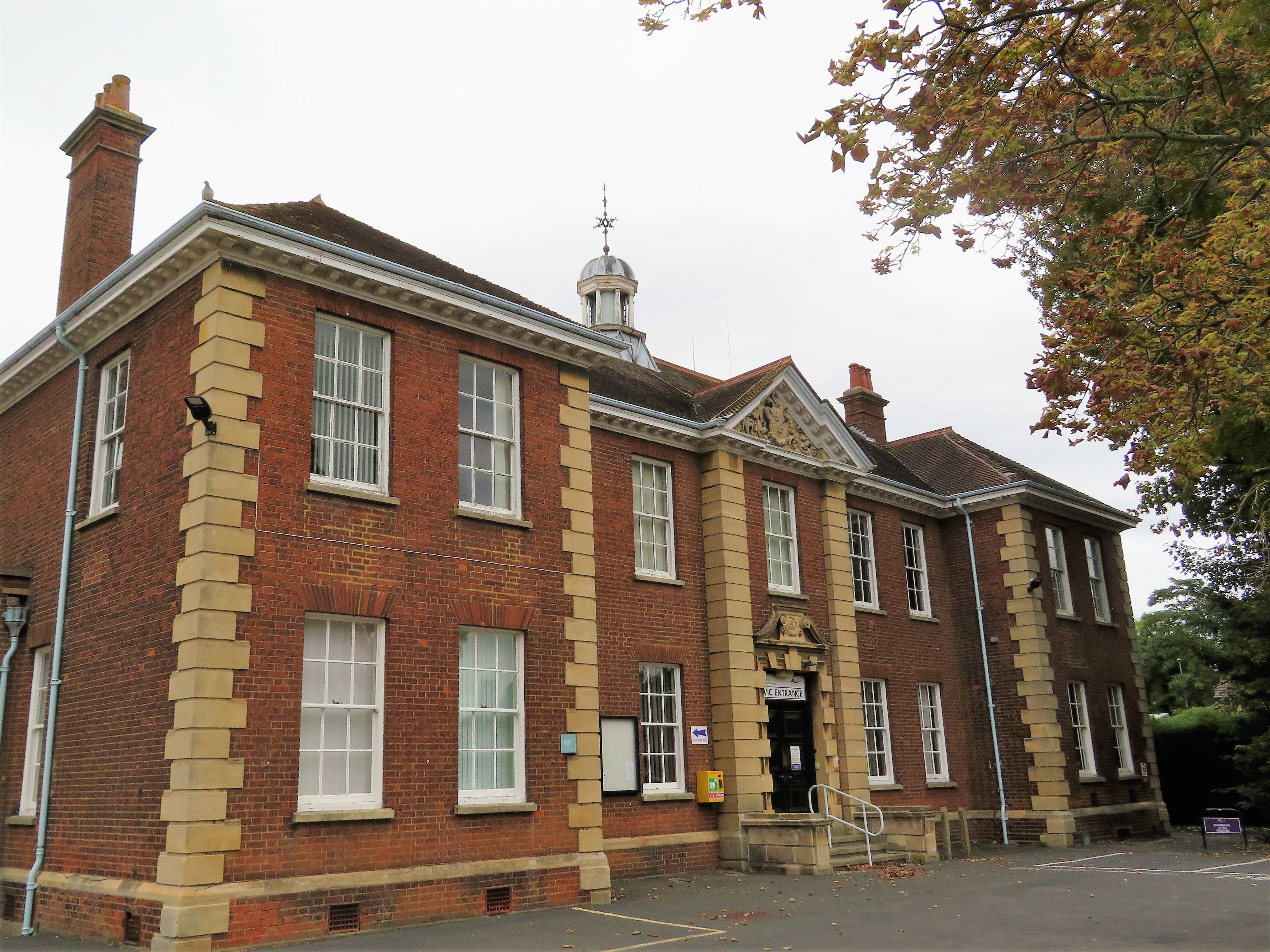
Fenland Hall, March
Fenland Hall is a municipal building on County Road, March, Cambridgeshire, England, which serves as the headquarters of Fenland District Council. The...

March Town Hall
March Town Hall is a municipal building in the Market Square in March, Cambridgeshire, England. The building, which was the headquarters of March Urban...

March, Cambridgeshire
March is a Fenland market town and civil parish in the Isle of Ely area of Cambridgeshire, England. It was the county town of the Isle of Ely which was...

Dunhams Wood
Dunhams Wood is a privately owned broadleaved woodland that is occasionally open to the public. The area was planted over a period of 6 years starting...
March Town United F.C.
March Town United Football Club is a football club based in March, Cambridgeshire, England. They are currently members of the United Counties League Premier...

March railway station
March railway station is on the Ely–Peterborough line in the east of England and serves the market town of March, Cambridgeshire. It is 85 miles 76 chains...

Norwood Road
Norwood Road is a 2.6-hectare (6.4-acre) nature reserve in March in Cambridgeshire. It is managed by the Wildlife Trust for Bedfordshire, Cambridgeshire...
Norwood Road nature reserve
Norwood Road is a nature reserve managed by the Wildlife Trust for Bedfordshire, Cambridgeshire, Northamptonshire and Peterborough. It lies in the centre...
Nearby Amenities
Located within 500m of 52.552032,0.107717Have you been to Badgeney?
Leave your review of Badgeney below (or comments, questions and feedback).