Wire Mill Lake

Lake, Pool, Pond, Freshwater Marsh in Surrey Tandridge

England

Wire Mill Lake

London Temple of the Church of Jesus Christ of Latter-day Saints Often referred to as the Mormon Church at Lingfield, this has been a feature on the A22 for many years. <span class="nowrap"><a title="www.lds.org.uk" rel="nofollow ugc noopener" href="http://www.lds.org.uk">Link</a><img style="margin-left:2px;" alt="External link" title="External link - shift click to open in new window" src="https://s1.geograph.org.uk/img/external.png" width="10" height="10"/></span>
London Temple of the Church of Jesus Christ of Latter-day Saints Credit: Nigel Freeman

Wire Mill Lake is a picturesque freshwater lake located in Surrey, England. Spanning an area of approximately 4 hectares, the lake is surrounded by lush greenery and offers a tranquil escape from the bustling city life. It is a popular destination for both locals and tourists alike, attracting nature enthusiasts and outdoor enthusiasts.

The lake itself is formed through the damming of the River Mole, and it serves as a vital water source for the local ecosystem. Its calm waters provide a habitat for a diverse range of aquatic flora and fauna, including various species of fish, water birds, and amphibians.

Adjacent to the lake is a well-maintained pool area, which offers visitors the opportunity to indulge in recreational activities such as swimming and sunbathing. The pool is equipped with facilities like changing rooms and lifeguards, ensuring a safe and enjoyable experience for all.

Surrounding the lake and pool area is a beautiful pond, which adds to the overall charm of the location. The pond is home to various water plants and insects, providing a rich ecosystem for exploration and observation.

Additionally, Wire Mill Lake features a freshwater marsh, which acts as a natural filter for the water before it feeds into the lake. The marsh is a haven for wetland plants and plays a crucial role in maintaining the water quality and supporting the local wildlife.

Overall, Wire Mill Lake offers a harmonious blend of natural beauty and recreational activities, making it a must-visit destination for those seeking a peaceful retreat in the heart of Surrey.

If you have any feedback on the listing, please let us know in the comments section below.

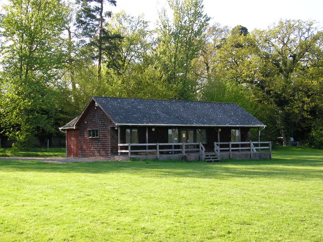
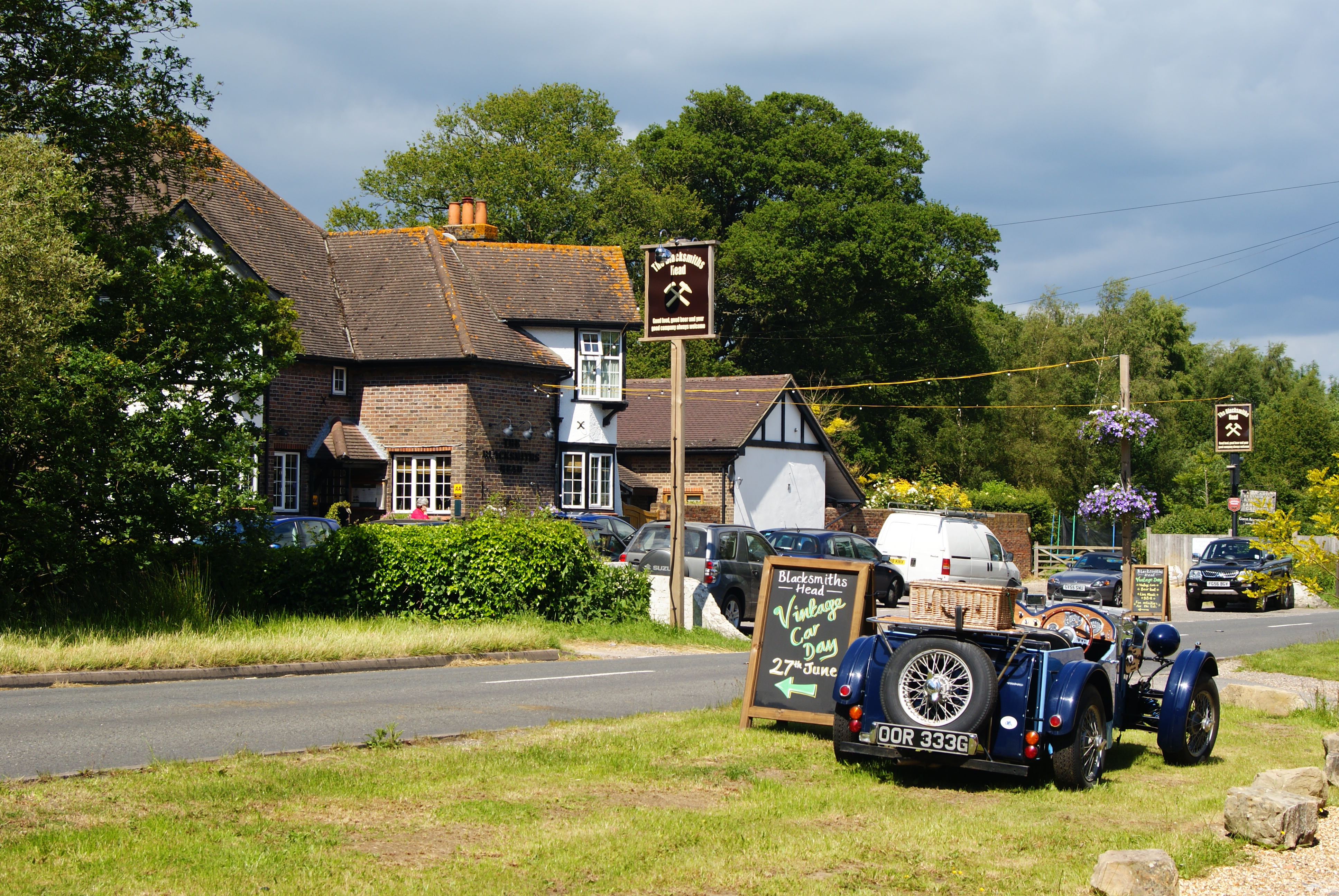
Wire Mill Lake Images

Images are sourced within 2km of 51.157798/-0.046009508 or Grid Reference TQ3641. Thanks to Geograph Open Source API. All images are credited.

London Temple of the Church of Jesus Christ of Latter-day Saints Often referred to as the Mormon Church at Lingfield, this has been a feature on the A22 for many years. <span class="nowrap"><a title="www.lds.org.uk" rel="nofollow ugc noopener" href="http://www.lds.org.uk">Link</a><img style="margin-left:2px;" alt="External link" title="External link - shift click to open in new window" src="https://s1.geograph.org.uk/img/external.png" width="10" height="10"/></span>
London Temple of the Church of Jesus Christ of Latter-day Saints
Often referred to as the Mormon Church at Lingfield, this has been a feature on the A22 for many years. LinkExternal link
Entering Bones Lane Coming from Brickhouse Lane, the road junction at Bones Lane.
Entering Bones Lane
Coming from Brickhouse Lane, the road junction at Bones Lane.
Sports pavilion in Felcourt Road, Felcourt.
Sports pavilion
in Felcourt Road, Felcourt.
Gate House Farm in Eastbourne Road (A22), Newchapel
Gate House Farm
in Eastbourne Road (A22), Newchapel
The Little House, Felcourt Road, Surrey That is the name, as it appears on a board outside the substantial house, centre left in the picture.  The road from East Grinstead is behind the photographer, whilst straight ahead leads to Lingfield.
The Little House, Felcourt Road, Surrey
That is the name, as it appears on a board outside the substantial house, centre left in the picture. The road from East Grinstead is behind the photographer, whilst straight ahead leads to Lingfield.
Jeff's Lake, Beaver Fishery, Surrey Beaver's Fishery is a network of lakes just off the A22 some distance north of the Surrey-Sussex border, where coarse fishing can be enjoyed by all standards of anglers.
Jeff's Lake, Beaver Fishery, Surrey
Beaver's Fishery is a network of lakes just off the A22 some distance north of the Surrey-Sussex border, where coarse fishing can be enjoyed by all standards of anglers.
Oakcroft residential cattery, Surrey If the immaculate condition of the grounds is any guide, your pet will be well looked after if you leave it here while you are on holiday.
Oakcroft residential cattery, Surrey
If the immaculate condition of the grounds is any guide, your pet will be well looked after if you leave it here while you are on holiday.
Footpath alongside a field of maize, Surrey
Newchapel Road (B2028),  Surrey Communications from the Horley-Gatwick-Crawley conurbation to the eastwards are notoriously bad.  The closure of the Tunbridge Wells - East Grinstead - Three Bridges railway must have been one of the most ridiculous of the Beeching idiocies, while the A264 is just a bad joke, as anyone condemned to use it daily will confirm.  Here we see the B2028 from Lingfield, looking eastwards at a very rare quiet moment when not a single car was in view.
Newchapel Road (B2028), Surrey
Communications from the Horley-Gatwick-Crawley conurbation to the eastwards are notoriously bad. The closure of the Tunbridge Wells - East Grinstead - Three Bridges railway must have been one of the most ridiculous of the Beeching idiocies, while the A264 is just a bad joke, as anyone condemned to use it daily will confirm. Here we see the B2028 from Lingfield, looking eastwards at a very rare quiet moment when not a single car was in view.
'Avondale', Newchapel Road, near Lingfield, Surrey The B2028 is the westerly outlet from Lingfield towards Gatwick and Crawley, and as such, carries a very heavy traffic.  Here a postman prepares to deliver mail to one of the well-heeled houses on the north side of the road.
'Avondale', Newchapel Road, near Lingfield, Surrey
The B2028 is the westerly outlet from Lingfield towards Gatwick and Crawley, and as such, carries a very heavy traffic. Here a postman prepares to deliver mail to one of the well-heeled houses on the north side of the road.
Bridleway near Garfield Farm, Surrey Garfield Farm is just off the eastern side of the A22 not far north of the Surrey-Sussex border.  There is much animal activity around here:  Garfield Farm provides boarding kennels, hounds for hunting are kept nearby and there are stables.
Bridleway near Garfield Farm, Surrey
Garfield Farm is just off the eastern side of the A22 not far north of the Surrey-Sussex border. There is much animal activity around here: Garfield Farm provides boarding kennels, hounds for hunting are kept nearby and there are stables.
Hedgecourt Lake, Surrey Hedgecourt Lake, also known as Domewood Lake, lies just north of the A264.  Presumably it is used for fishing, although I did not see any anglers there - just plenty of water birds and a sleepy swan.
Hedgecourt Lake, Surrey
Hedgecourt Lake, also known as Domewood Lake, lies just north of the A264. Presumably it is used for fishing, although I did not see any anglers there - just plenty of water birds and a sleepy swan.
Farm buildings, East Park Farm, Surrey This farm is reached down a small lane off the north side of the B2028.  Incidentally, geographers working in this gridsquare should be warned not to go onto the notorious Plantation Estate, where strangers, especially those with cameras, are very far from welcome.
Farm buildings, East Park Farm, Surrey
This farm is reached down a small lane off the north side of the B2028. Incidentally, geographers working in this gridsquare should be warned not to go onto the notorious Plantation Estate, where strangers, especially those with cameras, are very far from welcome.
Stubpond Lane A minor road leading south to Felbridge off West Park Road (B2028), but (in part) not maintained as fit for motor vehicles (although perfectly passable if you don't mind a few potholes). Eventually emerges at Hedgecourt Lake <a href="https://www.geograph.org.uk/photo/210661">TQ3540 : Hedgecourt Lake, Surrey</a>.
Stubpond Lane
A minor road leading south to Felbridge off West Park Road (B2028), but (in part) not maintained as fit for motor vehicles (although perfectly passable if you don't mind a few potholes). Eventually emerges at Hedgecourt Lake TQ3540 : Hedgecourt Lake, Surrey.
Kingswood Farm As seen from East Park Lane.
Kingswood Farm
As seen from East Park Lane.
Hedgecourt Lake Tree-fringed lake by Felbridge. The foreground is used by anglers. The lake in the distance is used by yachtsmen.
Hedgecourt Lake
Tree-fringed lake by Felbridge. The foreground is used by anglers. The lake in the distance is used by yachtsmen.
Houses in Newchapel Road (B2028)
Show me another place!

Wire Mill Lake is located at Grid Ref: TQ3641 (Lat: 51.157798, Lng: -0.046009508)

Administrative County: Surrey

District: Tandridge

Police Authority: Surrey

What 3 Words

///expect.into.lungs. Near Felbridge, Surrey

Related Wikis

London England Temple

The London England Temple (formerly the London Temple) is the twelfth operating temple of the Church of Jesus Christ of Latter-day Saints (LDS Church)...

Newchapel, Surrey

Newchapel is a large hamlet in Surrey, England, that falls under the civil parish of Horne. It lies on the A22 between Godstone and East Grinstead. It...

London to Brighton Way

The London to Brighton Way, also called the London to Portslade Way, is a Roman road between Stane Street at Kennington Park and Brighton (or more specifically...

British Wildlife Centre

The British Wildlife Centre is a zoo in the hamlet of Newchapel near Lingfield village in the county of Surrey, South East England. The zoo was founded...

Nearby Amenities

Located within 500m of 51.157798,-0.046009508
Goldhard Far
Landuse: farmland
Note Retag: CS #48756035
Source: npe
Lat/Long: 51.157789/-0.0523152
Post Box
Collection Times: Mo-Fr 09:00; Sa 07:00
Operator: Royal Mail
Post Box Type: lamp
Ref: RH7 90D
Royal Cypher: EIIR
Royal Cypher Wikidata: Q33102113
Source: survey
Lat/Long: 51.1576961/-0.0511911
Bus Stop
Wire Mill Lane
Bus: yes
Naptan AtcoCode: 40004410021A
Naptan Bearing: N
Naptan CommonName: Wire Mill Lane
Naptan Indicator: Just Before
Naptan Landmark: Wire Mill Lane
Naptan NaptanCode: surdmgwj
Naptan Street: Eastbourne Road
Naptan Verified: no
Public Transport: platform
Source: naptan_import
Wheelchair: limited
Lat/Long: 51.158059/-0.0511409
Bus Stop
Wire Mill Lane
Bus: yes
Naptan AtcoCode: 40004410021B
Naptan Bearing: S
Naptan CommonName: Wire Mill Lane
Naptan Indicator: Just after
Naptan Landmark: Wire Mill Lane
Naptan NaptanCode: surdmgwm
Naptan Street: Eastbourne Road
Naptan Verified: no
Public Transport: platform
Source: naptan_import
Wheelchair: no
Lat/Long: 51.1571015/-0.0506525
Bus Stop
Wembury Park
Bus: yes
Naptan AtcoCode: 40004410022A
Naptan Bearing: N
Naptan CommonName: Wembury Park
Naptan Indicator: Opp
Naptan Landmark: Wembury Park
Naptan NaptanCode: surdmgwp
Naptan Street: Eastbourne Road
Naptan Verified: no
Public Transport: platform
Source: naptan_import
Wheelchair: no
Lat/Long: 51.1606089/-0.0510152
Access: permissive
Barrier: lift_gate
Lat/Long: 51.1552912/-0.0515558
Waterway: weir
Lat/Long: 51.1590633/-0.0432842
Leisure: slipway
Lat/Long: 51.1595746/-0.0446688
Restaurant
Tammys Thai
Cuisine: thai
Lat/Long: 51.157953/-0.0505635
Crossing
Crossing: marked
Crossing Island: yes
Lat/Long: 51.1557354/-0.0504059
The data included in this document is from www.openstreetmap.org. The data is made available under ODbL.

Have you been to Wire Mill Lake?

Leave your review of Wire Mill Lake below (or comments, questions and feedback).