Thrifts Lake
Lake, Pool, Pond, Freshwater Marsh in Hertfordshire East Hertfordshire
England
Thrifts Lake
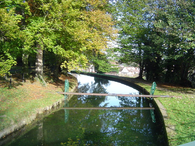
Thrifts Lake is a picturesque freshwater marsh located in Hertfordshire, England. Situated in a tranquil and idyllic setting, it serves as a popular recreational spot for locals and visitors alike. The lake covers an area of approximately 5 acres and is surrounded by lush greenery, providing a serene and peaceful environment.
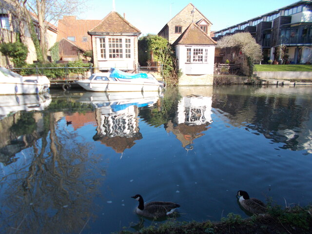
As a lake, pool, pond, and freshwater marsh, Thrifts Lake offers a diverse range of habitats for various plant and animal species. The marshland is home to a variety of aquatic plants, such as reeds and water lilies, which provide shelter and food for a plethora of wildlife. Visitors can observe a wide array of bird species, including ducks, geese, herons, and other waterfowl, as they make their homes in and around the lake. The tranquil waters also attract dragonflies, butterflies, and other insects.
The lake itself is a haven for fishing enthusiasts, offering opportunities to catch various freshwater fish species, such as carp, pike, and perch. Anglers can enjoy a peaceful day by the water, surrounded by the beauty of the surrounding nature.
Thrifts Lake is easily accessible, with designated walking paths and picnic areas for visitors to enjoy. It provides an ideal location for nature walks, birdwatching, and photography, allowing people to immerse themselves in the beauty of the natural surroundings. Whether seeking relaxation or a chance to connect with nature, Thrifts Lake is a hidden gem in Hertfordshire that offers a tranquil retreat for all who visit.
If you have any feedback on the listing, please let us know in the comments section below.
Thrifts Lake Images
Images are sourced within 2km of 51.801224/-0.019691114 or Grid Reference TL3613. Thanks to Geograph Open Source API. All images are credited.


Thrifts Lake is located at Grid Ref: TL3613 (Lat: 51.801224, Lng: -0.019691114)
Administrative County: Hertfordshire
District: East Hertfordshire
Police Authority: Hertfordshire
What 3 Words
///left.intent.galaxy. Near Great Amwell, Hertfordshire
Nearby Locations
Related Wikis

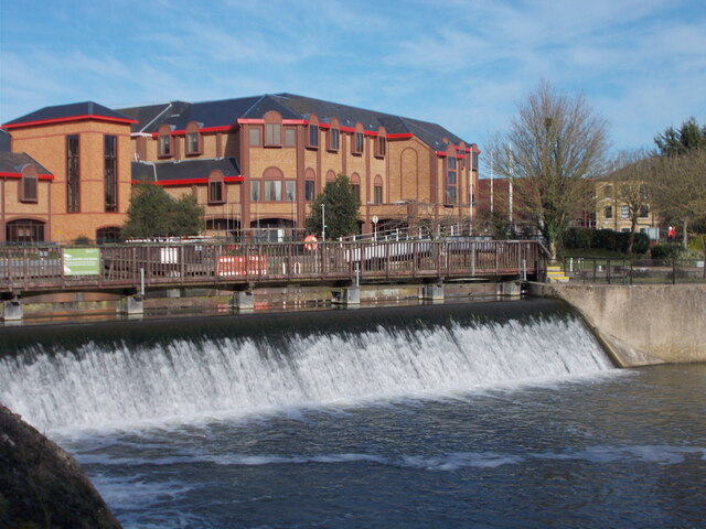
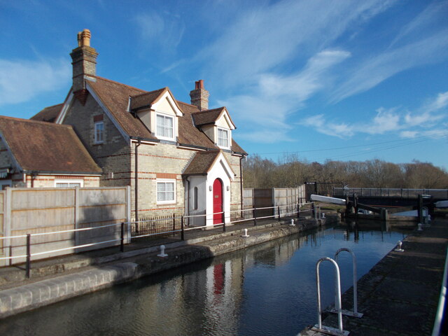
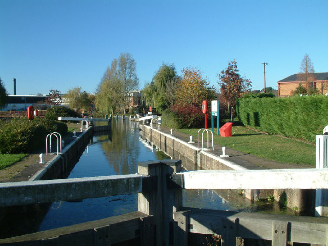
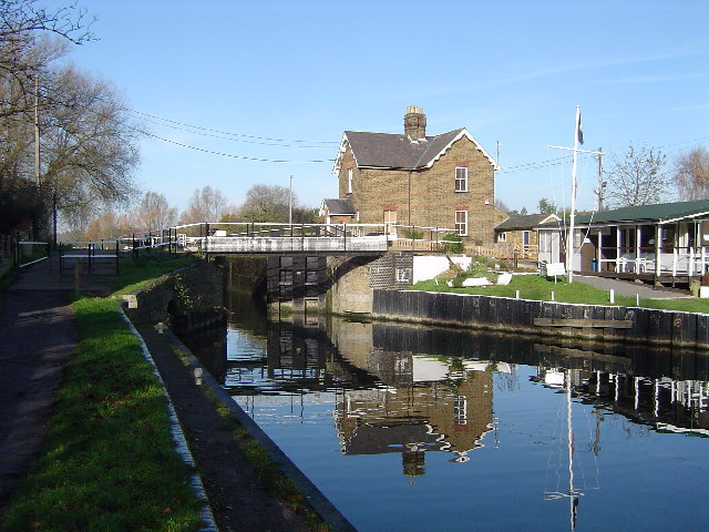
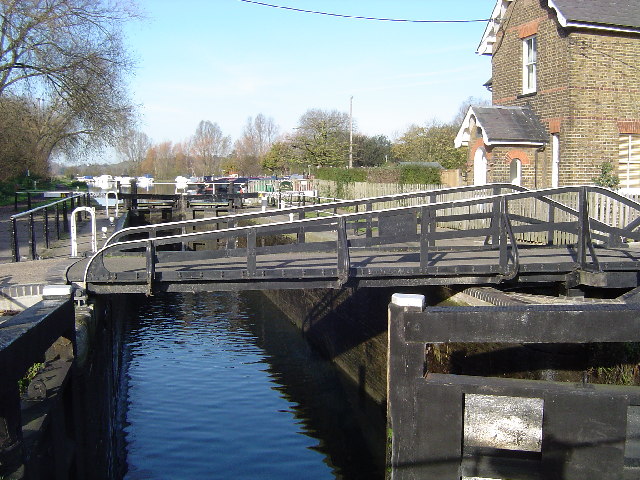
Hardmead Lock
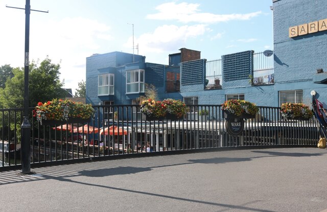
Hardmead Lock (No3) is a lock on the River Lee Navigation at Great Amwell close to the town of Ware. The lock has a reputation as being difficult to negotiate...

Beaver Group
Beaver Group is an organization whose focus is the delivery of digital signage, content design and web technologies. Beaver Group clients are spread across...
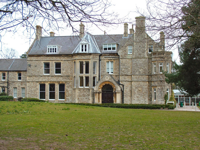
Presdales School
Presdales School is a girls' secondary school with academy status, located in Ware, Hertfordshire in the East of England. The school also operates a coeducational...
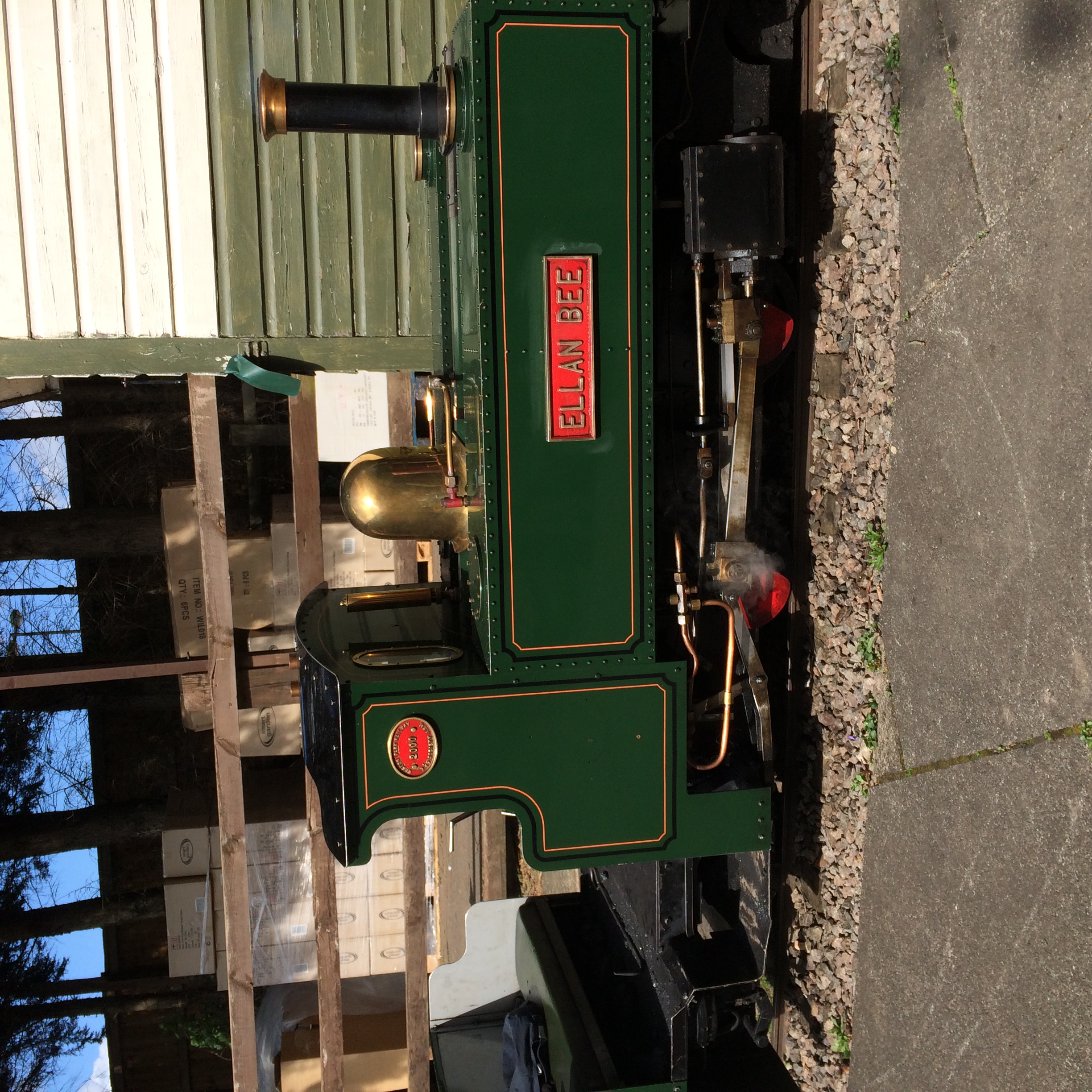
East Herts Miniature Railway
The East Herts Miniature Railway (EHMR) is situated in the Van Hage Garden Centre, Great Amwell near Ware, Hertfordshire. It opened in 1978 and by 2006...
Related Videos

WARE, HERTFORD (UNITED KINGDOM) II Walking Tour
Walking tour of the #Ware High Street in Hetford, UK. Enjoy!
Nice lil 6 mile hike
Hiking #camping #wildcamping #dayhike #walking #fitness #wellbeing #mindbody&soul #mentalhealth.

Walks in Ware - Amwell Nature Reserve
Dropped pin https://maps.app.goo.gl/ie8YHrwscbQAk3Bt6 Walks in Ware - Amwell Nature Reserve is a beautiful Walk any time of ...

Walks in Ware - Autumn Hollycross Road to Amwell Nature Reserve Lookout Point
Walks in Ware - Autumn - Hollycross Road to Amwell Nature Reserve Lookout Point is a delightful autumn walk though open ...
Nearby Amenities
Located within 500m of 51.801224,-0.019691114Have you been to Thrifts Lake?
Leave your review of Thrifts Lake below (or comments, questions and feedback).