Limehouse Basin
Lake, Pool, Pond, Freshwater Marsh in Middlesex
England
Limehouse Basin
Limehouse Basin is a man-made freshwater basin located in Middlesex, England. It is situated in the Limehouse area, which is part of the London Borough of Tower Hamlets. Originally constructed in the early 19th century, the basin was created as a dock for commercial shipping purposes.
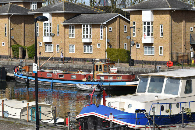
The Limehouse Basin covers an area of approximately 1.5 hectares and is connected to the River Thames via a lock system. It served as a vital transportation hub during the industrial revolution, facilitating the trade of goods and materials between London and other parts of the world. However, with the decline of commercial shipping, the basin's role shifted towards leisure and recreational activities.
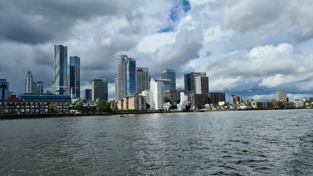
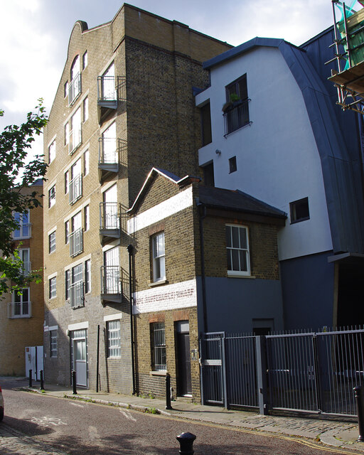
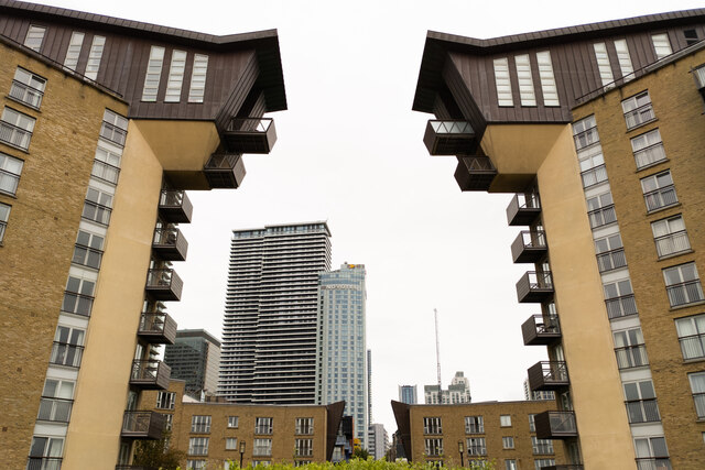
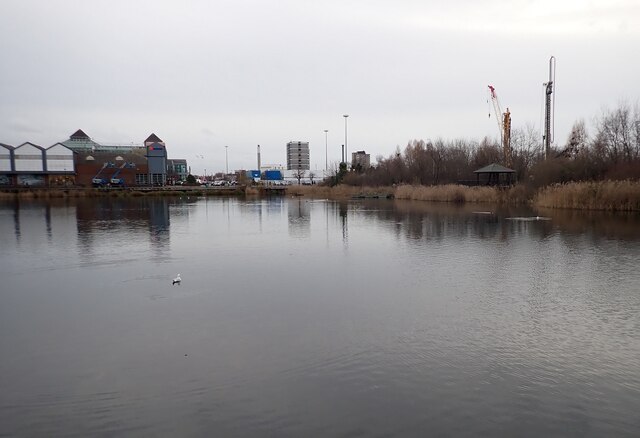
Today, Limehouse Basin has been transformed into a picturesque lake, pool, pond, and freshwater marsh. It is surrounded by a mix of modern residential buildings and historic warehouses, creating a unique urban landscape. The area is popular among locals and visitors alike, offering a tranquil escape from the bustling city.
The basin is home to a diverse range of flora and fauna, attracting various bird species and other wildlife. The surrounding green spaces provide a habitat for numerous plants, trees, and aquatic life. The basin's waters are carefully maintained to ensure a healthy environment for the resident species.
Limehouse Basin also offers a range of amenities and facilities for recreational use, including walkways, cycling paths, and boating opportunities. It has become a popular spot for water sports enthusiasts, such as kayaking and paddleboarding.
Overall, Limehouse Basin in Middlesex is a unique and vibrant freshwater ecosystem, providing both natural beauty and recreational opportunities for residents and visitors alike.
If you have any feedback on the listing, please let us know in the comments section below.
Limehouse Basin Images
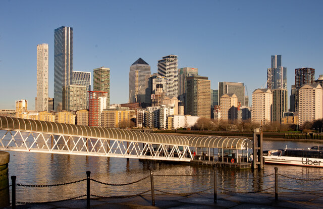
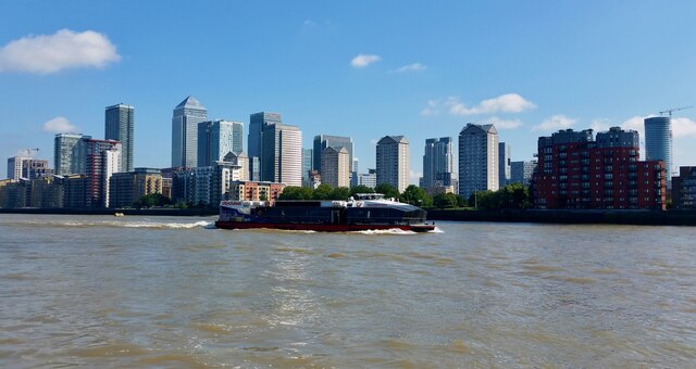
Images are sourced within 2km of 51.511126/-0.035136355 or Grid Reference TQ3680. Thanks to Geograph Open Source API. All images are credited.

![Titanic Exhibition - Corridor A mock-up of one of the corridors on the Titanic at the exhibition currently being held at Canada Water. [2022 link] <span class="nowrap"><a title="https://titanicexhibitionlondon.com" rel="nofollow ugc noopener" href="https://titanicexhibitionlondon.com">Link</a><img style="margin-left:2px;" alt="External link" title="External link - shift click to open in new window" src="https://s1.geograph.org.uk/img/external.png" width="10" height="10"/></span>](https://s1.geograph.org.uk/geophotos/07/06/60/7066041_6f3cca3e.jpg)


Limehouse Basin is located at Grid Ref: TQ3680 (Lat: 51.511126, Lng: -0.035136355)
Unitary Authority: Tower Hamlets
Police Authority: Metropolitan
What 3 Words
///flown.speeds.maps. Near Canary Wharf, London
Nearby Locations
Related Wikis

Limehouse Basin
Limehouse Basin is a body of water 2 miles east of London Bridge that is also a navigable link between the River Thames and two of London's canals. First...
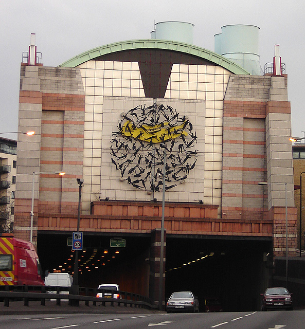
Limehouse Link tunnel
The Limehouse Link tunnel is a 1.1-mile (1.8 km) long tunnel under Limehouse in East London on the A1203 road. The tunnel links the eastern end of The...
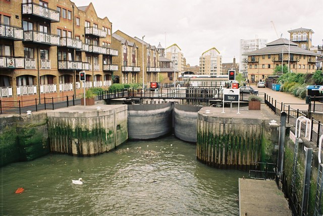
Limehouse Basin Lock
Limehouse Basin Lock is a lock forming the exit from Limehouse Basin to the Thames, in the London Borough of Tower Hamlets, England. It is the final lock...
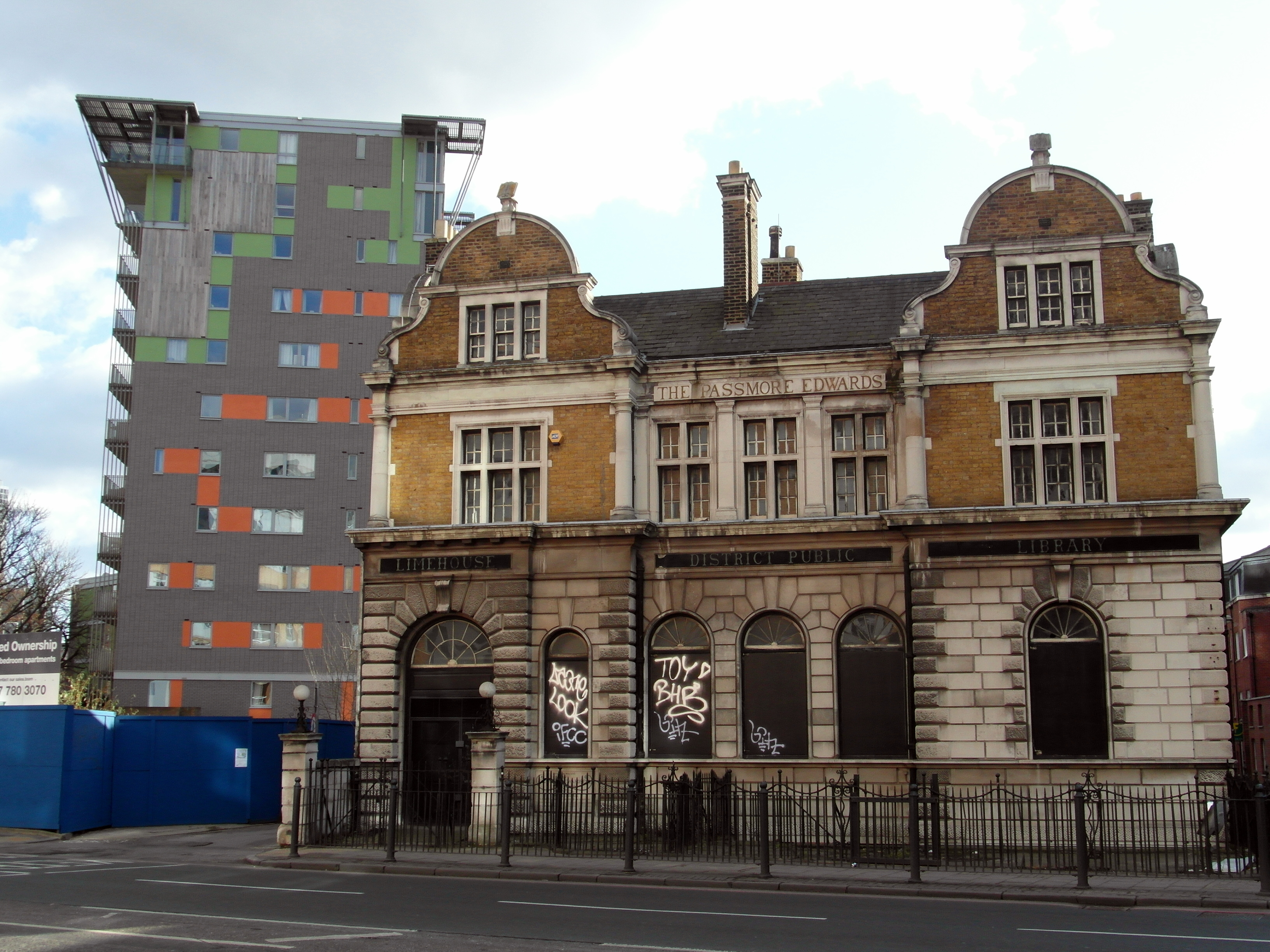
Limehouse Library
Limehouse Public Library is a historical building in Limehouse, London, formerly a public library. The library was first proposed for construction in 1888...
Nearby Amenities
Located within 500m of 51.511126,-0.035136355Have you been to Limehouse Basin?
Leave your review of Limehouse Basin below (or comments, questions and feedback).