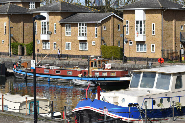
Shadwell Old Basin
Lake, Pool, Pond, Freshwater Marsh in Middlesex
England
Shadwell Old Basin
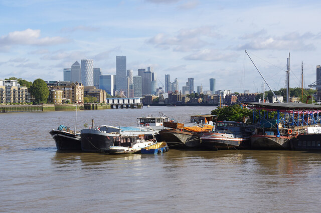
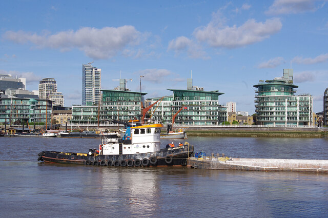
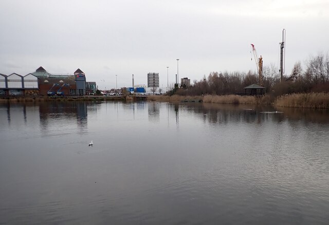
Shadwell Old Basin is a freshwater lake located in Middlesex, England. Situated in the vibrant borough of Tower Hamlets, this body of water serves as a picturesque oasis amidst the urban landscape. Covering an area of approximately 2 hectares, Shadwell Old Basin is not only a popular destination for locals but also attracts nature enthusiasts and birdwatchers from afar.
With a depth ranging from 1 to 3 meters, the lake offers a diverse habitat for various aquatic plants and animals. Its clear, freshwater supports a thriving ecosystem, providing a suitable environment for a wide array of species. The lake is surrounded by lush vegetation and reed beds that serve as nesting grounds for numerous bird species, including several rare and endangered ones.
The basin also acts as a natural filtration system, purifying the water and improving its quality. This makes it an important resource for maintaining the ecological balance of the area. Additionally, the lake functions as a flood alleviation measure, helping to mitigate the risk of flooding in the surrounding neighborhoods during heavy rainfall.
Shadwell Old Basin is not only a haven for wildlife but also offers recreational opportunities for visitors. It is a popular spot for fishing, with anglers trying their luck to catch freshwater fish such as carp, roach, and perch. The serene surroundings make it an excellent place for leisurely walks and picnics, providing a peaceful escape from the bustling city.
Overall, Shadwell Old Basin is a valuable natural asset in the heart of Middlesex, providing both ecological and recreational benefits to the local community and visitors alike.
If you have any feedback on the listing, please let us know in the comments section below.
Shadwell Old Basin Images
Images are sourced within 2km of 51.508333/-0.052606969 or Grid Reference TQ3580. Thanks to Geograph Open Source API. All images are credited.
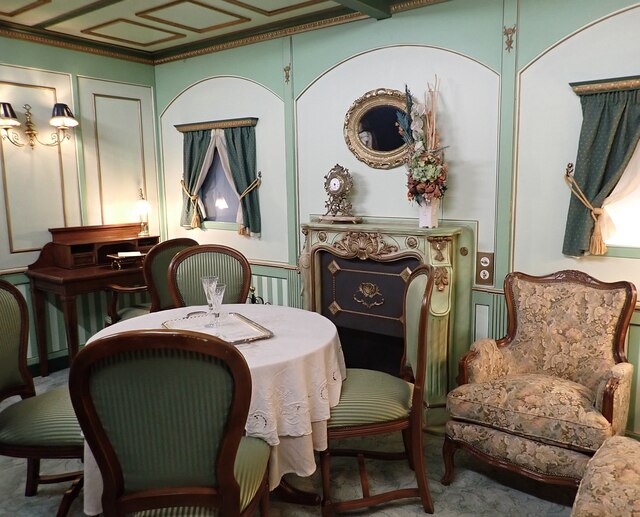
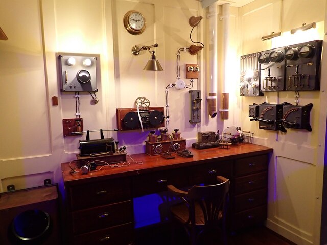
![Titanic Exhibition - Corridor A mock-up of one of the corridors on the Titanic at the exhibition currently being held at Canada Water. [2022 link] <span class="nowrap"><a title="https://titanicexhibitionlondon.com" rel="nofollow ugc noopener" href="https://titanicexhibitionlondon.com">Link</a><img style="margin-left:2px;" alt="External link" title="External link - shift click to open in new window" src="https://s1.geograph.org.uk/img/external.png" width="10" height="10"/></span>](https://s1.geograph.org.uk/geophotos/07/06/60/7066041_6f3cca3e.jpg)


Shadwell Old Basin is located at Grid Ref: TQ3580 (Lat: 51.508333, Lng: -0.052606969)
Unitary Authority: Tower Hamlets
Police Authority: Metropolitan
What 3 Words
///muddy.verge.often. Near Bethnal Green, London
Nearby Locations
Related Wikis
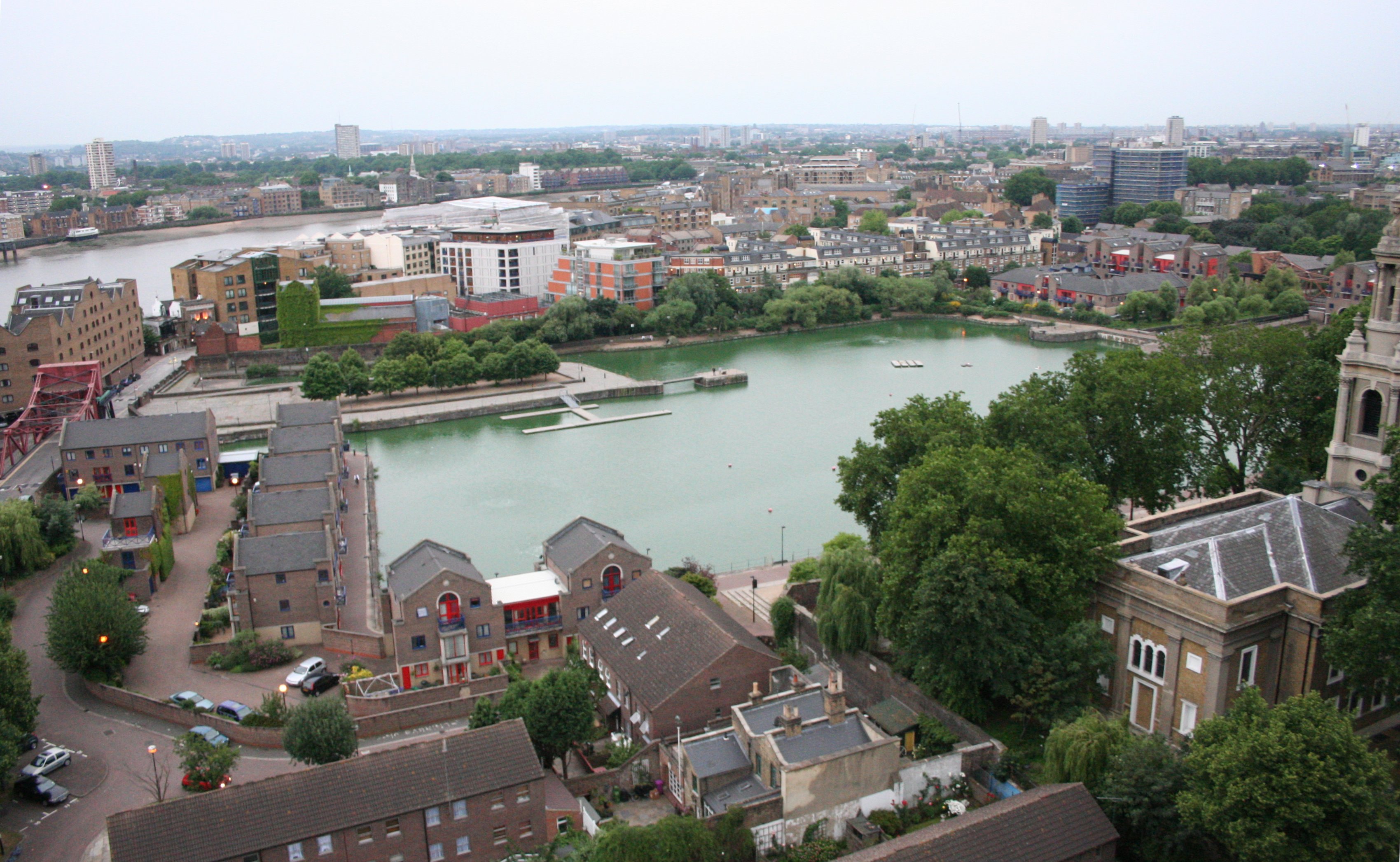
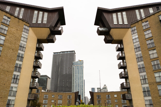
Shadwell Basin
Shadwell Basin is a housing and leisure complex built around a disused dock in Wapping, London. The old dock was formerly part of the London Docks, a group...
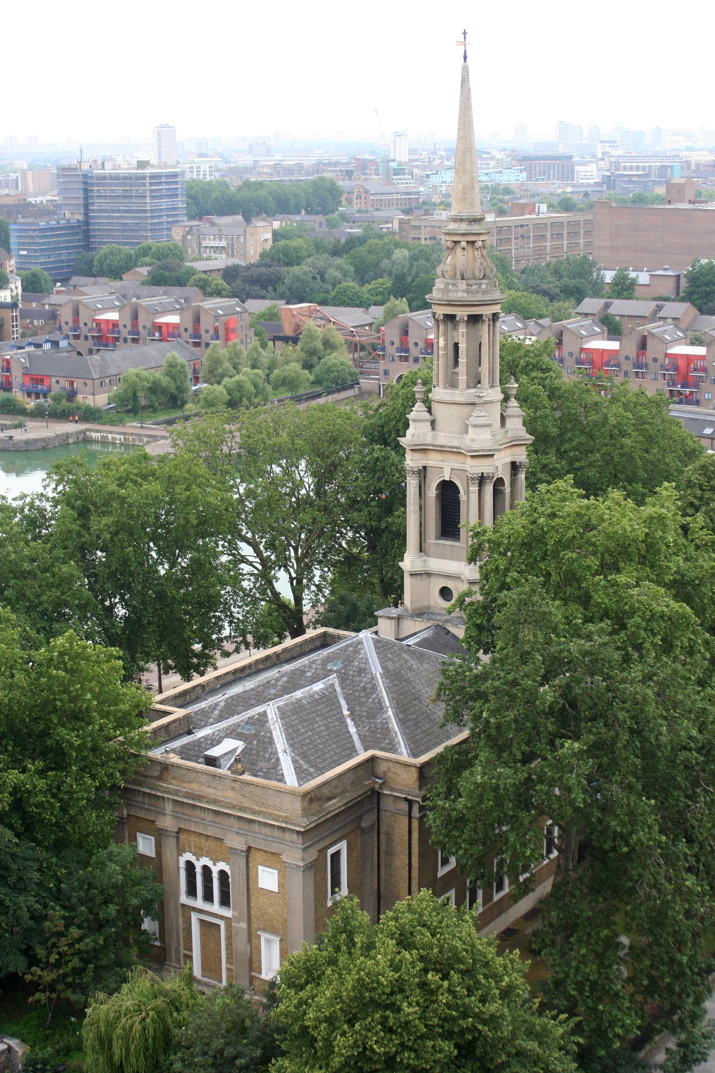
St Paul's Church, Shadwell
St Paul's Church, Shadwell, is a Grade II* listed Church of England church, located between The Highway and Shadwell Basin, on the edge of Wapping, in...

Prospect of Whitby
The Prospect of Whitby is a historic public house on the banks of the Thames at Wapping in the London Borough of Tower Hamlets. It lays claim to being...
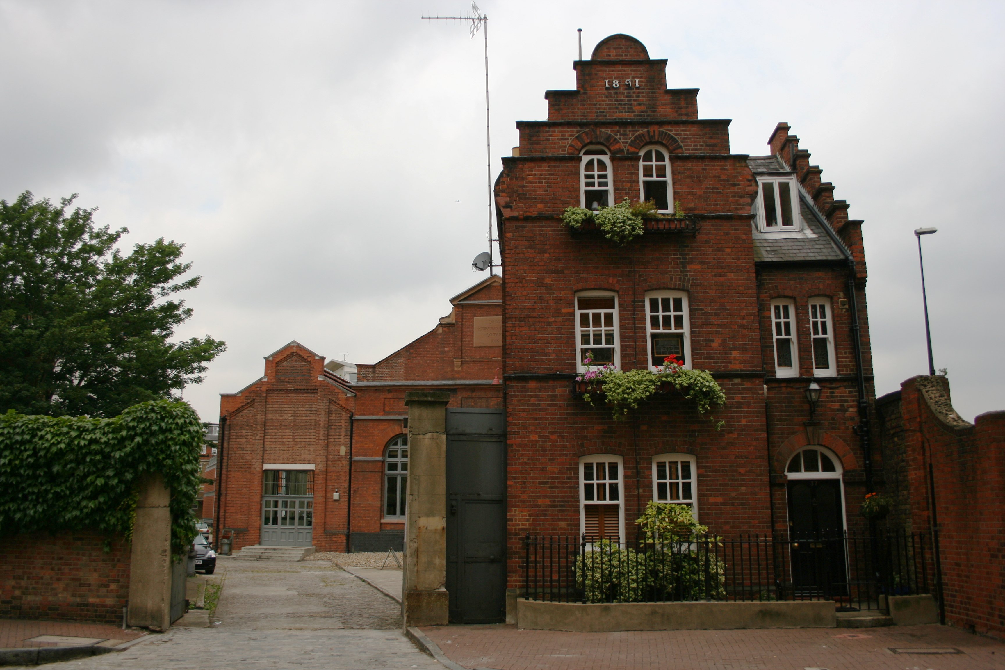
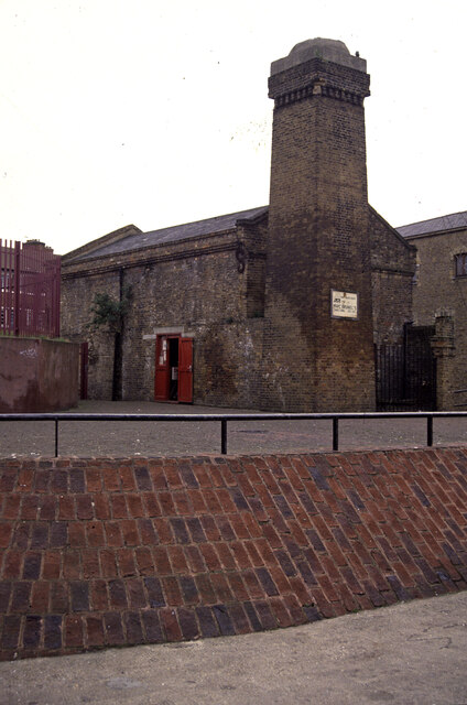
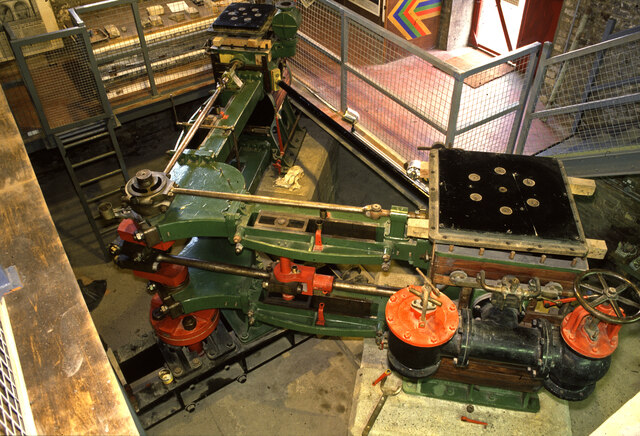
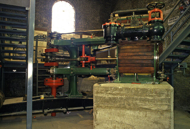
Wapping Hydraulic Power Station
The Wapping Hydraulic Power Station (built 1890) was originally run by the London Hydraulic Power Company in Wapping, London, England. Originally, it operated...
Nearby Amenities
Located within 500m of 51.508333,-0.052606969Have you been to Shadwell Old Basin?
Leave your review of Shadwell Old Basin below (or comments, questions and feedback).