Reservoir Number 3
Lake, Pool, Pond, Freshwater Marsh in Essex
England
Reservoir Number 3

Reservoir Number 3, also known as Essex Reservoir, is a freshwater body located in the town of Essex, in the state of Vermont, United States. This man-made reservoir covers an area of approximately 75 acres and serves as a critical water source for the local community.
The reservoir was constructed in the early 1900s to meet the increasing demand for water supply in the area. It is primarily fed by streams and precipitation, ensuring a constant flow of freshwater. The water is treated and distributed to nearby towns for residential, agricultural, and industrial use.
Reservoir Number 3 features a diverse ecosystem, including a lake, pool, pond, and freshwater marsh. The lake area provides ample space for recreational activities such as boating, fishing, and swimming. Anglers can find a variety of fish species, including bass, trout, and perch, making it a popular spot for fishing enthusiasts.
The pool and pond areas are characterized by calm and serene waters, attracting wildlife such as ducks, geese, and herons. These sections of the reservoir are ideal for birdwatching and offer a peaceful retreat for nature lovers.
A freshwater marsh is also present, supporting a wide range of plant and animal species. Marshes are known for their high biodiversity, acting as habitats for various waterfowl, amphibians, and aquatic plants. The marshland in Reservoir Number 3 plays a crucial role in maintaining water quality and providing a breeding ground for many species.
Overall, Reservoir Number 3 in Essex, Vermont, is a vital water source for the local community, while also serving as a picturesque location for outdoor activities and a haven for diverse wildlife.
If you have any feedback on the listing, please let us know in the comments section below.
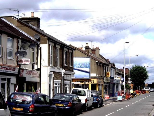
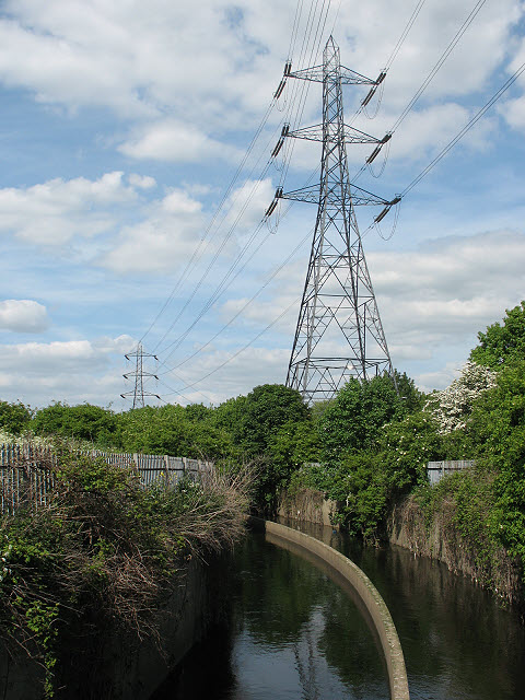
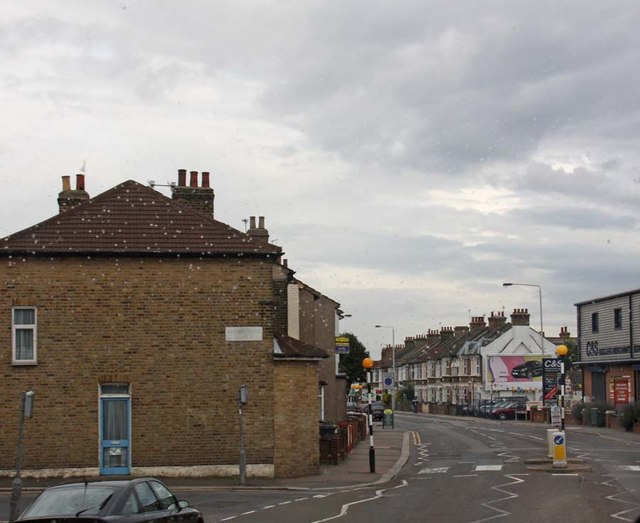
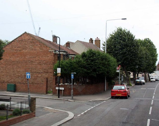
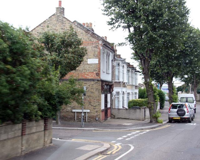
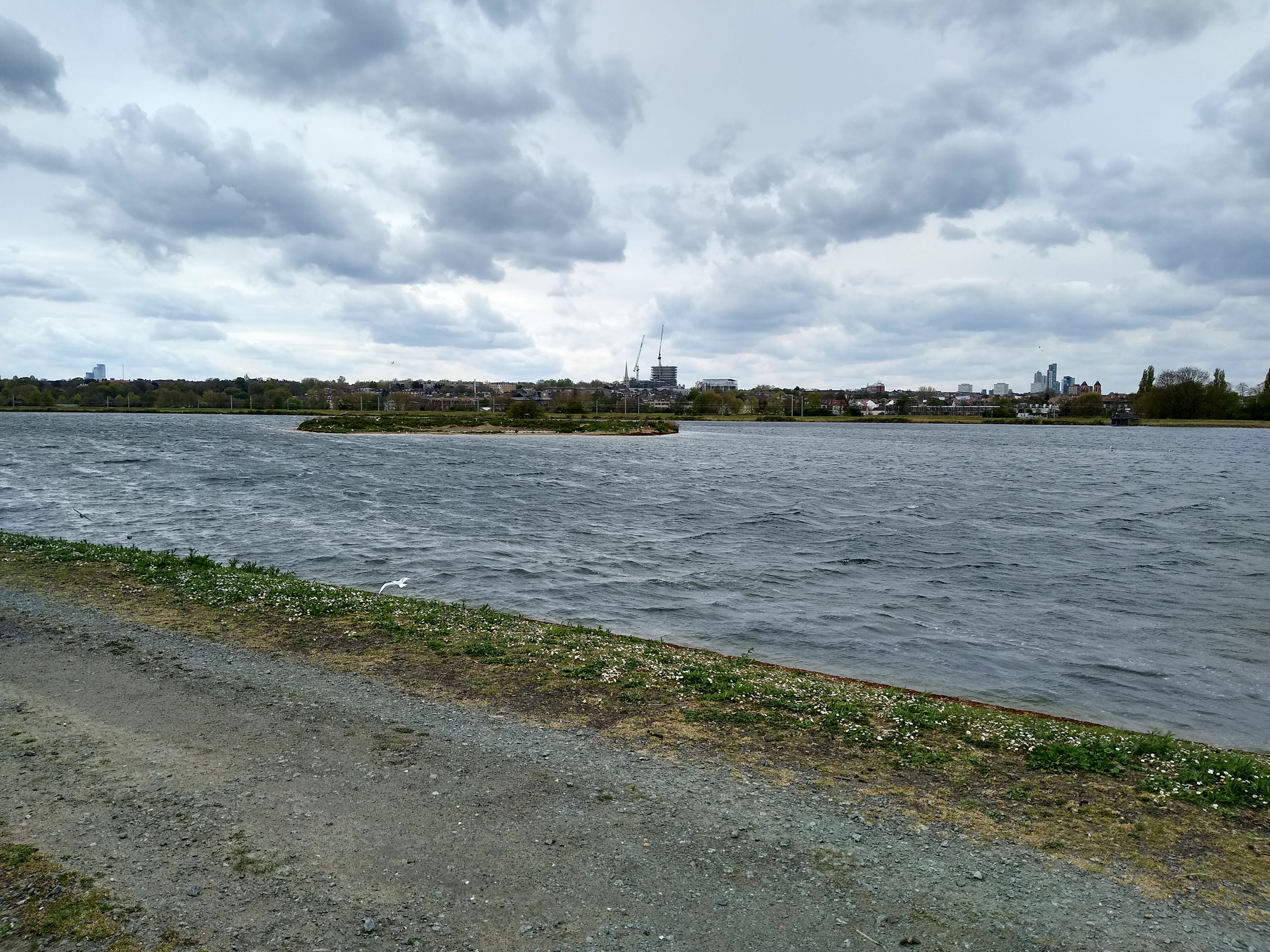
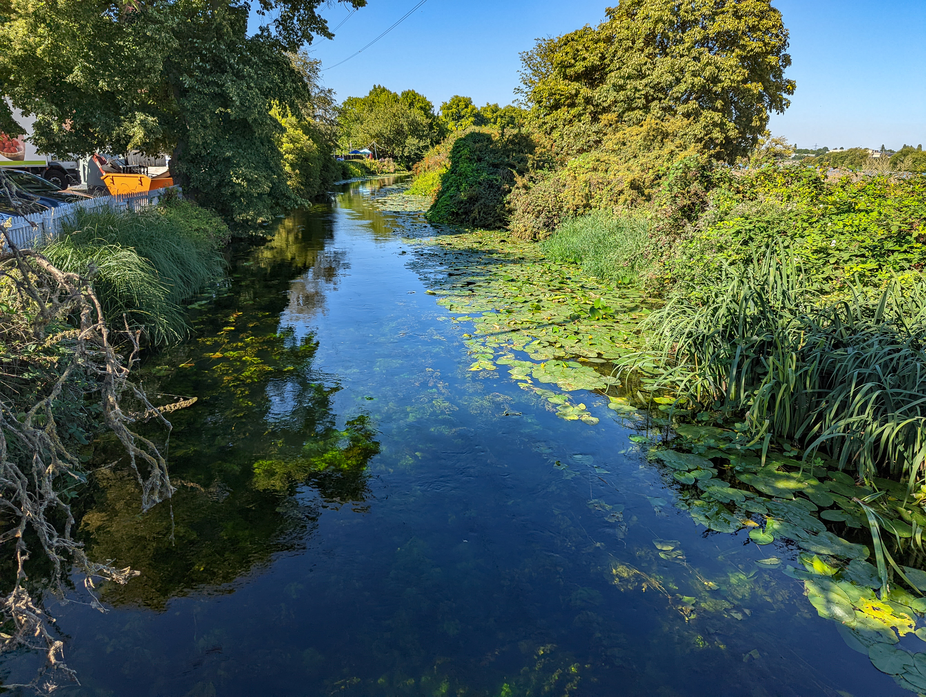
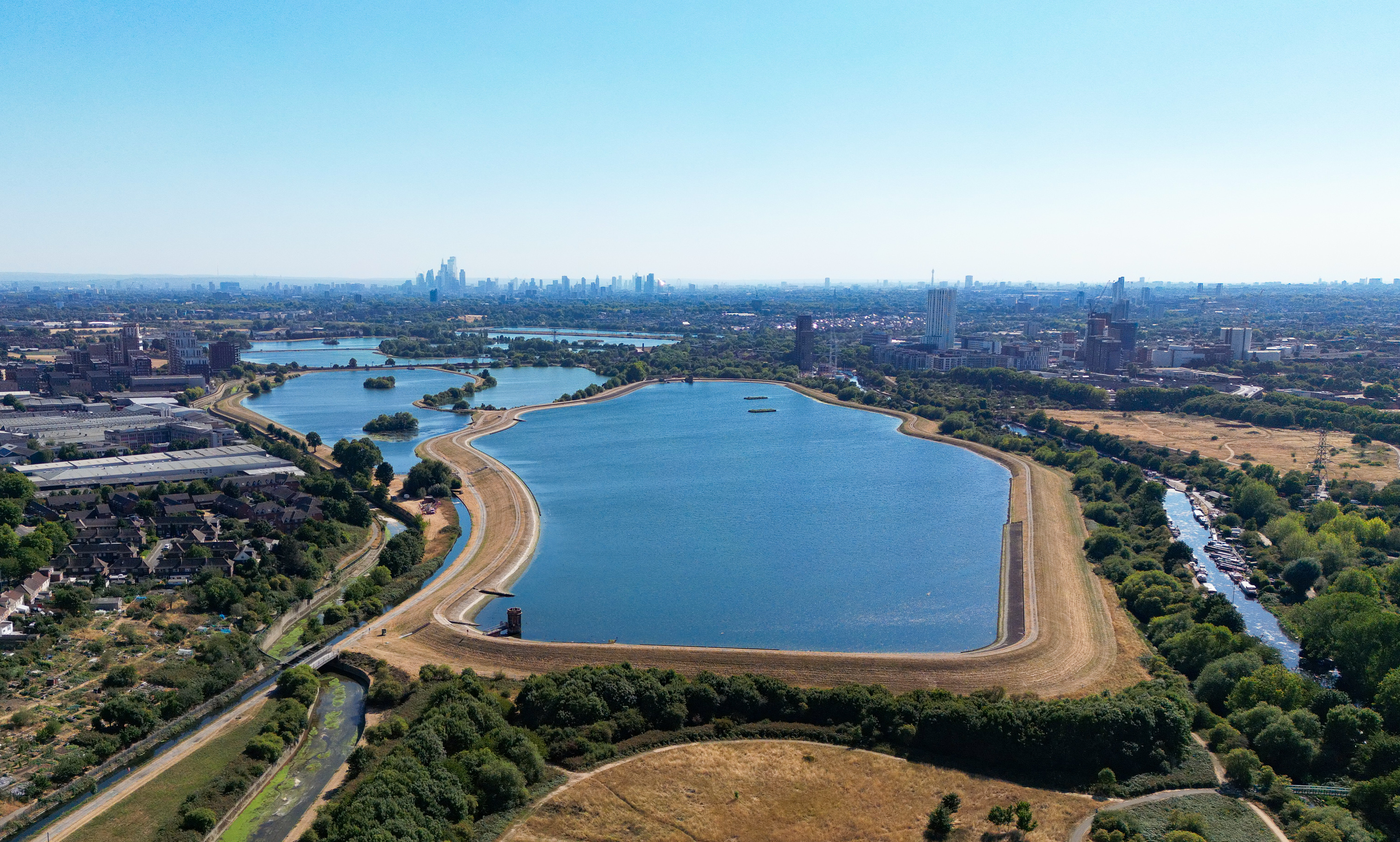
Reservoir Number 3 Images
Images are sourced within 2km of 51.580773/-0.051301308 or Grid Reference TQ3588. Thanks to Geograph Open Source API. All images are credited.


Reservoir Number 3 is located at Grid Ref: TQ3588 (Lat: 51.580773, Lng: -0.051301308)
Unitary Authority: Waltham Forest
Police Authority: Metropolitan
What 3 Words
///wake.incomes.lonely. Near Walthamstow, London
Nearby Locations
Related Wikis

Lee Valley Reservoir Chain
The Lee Valley Reservoir Chain is located in the Lee Valley, and comprises 13 reservoirs that supply drinking water to London.The Reservoir Chain, together...
East Warwick Reservoir
East Warwick Reservoir is located in the London Borough of Waltham Forest at Walthamstow. The storage reservoir is part of the Lee Valley Reservoir Chain...
Coppermill Stream
The Coppermill Stream is a short waterway near Walthamstow in the Lea Valley. Originally a minor tributary of the River Lea, the approximately 2-mile...

Coppermills Water Treatment Works
The Coppermills Water Treatment Works is a large water treatment works in the Lea Valley in east London. Completed in 1969 by the Metropolitan Water Board...
Walthamstow Wetlands
Walthamstow Wetlands is a 211-hectare (520-acre; 2.11 km2) nature reserve in Walthamstow, east London, adjacent to the historic Essex-Middlesex border...

West Warwick Reservoir
West Warwick Reservoir is located in the London Borough of Waltham Forest at Walthamstow. The storage reservoir is part of the Lee Valley Reservoir Chain...
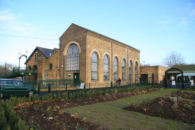
Markfield Beam Engine and Museum
Markfield Road Pumping Station, now known as Markfield Beam Engine and Museum or sometimes just as Markfield Beam Engine is a Grade II listed building...

Low Maynard Reservoir
Low Maynard Reservoir is located in Walthamstow in the London Borough of Waltham Forest. The storage reservoir is part of the Lee Valley Reservoir Chain...
Nearby Amenities
Located within 500m of 51.580773,-0.051301308Have you been to Reservoir Number 3?
Leave your review of Reservoir Number 3 below (or comments, questions and feedback).