Ferry Pond
Lake, Pool, Pond, Freshwater Marsh in Cambridgeshire South Cambridgeshire
England
Ferry Pond
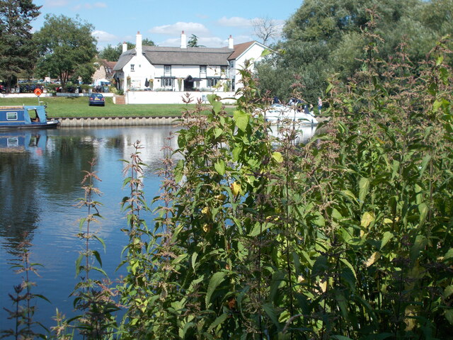
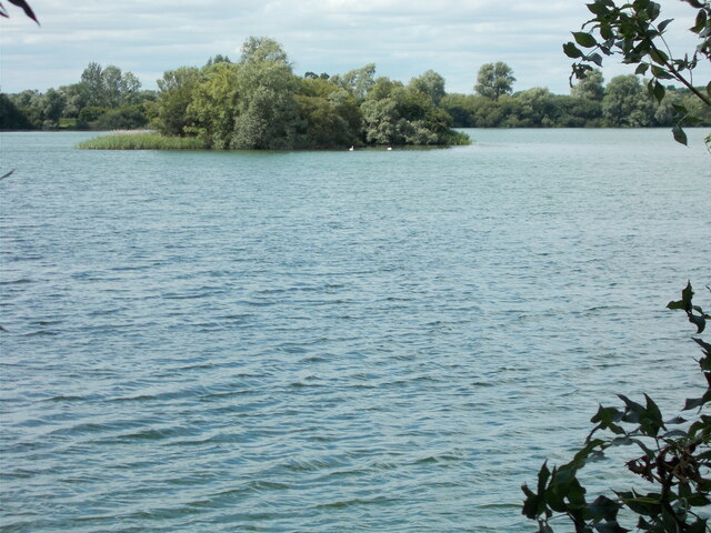
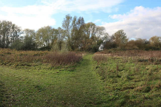
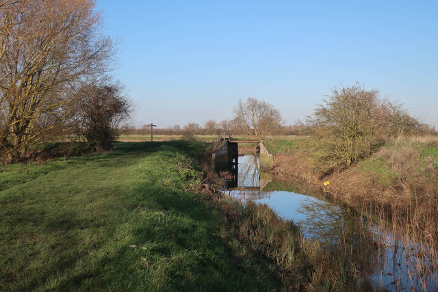
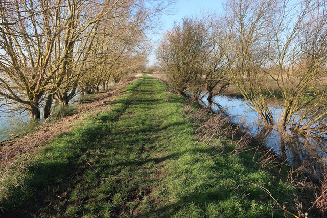
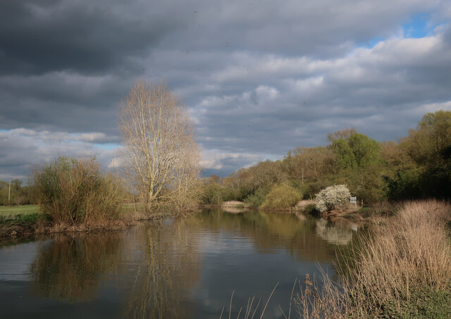
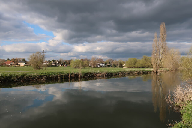
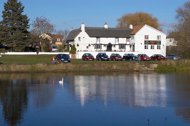
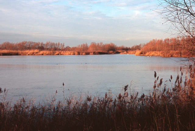
Ferry Pond, located in Cambridgeshire, is a picturesque freshwater marshland that serves as a natural habitat for a diverse range of plants and wildlife. Covering an area of approximately 4 hectares, this serene body of water is nestled amidst the scenic landscape of the region, providing a tranquil setting for visitors to enjoy.
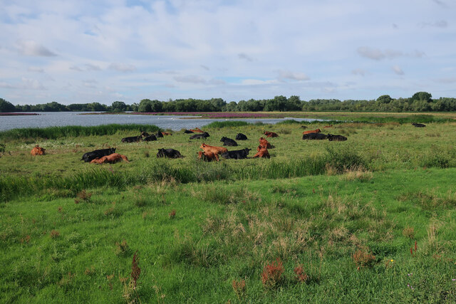
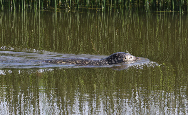
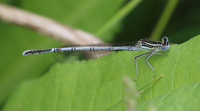
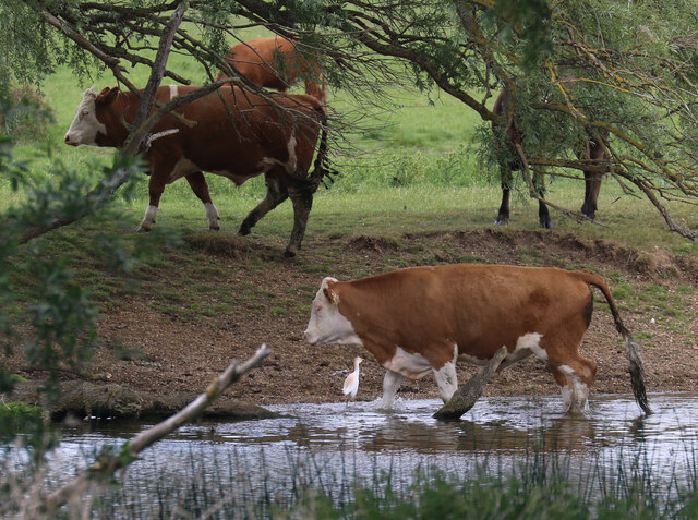
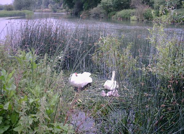
The pond is characterized by its calm, crystal-clear waters, which are fed by natural springs and rainfall. It is surrounded by lush vegetation, including reeds, grasses, and water lilies, which provide a habitat for numerous species of birds, insects, and aquatic animals. The pond is particularly renowned for its birdlife, attracting a variety of species such as herons, swans, ducks, and grebes, making it a popular spot for birdwatching enthusiasts.
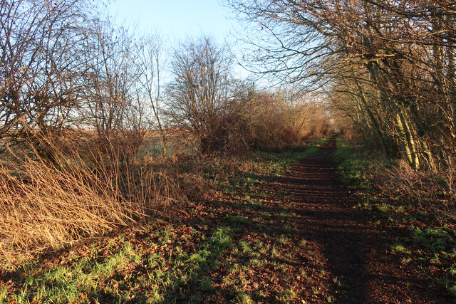
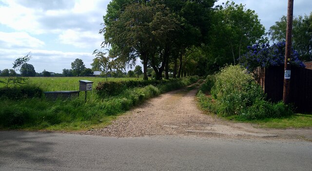
Ferry Pond also offers a range of recreational activities for visitors. There are walking trails that meander around the pond, allowing visitors to explore the surrounding marshland and observe the diverse flora and fauna. Fishing is also permitted in the pond, with anglers often trying their luck at catching species such as roach, bream, and carp.
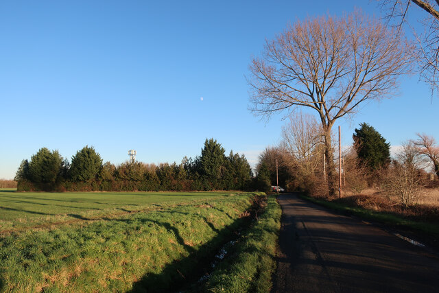
The pond is easily accessible, with designated parking areas and well-maintained footpaths. There are also picnic spots available, allowing visitors to relax and take in the natural beauty of the surroundings. Ferry Pond is a true gem of Cambridgeshire, providing a peaceful retreat for nature lovers and a haven for wildlife in the heart of the region.
If you have any feedback on the listing, please let us know in the comments section below.
Ferry Pond Images
Images are sourced within 2km of 52.313983/-0.030713059 or Grid Reference TL3470. Thanks to Geograph Open Source API. All images are credited.


Ferry Pond is located at Grid Ref: TL3470 (Lat: 52.313983, Lng: -0.030713059)
Administrative County: Cambridgeshire
District: South Cambridgeshire
Police Authority: Cambridgeshire
What 3 Words
///fixed.advice.engrossed. Near Needingworth, Cambridgeshire
Nearby Locations
Related Wikis
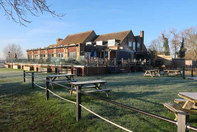
The Old Ferry Boat Inn
The Old Ferry Boat Inn is a pub in Holywell, Huntingdonshire, Cambridgeshire, England. It is situated on the banks of the River Great Ouse.The Old Ferry...

Holywell, Cambridgeshire
Holywell is a village in Cambridgeshire, England, approximately 6 miles (10 km) east of Huntingdon, in the civil parish of Holywell-cum-Needingworth. It...
Fen Drayton Lakes
Fen Drayton Lakes is a complex of lakes, lagoons, ponds and a river, situated close to Fen Drayton, Holywell and Swavesey in Cambridgeshire, England. The...
Needingworth
Needingworth is a village in Cambridgeshire, England. Needingworth lies approximately 7 miles (11 km) east of Huntingdon and just west of the Prime Meridian...
Ouse Valley Way
The Ouse Valley Way is a 150-mile (240 km) footpath in England, following the River Great Ouse from its source near Syresham in Northamptonshire to its...

Fen Drayton
Fen Drayton is a small village between Cambridge and St. Ives in Cambridgeshire, England, and between the villages of Fenstanton and Swavesey. The village...

Swavesey railway station
Swavesey railway station was a station in Swavesey, Cambridgeshire on the line between Cambridge and St Ives which was closed for passenger services in...

Mare Fen
Mare Fen is a 16.3 hectare Local Nature Reserve north of Swavesey in Cambridgeshire, England. It is owned by Cambridgeshire County Council, and was formerly...
Nearby Amenities
Located within 500m of 52.313983,-0.030713059Have you been to Ferry Pond?
Leave your review of Ferry Pond below (or comments, questions and feedback).