Holywell Lake
Lake, Pool, Pond, Freshwater Marsh in Cambridgeshire South Cambridgeshire
England
Holywell Lake
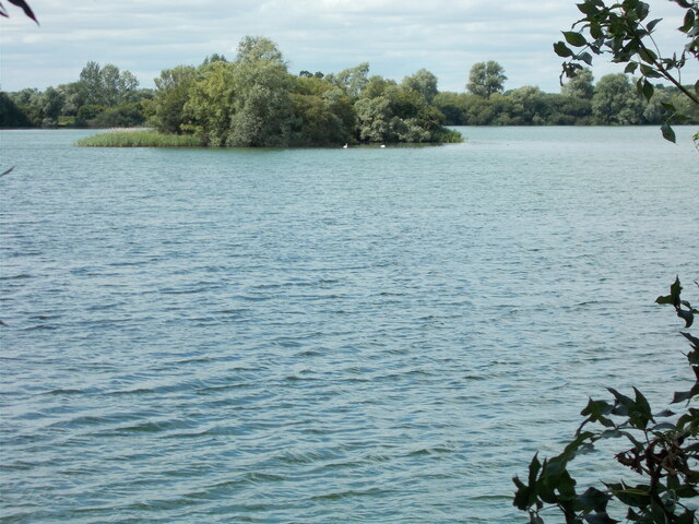
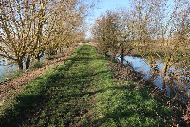
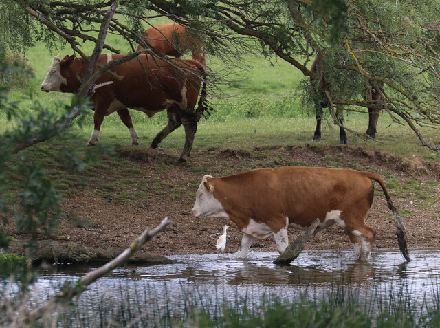
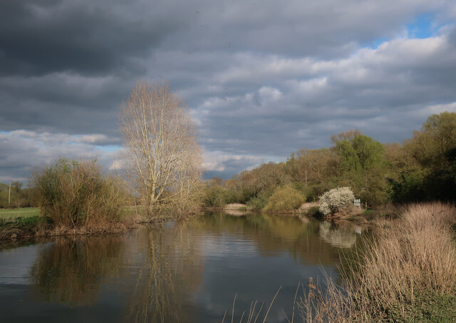
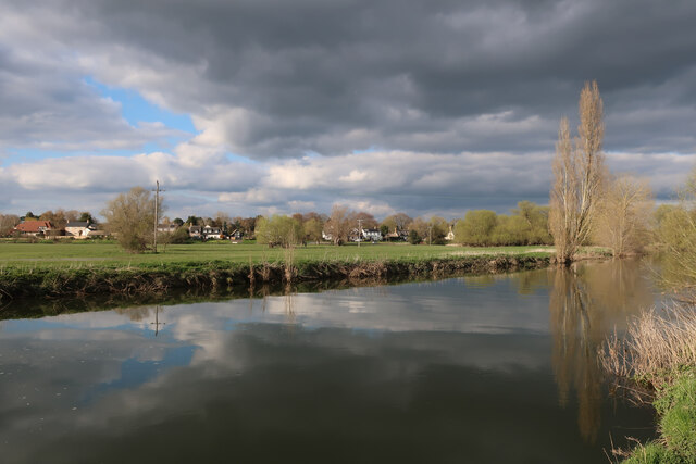
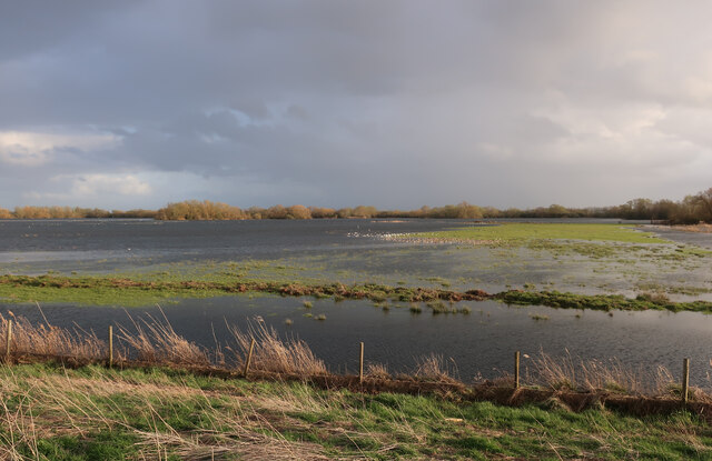
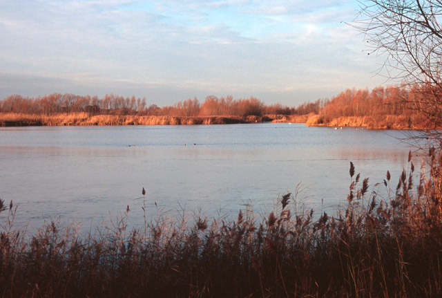
Holywell Lake is a picturesque freshwater body located in Cambridgeshire, England. This serene lake, often referred to as a pool or pond, is nestled within the enchanting landscape of Holywell Fen, a nature reserve renowned for its diverse flora and fauna.
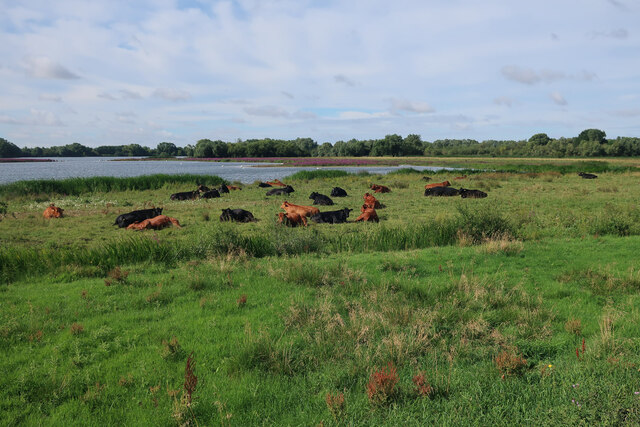
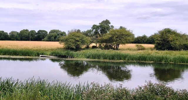
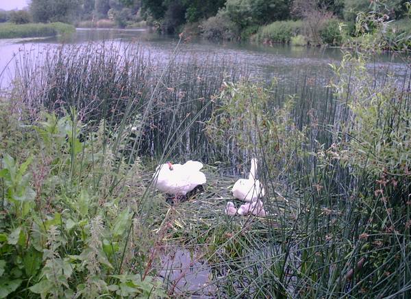
Covering an area of approximately 5 hectares, Holywell Lake is a haven for nature enthusiasts and birdwatchers alike. The lake's calm and tranquil waters are home to a wide variety of aquatic species, including fish, amphibians, and waterfowl. Visitors can often spot graceful swans gliding across the surface, while ducks and geese paddle leisurely along the shoreline.
Surrounded by lush vegetation and reed beds, Holywell Lake also serves as a vital habitat for numerous bird species. The area provides an ideal breeding ground for reed warblers, sedge warblers, and other wetland birds. During the summer months, the lake becomes a symphony of birdsong, as these beautiful creatures establish their territories and court potential mates.
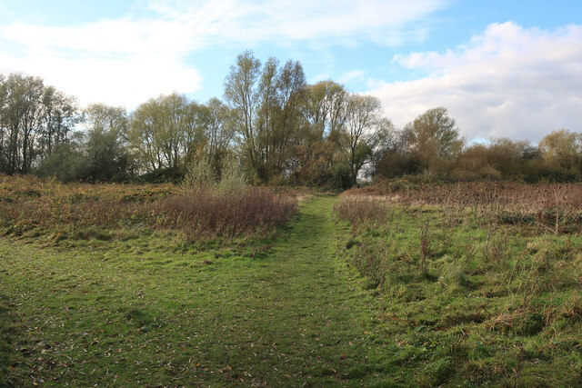
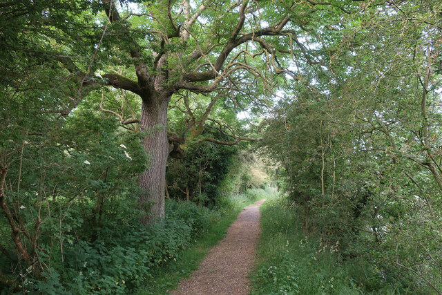
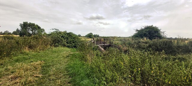
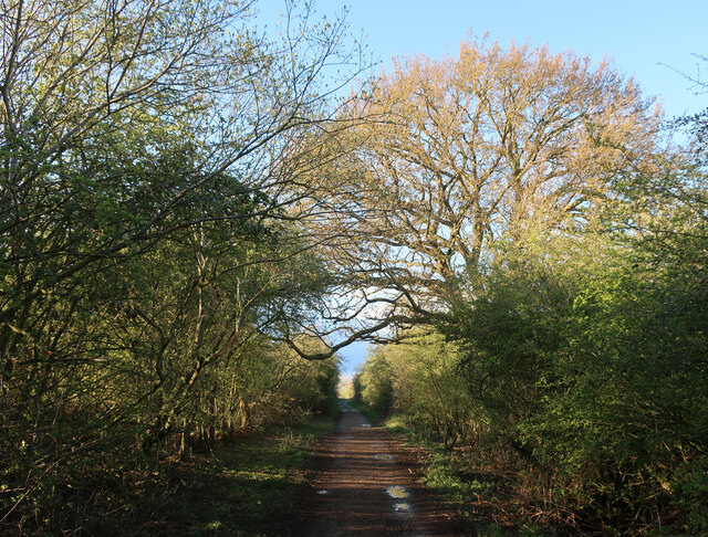
Holywell Lake is easily accessible to visitors, with well-maintained footpaths that wind through the nature reserve. The tranquil ambiance and scenic beauty make it a popular spot for leisurely walks, picnics, and nature photography. The lake's freshwater marshes and surrounding wetland areas also play a crucial role in maintaining the delicate ecological balance of the region.
Overall, Holywell Lake is a hidden gem in Cambridgeshire, offering a peaceful retreat where visitors can immerse themselves in the beauty of nature. Whether it's birdwatching, photography, or simply enjoying a quiet moment of reflection, this idyllic lake provides a welcome respite from the bustle of everyday life.
If you have any feedback on the listing, please let us know in the comments section below.
Holywell Lake Images
Images are sourced within 2km of 52.309545/-0.03416672 or Grid Reference TL3469. Thanks to Geograph Open Source API. All images are credited.

Holywell Lake is located at Grid Ref: TL3469 (Lat: 52.309545, Lng: -0.03416672)
Administrative County: Cambridgeshire
District: South Cambridgeshire
Police Authority: Cambridgeshire
What 3 Words
///retrieves.gong.glaze. Near Needingworth, Cambridgeshire
Nearby Locations
Related Wikis
Fen Drayton Lakes
Fen Drayton Lakes is a complex of lakes, lagoons, ponds and a river, situated close to Fen Drayton, Holywell and Swavesey in Cambridgeshire, England. The...
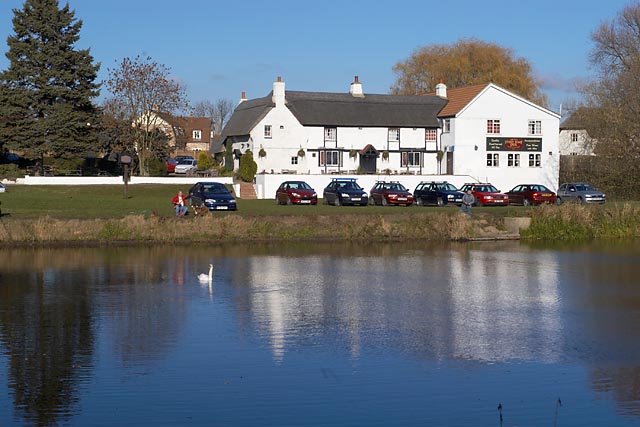
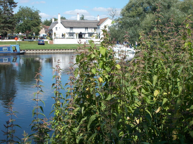
The Old Ferry Boat Inn
The Old Ferry Boat Inn is a pub in Holywell, Huntingdonshire, Cambridgeshire, England. It is situated on the banks of the River Great Ouse.The Old Ferry...

Holywell, Cambridgeshire
Holywell is a village in Cambridgeshire, England, approximately 6 miles (10 km) east of Huntingdon, in the civil parish of Holywell-cum-Needingworth. It...
Ouse Valley Way
The Ouse Valley Way is a 150-mile (240 km) footpath in England, following the River Great Ouse from its source near Syresham in Northamptonshire to its...

Fen Drayton
Fen Drayton is a small village between Cambridge and St. Ives in Cambridgeshire, England, and between the villages of Fenstanton and Swavesey. The village...
Needingworth
Needingworth is a village in Cambridgeshire, England. Needingworth lies approximately 7 miles (11 km) east of Huntingdon and just west of the Prime Meridian...

Swavesey railway station
Swavesey railway station was a station in Swavesey, Cambridgeshire on the line between Cambridge and St Ives which was closed for passenger services in...

Mare Fen
Mare Fen is a 16.3 hectare Local Nature Reserve north of Swavesey in Cambridgeshire, England. It is owned by Cambridgeshire County Council, and was formerly...
Nearby Amenities
Located within 500m of 52.309545,-0.03416672Have you been to Holywell Lake?
Leave your review of Holywell Lake below (or comments, questions and feedback).