Heath Pond
Lake, Pool, Pond, Freshwater Marsh in Huntingdonshire Huntingdonshire
England
Heath Pond
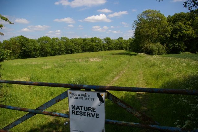
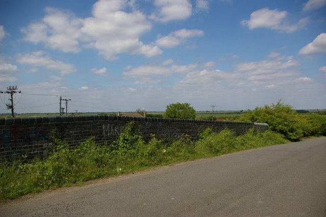
Heath Pond is a picturesque freshwater pond located in Huntingdonshire, England. Spanning an area of approximately 2 acres, it is nestled within the beautiful Heath Nature Reserve. The pond is a popular destination for nature lovers, birdwatchers, and those seeking a tranquil retreat.
The pond is surrounded by lush vegetation, including reeds, grasses, and various aquatic plants that provide a rich habitat for diverse wildlife. It is home to a wide range of aquatic species, such as common frogs, newts, and dragonflies. Visitors can often spot a variety of water birds, including herons, mallards, and coots, as well as occasional visits from kingfishers.
Heath Pond offers several recreational activities for visitors. Angling enthusiasts can enjoy fishing for carp, tench, and roach, among other species. The pond is well-stocked and provides a peaceful setting for a day of fishing. There are also designated areas for picnicking, allowing visitors to relax and enjoy the serene surroundings.
The pond is maintained by the local authorities, ensuring its cleanliness and preservation. It is a part of the larger Heath Nature Reserve, which boasts several walking trails that wind through the surrounding heathland and woodland. These trails offer visitors the opportunity to explore the diverse flora and fauna of the area while enjoying the peaceful ambiance.
In summary, Heath Pond is a charming freshwater pond nestled within the Heath Nature Reserve in Huntingdonshire. With its vibrant wildlife, recreational activities, and tranquil atmosphere, it is a haven for nature enthusiasts and a delightful destination for anyone seeking a peaceful retreat.
If you have any feedback on the listing, please let us know in the comments section below.
Heath Pond Images
Images are sourced within 2km of 52.407847/-0.067318728 or Grid Reference TL3180. Thanks to Geograph Open Source API. All images are credited.


Heath Pond is located at Grid Ref: TL3180 (Lat: 52.407847, Lng: -0.067318728)
Administrative County: Cambridgeshire
District: Huntingdonshire
Police Authority: Cambridgeshire
What 3 Words
///rural.pickle.librarian. Near Warboys, Cambridgeshire
Nearby Locations
Related Wikis

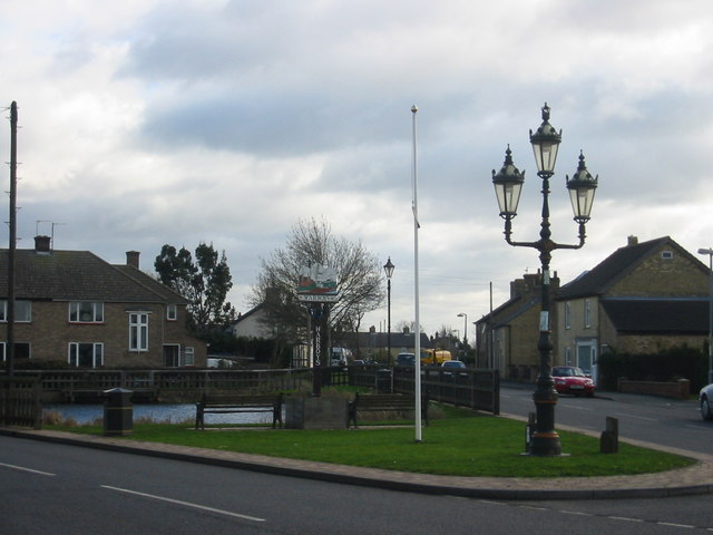
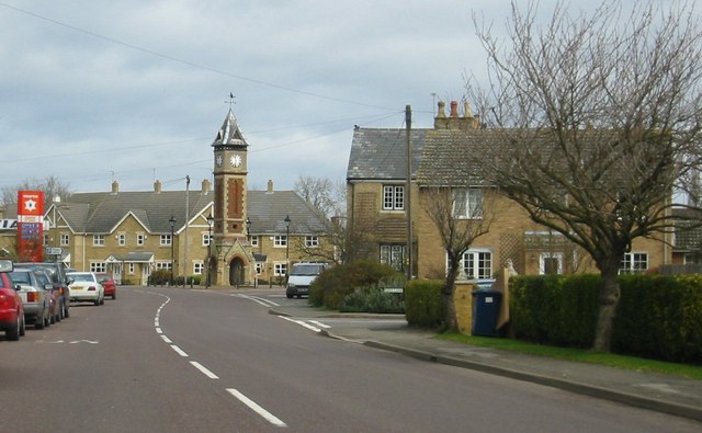
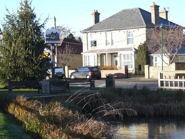
Warboys
Warboys is a large village and civil parish in the Huntingdonshire district of Cambridgeshire, England, 7 miles (11 km) north-east of Huntingdon. ��2...

Warboys Town F.C.
Warboys Town Football Club is a football club based in Warboys, near Ramsey in Cambridgeshire, England. The club are currently members of the Peterborough...
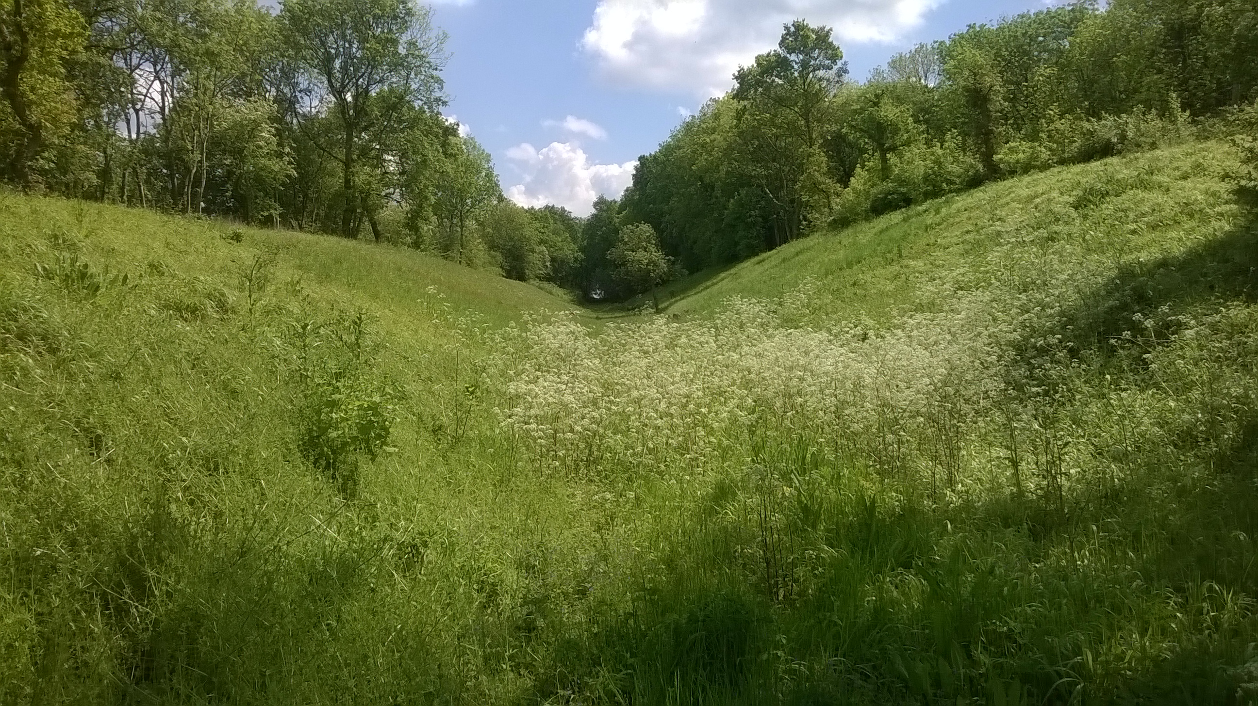
Pingle Cutting
Pingle Cutting is a 1.0-hectare (2.5-acre) nature reserve north of Warboys in Cambridgeshire. It is managed by the Wildlife Trust for Bedfordshire, Cambridgeshire...
Warboys railway station
Warboys railway station was a railway station in Warboys, Cambridgeshire, which opened in 1889 and closed completely in 1964. == References == == External... ==
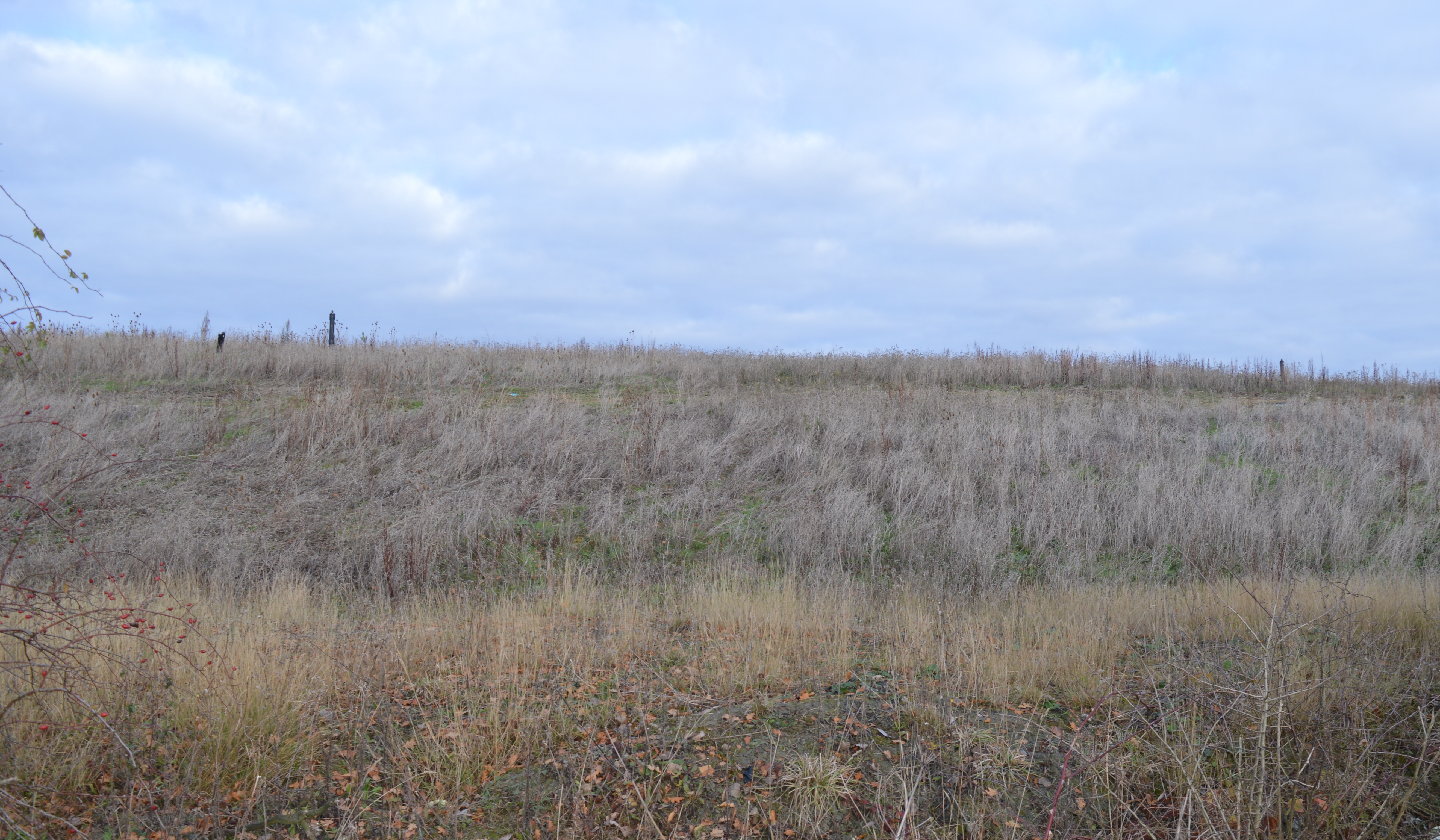
Warboys Clay Pit
Warboys Clay Pit is a 12.6-hectare (31-acre) geological Site of Special Scientific Interest west of Warboys in Cambridgeshire. It is a Geological Conservation...
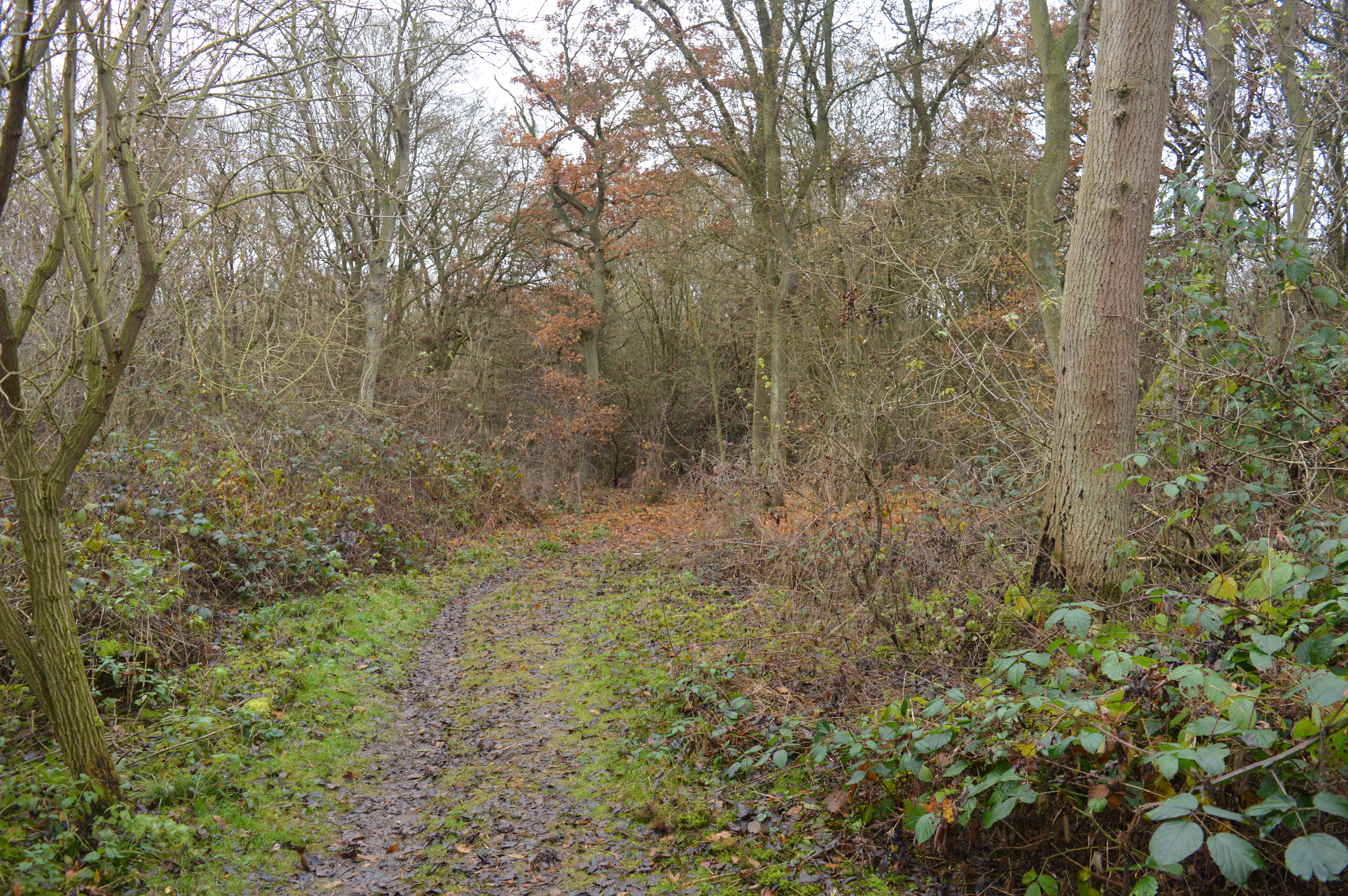
Warboys and Wistow Woods
Warboys and Wistow Woods is a 44.5-hectare (110-acre) biological Site of Special Scientific Interest north of Warboys and west of Wistow in Cambridgeshire...

Pidley
Pidley is a small village in Cambridgeshire, England. Pidley lies approximately 7 miles (11 km) north-east of Huntingdon. Together with the neighbouring...
Wistow, Cambridgeshire
Wistow is a village and civil parish in Cambridgeshire, England. Wistow lies approximately 6 miles (10 km) north-east of Huntingdon, near Warboys. Wistow...
Nearby Amenities
Located within 500m of 52.407847,-0.067318728Have you been to Heath Pond?
Leave your review of Heath Pond below (or comments, questions and feedback).