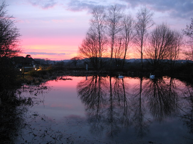
Nutfield Priory Lake
Lake, Pool, Pond, Freshwater Marsh in Surrey Tandridge
England
Nutfield Priory Lake

Nutfield Priory Lake is a picturesque freshwater body located in Surrey, England. Nestled within the tranquil grounds of Nutfield Priory Hotel and Spa, this artificial lake boasts a serene and idyllic setting. Spanning an area of approximately 2 acres, the lake serves as a popular recreational spot for guests and visitors alike.
The lake's crystal-clear waters are sourced from natural springs, ensuring a constant flow of fresh water. Surrounded by lush greenery and tall trees, the lake exudes a sense of tranquility and natural beauty. Its calm surface reflects the surrounding landscape, creating a mesmerizing mirror-like effect.
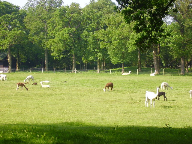
The lake's diverse ecosystem supports a variety of aquatic life, including fish, waterfowl, and insects. It serves as a haven for birdwatchers, as numerous species of birds can be spotted throughout the year. The gentle lapping of the water against the shore provides a soothing soundtrack, further enhancing the peaceful ambiance.
Adjacent to the lake, a small pool and pond can be found, adding to the overall charm of the area. These water features provide a habitat for amphibians, such as frogs and newts, contributing to the ecological balance of the surrounding environment.
Additionally, a freshwater marsh can be observed in close proximity to the lake. This marshland is a haven for wetland plants, such as reeds and cattails, as well as a variety of water-loving animals, including ducks and dragonflies.
Overall, Nutfield Priory Lake offers a tranquil oasis away from the hustle and bustle of everyday life. Its natural beauty, diverse wildlife, and serene atmosphere make it a perfect destination for nature lovers and those seeking a peaceful retreat.
If you have any feedback on the listing, please let us know in the comments section below.
Nutfield Priory Lake Images
Images are sourced within 2km of 51.232785/-0.14283209 or Grid Reference TQ2949. Thanks to Geograph Open Source API. All images are credited.


Nutfield Priory Lake is located at Grid Ref: TQ2949 (Lat: 51.232785, Lng: -0.14283209)
Administrative County: Surrey
District: Tandridge
Police Authority: Surrey
What 3 Words
///cooks.guilty.milky. Near Redhill, Surrey
Nearby Locations
Related Wikis

Nutfield Priory
Nutfield Priory is a Grade II listed country house in Nutfield, Surrey. It was constructed between 1872 and 1874 by John Gibson. It is now a hotel and...

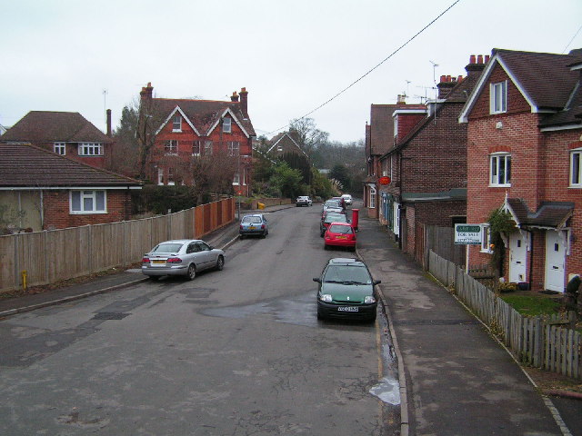
Nutfield, Surrey
Nutfield is a village and civil parish in the Tandridge District of Surrey, England. It lies in the Weald immediately south of the Greensand Ridge and...
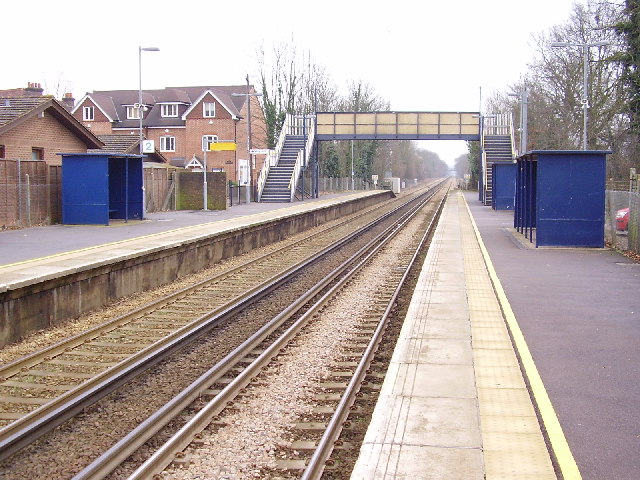
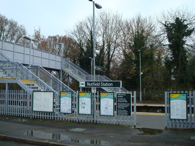
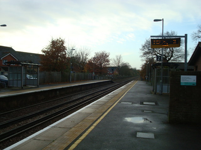
Nutfield railway station
Nutfield railway station is on the Redhill to Tonbridge Line and serves Nutfield, Surrey, England. It is about a mile south of Nutfield itself, located...

Brewing Industry Research Foundation
The Brewing Industry Research Foundation is now part of Campden BRI, a research association serving all sectors of the food and drink industry. The Brewing...
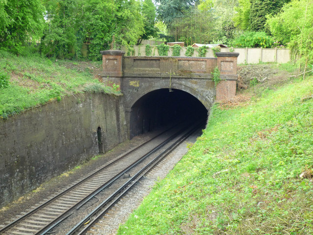
Redhill Tunnel
Redhill Tunnel is a railway tunnel passing under the eastern area of Redhill in Surrey, Great Britain. It is on the 'Quarry Line' section of the Brighton...
Nutfield Marshes
Nutfield Marshes is a 62-hectare (150-acre) nature reserve near Nutfield in Surrey. It is managed by the Surrey Wildlife Trust.These former sand quarries...
Carrington School
Carrington School is a coeducational secondary school located in Redhill, Surrey, England.Initially known as The Warwick School, it was founded in September...
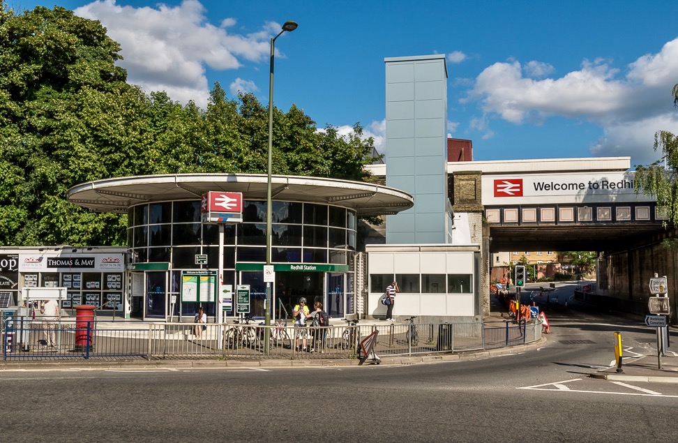
Redhill railway station
Redhill railway station serves the town of Redhill, Surrey, England. The station is a major interchange point on the Brighton Main Line, 22 miles 40 chains...
Nearby Amenities
Located within 500m of 51.232785,-0.14283209Have you been to Nutfield Priory Lake?
Leave your review of Nutfield Priory Lake below (or comments, questions and feedback).