Pond Lye

Lake, Pool, Pond, Freshwater Marsh in Sussex Mid Sussex

England

Pond Lye

Sussex Way, Burgess Hill Built in the late 1980s to connect London Road with the old junction of West Street, Gatehouse Lane and Royal George Road and thus all the new estates that have sprung up in this part of the town. During the 90s the northern section was made part of the new bypass.
Sussex Way, Burgess Hill Credit: Simon Carey

Pond Lye is a picturesque freshwater marsh located in the county of Sussex, England. Nestled amidst the rolling hills and idyllic countryside, this natural gem is a haven for nature lovers and provides a serene retreat away from the bustling city life.

Covering an area of approximately 10 acres, Pond Lye is a combination of a lake, pool, and pond, making it a diverse ecosystem that supports a wide range of flora and fauna. The water body is fed by natural springs, ensuring a constant flow of freshwater throughout the year. The clear and pristine water is home to various aquatic plants, including water lilies and reeds, which create a vibrant and colorful landscape.

The marshland surrounding Pond Lye is a sanctuary for numerous bird species, such as swans, ducks, herons, and kingfishers. Their melodious calls and graceful flights add to the tranquil ambiance of the area. The lush vegetation provides ample cover for small mammals like voles and water shrews, while the banks of the pond are inhabited by frogs, toads, and newts.

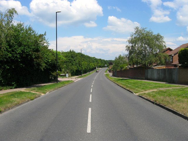
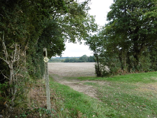
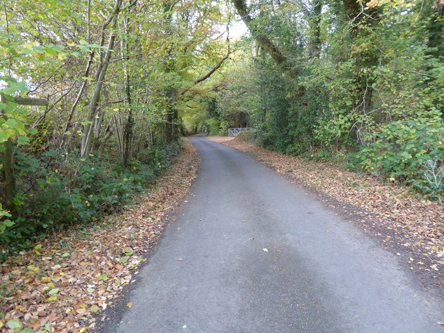
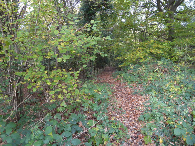
Nature enthusiasts can explore the area via well-maintained trails that wind through the marshland, offering stunning views of the surrounding countryside. Visitors can enjoy peaceful walks, birdwatching, and photography, immersing themselves in the beauty of this untouched natural paradise.

Pond Lye is a must-visit destination for those seeking solace in nature and a chance to witness the rich biodiversity of Sussex. Its unspoiled beauty and peaceful atmosphere make it a perfect spot for relaxation and rejuvenation.

If you have any feedback on the listing, please let us know in the comments section below.
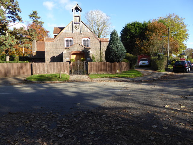
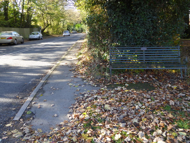
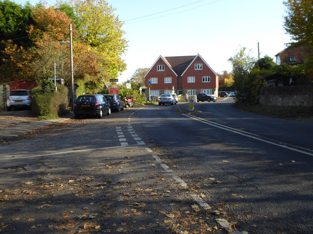
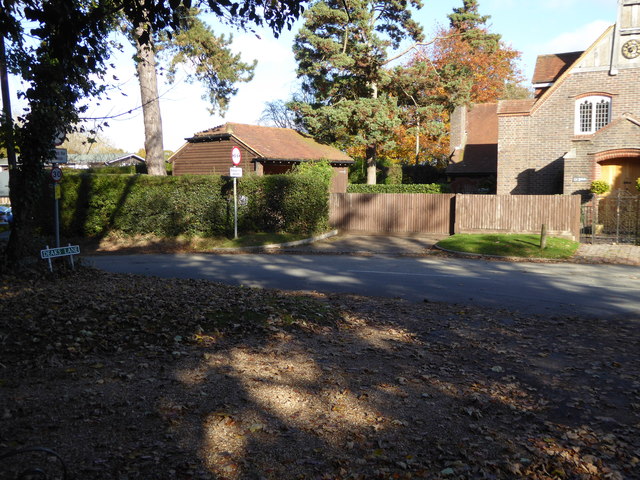
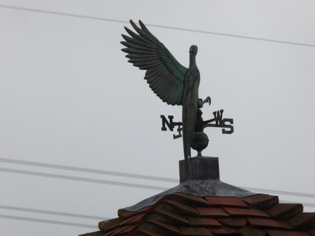
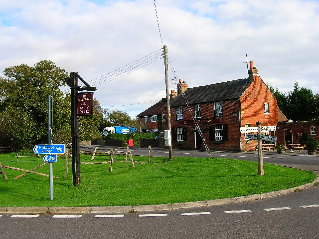
Pond Lye Images

Images are sourced within 2km of 50.978265/-0.16398874 or Grid Reference TQ2821. Thanks to Geograph Open Source API. All images are credited.

Sussex Way, Burgess Hill Built in the late 1980s to connect London Road with the old junction of West Street, Gatehouse Lane and Royal George Road and thus all the new estates that have sprung up in this part of the town. During the 90s the northern section was made part of the new bypass.
Sussex Way, Burgess Hill
Built in the late 1980s to connect London Road with the old junction of West Street, Gatehouse Lane and Royal George Road and thus all the new estates that have sprung up in this part of the town. During the 90s the northern section was made part of the new bypass.
The village sign at Ansty Some relatively recent maps spell Ansty with an 'e' on the end.
The village sign at Ansty
Some relatively recent maps spell Ansty with an 'e' on the end.
House to the east of Ansty This fine house is seen from a footpath leading east from Ansty to Furnace Wood.
House to the east of Ansty
This fine house is seen from a footpath leading east from Ansty to Furnace Wood.
The footpath turns left here It then turns right again just beyond the hedge on the left before heading to Furnace Wood in the distance.
The footpath turns left here
It then turns right again just beyond the hedge on the left before heading to Furnace Wood in the distance.
Leigh Mill A derelict Water Mill, the remains of which have now been cleared away.
Leigh Mill
A derelict Water Mill, the remains of which have now been cleared away.
Leigh Mill In a state of collapse, now dismantled and cleared away.
Leigh Mill
In a state of collapse, now dismantled and cleared away.
"St John's" on Deak's Lane See <a title="https://www.geograph.org.uk/photo/4195839" href="https://www.geograph.org.uk/photo/4195839">Link</a> from 2014 for more information.
"St John's" on Deak's Lane
See Link from 2014 for more information.
Looking westwards on Bolney Road There is a commemorative bench in the foreground.
Looking westwards on Bolney Road
There is a commemorative bench in the foreground.
Houses at the mini roundabout in Ansty The road is the A272.  See <a title="https://www.geograph.org.uk/photo/4297403" href="https://www.geograph.org.uk/photo/4297403">Link</a> for information on the history of this site.  Both houses sport a green cross.
Houses at the mini roundabout in Ansty
The road is the A272. See Link for information on the history of this site. Both houses sport a green cross.
The southern end of Deak's Lane
Looking north on Bishopstone Lane from bridleway junction
Pink's Lane This bridleway connects Bishopstone Lane and Bolney Road.
Pink's Lane
This bridleway connects Bishopstone Lane and Bolney Road.
Ansty Pressure Reducing Station See also <a title="https://www.geograph.org.uk/photo/1784219" href="https://www.geograph.org.uk/photo/1784219">Link</a> from 2010.
Ansty Pressure Reducing Station
See also Link from 2010.
Pink's Corner on Bishopstone Road
Footpath crosses field by pylon
Footpath crosses bridge into field
Footpath approaches Stairbridge Farm
Weatherwing on Stairbridge Lane It seems that the second wing is missing.
Weatherwing on Stairbridge Lane
It seems that the second wing is missing.
Show me another place!

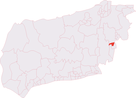
Pond Lye is located at Grid Ref: TQ2821 (Lat: 50.978265, Lng: -0.16398874)

Administrative County: West Sussex

District: Mid Sussex

Police Authority: Sussex

What 3 Words

///drill.motel.skins. Near Burgess Hill, West Sussex

Nearby Locations

Pond Lye

Related Wikis

The Dene Hospital

The Dene Hospital is a private hospital in Gatehouse Lane, Goddards Green, West Sussex, England. It is managed by the Priory Group. == History == The original...

Goddards Green, West Sussex

Goddards Green (Goddards' Green on Ordnance Survey maps) is a hamlet in the Mid Sussex District of West Sussex, England. It is in the civil parish of Hurstpierpoint...

St Paul's Catholic College

St Paul's Catholic College is a mixed-sex Roman Catholic secondary school and sixth form located in Burgess Hill, West Sussex, England. == History == The...
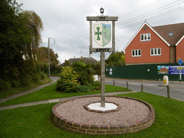
Ansty, West Sussex

Ansty is a village in the Mid Sussex district of West Sussex, England. It lies on the A272 road 1.4 miles (2.2 km) southwest of Cuckfield. It is in the...

Burgess Hill RFC

Burgess Hill Rugby Football Club or BHRFC, known as the Sussex All Blacks, is a rugby union club in Sussex, England. The team currently fields a 1st XV...

Burgess Hill Town (electoral division)

Burgess Hill Town is an electoral division of West Sussex in the United Kingdom, and returns one member to sit on West Sussex County Council. == Extent... ==

Abbotsford, West Sussex

Abbotsford is a settlement in West Sussex, England. Although once of a distinct identity, the name is now rarely used to describe the area and it would...

Ansty and Staplefield

Ansty and Staplefield, previously Cuckfield Rural, is a civil parish in the Mid Sussex District of West Sussex, England, covering an area from the north...

Nearby Amenities

Located within 500m of 50.978265,-0.16398874
Power: tower
Lat/Long: 50.9814041/-0.1617662
Power: tower
Lat/Long: 50.9818527/-0.1663575
The data included in this document is from www.openstreetmap.org. The data is made available under ODbL.

Have you been to Pond Lye?

Leave your review of Pond Lye below (or comments, questions and feedback).